
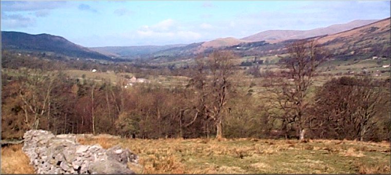
Dentdale
Menu:
National Parks
| Routes Library | North York Moors | Yorkshire Dales |
| Yorkshire Wolds | Howgill Fells | Teesdale |
| Lake District | Peak District |
| 2001 walks | 2002
walks | 2003 walks | 2004
walks |
| 2005 walks | 2006
walks | 2007 walks | 2008
walks |
| 2009 walks | 2010
walks | 2011 walks | 2012 walks |
| 2013 walks | 2014 walks | 2015 walks | 2016 walks |
| 2017 walks | 2018 walks | 2019 walks | 2020 walks |
| 2021 walks | 1993-2000 library | Find a Route Index |
| A few Routes to print out | Request a Route... |
Library Route No.941027
Kingsdale, Green Lane (Dent), Crag Hill,
Great Coum, Gragareth, County Stone circuit - 22km
Yorkshire Dales . . .
Map: OS Explorer OL2 Yorkshire Dales Southern & Western areas
Note: This route, on public rights of way and across open access land, is physically challenging with rough walking over steep hillsides and it includes some difficult navigation over these remote hills particularly in low cloud which can occur at any time.
Printer friendly version (opens
in a separate window)
The approximate route is shown by a blue line.
Use your mouse to drag the map to the area of interest and
zoom in/out using the controls on the left hand side of the map.
Please use my map to find the route on your own large scale
walking map such as the OS Explorer series at 1:25000.
If you have time if you do this walk please let me know how you get on.
That would be very helpful to me to keep my information accurate and up to date.
Please note that I provide this free service to you as a fellow walker on the
understanding that you walk
the route entirely at your own risk and that the information is not used for
any commercial purpose.
Library Route No.941027
Kingsdale, Green Lane (Dent), Crag Hill,
Great Coum, Gragareth, County Stone circuit - 22km
Yorkshire Dales . . .
Map: OS Explorer OL2 Yorkshire Dales Southern & Western areas
General Directions (see markers on the route map)
Note: This route, on public rights of way and across open access land, is physically challenging with rough walking over steep hillsides and it includes some difficult navigation over these remote hills particularly in low cloud which can occur at any time.
1.) The walk starts at the junction of a walled moorland track (called Green Lane) with Thornton Lane (the road from Dent to Ingleton) at map ref. SD723822. About 150m north of this junction along the road towards Dent there is room to park off the road at a small informal lay-by. From the junction walk along Green Lane away from Thornton Road. Green Lane has been badly damaged over the years by the passage of numerous off road vehicles. It is deeply rutted mud and awkward to walk. Follow Green Lane for about 6.5km to map ref. SD693857. Here there is a walled track off to the left.
2.) Turn off Green Lane to follow the walled track on the left for about 800m to a sheep fold where the track ends at a place marked on the map as Blea Gill Rigg. From here it is rough going up the steep hillside to the trig point on Crag Hill about 1.8km to the south. From the top of Crag Hill follow the ridge for about 1km to Great Coum at map ref. SD700836.
3.) From Great Coum continue along the path on the ridge bending round to head southwards, keeping to the west of the ridge wall, past the cairn at Gatty Pike and past the County Stone, a large boulder built into the ridge wall marking the boundary between the North Riding of Yorkshire and the County of Westmorland (Replaced by North Yorkshire & Cumbria). From the County Stone continue along the ridge for a little over 3km to the trig point on Gragareth at map ref. SD687793.
4.) Excellent views from the ridge if the weather is fine over Ease Gill to the west and across to Whernside to the east. From Gragareth return along the ridge to the field before the County Stone, where there is a way down across the open access land on the right to the track called Green Lane. At the track turn right to follow Green Lane for about 2km back to the road and the end of the walk.
(top of page)