
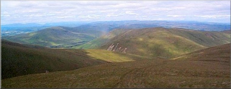
The Howgill Fells
Menu:
National Parks
The approximate route is shown by a blue line.
Use your mouse to drag the map to the area of interest and
zoom in/out using the controls on the left hand side of the map.
Please use my map to find the route on your own large scale
walking map such as the OS Explorer series at 1:25000.
If you have time if you do this walk please let me know how you get on.
That would be very helpful to me to keep my information accurate and up to date.
Please note that I provide this free service to you as a fellow walker on the
understanding that you walk
the route entirely at your own risk and that the information is not used for
any commercial purpose.
Library Route No. 940417 - Tebay,
Waskew Head, Ellergill Beck, Uldale Head,
Blease Fell, Pawson Knott circuit - 13km
Howgill Fells . . .
Map: OS Explorer OL19 Howgill Fells and Upper Eden Valley at 1:25000
General Directions (see markers on the route map)
1.) Start at the little gravel lay-by opposite the tennis courts at map ref. NY619045 in the village of Tebay next to junction 38 on the M6. From the lay-by walk about 30m south west along the road and turn left to walk along a narrow lane heading generally southeast towards Edge Farm. About 250m from the road, the lane bends to the right and passes the end of the access track to Edge Farm. About 150m further on the lane forks into two moorland tracks. Take the left hand fork and follow the track for about 1.4km passing Waskew Head farm on the left of the track to reach a junction with a track running parallel to a field boundary wall at map ref. NY632034.
2.) At the wall at map ref. NY632034 turn right and follow the track for about 1.7km to cross Ellergill Beck near an old sheep fold at map ref. NY632019. Continue along Ellergill Beck and then turn left to follow Lantley Gill climbing up next to the strem to the ridge a few hundred metres south of Rispa Pike at map ref. NY638009. At the ridge turn right to walk along the ridge for about 900m climbing up to the top of Uldale Head at map ref. NY640000.
3.) From the top of Uldale Head turn back to head North West dropping down over Archer Moss to the saddle and climb up to the top of Blease Fell at map ref. NY623004. From the top of Blease Fell follow the ridge northwards for about 2km dropping down to Pawson Knott at map ref. NY69022.
4.) From Pawson Knott at map ref. NY69022 continue along the ridge dropping down over Roger Howe and then bearing right to join a public footpath next to the boundary wall at map ref. NY619033. Follow the track by the wall for about 1km to rejoin the lane used to leave Tebay on the outward leg of the route. Retrace the outward route along the lane for about 400m to the road in Tebay. At the road turn right and walk about 100m along the road back to the lay-by opposite the tennis courts and the end of the walk.
(top of page)