Menu:
National Parks
The approximate route is shown by a blue line.
Use your mouse to drag the map to the area of interest and
zoom in/out using the controls on the left hand side of the map.
Please use my map to find the route on your own large scale
walking map such as the OS Explorer series at 1:25000.
If you have time if you do this walk please let me know how you get on.
That would be very helpful to me to keep my information accurate and up to date.
Please note that I provide this free service to you as a fellow walker on the
understanding that you walk
the route entirely at your own risk and that the information is not used for
any commercial purpose.
Library Route No. 940305 - Rosedale
Blakey Ridge, IronStone Railway, Rosedale Head,
Thorgill, Railway path circuit - 14km
North York Moors . . .
Map: OS Explorer OL26 North York Moors Western area at 1:25000
General Directions (see markers on the route map)
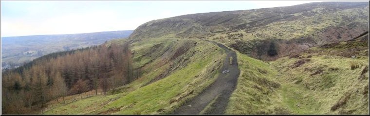
1.) Start at the little gravel car park on Blakey Ridge at map ref. SE683989 opposite the top of Blakey Bank, the road up the valley side from Church Houses in Farndale. From the car park follow the path eastwards for about 100m to the old ironstone railway bed. It's now just a cinder track and is a well walked footpath. At the railway turn left and walk along the old railway bed. After about 2km the track begins to bend round to the right at the head of Rosedale, crossing the streams that join to form the River Seven flowing down the valley. The old railway drainage no longer functions properly and the old railway cuttings are flooded. The path climbs up around the top of the cuttings.
2.) Once the path has turned around the head of the valley continue down the eastern side of the valley passing the old ironstone kilns by the track and the remains of the miners village on the terrace above. After about 5km the track comes to the end of the old railway line at a farm where numerous fancy poultry are kept (map ref. SE707978) From the end of the railway follow the farm access track down to the road at Hill Cottages.
3.) At the road opposite Hill Cottages, cross the road and follow the track opposite for about 150m to a field gate. Go through the gate and take the path across the field following what remains of an old paved pannierway to cross a footbridge over the River Seven and climb up across a field to Thorgill Farm. Continue along the farm access track out to a minor road on the edge of the hamlet of Thorgill.
4.) At the road on the edge of Thorgill, turn right and walk along the road for about 120m. Here turn left off the road on to a track leading south past a few stone cottages to a footpath climbing up the valley side for about 600m to map ref. SE702959 where the path crosses Thor Gill (stream). Once across the stream the path peters out. Continue directly up the hillside for another 700m to reach the old ironstone railway again. At the railway turn right and follow the old railway bed for about 3km back to the branch in the railway leading out to the Blackey Ridge road next to the car park and the end of the walk.
(top of page)