Menu:
National Parks
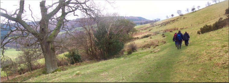
The approximate route is shown by a blue line.
Use your mouse to drag the map to the area of interest and
zoom in/out using the controls on the left hand side of the map.
Please use my map to find the route on your own large scale
walking map such as the OS Explorer series at 1:25000.
If you have time if you do this walk please let me know how you get on.
That would be very helpful to me to keep my information accurate and up to date.
Please note that I provide this free service to you as a fellow walker on the
understanding that you walk
the route entirely at your own risk and that the information is not used for
any commercial purpose.
Library Route No. 940521
Newgate Bank, Roppa Wood, Helmsley Moor,
Fangdale Beck, Easterside Hill circuit - 18km
Bilsdale, North York Moors . . .
Map: OS Explorer OL26 North York Moors Western area at 1:25000
General Directions (see markers on the route map)
1.) Start the walk at the Forestry Commission public car park at the top of Newgate Bank at map ref. SE564890, about 8km north of Helmsley on the B1257. From the car park follow the car park access track back towards the main road (B1257). Where the access track makes its final right hand bend to the road, turn left to follow an access track through the conifer plantation for about 600m to Rievaulx Moor. Continue along the track at the top of the escarpment with the moor on the right and the conifer plantation down the bank on the left. After about 1.8km, at map ref. SE580905, take the track on the left heading down the bank for about 600m to the south western corner of Roppa Wood, map ref. SE586908. Follow the path along the western side of the wood for about 800m to the north western corner of the wood at map ref. SE586916.
2.) At the north western corner of Roppa Wood, cross the stile by the gate and continue northwards along the path across the open moor for about 3km to the intake wall at map ref. SE582942, heading for High Crosset farm. Follow the path down across the fields to High Crosset farm. Above the farm, at map ref. SE576950, turn left to follow the path down past the farm and out to the main road (B1257). At the road turn left and walk along the road for about 300m to the turning on the right to Fangdale Beck. Turn off the main road and follow the lane to Fangdale Beck village. Ignore the right hand fork in the lane and continue around a left hand bend in the lane to Malkin Bower farm.
3.) In front of Malkin Bower farm turn right to climb up a stony track for about 700m to the edge of the open moor at map ref. SE565939. Go through the gate to the moor and follow the rather wet track heading gerally south eastwards for almost 3km to the ruins of Crow Nest farm at map ref. SE547914.
4.) At the ruins of Crow Nest farm turn left to follow a bridleway for about 350m then turn right to follow a footpath around the base of Easterside Hill for about 1km to the road at map ref. SE558906. The drops down a few steps in the bank at the road side and once on the road turn left for about 20m then turn right off the road over a stile. Follow the path across the fields dropping down to a farm track at map ref. SE561900. Follow the farm track round a right hand bend to some stone out buildings. Drop down in front of the out buildings along a path to a foot bridge over the river Seph at map ref. SE561897. From the footbridge follow the path across a large field (the isolated large tree in the field is a good landmark to aim for) to skirt around the eastern side of Fair Hill farm. Above the farm at map ref. SE561892, turn left and follow the path climbing up the hillside for about 400m to the road on Newgate Bank. At the road turn right and walk along the road back to the car park and the end of the walk. There is a rough scramble up the bank past the view point platform to save walking back to the vehicle entrance to the car park.
(top of page)