Menu:
National Parks
| Routes Library | North York Moors | Yorkshire Dales |
| Yorkshire Wolds | Howgill Fells | Teesdale |
| Lake District | Peak District |
| 2001 walks | 2002
walks | 2003 walks | 2004
walks |
| 2005 walks | 2006
walks | 2007 walks | 2008
walks |
| 2009 walks | 2010
walks | 2011 walks | 2012 walks |
| 2013 walks | 2014 walks | 2015 walks | 2016 walks |
| 2017 walks | 2018 walks | 2019 walks | 2020 walks |
| 2021 walks | 1993-2000 library | Find a Route Index |
| A few Routes to print out | Request a Route... |
Route No. 960511 - East Moors Church,
Bonfield Gill, Little Roll Gate, Cinder Hill Wath,
Old Kiln, Roppa Wood, Feather Holme Farm (B1257),
Fair Hill Farm, Newgate Bank, Rievaulx Moor, Clark
Bank, Old Fold circuit 21km - North York Moors . . .
Map: OS Explorer OL26 North York Moors Western area
Printer friendly version (opens in a separate window)
For a shorter version of this route (12km) see route no. 960313
The approximate route is shown by a blue line.
Use your mouse to drag the map to the area of interest and
zoom in/out using the controls on the left hand side of the map.
Please use my map to find the route on your own large scale
walking map such as the OS Explorer series at 1:25000.
If you have time if you do this walk please let me know how you get on.
That would be very helpful to me to keep my information accurate and up to date.
Please note that I provide this free service to you as a fellow walker on the
understanding that you walk
the route entirely at your own risk and that the information is not used for
any commercial purpose.
Route No. 960511 - East Moors Church,
Bonfield Gill, Little Roll Gate, Cinder Hill Wath,
Old Kiln, Roppa Wood, Feather Holme Farm (B1257),
Fair Hill Farm, Newgate Bank, Rievaulx Moor, Clark Bank,
Old Fold circuit 21km - North York Moors . . .
Map: OS Explorer OL26 North York Moors Western area
General Directions (see markers on the route map)
1.) The walk starts at the red telephone box at map ref. SE 609 903 by East Moors Church (St. Mary Magdalene) The church was designed by Temple Lushington Moore, the renowned church architect, in 1882 and is worth a visit. There's room to park on the roadside opposite the phone box. From the road take the public footpath east along the side of the church to a large field. At the field keep left along the path around the field boundary to Lund Farm. At the farm keep straight ahead along a farm access track by at the edge of the fields heading north east for about 500m to a ford across Bonfield Gill. Cross the ford (can be quite deep after heavy rain) and follow the path south east for 150m up the slope to join a path heading northwards and then north east climbing up the moor to a track called Little Roll Gate. Turn left to follow the Little Roll Gate track for about 1.4km to a junction in the moorland track at map ref. SE 618 933.
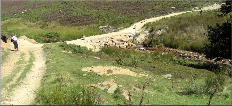
2.) Turn left at the junction in the tracks at map ref. SE 618 933 and follow the track down to the Cinder Wath. There used to be a very pretty ford here across Bonfield Gill but now it's a pipe through a stone embankment for the grouse shooters' access. Follow the track up the hillside to a minor road at map ref. SE 607 930. About half way up the slope the track crosses an old man made water channel that used to carry the water supply from a point near Bonfield Gill Bridge to farms down the valley. From the road follow the footpath heading south west to Old Kiln farm. Continue along the path round the farm and then south west again to cross Bogmire Gill at map ref. SE 602 922. From the beck follow the path up the wooded hillside for about 150m to join a stony forest access track. Follow the access track heading directly up the hillside to the corner of the wood at map ref. SE 595 918. Continue along the path following the wall at the edge of the moor just north of Potter House farm and round the northern edge of Roppa Wood to the north western corner of the wood at map ref. SE 586 915.
3.) At the north western corner of Roppa Wood at map ref. SE 586 915 cross the stile into the wood and follow the wide stony access track southwards for about 200m. Where the track is bending to the left away from the edge of the wood keep right off the track to follow a footpath along the boundary fence between the wood and the open moor. Continue along this path for about 500m to the south western corner of Roppa Wood, map ref. SE 586 908, at the foot of Rievaulx Bank. Turn right here and follow the public footpath on the north side of the fence between Rievaulx Bank woodland and Tod Hill moorland. After a little over 1km the path crosses from the moorland into some fields and bends around to the left to follow the edge of Low Wood. At map ref. SE 567 908 south of Oak House, the path forms a ‘T’-junction with a bridleway coming from Oak House. Turn left here to follow the bridleway out to the B1257 above Feather Holme Farm. At the road turn left and walk along the grass verge for about 100m, then just past the farm turn right off the road to follow a public footpath down the side of the farm. Continue along the path through Feather Sike Wood and out into a large field.
4.) In this field, at map ref. SE 561 897, turn left (away from the footbridge over the River Seph) and follow the path across the field past a large tree in the middle of the field to pass to the east of Fair Hill Farm. Turn left next to the farm and follow the path across several small fields (stiles at the fences) and follow a path climbing up the hillside to the B1257 on Newgare Bank. At the road turn right and walk up the road for about 250m to a point just past a small disused quarry on the left hand side of the road. From here cut up the bank through the scrub (there is a bit of a path of sorts) to the view point at the edge of the forestry commission car park at the top. Follow the access track out of the car park to the south east and at map ref. SE 564 888 turn left and follow the public footpath along a stony forest access track north eastwards for about 500m to the edge of the open moor. Continue along the track at the edge of the moor along the top of the wooded bank for about 3.3km to a minor road at map ref. SE 593 903 at the top of Helmsley Bank.
5.) Cross the road and continue along the track for another 600m. Here turn sharp left off the forest access track to a footpath through the dense foliage heading north west to descend Clark Bank to another forestry access track at the bottom at map ref. SE 596 905. At this track turn right and follow the track for about 400m to a point where the stony track bends to the left. At this bend keep straight on along a grassy track heading north east for about 200m and then bending to the right to a cottage called Old Fold. The path turns left to pass in front of the cottage and cross the beck. Once across the beck the track turns right heading south east for about 400m to a ford and footbridge over Cowhouse Beck. Cross the beck and follow the track up to the road at map ref. SE 609 902. At the road turn left and follow the road for about 150m back to the parking spot by the red phone box and the end of the walk.
(top of page)