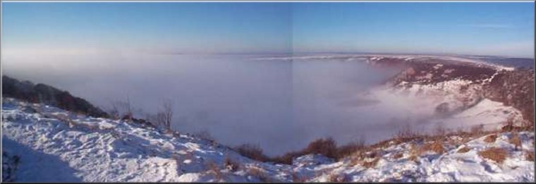
The Hole-of-Horcum seen from the car park
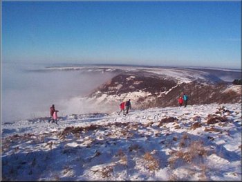
Below the moor tops, the valleys were filled with freezing fog. We started out along the Old Wives Way towards the Bridestones. Once we were clear of the car park area and established on our route there was the dome of Blakey topping over to our left. |
This morning I met my sister and brother-in-law at the Hole-of-Horcum car park at 11.00am (to allow for the effects of last night's New Year celebrations to subside). It was another good day for a walk with bright winter sunshine and clear skies on the moor tops.
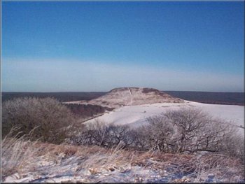
Blakey Topping seen from the Old Wife's Way
|
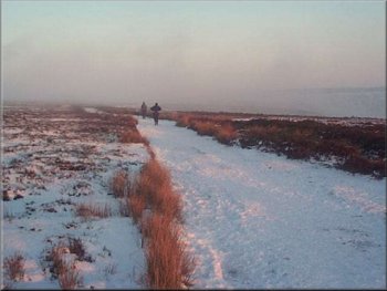
Following the Old Wife's Way towards the Bridestones
The Bridestones are accessible from the Dalby forest drive and are well worth a visit. We sat on a rock shelf on one of the stones for our lunch. My sister had brought her 'Walkman' to listen to a program about the life of Humphrey Littleton and as we walked our progress was punctuated by her laughter at the gems arriving via her headphones. |
The whole moor top had about three inches of snow glinting in the sunshine, the whole scene was magical with every twig on the trees coated with frost. After about 3 miles we approached the Bridestones. These are large blocks of soft sandstone that have been worn into weird shapes by the gritty wind on this exposed part of the moor.
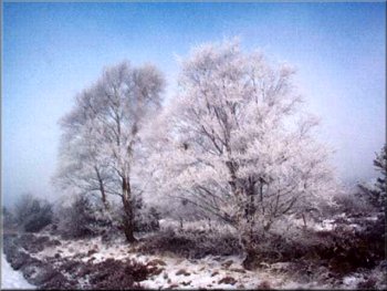
Birch trees with each twig covered in frost
|
Rocky outcrops of the Bridestones
|
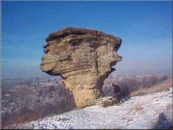
One of the Bridestones where we had a refreshment stop
From the former Youth Hostel we followed the track up hill and across the fields until we reached the main Whitby to Pickering road at Lockton. |
We followed the path down from the Bridestones ridge to the edge of a car park on the Dalby forest drive and turned along the path passing a former youth hostel.
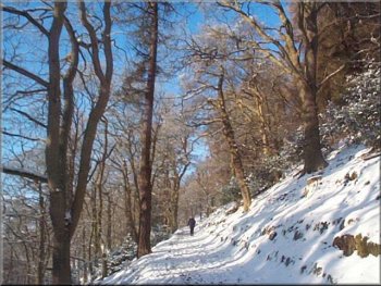
Path down from the Bridestones to the Dalby Forest Drive
|
Passing the former Youth Hostel just off the Dalby Forest Drive
|
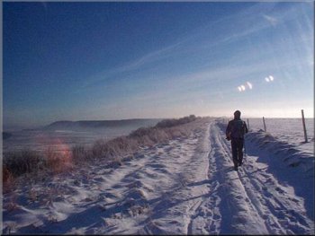
Following the track from Dundale Pond back to Saltergate

The whole route is around 9 miles and took us four and a half hours including our stops. We drove back to York to my sister's house for a meal and spent a frustrating hour from 4.00 to 5.00pm (I heard both news bulletins on the radio) covering just 2 miles along the Malton by-pass. It turned out to be nothing more than the sheer volume of traffic trying to leave the by-pass to continue along the single carriageway part of the road to York. |
We crossed the main road heading for the village and as soon as we reached the edge of the village we turned right onto a path across a field and down through the woods to the valley bottom. Here we crossed the footbridge and climbed the other side to the road as it enters Levisham village. There is a seat beside the road there and we stopped for a drink before continuing up through the village to join the track to Dundale Pond. From here we kept to the track around the rim of the Hole-of-Horcum back to the car park.
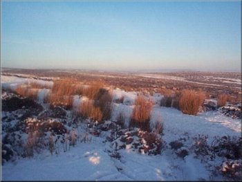
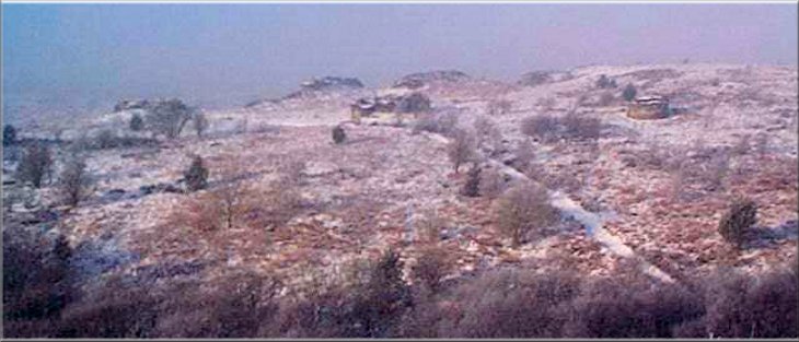
Winter moorland scene as we returned to the car park
|
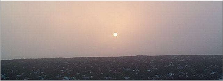
Hazy winter sun over the moor as we finish our walk around 3 in the afternoon
|