white horse logo

Looking towards Glasshouses from Brimham Rocks

Menu:

National Parks

| 2001 walks | 2002 walks | 2003 walks | 2004 walks |
| 2005 walks | 2006 walks | 2007 walks | 2008 walks |
| 2009 walks | 2010 walks | 2011 walks | 2012 walks |
| 2013 walks | 2014 walks | 2015 walks | 2016 walks |
| 2017 walks | 2018 walks | 2019 walks |2020 walks |
| 2021 walks | 1993-2000 library | Find a Route Index |
| A few Routes to print out | Request a Route... |

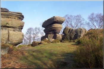
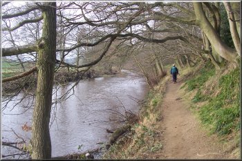
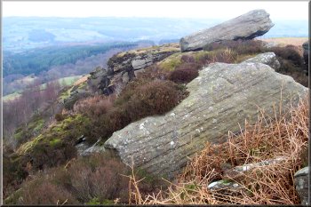
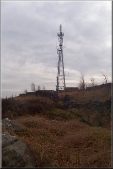
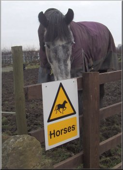
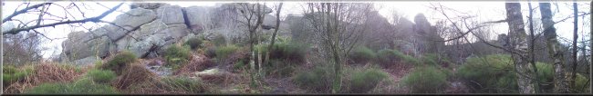
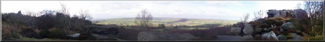
Route No. 128 - Wednesday 16 February 2005
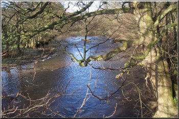
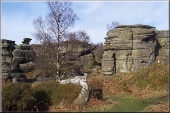
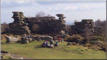
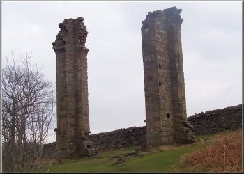
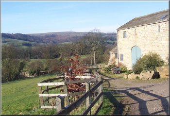
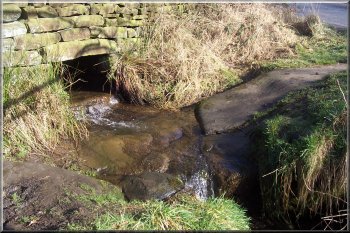
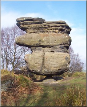
Pateley Bridge, Brimham Rocks,
Guise Cliff (Nidderdale Way) - 16km
Nidderdale . . .

Map: OS Explorer 298 Nidderdale at 1:25000
Route Map on 'Landranger' map base from OS Open Space service

River Nidd below Pateley Bridge
Today we're walking a route published in the February 2005 edition of the "Dalesman" which uses parts of the Nidderdale Way. We drove to Pateley Bridge and parked in the riverside car park. We set off at about 10am, after sampling one of their wonderful hot pork pies from Kendals, half way up the hill. The weather was just perfect for walking with a sharp ground frost, clear blue sky and brilliant winter sunshine. We left the long stay car park by the riverside path heading downstream for about 1.5km to map ref. SE 166647 where the path forks and we took the left hand branch away from the river up to Glasshouses. At the edge of the village there is a path between the houses that crosses a field to the B6165 at map ref. SE 171648. At the road we took the turning to Ripon for a few hundred metres to the edge of Blazefield where we turned on to the Nidderdale Way at map ref. SE 175651
. We followed the Nidderdale Way for about 2.5km to map ref. SE 193653 where the path turns right down the hill to Mill House and at map ref. SE 196654 we left the Nidderdale Way and followed the path up the hill to map ref. SE 205653 to the edge of the woodland round the National Trust land at Brimham Rocks. We climbed up to the top of the rocks and found a comfortable spot to sit and have our lunch. The view looking back towards Pateley Bridge was a wonderful. After lunch we walked through the National Trust Brimham Rocks property and out by the car park to the road at map ref. SE 208640 where we rejoined the Nidderdale Way. We turned right off the road to follow the Nidderdale Way to the road at Smelthouses, map ref. SE 194642. At the road we turned left away from the Nidderdale Way, up the hill for about 100m and turned right off the road on to a track through the woods to Knox Hall and out on to the B6165 at map ref. SE 189639.
Part of Brimham Rocks
We crossed the main road and took the path across the field down to the river Nidd and followed the path along the river bank to the footbridge at map ref. SE 185641. We crossed the footbridge and climbed up the valley side to the field gate at map ref. SE 175634. Through the gate we continued to climb the final steep part of the hill along a green track up to the radio mast at map ref. SE 170631. The weather forecast had predicted that the sky would cloud over in the afternoon and it was quite overcast with a cold wind now. We found a sheltered spot in the rocks at the top of Guise Cliff with a good view over Glasshouses for another break and a hot drink.
After our break we continued on the path around the edge of Guise Cliff to rejoin the Nidderdale Way at Yorke's Folly. (On the way there was a low flying military helicopter with all kinds of hardware slung underneath that flew directly over head. I was gazing around at this wonder of modern technology and tripped over a rock and went full length in the black mud) Yorke's Folly is a pair of columns built to resemble the ruined arch of a large monastery window. The Dalesman says it was a make-work project during some 19th century hard times. From here we followed the Nidderdale Way back into Pateley Bridge and turned along the main road to cross the bridge back to the car park. The whole route was just over 16km and took us about 5 hours 45 minutes including our breaks. We left our boots and bags in the car and had a coffee and a toasted teacake in the very pleasant tearooms on the river side. I got a very disdainful stare in my muddy outfit, from a rather prim lady at the next table.
Yorke's Folly
Yorke's Folly

Everything about this lovely new dry stone wall is just so pleasing to the eye
Everything about this lovely rebuilt dry stone wall is just so pleasing to the eye

Crisp winter morning leaving Pateley Bridge
Footbridge over the Nidd near Glasshouses
Looking back towards the river from Glasshouses
Little stone ford on the Nidderdale Way
Light aircraft buzzing around doing aerobatics for hours
Huge wind eroded rock perched on a tiny plinth
Huge wind eroded rock perched on
a tiny plinth at Brimham Rocks

Part of Brimham Rocks

This week's bit of machinery - and excavator parked up in a field
This week's machine - an excavator parked in a field

Snowdrops by the stream near Mill House
Celandines by the River Nidd
River Nidd below Knox Hall
The top of Guise Cliff
Phone mast on top of Guise Cliff
What on earth is the point of this notice?

Climbing up through the woods to Brimham Rocks