| 2001 walks | 2002
walks | 2003 walks | 2004
walks |
| 2005 walks | 2006
walks | 2007 walks | 2008
walks |
| 2009 walks | 2010
walks | 2011 walks | 2012 walks |
| 2013 walks | 2014 walks | 2015 walks | 2016 walks |
| 2017 walks | 2018 walks | 2019 walks |2020 walks |
| 2021 walks | 1993-2000 library | Find a Route Index |
| A few Routes to print out | Request a Route... |
Route No 135a - Saturday
16 April 2005
Melrose to Ancrum - 25km.
St.
Cuthbert's Way - Scottish Borders
Map: OS Explorer OL44 Tweed Valley - Peebles to St. Boswells at
1:25000
Note: the route is marked on the OS maps and
is well signposted
It
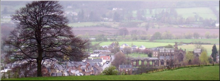
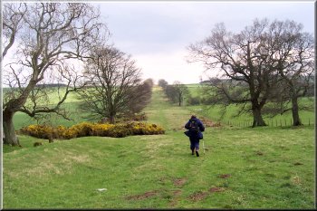
was a misty drizzly morning. We had a good breakfast
and set off before 9am. Melrose was very quiet with
few shops open so early. We began the climb onto the
Eildon Hills up a long wooden staircase and then continued
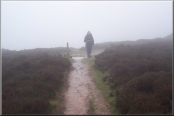
up a wet muddy path to the misty ridge between two peaks.
Well we couldn't see anything more than 50m away, but
the peaks did appear in the distance behind us later
in the day.
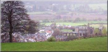
Ruins
of Melrose Abbey
|
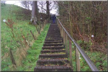
Staircase
at the start of the climb onto the Eildon Hills
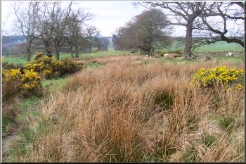
The whole route turned out to be very well sign-posted
so that the map was hardly needed to navigate, but it
was still good to follow where we were on the map.
|
 The
saddle in the Eildon Hills
The
saddle in the Eildon Hills
|
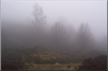 Mist
& drizzle on the Eildon Hills
Mist
& drizzle on the Eildon Hills |
We
walked down the south side of the Eildon Hills through
some pretty beech woods still shrouded in mist but by
the time we had passed through the village of Bowden
to the Bowden Burn we had dropped down out of the cloud
and slowly the weather began to improve.
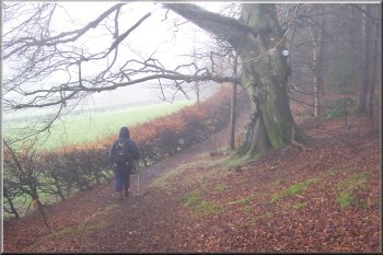
Woods
to the south of the Eildon Hills
|
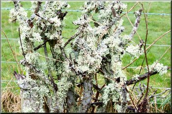
Dead
bush covered in lichen
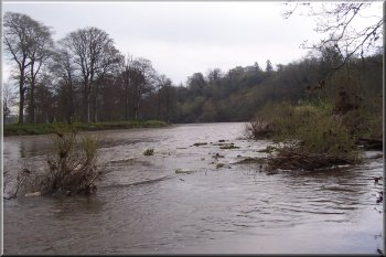
The
Bowden Burn was in spate and we followed it past Newton
St. Boswells to its confluence with the Tweed. What
an impressive river the Tweed was almost bursting its
banks after all the rain and flowing at a tremendous
speed for such a big river.
|
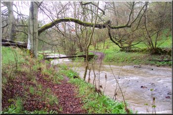 The
Bowden Burn in spate
The
Bowden Burn in spate |
 The
Bowden Burn flowing into the Tweed
The
Bowden Burn flowing into the Tweed |
We
sat on a seat at a view point overlooking the River
Tweed for a drink and could now see the saddle between
the two main peaks of the Eildon Hills that we had walked
across, but there was still some low cloud lingering
on their tops.
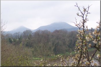
The
Eildon Hills still with their tops in the cloud
|
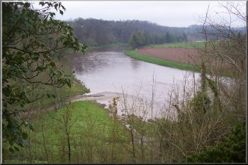
The
River Tweed in flood near St. Boswells
We
continued to follow the Tweed for about 3km to Maxton
and the raw power of the river in flood was quite impressive.
|
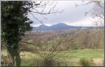 At
last the cloud has gone and the Eildon Hills look a bit
farther away
At
last the cloud has gone and the Eildon Hills look a bit
farther away |
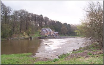 River
Tweed at Mertoun Mill
River
Tweed at Mertoun Mill |
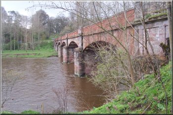 Mertoun
Bridge on the Tweed
Mertoun
Bridge on the Tweed |
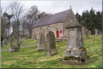 Maxton
Church
Maxton
Church |
From
Maxton we made our way across the fields to the route
of the Roman road to York called Dere Street. We followed
this dead straight route for about 5km until we were
opposite the village of Ancrum where we had booked our
B&B for the night. The B&B was about 1.5 km
off the route in the centre of the village.
Lady
Lillard's Stone - a monument to her bravery in battle
in 1545
|
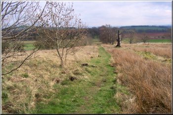
Dere
Street stretching away into the distance
After
a welcome bath at our B&B we went across the village
green to the pub for a meal which turned out to be more
entertaining than I had expected. There was a large
party of young women celebrating a 21st birthday. They
were all dressed in fishnet stockings, miniskirts and
nurse or police uniform tops. My wife kept me under
close supervision all evening.
|
 Dere
Street stretching away into the distance
Dere
Street stretching away into the distance
|
 Dere
Street stretching away into the distance
Dere
Street stretching away into the distance |