| 2001 walks | 2002
walks | 2003 walks | 2004
walks |
| 2005 walks | 2006
walks | 2007 walks | 2008
walks |
| 2009 walks | 2010
walks | 2011 walks | 2012 walks |
| 2013 walks | 2014 walks | 2015 walks | 2016 walks |
| 2017 walks | 2018 walks | 2019 walks |2020 walks |
| 2021 walks | 1993-2000 library | Find a Route Index |
| A few Routes to print out | Request a Route... |
Route No. 175 - Thursday
20 April 2006
Silton
Woods, Oak Dale, Hambleton Drove Road, Kepwick circuit - 15.7km
Cleveland Hills, North York Moors . . .
Maps: OS Explorer OL26 North York Moors Western area at 1:25000
Route
Map on 'Landranger' base from OS Open Space service
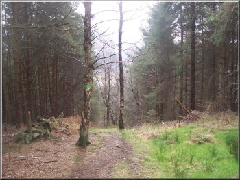
Track though Silton Woods
About 400m from the car park there is a well walked
broad path off the track to the left heading straight
up the hillside (this path is not shown on my map),
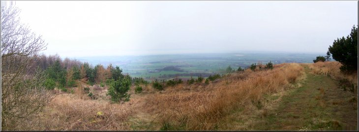
We turned on to this path and climbed straight up to
the top of the ridge at map ref. SE 460946. It was a
pleasant spring day but quite hazy in the distance.
The normal view across the the Yorkshire Dales was obscured
by a thick bank of cloud lying on the ground over to
the west.
|
This
morning my neighbour, Jim, and I drove to the Forestry
Commission car park in Silton Woods at map ref. SE 467937,
a few kilometers off the A19 north of Thirsk. It's not
far from home and we began walking at about 9.30am.
We took the forest track that crosses the stream next
to the car park and then follows the stream roughly
northwards.
Path up the hillside in Silton
Woods
|
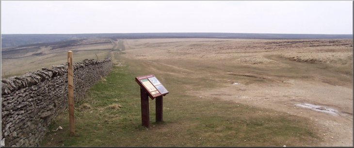
Looking west into the haze from the
ridge at the top of Silton Woods |
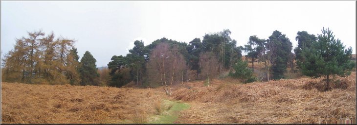
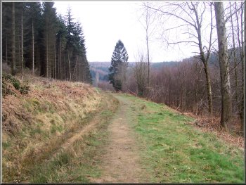
The path through the woods above
Thimbleby heading for Oak Dale
We were at a junction of five tracks (not all shown
on the map!). We continued straight on along a track
that headed steeply down hill for about 150m to meet
a public footpath running round the contour of the hill.
At the footpath we turned right to follow the path northwards
for about 1.5km to Oak Dale. There are two reservoirs
in Oak Dale and the path drops down a steep bank into
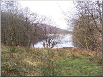
the dale between the two reservoirs at map ref. SE 468963.
The Cleveland Way passes down this dale and when we
reached it we turned right to floow the Cleveland Way
up the valley, passing the Upper Oakdale reservoir on
our right. It's quite a steep climb out of Oak Dale
to the car park at map ref. SE 479959.
|
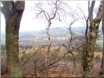
Looking towards Osmotherly from the
path above Oak Dale |
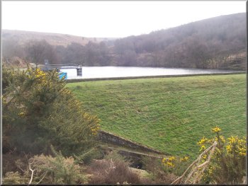
Upper
Oak Dale reservoir
|
Upper
Oak Dale reservoir |
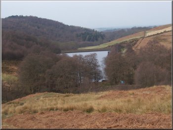
Upper
Oak Dale reservoir |
Just before we reached the road we sat on a large rock
to look at the view and have a drink and a sandwich.
It was very pleasant sitting in the quiet gazing into
the distance and we had quite a long break there! From
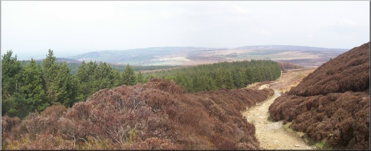
the car park we continued on the Cleveland Way, climbing
up the side of Black Hambleton and continuing round
the edge of the escarpment for about 3km to map ref.
SE 489914, where a narrow lane climbs up from Kepwick.
This part of the Cleveland Way is known as the Hambleton
Drove Road and is the old route taken by cattle drovers
taking animals south to feed the towns people. There
are the remains, just heaps of stones and bumps in the
ground, of an old drovers inn, called Limekiln House,
beside the track.
Cleveland Way climbing up the side
of Black Hambleton
|
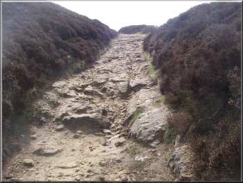
Cleveland Way climbing up the side
of Black Hambleton |
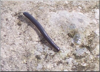
A millipede making its way over a
rock |
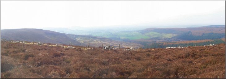
Hazy view from the Cleveland way
looking south west from Black Hambleton |
We sat on the bank at the start of the lane for another
break and to look at the view before we turned right
to walk down the tarmac lane for about 2km to Kepwick.
At the road junction in Kepwick, map ref. SE 470909,
we turned right and walked along the road for about
another kilometer to map ref. SE 465919. Here we turned
right off the road to follow a path across the fields.
|
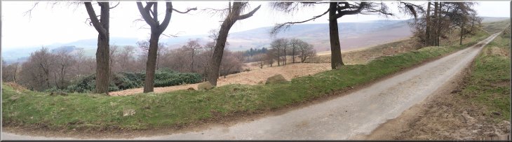
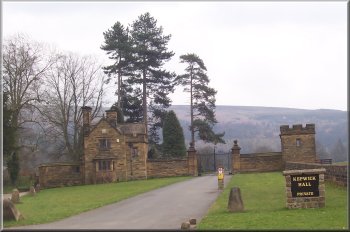
The lane from the drove road down
to Kepwick |
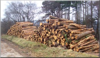
Above:
Timber stack on the lane to Kepwick
Right: Entrance to Kepwick Hall
|
|
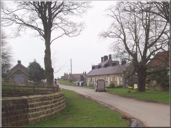
Kepwick village
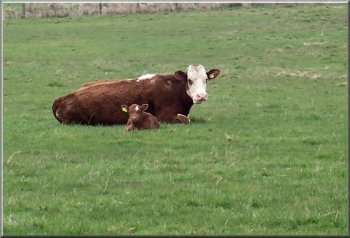
Some
of them were so young that they were still left culed
up in the long grass whilst the mother was away grazing.
The cows were not happy about our presence.
|
There
were some cattle in the field and it soon became clear
that there was a large herd of cows spread over several
interconnected fields and each cow had a very young
calf.
Cow and calf keeping an eye on
us
|
Cow and calf keeping an eye on
us
Fortunately there was a small pedestrian gate a few
metres along the fence which we moved to fairly quickly
and things calmed down again. However up ahead we still
had two more fields to cross with many more wary mothers
and calves.
|
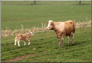
They
adopted that warning stance with their heads held up
high and ears pricked. As we reached the far side of
the first field a cow with its calf was approaching
the gate from the other side. It decided that we could
be dangerous and made a threat charge towards us.
Cow with calves keeping an eye
on us
|
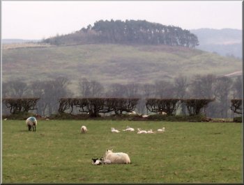
Spring lambs resting |
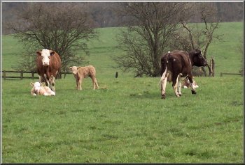
With
so many calves lying in the grass it was impossible to
tell if we were walking between a calf and its mother
and we were certainly getting a lot of attention. We climbed
the fence into the next field and crossed that to reach
a lane at map ref. SE 465925, about 150m from the path
we should have been on. It had been the most worrying
time I have had with cattle, much more dangerous than
the frisky beef stores that we often encounter. We walked
along the lane to rejoin the path and continue across
the fields (sheep and arrable this time) to the road at
map ref. SE 465933. At the road we turned right and walked
back to the car park where we had started. The whole route
had been just under 16km and had taken us five and a half
hours to walk including our two long stops and our encounter
with the maternal cows.
|