| 2001 walks | 2002
walks | 2003 walks | 2004
walks |
| 2005 walks | 2006
walks | 2007 walks | 2008
walks |
| 2009 walks | 2010
walks | 2011 walks | 2012 walks |
| 2013 walks | 2014 walks | 2015 walks | 2016 walks |
| 2017 walks | 2018 walks | 2019 walks |2020 walks |
| 2021 walks | 1993-2000 library | Find a Route Index |
| A few Routes to print out | Request a Route... |
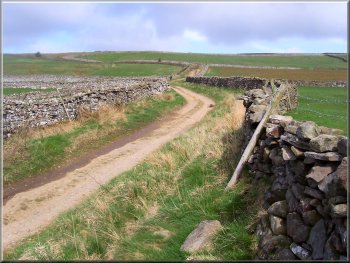
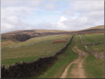
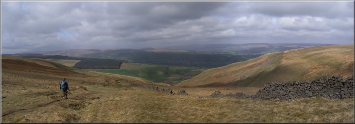
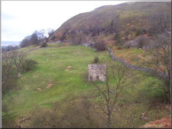
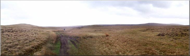
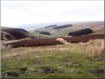
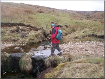
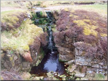
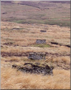
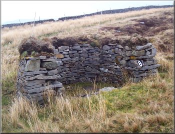
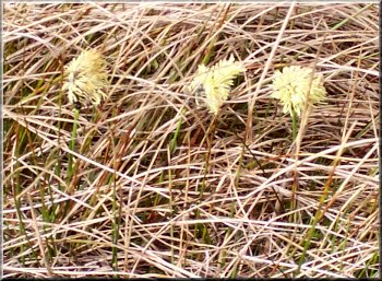
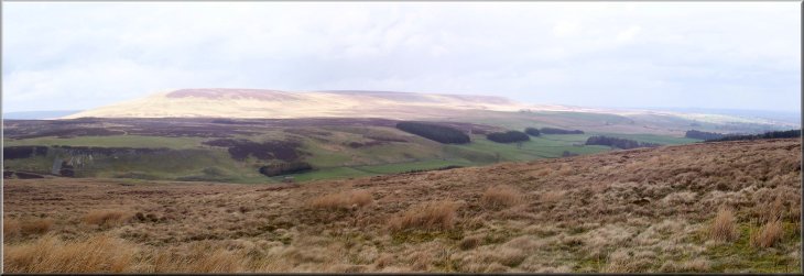
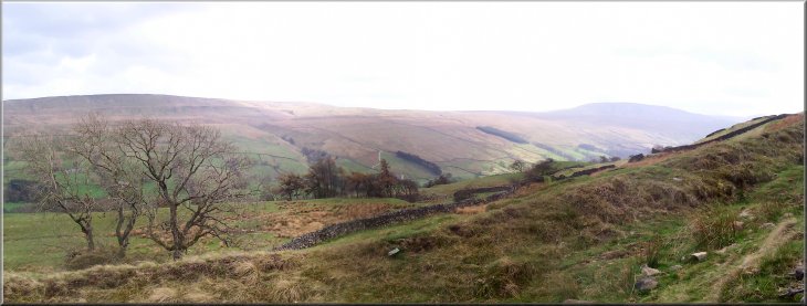
Route No 176 - Wednesday
26 April 2006
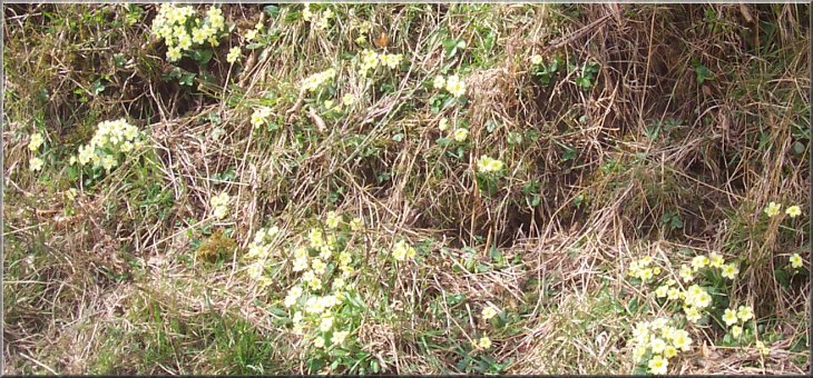
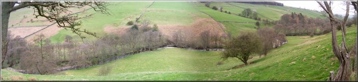
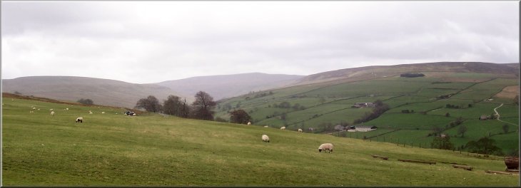
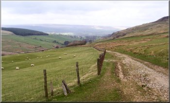
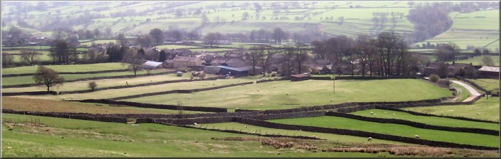
Carlton
in Coverdale, Waldendale
via Howden Lodge,
Horsehouse
via Fleensop Moor, return to Carlton
along the river
Cover - 16.5km
Wensleydale, Yorkshire Dales
Maps: OS Explorer OL Yorkshire Dales area at 1:25000Route Map on 'Landranger' base from OS Open Space service