| 2001 walks | 2002
walks | 2003 walks | 2004
walks |
| 2005 walks | 2006
walks | 2007 walks | 2008
walks |
| 2009 walks | 2010
walks | 2011 walks | 2012 walks |
| 2013 walks | 2014 walks | 2015 walks | 2016 walks |
| 2017 walks | 2018 walks | 2019 walks |2020 walks |
| 2021 walks | 1993-2000 library | Find a Route Index |
| A few Routes to print out | Request a Route... |
Route No. 221 - Saturday
7 July 2007
Forge Valley, Ayton Castle,
River Derwent circuit - 9km
North York Moors . . .
Map: OS
Explorer OL27 North York Moors Eastern area at 1:25000
Route
Map on 'Landranger' base
from OS Open Space service
Open this route in Google Earth
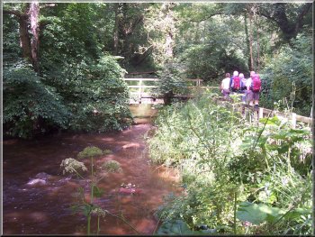
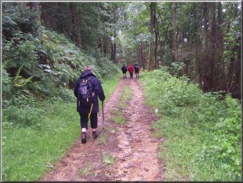
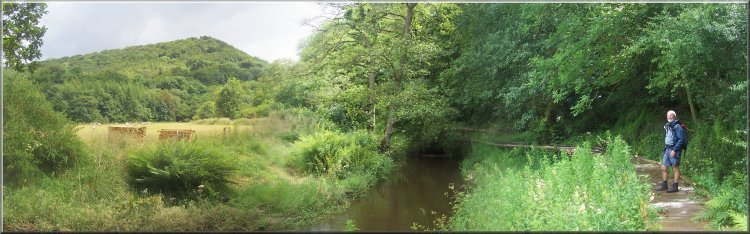
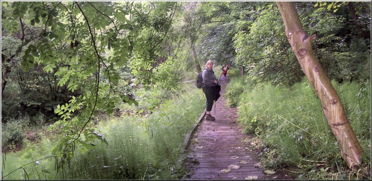
Leaving the car park by the river Derwent
From
the car park there is a footbridge over the River Derwent
to a boardwalk on the west side of the river. On the boardwalk
we headed downstream (south) beside the river for about
1.5km to the end of the boardwalk.
|
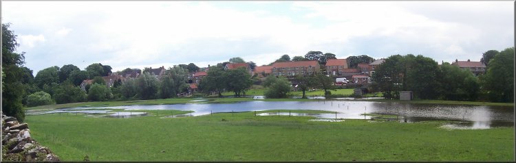
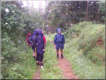
Today
we met some friends at 10.30am in the little car park
in Forge Valley north of East Ayton at map ref. SE 985870.
The weather forecast was a bit mixed but we were hoping
for the best.
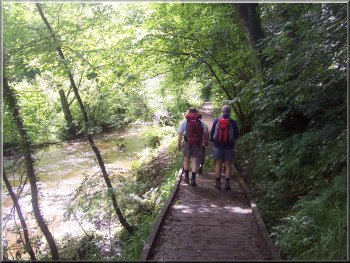
The boardwalk by the river Derwent
|
|

The boardwalk by the river Derwent |
|
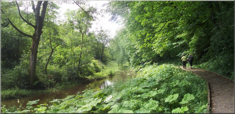
The boardwalk by the river Derwent |
The boardwalk by the river Derwent
There were punnets of black currants for sale by one of
the front doors and a few were purchased to give a summer
feel to this evening's meal.
|
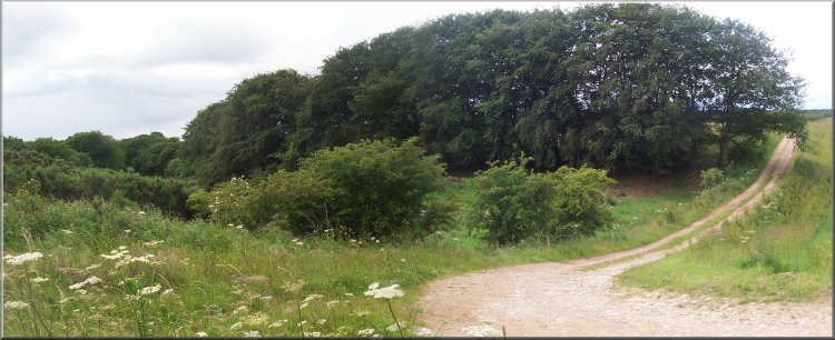
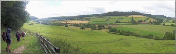
Beyond
the end of the boardwalk the fields were very wet and
flooded in a few places. We managed to pick our way through
and as the path turned towards West Ayton it climbed up
above the flooded fields on our left. On our right we
approached the ruins of Ayton Castle and just past the
castle the path came out on to an access road in front
of a row of cottages.
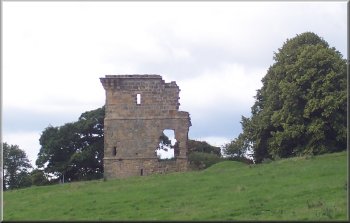
Ruins of Ayton Castle
|
Flooded fields by the river Derwent at East Ayton
|
Seat with a view on the edge of West Ayton
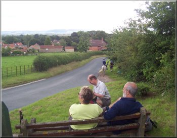
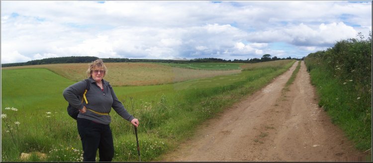
After
our break we walked along the lane to Low Yedmandale farm
and then on to High Yedmandale farm where there is a camping
and touring caravan site.
|
At
the end of the cottage access road we turned right and
walked up to the junction at map ref. SE 985850. There
is a seat with a view to the Yorkshire Wolds at the junction
and we sat there for a drink and a break.
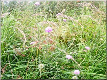
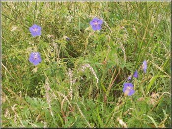
Scabious ( it's a false colour from the camera - much
more purple in reality)
|
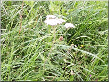
Yarrow
Here
we turned right and followed the track to the junction
at map ref. SE 978870. At the junction we turned left
to Spiker Hill farm and joined the public footpath at
map ref. SE 981871.
|
From
the camping site we followed the bridleway to a farm track
at map ref. SE 971877.
Cranesbill (wild geraniums)
|
|
Bend in the track at map ref. SE 969870 (looking west) |
|
Farm track beyond High Yedmandale farm |
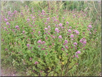
Wild matjoram by the path |
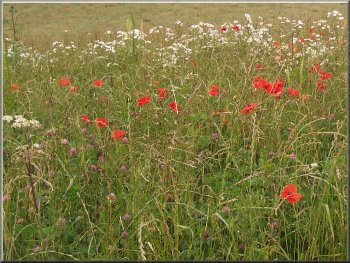
Poppies and daisies in a clover field |
|
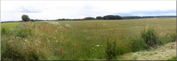
Wheat field still green |
|
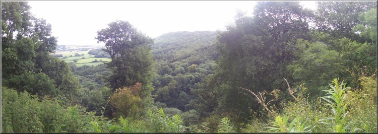
Looking towards the coast from the path above Scarwell Wood
|
Caught in a thundery downpour
I haven't seen such intense rain for a long time. We walked
along the top edge of the woods in the pouring rain and
then as suddenly as it had blow up the rain stopped and
the sun came out as we descended the bank to a field gate
at map ref. SE 977877.
|
So
far the weather had been quite kind to us with broken
cloud and patched of sunshine. Just after we joined the
public footpath at Spiker Hill farm a thundery downpour
suddenly blew up from nowhere. Even with our waterproofs
on we seemed to be soaked in the first minute.
Path down the hillside in Scarwell Wood
|
|
Looking up the river Derwent valley to Wrench Green |
|
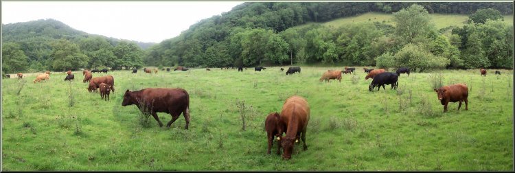
Herd of cows with young calves. The path goes through this
field but we managed to skirt round the edge.
(We have had three incidents in the last year with aggressive
cows protecting their calves) |
|
Start of the boardwalk by the river Derwent at the upstream
end |
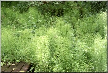
Horsetails - a primitive but very successful plant
We
decided to cut down the hillside across the sheep pasture
to the public footpath at the bottom. We followed the
path back to the start of the boardwalk at map ref. SE
982875.
|
By
this time I was feeling pretty tired (my health hasn't
improved, but I'm hoping that various treatments will
have had their effect by the end of September)
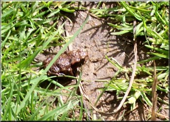
A young toad in the wet grass
|
A dilapidated section of the boardwalk
|
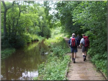
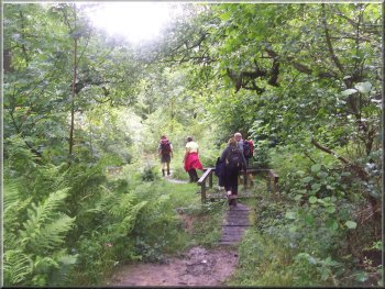
We
followed the boardwalk for the last 500m back to the car
park. We had walked less than 9km at a very slow pace.
Thanks to everyone who came for gearing the whole day
to my capabilities. Just as we reached the car park another
torrential downpour started and we all made a dash for
our cars and for several miles on the way to Pickering
the road was awash and the wipers at full speed were struggling
to clear the windscreen.
|
|
The boardwalk almost back at the car park - I'm lagging
even further behind! |