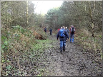
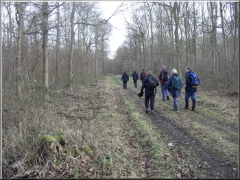
The muddy path from the Dutchman car park
I
had planned to do this walk with my wife and let the little
group we walk with each month do a proper walk in the
hills. They decided that we should all walk together and
we all met at 10.30 in the "Dutchman" car park
in Bishop Wood at map ref. SE 560332.
|
This
is my first walk of 2008 and I'm still limited to short
flat routes, but there's a chance of some minor key-hole
surgery on my heart in a couple of months, so things may
start to improve.
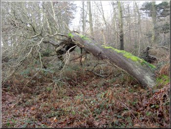
A fallen tree left to rot enriching the
whole habitat
|
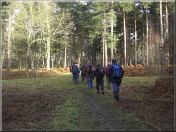
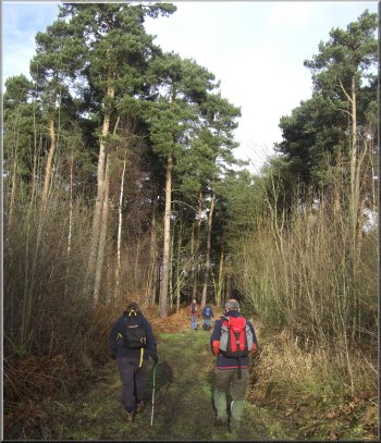
Making our way to the edge of Bishop Wood
The
path soon turned round to head northeast and we continued
in this direction crossing a broad forest track at right
angles, until we reached the edge of the wood at around
map ref. SE563337.
|
The
woodland is owned by the Forestry Commission and is managed
for public access (see
their web site). We set off on a muddy path from the
car park heading east.
Making our way to the edge of Bishop Wood
|
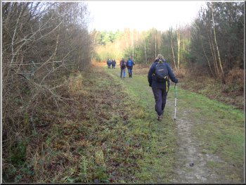
We
followed a well walked path around the edge of the wood
for almost 2km to map ref. SE 554350 at the junction with
a wide forest track. There was a heap of logs there so
we chose one each to sit on for our lunch break. After
our break we continued around the edge of the wood to
map ref. SE 551345 on one of the Forestry Commission's
access roads into the wood.
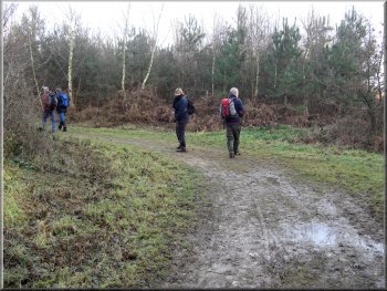
A pleasant stroll around the edge of Bishop
wood
|
A pleasant stroll around the edge of Bishop
wood
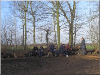
Our lunch break on a handy heap of logs
|
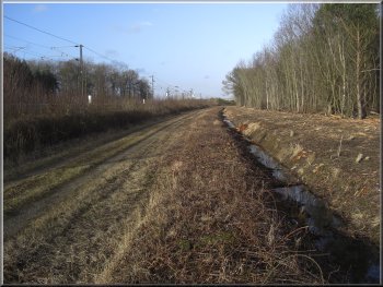
A cleared strip of land beside the railway
at the edge of Bishop Wood
I must admit that I had not looked at the map since we
set off so it was my own fault for trying to be too clever.
We walked along the grass verge of the road for about
250m to map ref. SE 554334, where we should have met the
road. We crossed the road and walked along the track opposite
to map ref. SE 553332. Here we turned right to follow
the track to the railway at map ref. SE 549331.
|
We
walked along this access road for about 450m to map ref.
SE 554342. Here we turned left off the acess road onto
a footpath through the trees (this was a mistake - we
should have continued for another 150m and then turned
left along a path which would have brought us out to a
road at map ref. SE 554334). We continued along this path
to a woodland track and then along the track to a road
at map ref. 552334. We had clearly met the road at the
wrong place because there was no track opposite to go
down.
Bishop Wood near the railway
|
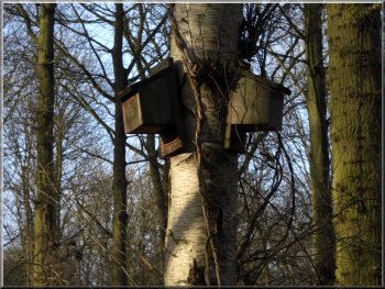
Two of many bat boxes in Bishop Wood
I
was in no condition to run 3 or 400m back to get my photo.
We followed a path out to the edge of the wood and continued
along the path back to the road opposite the car par where
we had started. The whole route had been about 7.5km and
at my leisurely pace it had taken us almost 3 hours.
|
We followed the path beside the railway for about 600m
to map ref. SE 551326. I was hoping for a good photo of
a train but none came. We walked along the track away
from the railway to map ref. SE 556325 and when the railway
was well out of sight we heard the sound of trains approaching
in both directions.
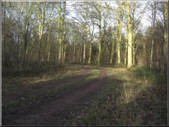
Path leading back to the Dutchman car park
|