|
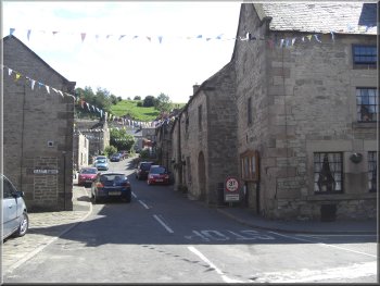
Winster village street leading up towards the Limestone
Way
We
arrived on Friday afternoon to find that there was a Morris
dancing festival in progress in the village.
|
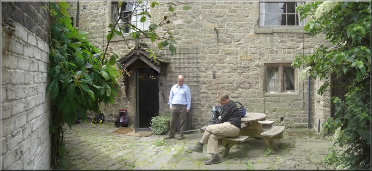
We
are spending this weekend with a group of friends in a
holiday cottage in Winster near Matlock in Derbyshire.
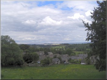
Looking back over Winster from the path near Luntor Rocks
|
|
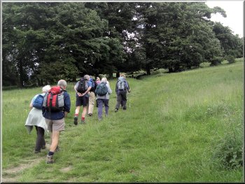
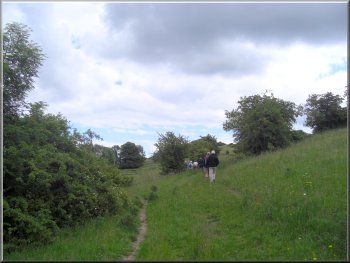
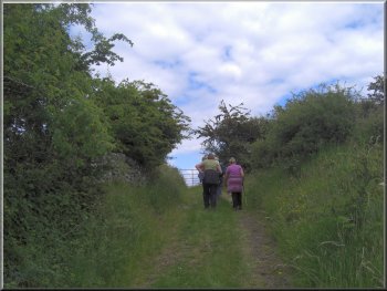
Climbing up from Winster to the Limestone Way
When
they arrived we set off to climb out of the village up
the street past the pub and along a footpath to Luntor
Rocks.
|
Today
we are planning a short walk from Winster and then a meal
at the village pub to round off the day. Some friends
who live in Buxton joined us today.
Climbing up from Winster to the Limestone Way
|
|
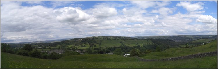
Looking north from the Limestone Way east of Winster
|
|
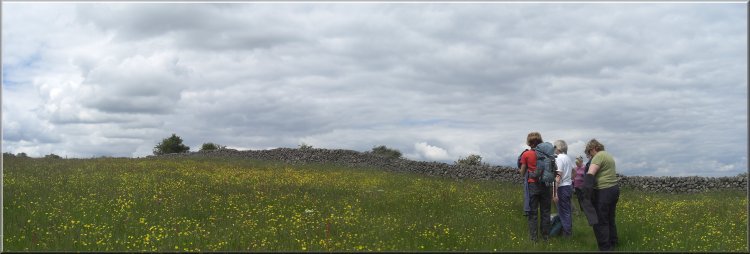
Trying to identify some of the flowers in this hay meadow
|
|
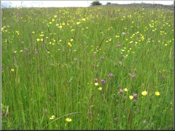
Hay meadow full of wild flowers
At
the road we turned left to leave the Limestone way and
follow the road for about 300m. almost to Brightgate.
|
From
there we continued up to the Limestone Way which we joined
a few hundred metres to the east of Winster.Just over
a kilometer beyond Luntor Rocks we came to a minor road.
On the path from Brightgate to Wensley
|
|
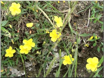
Rock rose
|
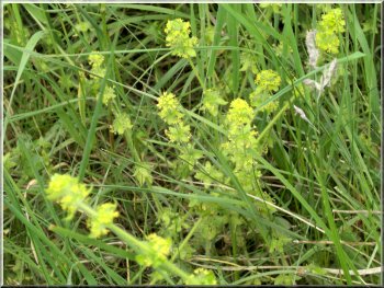
Yellow Rattle
|
|
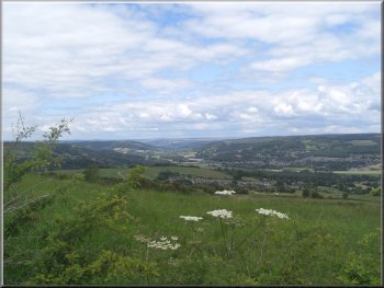
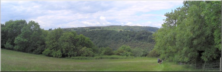
Looking up the Derwent valley from the path above Wensley
In
the little valley just south of Wensley we turned left
for about 100m and then climbed up to the road at the
western end of the village.
|
Here
we turned left to follow a footpath down a farm road to
Tearsall Farm. We continued along the path beyond Tearsall
farm heading down the hillside towards Wensley.
Approaching Wensley village from Brightgate
|
|
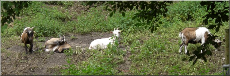
Goats on the edge of Wensley village
|
|
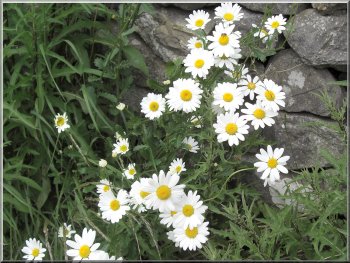
Ox-eye Dasies
|

Helicopter low overhead near Wensley
|
|
Dropping down into the wooded valley north of Wensley
|
|
Leadwort - only found where there is a high lead content
in the soil
|
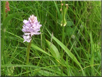
Wild orchid
|
|
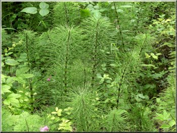
Horses Tails - very primitive but successful plant from
the Jurassic period
|
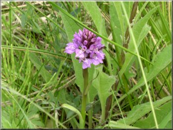
Wild orchid
|
|
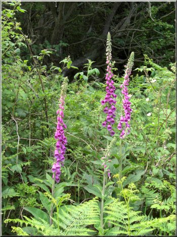
Foxgloves
We
continued down the wooded hillside to a stream in the
bottom of a little valley at map ref. SK257616. We crossed
the stream and walked along the path through the woods
following the stream upstream towards Winster.
|
We
crossed the road to follow the footpath opposite and had
to use a short diversion which the notice said was around
a collapsed mine shaft.
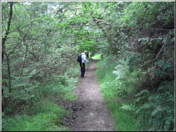
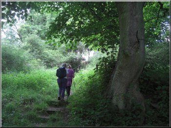
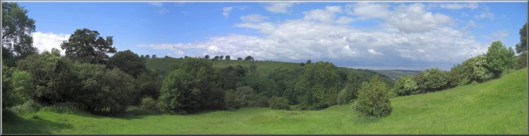
Heading southeast towards Winster along a wooded valley
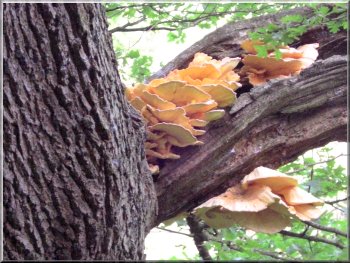
Chicken-of-the-Woods
fungus on an oak tree
|
|
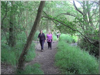
Heading southeast
towards Winster along a wooded valley
When
we reached the road at the eastern end of Winster we turned
left to walk into the village and back to our holiday
cottage.
|
After
about 1km we emerged from the woods into some pasture
land and began to climb out of the valley.
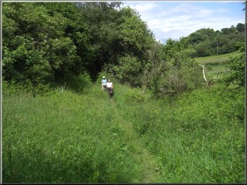
Heading southeast towards Winster along a wooded valley
|
|
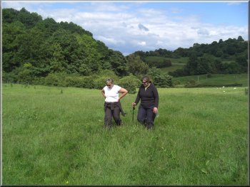
Starting to climb out of the valley up to Winster
Now
we had a good pub meal to look forward to at the end of
another very pleasant day.
|
The
walk had been about 6.5km and had taken us almost four
hours including our stops for a drink and to look at the
wild flowers and lovely views.
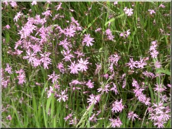
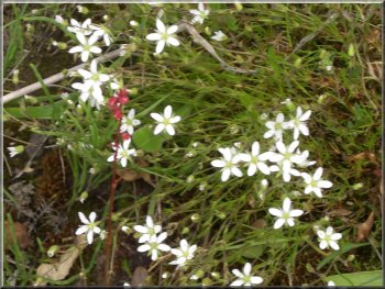
Ragged-Robin in a permanent damp patch in the meadow
|
|
Starting to climb out of the valley up to Winster
|
|
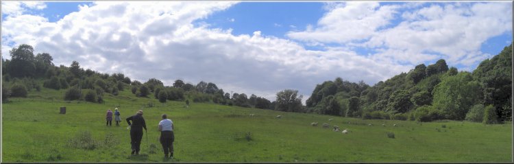
Looking back towards the Derwent valley from the road at
the edge of Winster
|