| 2001 walks | 2002
walks | 2003 walks | 2004
walks |
| 2005 walks | 2006
walks | 2007 walks | 2008
walks |
| 2009 walks | 2010
walks | 2011 walks | 2012 walks |
| 2013 walks | 2014 walks | 2015 walks | 2016 walks |
| 2017 walks | 2018 walks | 2019 walks |2020 walks |
| 2021 walks | 1993-2000 library | Find a Route Index |
| A few Routes to print out | Request a Route... |
Route No. 254 - Wednesday
25 June 2008
Market Weighton, Wolds Way,
Sancton, Houghton Hall circuit - 14km
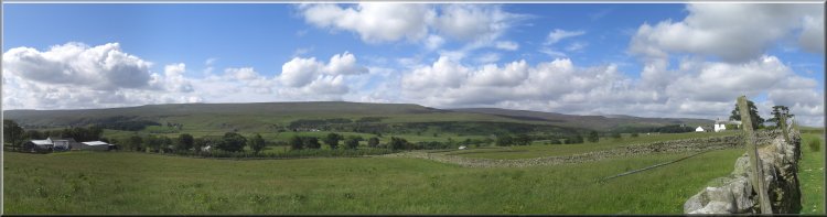
Yorkshire Wolds . . .
Map: OS
Explorer 294 Market Weighton & Yorkshire Wolds Central;
OS Explorer 291 Goole & Gilberdyke;
OS Explorer 293 Kingston upon Hull & Beverley all at 1:25000
(this
route is a real pain to navigate as it laps onto the corner join
of all these three maps)
Route
Map on 'Landranger' base map from OS Open Space service
Open this route in Google
Earth
|
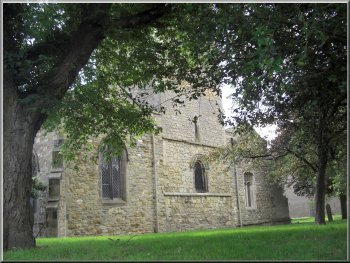
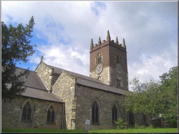
The church in Market Weighton
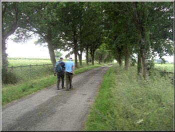
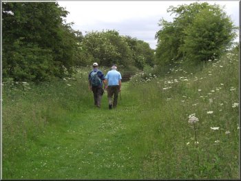
We
started our walk just after 10.00am and followed the Wolds
Way route out of Market Weighton via the track along a
disused railway.
|
This
morning three of us drove to Market Weighton on the edge
of the Yorkshire Wolds and parked on a street near the
church.
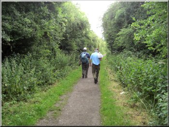
Setting out along the old railway track from Market Weighton
|
|
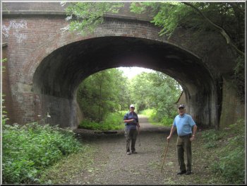
Following the old railway track from Market Weighton
|
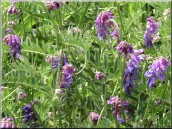
Purple vetch by the old railway track
|
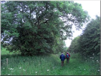
The Wolds Way leaving the old railway to climb up on to
the wolds
However
we turned right to follow the Wolds Way climbing up onto
the edge of the Yorkshire Wolds and across the fields
to a farm called Arras.
|
After
about 2km we came to a minor road at map ref. SE899426.
To the left the road leads up to the village of Goodmanham.
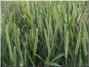
Ears of wheat
in the field by the path
|
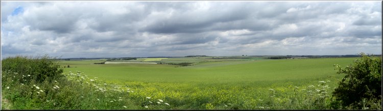
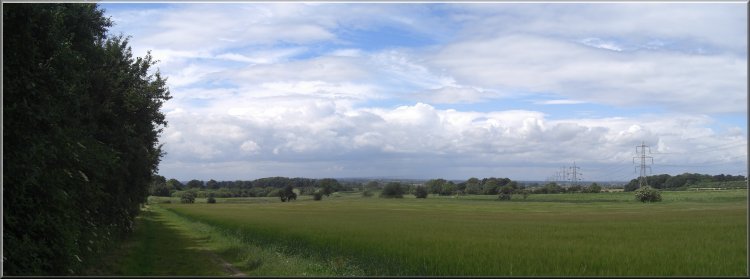
View from the Wolds Way between Market Weighton & Sancton
|
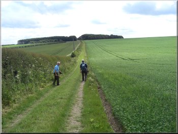
The Wolds Way between Market Weighton & Sancton
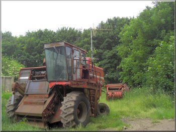
Old
combined harvester serving as a TV aerial stand
|
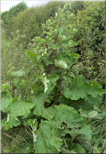
Burdock (or sticky buds as we called it as children) by
the path |
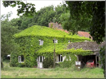
Ivy covered farm house at Arras |
The Wolds Way on the farm access road from Arras to the
A1079 |
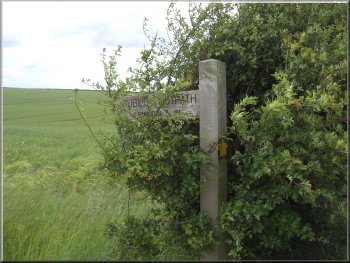
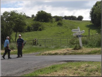
Finger post to Sancton
We
followed a track called Dale Road on the map, which leads
down to the village of Sancton. At the turn the finger
post is hidden in the hedge and is not visible until you
have already made the turn.
|
We
walked along the farm access road to cross the A1079 and
continue on a minor road for about 200m to map ref. SE926410.
Here we turned right off the road and left the Wolds Way.
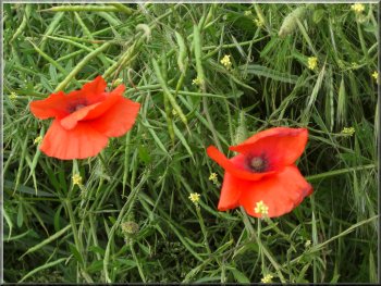
Poppies amongst the oil seed rape pods
|
|
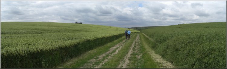
Track heading towards Sancton between fields of barley and
oil seed rape |
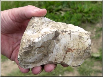
An example of
the flinty chalk of the Yorkshire Wolds |
Track called "Dale
Road" from the Wolds Way to Sancton |
Track called "Dale Road" from the Wolds Way to Sancton
Not
long after we stopped the first light shower began but
did not disrupt our break. As it turned out this was the
only shower we had all day and the patches of blue sky
and warm sunny spells returned. We continued down the
little valley to the village of Sancton and at the A1034
we turned right to walk up the hill past the church for
300m to map ref. SE898397.
|
So
far the weather had been very pleasant with warm sunny
spells and a light breeze, but the cloud was building
(as forecast) and we decided to stop for an early lunch
before the showers arrived. We sat in a gateway decorated
with poppies and cow parsley.
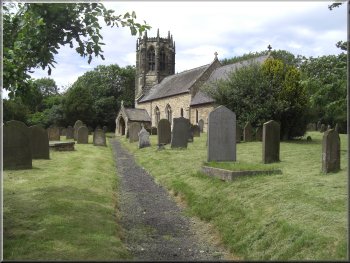
The church at Sancton
|
Track from Sancton towards Houghton Hall |
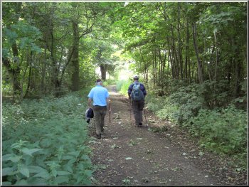
Path through the woods approaching Houghton Hall
Just through the wood the public footpath turned left
and after 200m turned right to go around the edge of the
parkland at Houghton Hall.
|
Here
we turned left to follow a track down the side of the
fields for about 700m to a small wood.
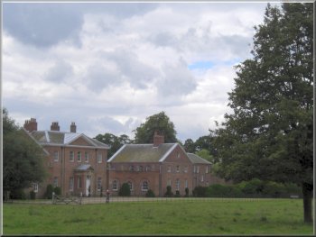
Houghton Hall
|
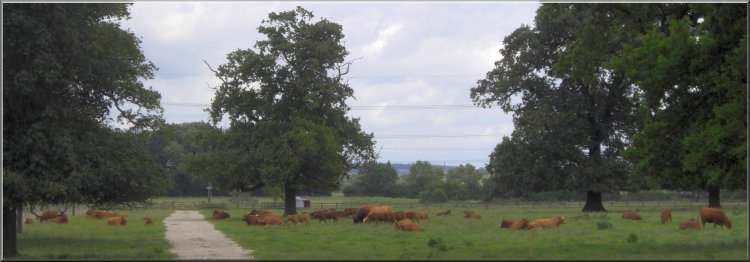
Herd of Limousin
cattle at Houghton Hall
|
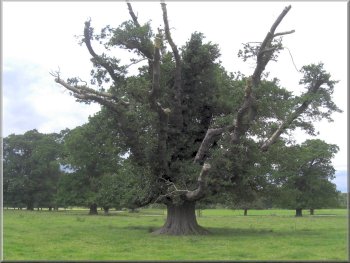
An ancient oak tree at Houghton Hall
The
path turned right here and we followed it down the side
of the polo field to a small wood.
|
We
continued along the public footpath past the hall to map
ref. SE883392 at the corner of the polo field of the "Vale
of York Polo Club".
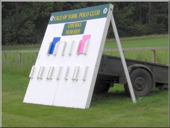
Score board at the polo field
|
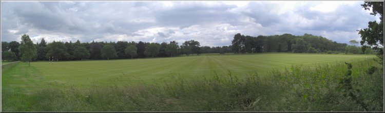
The immaculate expanse of the rolled, close cut polo field
at Houghton Hall |
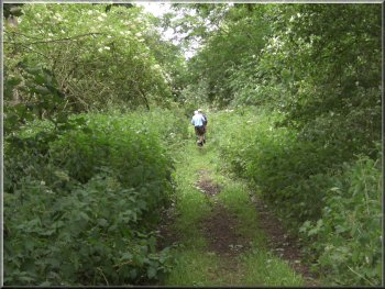
Path through a wood to Market Weighton from the polo field
Here
we joined a minor road leading to the Market Weighton
by-pass.
|
The
path continued through the wood and beyond the wood we
followed the path across the fields to Crossfield House.
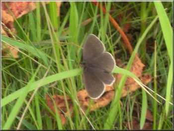
Chocolate brown butterfly with white edging on its wings, a 'Ringlet'
|
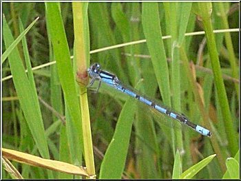
Blue Damsel Fly on the grass by the path |
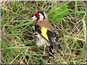
Dead goldfinch by the road side |
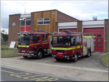
Market Weighton Fire Station
The
whole route had been about 14km and had taken us about
four and a half hours to walk including our lunch stop.
On the way home we stopped at a large garden centre (one
of our regular haunts) for a coffee and a bacon roll to
complete the day.
|
We
walked along the minor road, not too much traffic but
travelling very fast. We crossed the by-pass to a housing
estate road on the edge of Market Weighton and walked
back through the town past the fire station to the church
where we had parked.
Back
at Market Weighton Church
|