| 2001 walks | 2002
walks | 2003 walks | 2004
walks |
| 2005 walks | 2006
walks | 2007 walks | 2008
walks |
| 2009 walks | 2010
walks | 2011 walks | 2012 walks |
| 2013 walks | 2014 walks | 2015 walks | 2016 walks |
| 2017 walks | 2018 walks | 2019 walks |2020 walks |
| 2021 walks | 1993-2000 library | Find a Route Index |
| A few Routes to print out | Request a Route... |
Route No 264 - Wednesday 3 September 2008
White Horse Bank, Sutton Bank, Hambleton Inn, Oldstead Road circuit - 9km
Hambleton Hills, North York Moors. . .
Ordnance Survey route map on the Landranger series map base
View the route in Google Earth
Map: Ordnance Survey Explorer OL26 North York Moors Western area
|
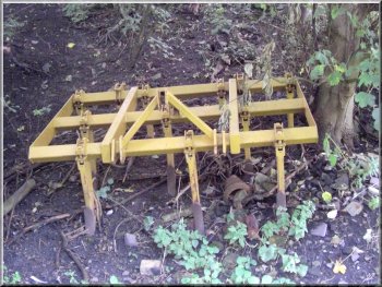
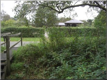
A harrow parked under the trees
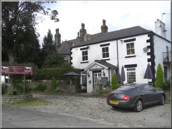
My neighbour,Jim, and I drove just a few miles to a tiny car park at the
bottom of White Horse Bank near Kilburn (map ref. SE514806)
|
As usual the weather forecast was dire - more rain for as far ahead
as they were prepared to forecast. But there was a short break in the
rain with broken cloud this morning.
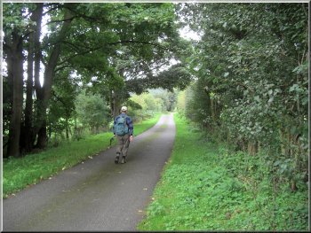
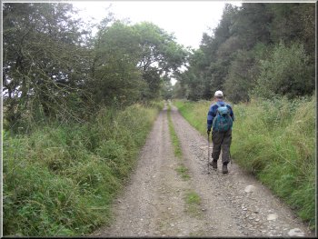
Setting out along the access road towards Acre House
|
|
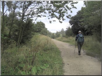
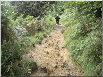
Path through the woods below Roulston Scar
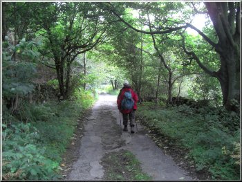
We followed the bridleway that runs along the farm road. Beyond the turn to Acre House farm the road became a track and after a few hundred metres it became a path through the woods
|
From
the car park we turned right back down the hill, the way
we had come. After about 20m we turned right off the road
on to a tarmac farm access road.
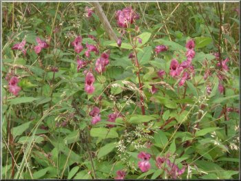
Japanese water balsam by the path
|
|
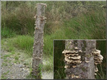
Crinkly edged bracket fungus (possibly plicatua crispa)
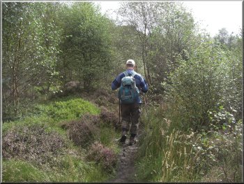
At map ref. SE507813 where we turned right to follow the bridleway on a narrow path up the hillside through the trees.
|
At map ref. SE508811 the path joined a forest track with a stoney surface but we only had to walk on this for about 200m.
Path climbing up to Roulston Scar
|
|
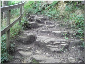
Path climbing up to Roulston Scar
Then we turned left to follow a path that climbed steeply up
the last part of the climb to the path on Roulston Scar
around the glider airfield. The route climbs 180m from
the car park to the path on Roulston Scar.
|
After climbing along this path for about 600m we reached another
forest track at map ref. SE512817. At the track we turned
right to walk along the track for just a few metres.
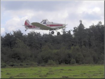
Tow plane landing at Sutton Bank glider field
|
|
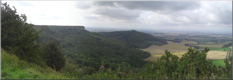
Looking back south west to Roulston Scar
|
|
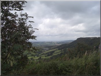
Looking north to Whitestone Cliff
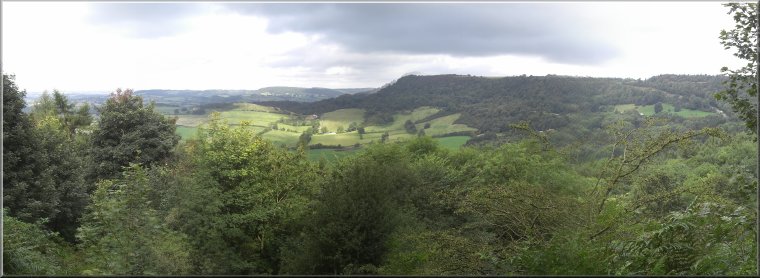
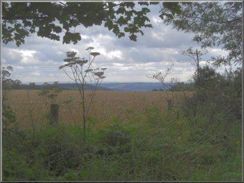
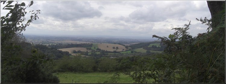
All the way there is an amazing view out across the Vale
of Mowbray to the hills of the Yorkshire dales but these
were hidden in the mist and low cloud today.
|
We walked along the path around the edge of the escarpment
for about 1.5km to the visitor centre at Sutton Bank.
Footbridge over Cleave Dike east of Sutton Bank visitor centre
|
|
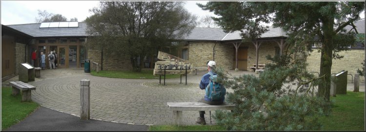
Sutton Bank Visitor Centre
|
|
Path from Sutton Bank to Hambleton House
At the road we turned right to walk along the lane to the
Hambleton Inn. On the way we met a long string of race
horses heading towards Hambleton House. One or two were
a bit skitish and we kept well into the side as they went
by.
|
We stopped at the visitor centre for a coffee, just behind a coach load
of ladies from Driffield who were out on a mystery tour. We eventually
got our coffee and continued on our way. We took a path from the visitor
centre car park at map ref.SE516830 and followed it through the woodland
for about 1km to emerge onto a lane at map ref. SE523833 near Hambleton
House.
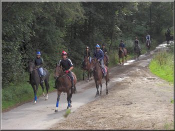
String of race horses on their morning exercise
|
|
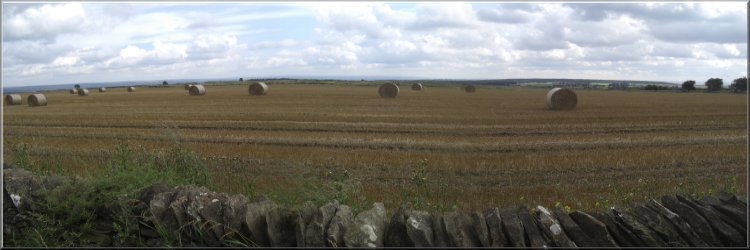
After the harvest (I took this same shot last time I walked here)
|
|
The Hambleton Inn
After
about 700m the road turned south west and continued straight
on along an even narrower lane.
|
About 200m along the A170 from the Hambleton Inn we turned left
at map ref. SE521829 to walk along a narrow road heading
south (it's actually the top of the road up White Horse
Bank).
The lane heading down towards Oldstead
|
|
Looking south east from the track down towards Oldstead
|
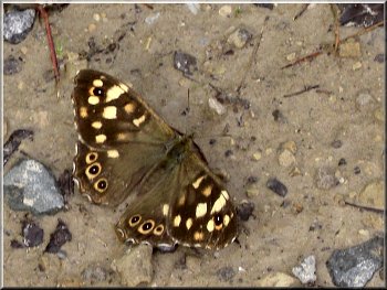
A female Speckled Wood butterfly (the males are more orangey)
|
|
Looking north east from the track down towards Oldstead
|
|
The lane heading down towards Oldstead
The whole route had been 9km and had taken us just over three
hours to walk including our stops. We arrived back home
just after 1.00pm and by half-past one the persistent
rain had returned.
|
We walked along this lane for around 2km down the hill until
we met the Kilburn to Oldstead road at map ref. SE522804.
Here we turned right to follow the road back to White
Horse Bank and our starting point.
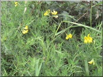
Common toad flax in the hedgerow
|
|
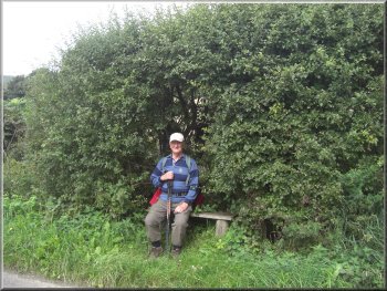
Seat in a hedgerow bower by the road side
|
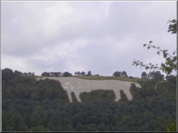
The White Horse near Kilburn
|