| 2001 walks | 2002
walks | 2003 walks | 2004
walks |
| 2005 walks | 2006
walks | 2007 walks | 2008
walks |
| 2009 walks | 2010
walks | 2011 walks | 2012 walks |
| 2013 walks | 2014 walks | 2015 walks | 2016 walks |
| 2017 walks | 2018 walks | 2019 walks |2020 walks |
| 2021 walks | 1993-2000 library | Find a Route Index |
| A few Routes to print out | Request a Route... |
Route No. 275 - Wednesday 26 November 2008
Eller beck, Northdale Scar, Wardle Green,
Simon Howe, Two Howes, Goathland circuit 14km
North York Moors. . .
Ordnance Survey route map on
the Landranger series map base.
View the route in Google Earth
Map: Ordnance Survey Explorer OL27 North York Moors Eastern area at 1:25000
|
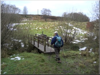
Footbridge over the stream in Fen Bog nature reserve
We set off at about 10.15am heading west along the route of the Lyke
Wake Walk towards Simon Howe. The track led us across Fen Bog Nature
Reserve and the North York Moors steam railway, but there were no trains
running today.
|
The weather forecast for today was good, fine dry and bright. My neighbour,
Jim and I drove to Eller Beck on the A169 Pickering to Whitby road at
map ref. SE856982. There is a track there to the west of the main road
with plenty of room to park.
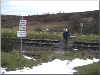
Crossing The North York Moors Railway
|
|
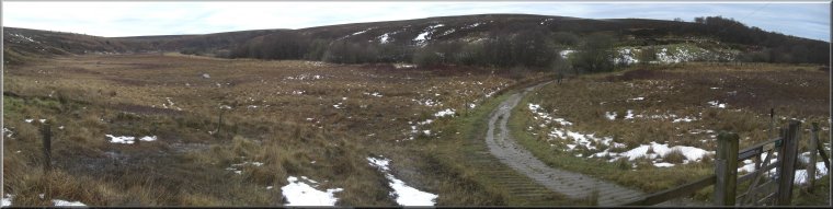
Following the Lyke Wake Walk route towards Simon Howe
We followed the quad bike track across the heather for about 500m to
the edge of Newtondale at a line of cliffs called Northdale Scar. The
quad bike track seems to be used by a shepherd to bring winter feed
to his sheep. The track leads to two old trailers used as storage sheds.
|
The whole moor here is open access land and we continued along the
Lyke Wake Walk route for about a kilometre to map ref. SE843980. At
this point, about 150m past a large and a small cairn by the path; there
is a feint quad bike track heading roughly Southeast.
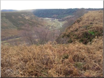
Newtondale from the path above Northdale Scar
|
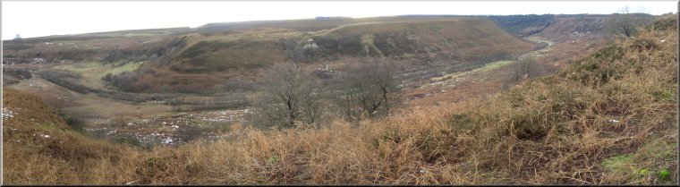
Newtondale from the path above Northdale Scar |
| Just beyond the trailers we came to a well worn path around
the top of the Northdale Scar cliffs with good views down Newtondale.
The North York Moors steam railway runs along the bottom of the valley.
We walked along the top of the cliffs for about 1.5km to the northern
edge of Cropton Forest at map ref. SE835964. Here we turned west to follow
a track along the edge of the moor next to the fence on the forest boundary.
We walked along this very muddy track for about 350m to map ref. SE831963.
Here there is a gate from the moor to a forest access track and a new
but rather wobbly stile. |
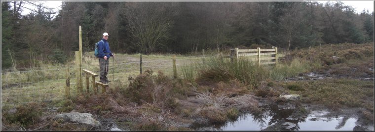
Stile from the moor into Cropton Forest at map ref. SE831963 |
|
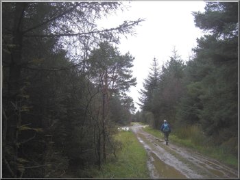
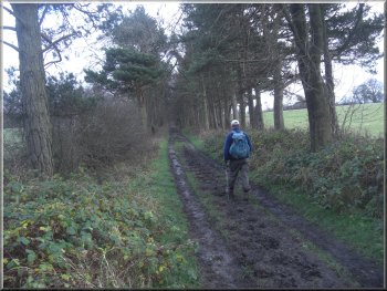
Track in Cropton Forest near Wardle Green
There is a stile here on the right to a path across a field to the
ruined farm at Wardle Green. Wardle Green is quite a pleasant spot and
we sat on a grassy bank here by the stream for an early lunch.
|
We crossed the stile and followed the forest track for about 150m where
we turned right and continued on another forest track for about 800m
to a gate across the track.
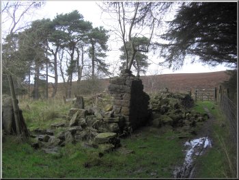
The ruined farm at Wardle Green
|
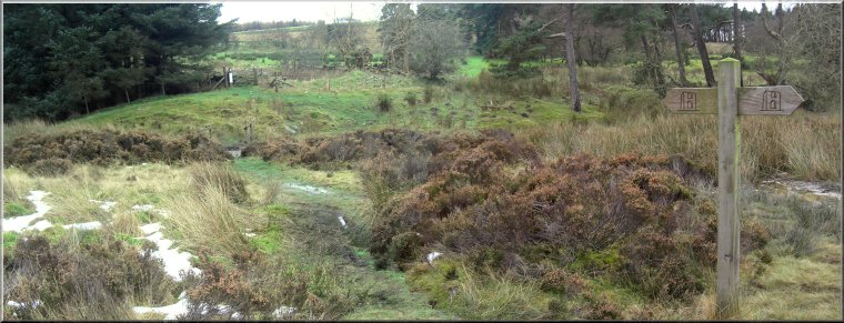
Looking back to Wardle Green from the start of the path over the moor
to Simon Howe |
|
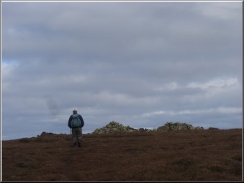
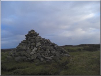
Cairns on Simon Howe
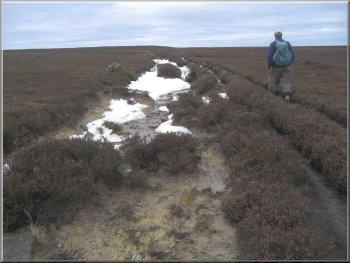
Just over 2km away to the north at map ref. SE830980, we reached Simon
Howe. The path was cut into slippery muddy ruts and it was very difficult
to walk and stay upright.
|
After our lunch we crossed the little wooden footbridge over the stream
(Blawarth Beck) and followed the path over the moor.
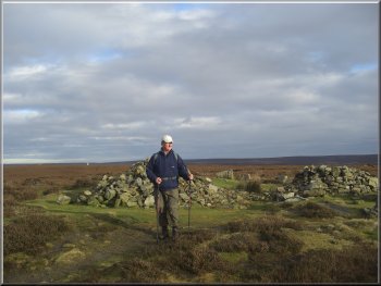
Cairns on Simon Howe
|
Cairn on Simon Howe |
|
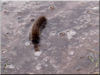
Large hairy caterpillar crossing the wet path on a cool November day
The path to Two Howes was just as muddy and slippery and quite tiring.
From Two Howes we followed the path down the hillside past a duck shooting
pond to the edge of Goathland.
|
From Simon Howe we continued along the ridge to Two Howes. They are
about 150m apart and they both have a stone cairn on top.
Cairn on one of the Two Howes
|
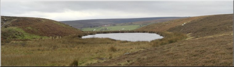
Duck shooting pond on the moor above Goathland |
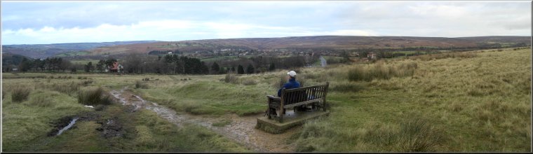
Seat with a good view over Goathland |
|
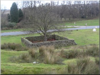
Memorial tree on the edge of Goathland
Just beyond the church we turned right to follow a path across the
fields to a disused railway at map ref. SE838005.
|
As we approached the village there was a seat with a nice view where
we sat for a coffee before continuing down the hill to the church in
Goathland.
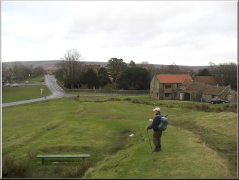
Approaching the church in Goathland
|
|
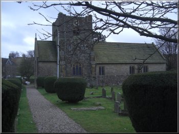
The church in Goathland
|
Path along a disused railway from Goathland |
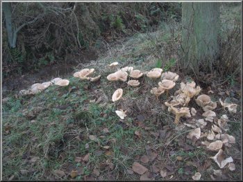
Chanterelle mushrooms - . . . |
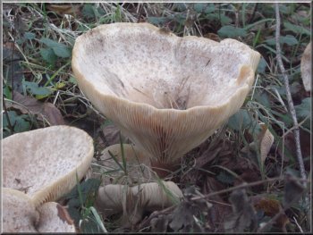
. . . this a large pale cloured variety that grows in deciduous woods
|
|
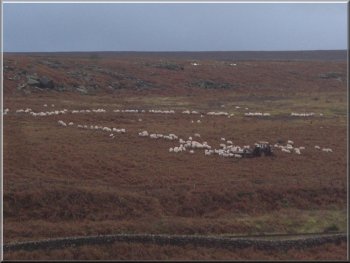
Sheep being fed on the open moor near Goathland
We turned right at the junction to walk about 350m down the main road
back to the car at Eller Beck. The whole route had been about 14km and
had taken us 5 hours to walk including our stops.
|
The old railway is now a footpath and we turned right on to the railway
to follow it out to the road at map ref. SE844994. At the road we turned
left and walked along the road for about 1.5km to the junction with
the A169 at map ref. SE855986.
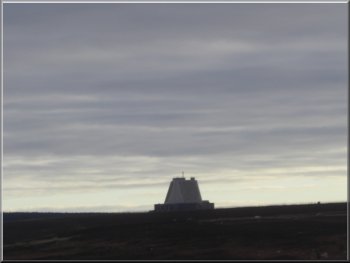
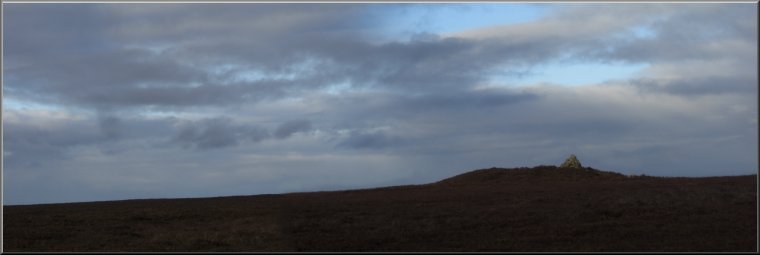
Fylingdales in the dusk as we finished our walk
|