|
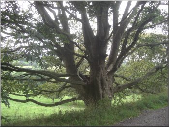
Large sycamore tree at our parking spot near Boltby
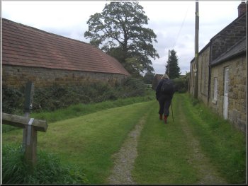
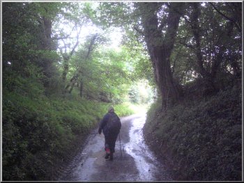
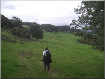
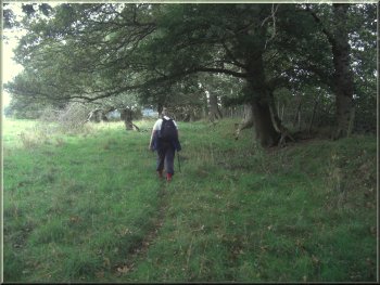
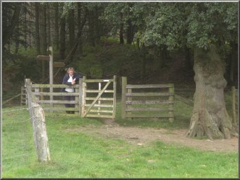
We started walking at about 9.30am back into the village. Where the
village street crosses Gurtof Beck there is a little stone footbridge
over the beck and we turned left there to follow a footpath between
the houses and out across the fields alongside Gurtof Beck.
|
The weather forecast today was for a grey overcast day but no rain.
This morning my wife and I drove to Boltby, a village on the western
edge of the North York Moors about 7km from the centre of Thirsk. We
parked off the road on a little gravel area on a bend in the road at
the eastern end of Boltby at map ref. SE494865.
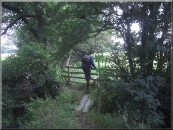
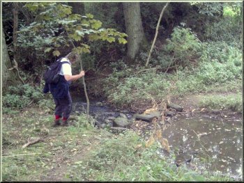
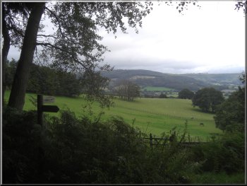
Start of the path out of Boltby at Gurtof Beck
|
Looking back to Boltby from the path by Gurtof Beck |
|
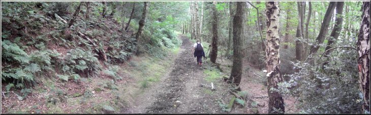
Path from Boltby by Gurtof Beck
This was the left-hand fork in the path to Tang Hall at map ref. SE495850.
|
After almost a kilometer we crossed a footbridge over the beck.
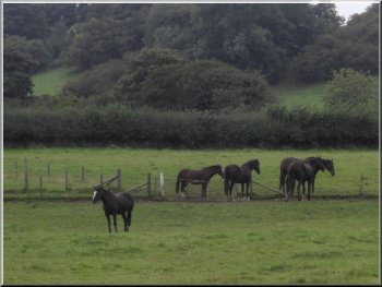
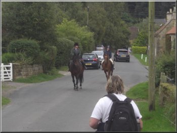
Horses by the path from Boltby
|
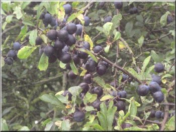
Blackthorn bushes laden with sloes |
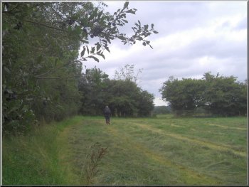
Path across the fields by Gurtof Beck |
|
The lane at Tang Hall
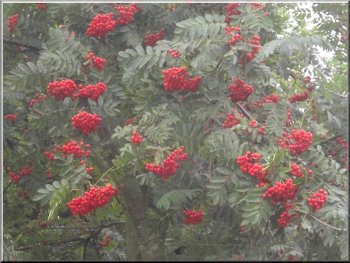
Mountain Ash full of berries
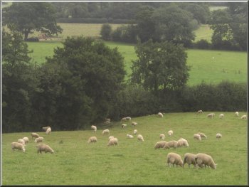
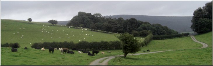
Sheep grazing by the farm road towards Felixkirk
At this bend in the road at map ref. SE489850 we left the road to
continued straight on along a farm access road for about 1.5km to a
road near Felixkirk.
|
At the lane at Tang Hall we turned right and walked along the lane
for about 500m to a road where we continued along the road for another
250m to a bend.
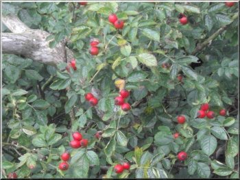
Rose hips in the hedgerow
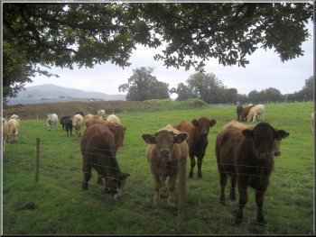
Beef cattle coming to check us out
The farm road towards Felixkirk
|
Looking back along the farm road towards Tang Hall |
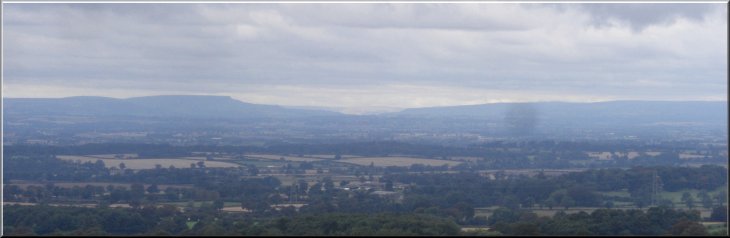
The view across to the mouth of Wensleydale with Pen Hill on the left |
|
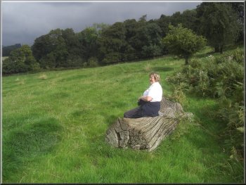
Crossing the fields towards Felixkirk
There was an old log on the hillside which we used for a very comfortable
seat for a break with an amazing view across to the mouth of Wensleydale
in the far distance. After our break we followed the path out to the
road at map ref. SE469850.
|
At the road we turned right and walked along the road for about 300m.
Here we turned left off the road onto a path across the fields below
the road heading into Felixkirk.
Our break on a comfy log near Felixkirk
|
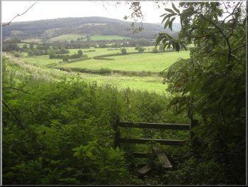
Looking towards the Yorkshire Dales from the fields near Felixkirk |
|
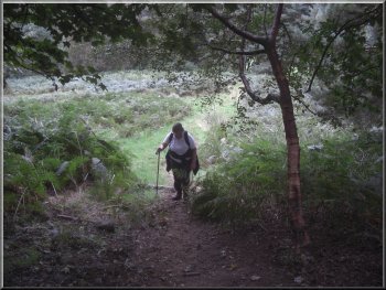
The path down the side of "Mount View"
The path from Felixkirk to Kirby Knowle was overgrown in places
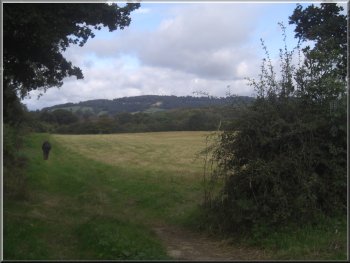
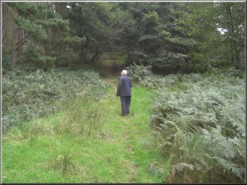
We followed this path across the fields for about 1.5km to map ref.
SE460864. Parts of this path are quite overgrown and it's a pleasant
walk with more variety than is apparent from the map.
|
We walked down the road for about 250m to the junction on the edge
of Felixkirk where we turned right away from the village. About 200m
from the junction we turned left off the road onto a footpath down the
side of a house called Mount View.
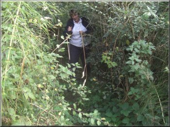
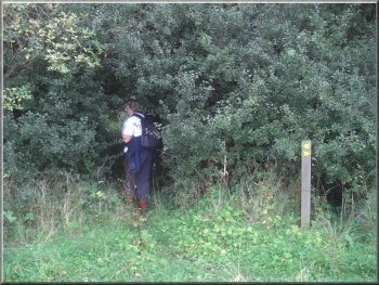
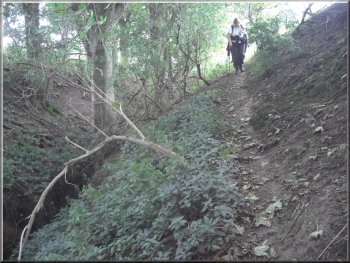
The path from Felixkirk to Kirby Knowle was overgrown in places
The path from Felixkirk to Kirby Knowle was overgrown in places
|
The path from Felixkirk to Kirby Knowle was overgrown in places |
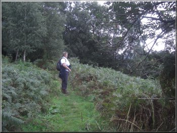
The path from Felixkirk to Kirby Knowle |
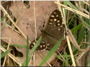
A Speckled Wood butterfly - climate change must suit them |
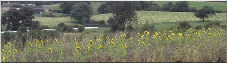
Sunflowers -probably pheasant cover |
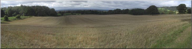
Stubble field after the harvest |
|
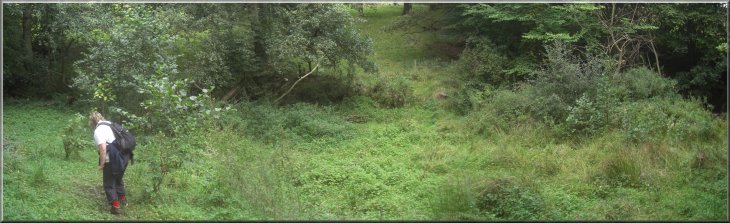
Stepping stones over a beck
We pushed our way through the shrubbery and the path opened out into
a field. We followed the field edges for about 700m to a road at map
ref. SE465871.
|
At map ref SE460863 the path crosses some stepping stones over a small
beck and about 40m beyond the beck there is a marker post by a high
thicket with hardly any gap to enter, but this is the path off to the
right towards Kirby Knowle.
Turning to Kirby Knowle - hardly visible
|
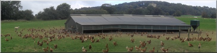
Free range hens |
|
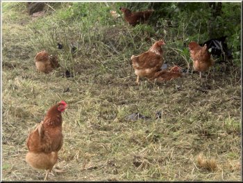
Free range hens
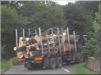
Lorry load of timber in Kirby Knowle
We continued to a bend in the road at map ref. SE469873.
|
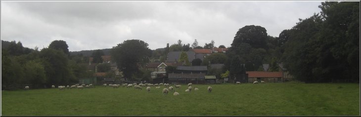
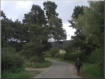
We walked along the road into Kirby Knowle and sat on a seat opposite
the church for our lunch.
The road into Kirby Knowle
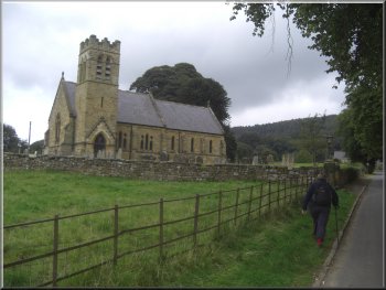
The church at Kirby Knowle
|
Looking back to Kirby Knowle from our path across the fields |
|
Entering the woods near Kirby Knowle
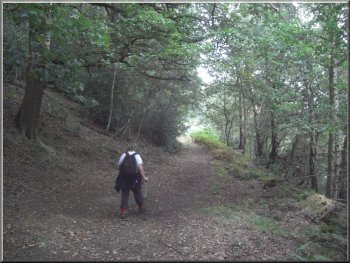
Woodland path from Kirby Knowle to Boltby
We crossed the track to follow a narrow bridleway steeply up the hillside.
After the first steep climb the path continued to climb more gently
with very pleasant views across to our right.
|
Here we turned right to follow a path across the fields to the edge
of a wood at map ref. SE471871. There is a broad track here that contours
round the hill on the edge of the wood.
Woodland path from Kirby Knowle to Boltby
Woodland path from Kirby Knowle to Boltby
|
Looking south from the Woodland path from Kirby Knowle to Boltby |
|
Woodland path from Kirby Knowle to Boltby
Our path makes a sharp left turn to stay in the woodland and pass
above Ravensthorpe Manor.
|
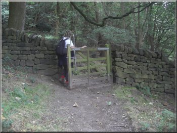
At map ref. SE478866 the path came to a pedestrian gate into a field.
There is no right of way through this gate.
Woodland path from Kirby Knowle to Boltby
|
Woodland path from Kirby Knowle to Boltby |
|
View from the seat near Ravensthorpe Manor
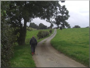
Path to the road near Boltby
After our stop we carried on down the edge of a field beside Ravensthorpe
Manor and then down a little wooded ravine, until we reached the road
at map ref. SE485865.
|
At map ref. SE481869 the path makes a sharp right hand turn and at
the turn there is a seat with a very nice view where we sat for a drink.
Little ravine leading down to the road near Boltby
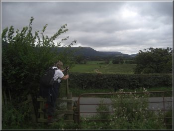
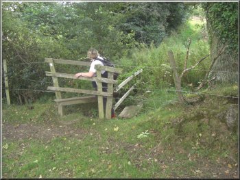
Climbing the stile to the road near Boltby
|
|
Entering Boltby heading back to the car
When we got back it was full with half a dozen vehicles there. Our
walk had been 11km and it had taken us four hours to walk including
our stops for refreshments and to admire the views.
|
We followed the road back into Boltby and along the village street
to the little parking area where we had started. We had been the first
to park there this morning.
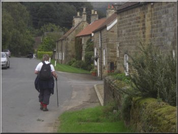
Returning through Boltby back to the car
|
Background Notes:
This walk is an 11km circuit, that's about six and a half miles from Boltby at the foot of the Hambleton Hills to the North East of Thirsk. There's a lay-by at a bend in the road at the eastern edge of the village with room to park and that's where our walk begins.
We walk back into the village to Gurtof Beck. Here there's nothing on the road to indicate that it's crossing the beck, but the footpath at the side of the road crosses the beck on a lovely little stone arch bridge. The beck flows gently under the road and the little bridge and it's hard to imagine the destruction it caused in June 2005 when a flash flood occured after a storm on Boltby Moor and a great torrent of water tore down the beck flooding the village street to a depth of around half a metre and damaging buildings. It's the same watercouse that caused damage in Sutton-under-Whitestonecliffe in the same flood about 4km downstream.
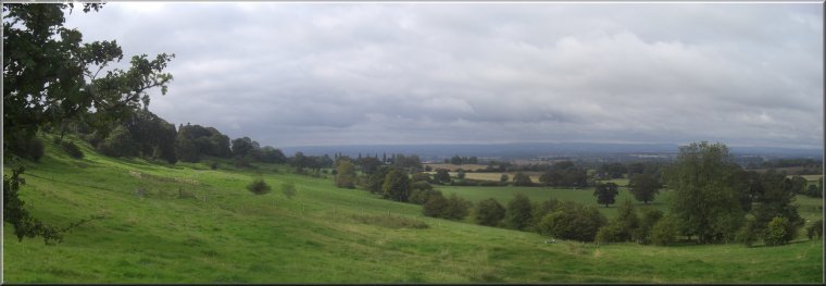
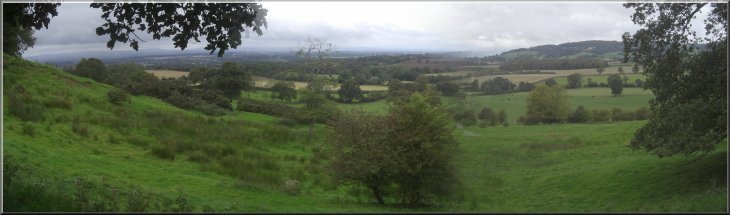
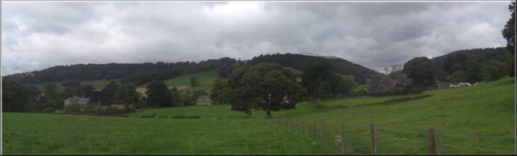
Just across the pedestrian bridge we turn left and follow a path across the fields following Gurtof Beck downstream for about 1.5km to a large farmstead called Tang Hall and an old mill beyond. Here our route turns West heading for the village of Felixkirk. We follow a farm access track gently climbing across the fields. All the way from Boltby there are lovely views of the Hambleton Hills rising to the east of our route.
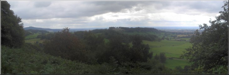
There is a hill above our track on the right called Mount St. John where there is a large country mansion. The mansion is on the site of a Preceptory of the Order of St John of Jerusalem. The Preceptory was built in the 11th century as the command centre for this area by the Knights Hospitallers. The Knight's Hospitallers of the Order of St. John began as an order of monks providing treatment and care for Christian pilgrims in Jerusalem at the time of the crusades. They started escorting pilgrims to offer them protection and quickly developed into a military order as well as the provision of care. After the dissolution of the monasteries in the 1530's, the Preceptory buildings passed to the Archbishop of York, and in 1720 the old buildings were demolished and the new country mansion was built. A modern day off shoot of the Knights Hospitallers is the St. John's Ambulance Brigade.
Our route takes us to Felixkirk where the village church is in fact dedicated to St. Felix. He was a French monk who travelled across East Anglia in the 600's converting the Saxons to Christianity. From Felixkirk we follow a path northwards across the fields for about 2.5km to Kirkby Knowle. Our route enters the village past the church of St. Wilfrid. The present church was built in the 1870's on the site of a much older church. There are artefacts in the church going back to the 1100's.
We follow a path across the fields from the village to Gurtof wood, a southern arm of Boltby Forest, and follow the path through the woodland around Ravensthorpe Manor. From the edge of the woodland the path drops down through a small gully to the road at the Western end of Boltby and we walk along the road through Boltby where many of the lovely stone and pantile roofed houses are grade 2 listed buildings. We pass the village church of the Holy Trinity and as in Kirkby Knowle this church was built in the 1850's on the site of an earlier church. We follow the road back to the lay-by at the end of our walk for this week.
top of page
|