| 2001 walks | 2002
walks | 2003 walks | 2004
walks |
| 2005 walks | 2006
walks | 2007 walks | 2008
walks |
| 2009 walks | 2010
walks | 2011 walks | 2012 walks |
| 2013 walks | 2014 walks | 2015 walks | 2016 walks |
| 2017 walks | 2018 walks | 2019 walks |2020 walks |
| 2021 walks | 1993-2000 library | Find a Route Index |
| A few Routes to print out | Request a Route... |
Route No. 332 - Saturday 3 April 2010
Newgate Bank, Roppa Wood, Hagg End,
River Seph, Easterside Hill circuit - 14km
North York Moors . . .
Ordnance Survey route
map from OS Open Space maps.
Map: OS Explorer OL26 North York Moors Western area at 1:25000
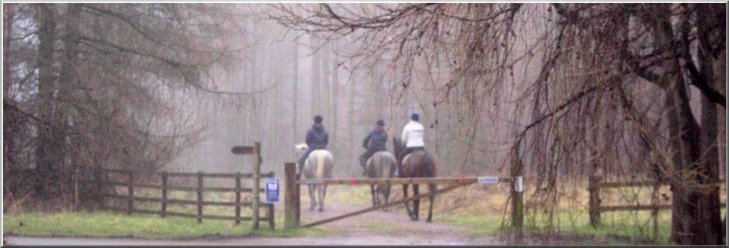
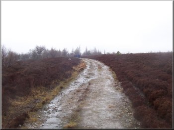
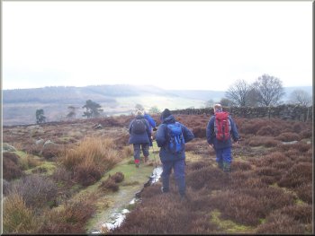
We followed these riders from the car park entrance out to Rievaulx Moor
|
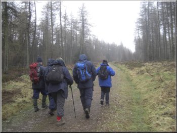
Track through the plantation to Rievaulx Moor
Track down the slope of the escarpment
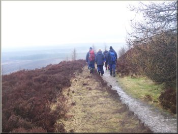
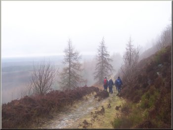
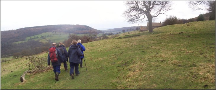
We continued on the track along the edge of the escarpment at the edge of the moor and above the
forest on the slope. After about 1.5km we came to a track bearing off to our left down the slope of the escarpment, called Reivaulx Bank, to the south
western corner of Roppa Wood at map ref. SE586908. |
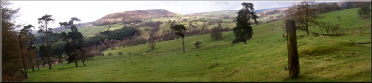
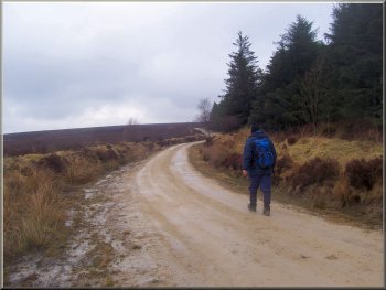
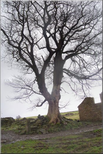
This morning my wife and I met a small group of friends at the Forestry Commission car park at the top of Newgate Bank at the southern end of
Bilsdale off the B1257 Helmsley to Stokesley road at map ref. SE564888. From the car park entrance we followed the track through the forestry
plantation for about 400m out to Rievaulx Moor.
Track along the edge of Rievaulx Moor
Track down the slope of the escarpment
|
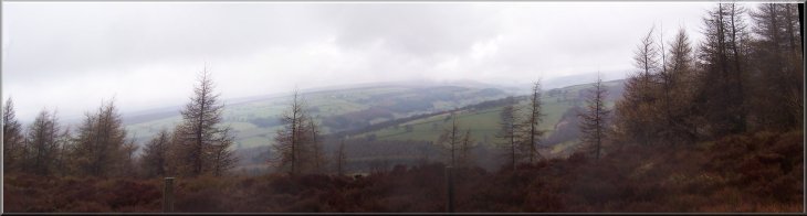
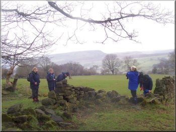
Looking up Bilsdale through the drizzle and low cloud
Path along the west side of Roppa Wood
|
Track along the side of Roppa Wood approaching the open moor
Path following the stone wall leading to New House farm
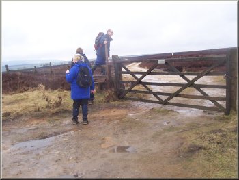
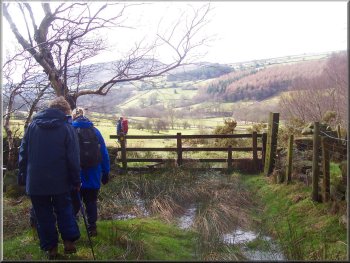
We turned left to follow a footpath along the wall in the opposite direction to the track for about 300m to a gate in the wall. Here we joined a
public footpath shown on the OS map from the corner of Roppa Wood, but we did not see any sign of a path across the moor. We turned right to go
through the gate and followed the route of the public footpath along a farm track to the ruins of New House farm about 150m away. We sat on the
stones at the ruined farmstead for a short break. |
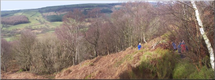
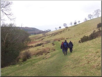
From here we followed the path along the western edge of Roppa Wood heading roughly
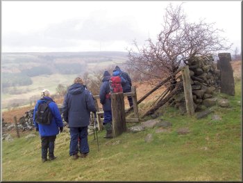
northwards to the north western corner of the wood about 800m away. There's a gate here on to the open moor with a stile to the left of the gate. We
crossed the stile and walked along a track to our left for about 1km to map ref. SE578921. Here the track turned right to go along a dry stone wall field
boundary.
Gate & stile on to the open moor at the corner of Roppa wood
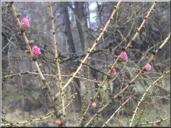
Pink flowers on the larch before the new needles
|
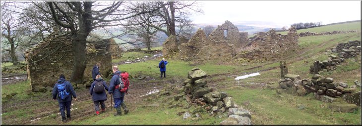
The ruins of New House farm where we stopped in the drizzle for a break
|
Leaving New House farm after our break
Path across the fields from New House farm
Steep descent into Bilsdale above Hagg End farm
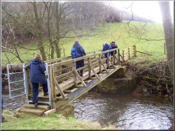
At the road we turned right to walk along the road for about 150m. Here we turned left off the road and followed a path down to a footbridge over the
River Seph, the little river that flows along Bilsdale. |
After our break we followed the public footpath across the fields for about 600m to map ref.
SE575925. Here we turned left to follow a path down a very steep bank, through some woodland and out to the B1257 at the side of Hagg End farm.
Fine old sycamore tree at New House farm
Leaving the woodland above Hagg End farm
|
|
Steep descent into Bilsdale above Hagg End farm
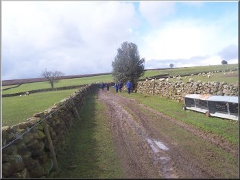
Access road to Low Ewe Cote farm
|
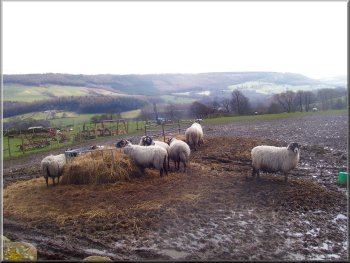
Sheep at Low Ewe Cote farm
Here we
crossed the road and walked along the farm access track to Low Ewe Cote farm. We continued on the path through the farm and then up the hillside
across the fields to a gate on to the open moor at map ref. SE557919. |
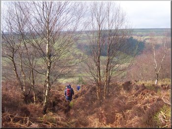
Once across the river we took the path straight up the hillside to the edge of some woodland and
then followed the path diagonally up through the trees and out along a track across the fields to a minor road at map ref. SE563920.
Path to the moor from Low Ewe Cote farm
|
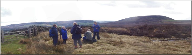
A short break when we reached the open moor
|
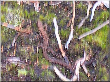
Very fast lizard in the heather despite to cold weather
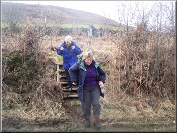
Here the path dropped down a steep bank on a few timber steps to the road where we turned left and walked along the
road for about 20m where we turned right off the road over a stile into a field. |
We went through the gate and followed the track across the moor for about
600m to a boundary wall. Here we turned left to follow a path alongside the wall for about 1.2km around the base of Easterside Hill and out to a minor
road at map ref. SE558906.
Steps down on to the road
|
Path across the fields heading for the River Seph in the valley bottom
|
Path across the fields heading for the River Seph
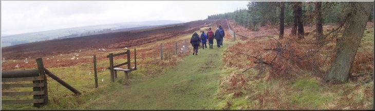
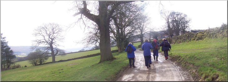
Next to the farm we turned left up the hillside and across a farm access track. Across the track our path climbed up the steep hillside along the edge
of a forestry plantation to the road up Newgate Bank at map ref. SE565892. At the road we turned right and walked up the hill for about 200m. Here
we turned left off the road to follow an informal path back up the slope through the heather and scrub to the viewing platform at the edge of the car
park and the end of our walk. The whole route had been 14km and it had taken us around five hours to walk including our breaks. |
We followed this path across several fields slowly dropping down the
slope for about 650m to a stone wall. At the wall the path turned left to run alongside the wall for about 200m and then followed the wall around a right
hand bend to some stone farm buildings. The path passed these buildings and then dropped down the hillside to a footbridge over the River Seph.
Over the bridge the path crossed a wide field with a large tree in the middle which the path goes by on its way to pass just to the east of Fair Hill Farm.
Footbridge over the River Seph near Fair Hill farm
|
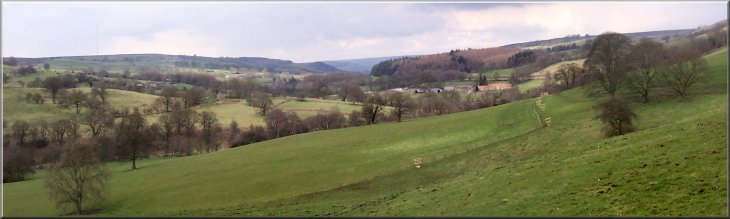
The view up Bilsdale as we climbed up to the road up Newgate Bank
|