| 2001 walks | 2002
walks | 2003 walks | 2004
walks |
| 2005 walks | 2006
walks | 2007 walks | 2008
walks |
| 2009 walks | 2010
walks | 2011 walks | 2012 walks |
| 2013 walks | 2014 walks | 2015 walks | 2016 walks |
| 2017 walks | 2018 walks | 2019 walks |2020 walks |
| 2021 walks | 1993-2000 library | Find a Route Index |
| A few Routes to print out | Request a Route... |
Route No. 348 - Wednesday 23 June 2010
Penistone Hill, Bronte Falls, Bronte Bridge,
Top Withins,
Withins Height, Haworth Moor, - 11km
Haworth, South Pennines . . .
Ordnance Survey route
map on the Landranger series map base
Map: OS Explorer OL21 South Pennines at 1:25000
|
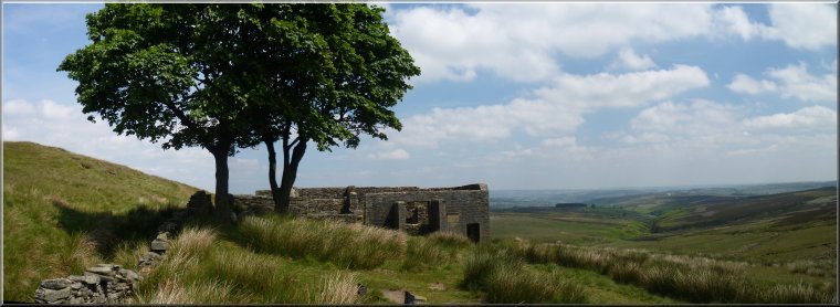
Looking across the valley to Stanbury and Oakworth Moor beyond from the car park at Penistone Hill
|
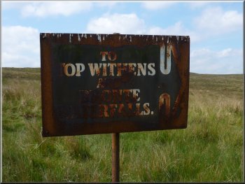
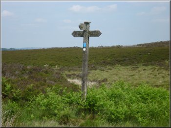
Rusty sign to Top Withens & Brontë Waterfalls
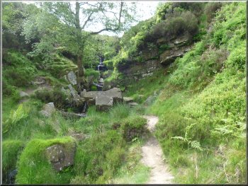
Track to the Brontë Falls
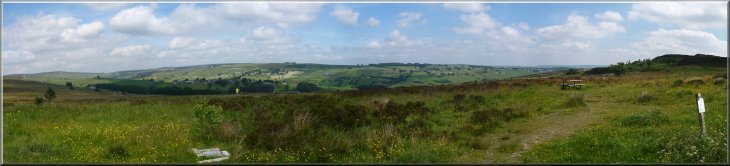
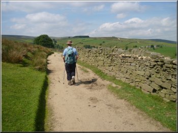
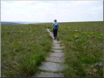
From the car park we crossed the road and followed the path across the heath land for about 900m to join a track at map ref. SE008364. We continued along this track for about 1km to the site of the Brontë Falls. |
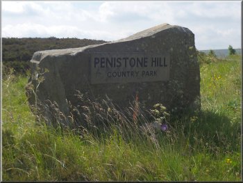
The weather today promised to be just right for walking, warm and sunny with a pleasant breeze. My neighbour, Jim, and I drove to Haworth in the South Pennines for a walk in the "Brontë Country". We parked on the edge of the Penistone Hill Country Park at map ref. SE018363.
Path from the car park to the Brontë Falls
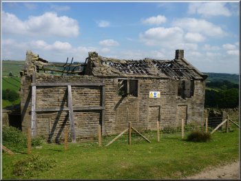
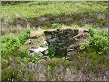
The ruins of Middle Intake Farm
Track to the Brontë Falls
|
Site of the Brontë Falls - but no water!
Even the peaty moors are very dry. There was only a small trickle of water running down the rocky cascade and indeed, not a great deal of water in the South Dean Beck itself. |
The falls are on a stream that tumbles down a series of rock steps to join the South Dean
Beck in the valley leading down to Lower Laithe Reservoir. Unfortunately there has been no significant rain for several months.
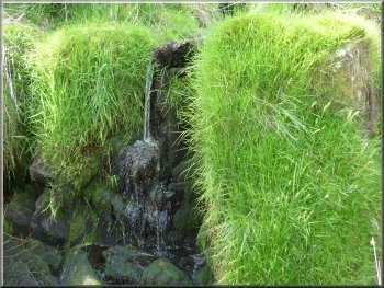
Site of the Brontë Falls - but no water!
|
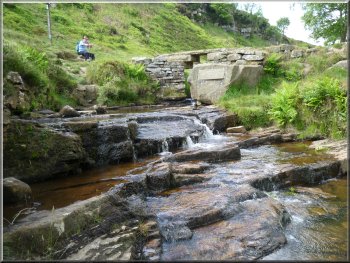
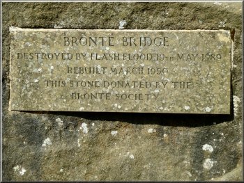
The restored Brontë Bridge
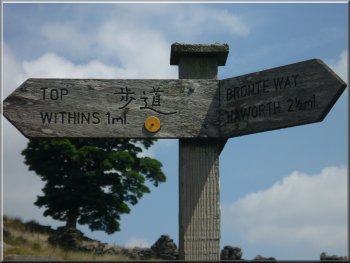
One of several sign posts in English & Japanese
These are duplicated with a sign in Japanese as well as English. Testamony to the Japanese enthusiasm for the Brontë sisters' writings. |
We crossed the Brontë Bridge over the South Dean Beck and began our climb up the hillside. There are wooden finger posts marking the route up to Top Withens.
Starting to climb up to Top Withins
|
Looking back down the valley of South Dean Beck |
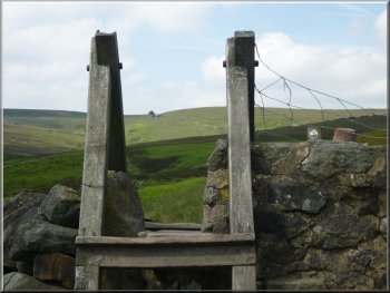
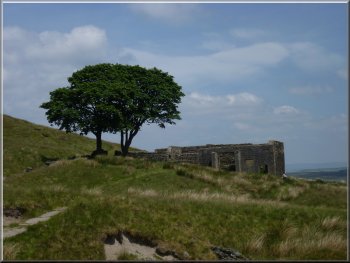
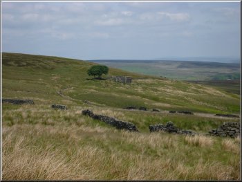
Trees at Top Withins on the horizon over the stile
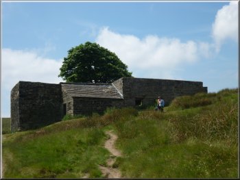
The ruins of Top Withins
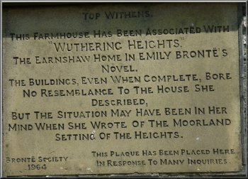
Information plaque at Top Withins
After 250m we reached the ruined farm house at Top Withins. There were some benches here where we sat for our lunch with a fine view eastwards to Haworth and beyond. |
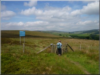
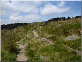
Our path followed the valley up on to the moor to join the Pennine Way route at map ref. SD983356. Here we turned left to follow the Pennine Way paved path.
Climbing up to Top Withins
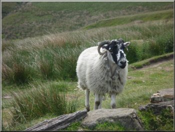
A hungry ewe came to investigate our lunch
Looking back to Top Withins
|
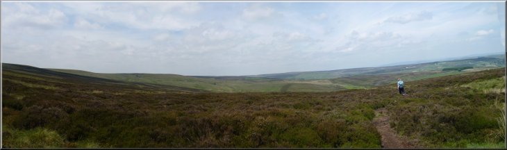
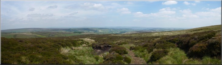 Looking East from the moor top near Withins Height Looking East from the moor top near Withins Height |
Looking back to Top Withins from the Pennine Way
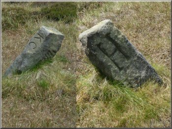
Both side of a fallen boundary stone by our path
It simply runs along the flat moor top, right on the ridge alongside a small drainage ditch. My gps gadget recorded the turn at map ref. SD 97971 34748. The ground is all soft peat which was quite dry today but normally it would be a tiring walk through soft wet peat. |
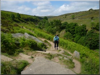
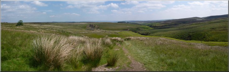
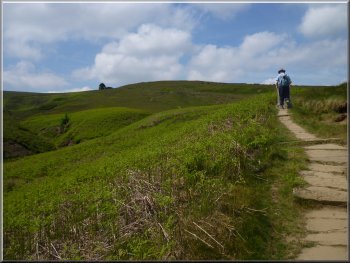
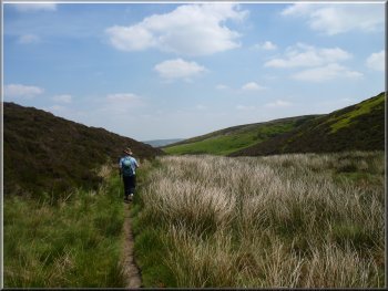
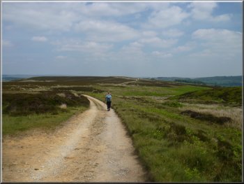
After our break we continued along the Pennine Way path for about 600m to the ridge at Withins Height, map ref. 980348. Here we turned left off the paved path to walk along the ridge following a feint path across this open access land. There are no significant land marks to help you find this path.
Pennine Way path approaching Withins Height
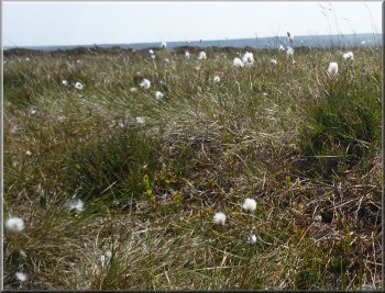
Cotton grass on the moor
|
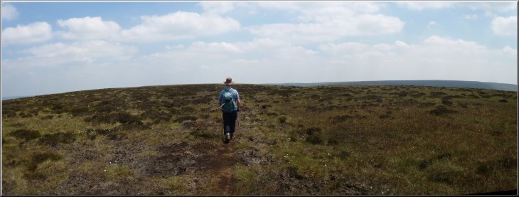
Crossing the open moor from Withins Height
|
Path down to Harbour Hill
A
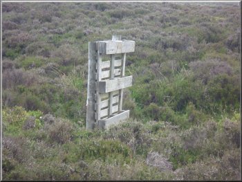
pallet used as a makeshift grouse shooting butt . . .
This whole open moorland part of the route was pleasant enough today in the warm sunshine and clear skies, but it would be a nightmare to navigate in wet misty weather and thing could all too easily go badly wrong in such conditions. |
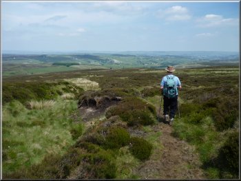
After about 1.2km we turned left off the ridge at map ref. SD991346, at a point just before the ground begins a slight rise up to Oxenhope Stoop Hill. We were now back on
a public footpath which gradually became more defined and led us down to a little valley below Harbour Hill.
The little valley by Harbour Hill
. . . and a stone grouse shooting butt
|
The path leading down from the moor top to Harbour Hill |
Sign post at Harbour Lodge
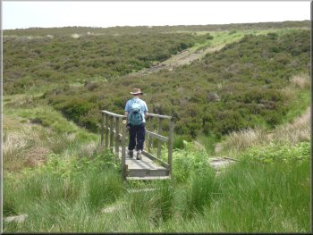
Footbridge at Harbour Lodge
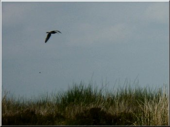
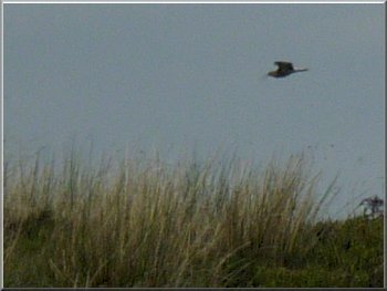
Curlew circling around us
At the road we turned left to walk along the road for about 150m back to our car. The whole route had been 11km and it had taken us four hours to walk including our lunch break. |
From Harbour Hill we followed the path around Harbour Lodge and onto the access track to Harbour Lodge. We followed this track for about 2.5km back to the road at map ref. SE018361.
Path around Harbour Lodge
Curlew circling around us
The access road from Harbour Lodge
|
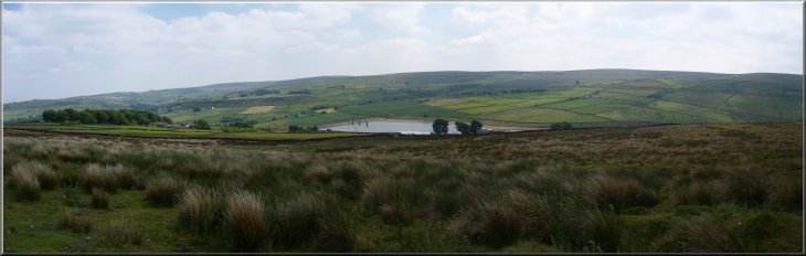
Leeshaw Reservoir from the Harbour Lodge access road |