| 2001 walks | 2002
walks | 2003 walks | 2004
walks |
| 2005 walks | 2006
walks | 2007 walks | 2008
walks |
| 2009 walks | 2010
walks | 2011 walks | 2012 walks |
| 2013 walks | 2014 walks | 2015 walks | 2016 walks |
| 2017 walks | 2018 walks | 2019 walks |2020 walks |
| 2021 walks | 1993-2000 library | Find a Route Index |
| A few Routes to print out | Request a Route... |
Route No. 377 - Wednesday 13 October 2010
Rutmoor Beck (open access land),
Cropton Forest, Mauley Cross, circuit - 12km
Stape, North York Moors . . .
Route map from Ordnance
Survey Open Space service.
Map: OS Explorer OL27 North York Moors Eastern area at 1:25000
|
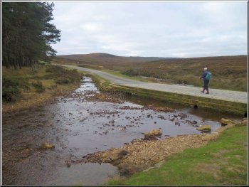
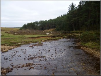
Ford over Rutmoor Beck
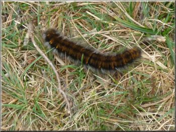
Caterpillar of the Oak Eggar moth by the path
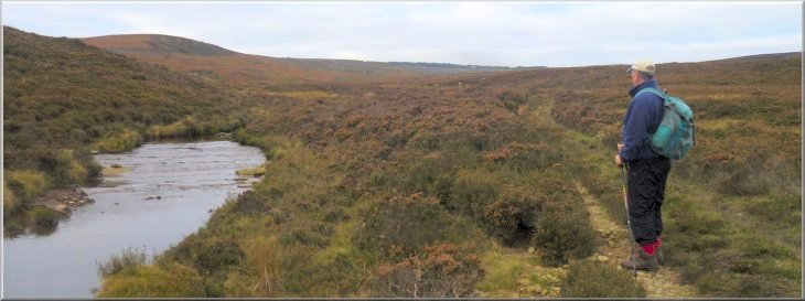
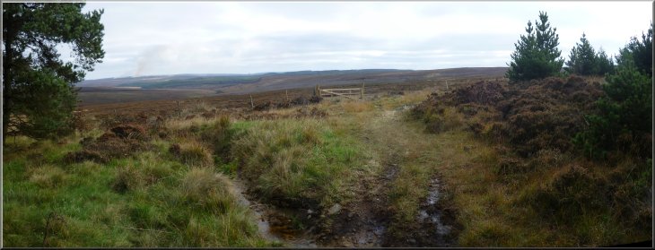
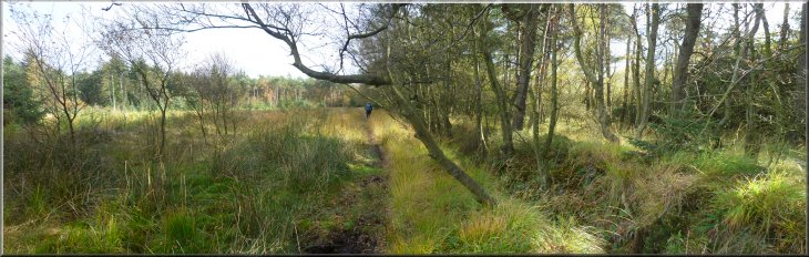
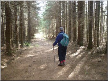
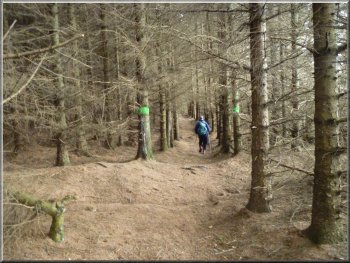
The weather was cloudy but fine and from the ford we set off to follow
Rutmoor Beck upstream There is no specific right of way but the area
is open access land under the CRoW
Act. To start with there was a reasonable quad bike track which
crossed the beck a couple of times.
|
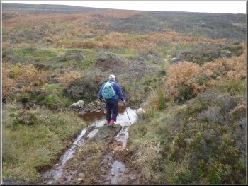
Today we drove from Pickering out through Newton-on-Rawcliffe and Stape
to the ford over Rutmoor Beck at map ref. SE802970. We parked on the
grass off the road next to the ford.
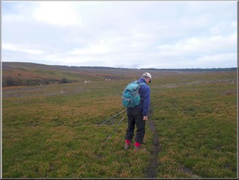
Using a sheep track to follow the beck upstream
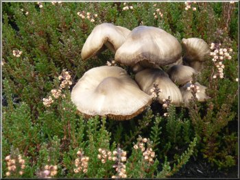
Autumn fungus amongst the heather
|
|
Crossing Rutmoor Beck to follow a tributary up Ramsden Head
Crossing the moor to the edge of Cropton Forest
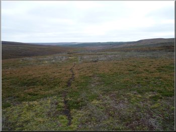
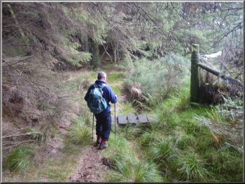
After around 300m at map ref. SE783958 we crossed the stream and headed
across the moor. It was fairly rough going and we tried to walk across
the areas where the heather had been burnt off most recently and the
heather was shortest. We were heading for the edge of Cropton Forest
at map ref. SE777958. Here there is a wooden gate between the open moor
and the forest.
|
After about 2km at map ref. SE785961 we came to a track which crossed
Rutmoor Beck and followed a tributary climbing up the moor known as
Ramsden Head. There were logs across the stream at intervals with a
mink trap covered by a wire netting tunnel fixed in the middle to catch
any mink tempted to use the handy bridge over the stream.
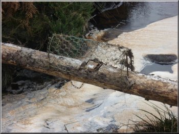
Mink trap on a log across the stream
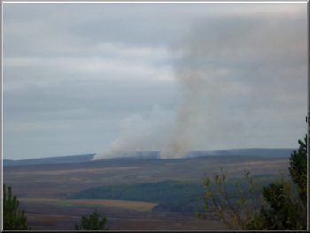
Heather burning on Wheeldale Moor
|
Looking back to the gate from the moor into Cropton Forest |
|
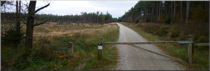
Grassy track from the gate to a forest access road
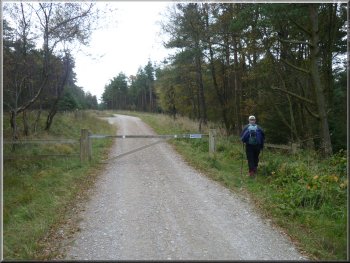
There is a public right of way along this forest road and we turned
left to follow it Southwards.
|
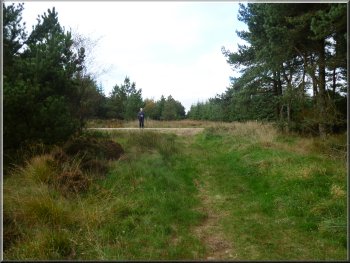
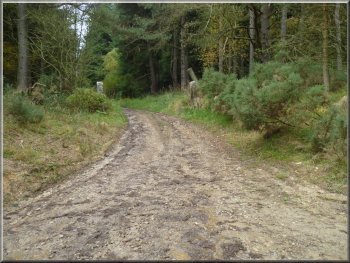
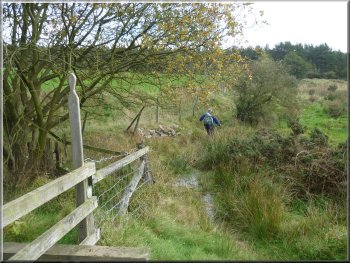
We crossed the gate and followed a grassy track for about 50m to join
a stone forest access road at map ref. SE776958.
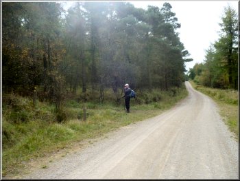
Heading southwards on the forest road
|
Looking back Northwards along the forest access road |
|
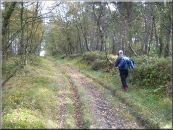
Leaving the forest road for a public footpath through the forest
There was a bank on the right of the path covered with bilberry plants
where we sat for our lunch break. The silence in the forest here is
lovely.
|
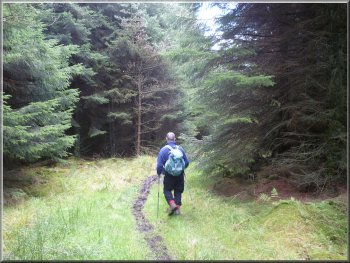
After about 1.5km at map ref. SE778944, we turned left on to a public
footpath that crosses the forest road at this point.
The public footpath through the forest
|
The public footpath through the forest |
|
The public footpath through the forest
This part of the route can be awkward to navigate. From Low Leaf Howe
House the path turns left and after 150m joins a forest road at map
ref. SE787942.
|
After our break we continued along the path for a few hundred metres
to map ref. SE783945 where we turned right to continue on the footpath
to Low Leaf Howe House (an out door centre).
The track from Low Leaf Howe House
|
Start of the path (map ref. SE787942) through the trees from the forest
road near Low Leaf Howe House |
|
Heading for the road at SE793940
Heading for the road at SE793940
We emerged onto the public road after about 500m at map ref. SE793940.
|
We crossed the forest road and continued along a public footpath through
the trees.
Heading for the road at SE793940
Heading for the road at SE793940
|
|
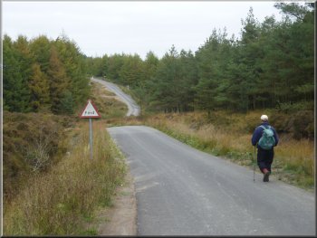
Heading along the road to the Old Wives Well
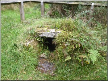
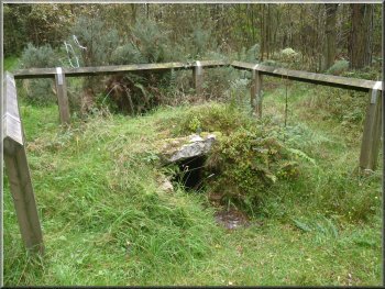
The Old Wives Well
It's about 50m off the road along a grassy path and has a wooden rail
around it. The many ideas of its origins are explained on this site
about Yorkshire
Holy Wells.
|
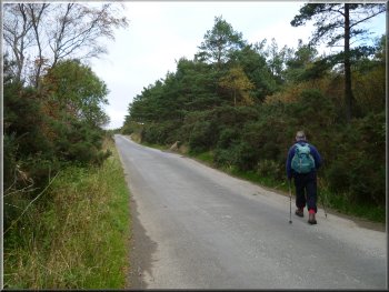
At the road we turned left and walked along the road for about 200m
to "The Old Wives Well" on our right.
The Old Wives Well
Ribbons on the bushes at the Old Wives Well
|
|
The road from Stape back to the car at the ford
It's a plain cross with no plinth and no inscription. After inspecting
the cross we walked back to the public road and turned right to follow
it back towards the ford over Rutmoor Beck.
|
After visiting the well we continued along the road for another 200m
to a forest access road on the right. We turned to walk along this forest
road for about 150m until we came to Mauley Cross on top of the bank
on the left hand side of the road at map ref. SE796943.
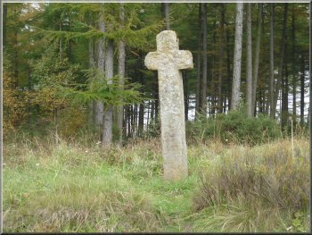
Mauley Cross
|
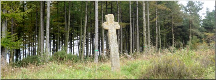
Mauley Cross |
|
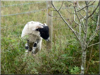
Young sheep with its head stuck through the wire
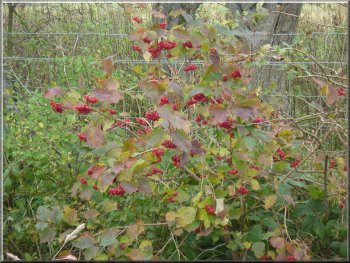
A Guilder Rose bush just coming into its autumn glory
We noticed two sheep about 20m apart that had pushed their heads through
one of the square wire panels in the fence to graze the grass outside
and then could not get back because of their horns. Judging by the mess
of mud and droppings behind them they had been there for some time.
I approached them quietly and was able to release them both without
much trouble and they trotted off just a few metres and began grazing
as if nothing had happened.
|
After almost a kilometer, the road crosses a little steep sided valley
with a stream in the bottom. There is a sharp double bend as the road
negotiates the steep descent to the stream. There were tyre track skid
marks at the top where a vehicle had clearly gone straight on over the
edge of the steep bank not too long ago. As we climbed out of this little
valley there was a field on the right hand side of the road with sheep
grazing the rough pasture.
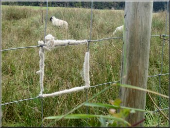
Wire square wrapped with wool by the struggling sheep
Approaching the spot where a car had gone straight on down the bank
|
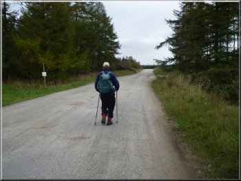
Heading back to the car |
|
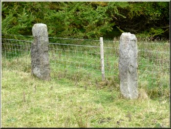
A pair of old stone gate posts
Rutmoor Beck where it becomes Wheeldale Beck
The whole walk had been 12km and it had taken us a little over 4 hours
to walk including our lunch stop.
|
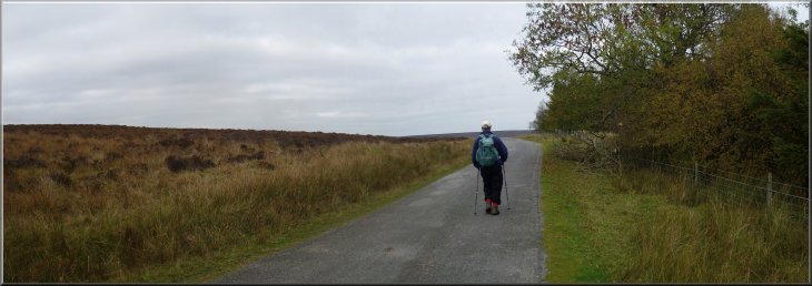
We continued along the road for another 1.5km, back to our car at the
ford over Rutmoor Beck.
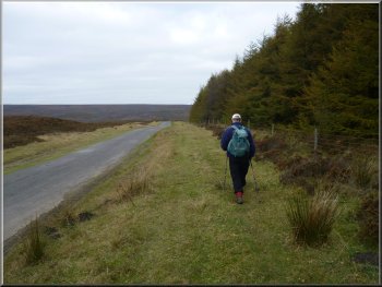
The last kilometer back to the car
Rutmoor Beck where it becomes Wheeldale Beck
|
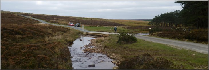
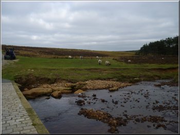
The ford across Rutmoor Beck at the end of our walk |