| 2001 walks | 2002
walks | 2003 walks | 2004
walks |
| 2005 walks | 2006
walks | 2007 walks | 2008
walks |
| 2009 walks | 2010
walks | 2011 walks | 2012 walks |
| 2013 walks | 2014 walks | 2015 walks | 2016 walks |
| 2017 walks | 2018 walks | 2019 walks |2020 walks |
| 2021 walks | 1993-2000 library | Find a Route Index |
| A few Routes to print out | Request a Route... |
Route No. 401 - Thursday 24 March 2011
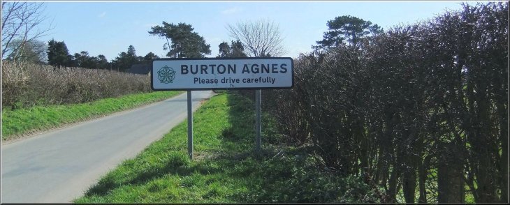
Burton Agnes, Harpham,
Lowthorpe, Kilham circuit - 13km
Yorkshire Wolds . . .
Route map from Ordnance Survey
Open Space service.
Map: OS Explorer 295 Bridlington, Driffield & Hornsea
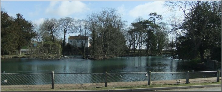
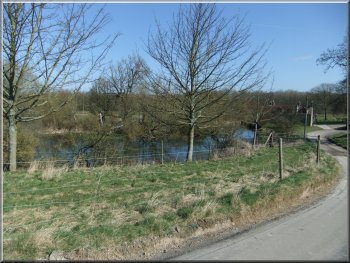
The village pond in Burton Agnes |
|
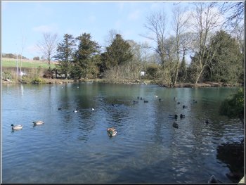
The village pond in Burton Agnes
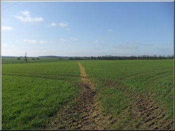
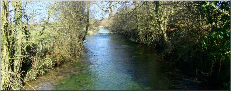
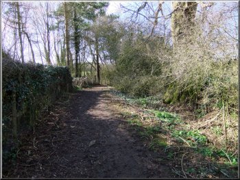
Path across the fields from Burton Agnes to Harpham
They walked along the main road in a Southwesterly direction for about
350m to map ref. TA100628 where they turned left off the road to follow
a public footpath across the fields for about 1.5km to the village of
Harpham.
|
Two friends of mine, John and Tom, walked this route and sent me these
details - thanks fellers! They parked in Burton Agnes near the road
junction on the A614 at map ref. TA103630.
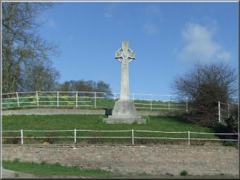
The war memorial in Burton Agnes
The drummer boy's well by the path from Burton Agnes to Harpham
|
|
Rattling Water where the footpath meets the road
At this point they turned left off the road onto a footpath heading
towards the church. After about 100m they turned right and followed
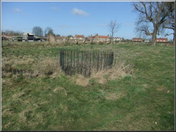
the footpath across the fields past some earthworks on the left to a
minor road at map ref. TA087613. At the road they turned left to follow
the road for about 350m
|
They reached a minor road on the edge of the village at map ref. TA092618.
Here they turned left to walk about 100m to the crossroads in the village.
At the crossroads they turned right and continued along the road for
about 150m to map ref. TA091617. .
The path to Lowthorpe
|
|
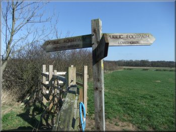
The path to Lowthorpe from Bracey Bridge
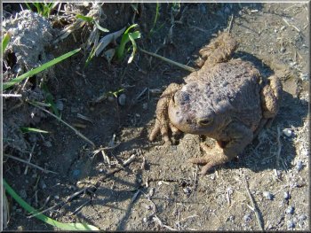
A toad seen at Bracey Bridge
On the edge of the village at map ref. TA066641 they turned right and
followed the path to the East to a road at map ref. TA072641. At the
road they turned right and walked along the road for 100m round a left
hand bend to a right hand bend where a track called Green Lane continued
straight ahead. Further down this track they could see a substantial
traveller encampment so after about 70m they took the footpath across
the fields on the right from map ref. TA074640. After around 1km across
the fields the path again crossed the track that here is called Sandy
Lane. They continued on the path on the other side of Sandy Lane for
about 1.5km to a minor road at map ref. TA102634.
|
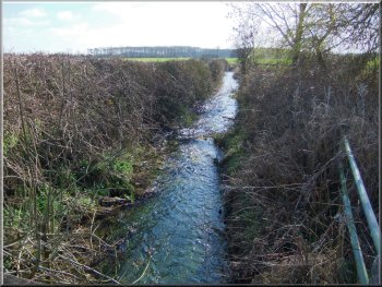
Here they turned right off the road onto a footpath to cross Kelk Beck
and then continue across the fields for another 350m to map ref. TA084609.
Here they turned left to follow the footpath to a road in the village
of Lowthorpe at map ref. TA082604. At the road they turned right to
walk along the road for 700m to map ref. TA076608 where they turned
right off the road on to a footpath along the side of a wood heading
Northeasterly for about 700m to map ref. TA081613. Here they turned
left to walk along the footpath to the road at Bracey Bridge, map ref.
TA076620. They crossed the road and continued in a Northwesterly direction
on a footpath across the fields for about 2.3km towards the village
of Kilham.
The Mill Pond at Bracey Bridge Mill
The path passes Kilham Sewage Works
|
Lowthorpe Church |
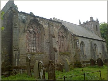
Lowthorpe Church |
|
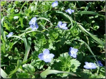
Speedwells in the Spring sunshine
They continued past the church and out onto a road called Shady Lane.
They walked down this lane for the final 250m back to their car. The
whole route had been 13 km and had taken just over four hours to walk.
|
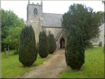
They turned right at the road to walk down the road to the edge of
Burton Agnes. After about 250m they turned left off the road to follow
a track that led through to the village church.
The church in Burton Agnes
|
|
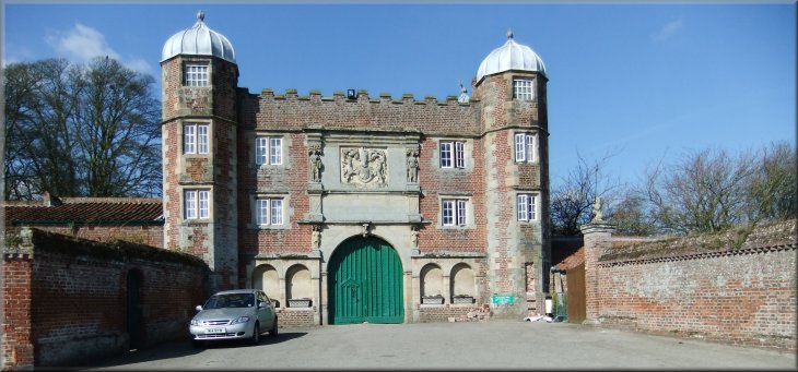
The entrance to Burton Agnes Hall
The road back into Burton Agnes
|