| 2001 walks | 2002
walks | 2003 walks | 2004
walks |
| 2005 walks | 2006
walks | 2007 walks | 2008
walks |
| 2009 walks | 2010
walks | 2011 walks | 2012 walks |
| 2013 walks | 2014 walks | 2015 walks | 2016 walks |
| 2017 walks | 2018 walks | 2019 walks |2020 walks |
| 2021 walks | 1993-2000 library | Find a Route Index |
| A few Routes to print out | Request a Route... |
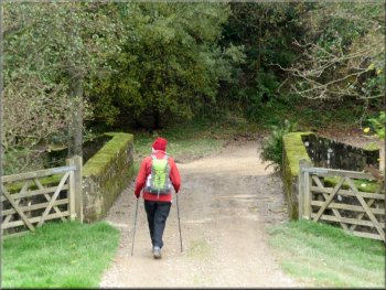
Route No. 442 - Monday 24 October 2011
Hodge Beck & Sleightholmedale circuit via
Rollgate Bank & Stonely Woods - 10km
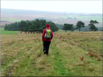
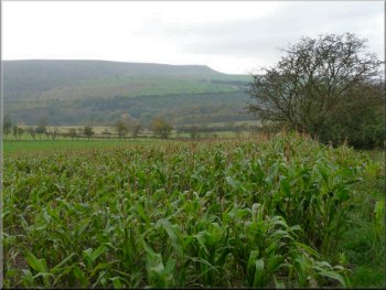
North York Moors . . .
Route map from Ordnance Survey
Open Space service.
Map: OS Explorer OL26 North York Moors Western area
An interesting exploration of this valley from Ray Brown
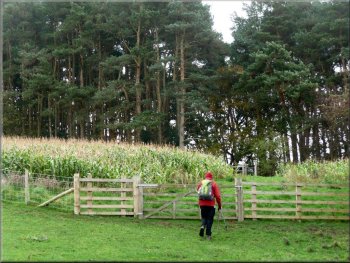
Signpost to our path at Sleightholme Cottages |
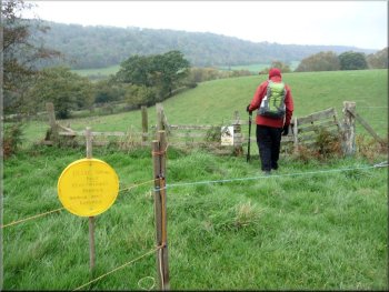
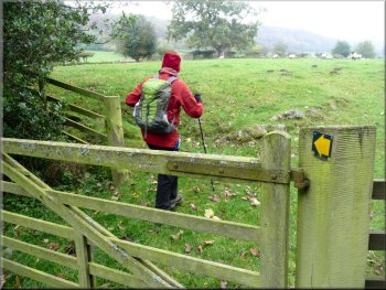
A yellow disc, a stile & a “Bull in Field” notice . . .
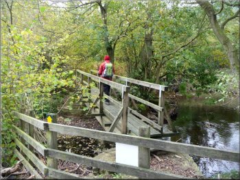
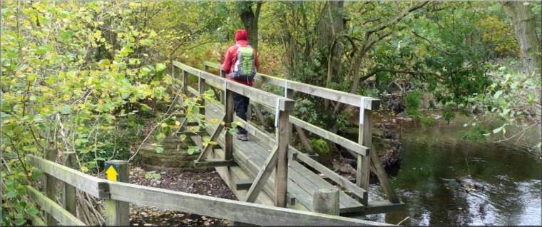
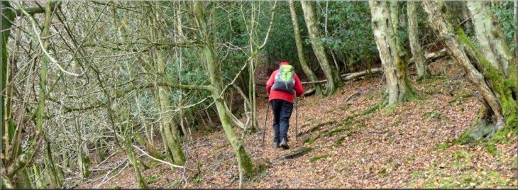
Footbridge over Hodge Beck
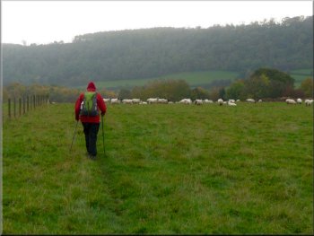
Maintaining our same direction we descended then climbed through the
territory shared by the insouciant bull and his harem towards the corner
of Slades Wood where a path on the left of the wood led down to a footbridge
over Hodge Beck. Once across the beck, we walked right alongside it
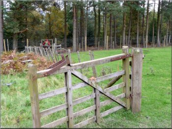
to a way-marked stile into pasture and thence to a succession of two
way-marked farm gates which directed us around the right side of West
Sleightholmedale farm via a pedestrian gate and a narrow neck of woodland.
|
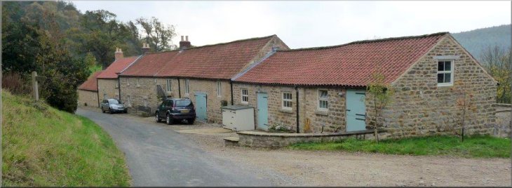
From Ray Brown - With the car parked
at SE 658898 on the grass verge of Sleightholme Dale Road beyond Sleightholmedale
Cottages at Aumery Park, we walked back to the first cottage where we
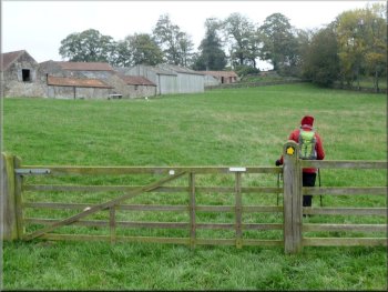
turned right opposite a signpost. In 60 metres a farm gate gave access
to pasture where we branched right towards the far corner, marked by
a yellow disc, with a stile and a “Bull in Field” notice.
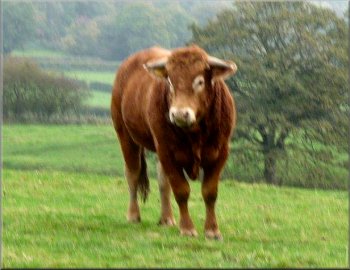
. . . the promised bull in the field
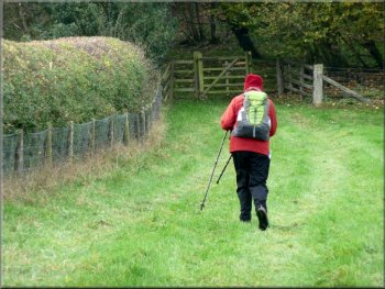
Path around the right side of West Sleightholmedale farm
|
We did not follow the arrow left but went straight on
However we chose instead the alternative right-of-way which delivered
us to the same point; this involved continuing ahead to the corner of
the pasture and through a farm gate to SE 649900 where we turned left
along the right side of a hedgerow to reach SE 647898. |
Emerging through a farm gate into pasture, a waymark directed us
hard left to follow a right-of-way running tightly around the back of
the farm and leading eventually to SE 647898, the start of a climb through
Wether Cote plantation.
Approaching Wether Cote plantation by our preferred right-of-way
|
Climbing through Wether Cote plantation |
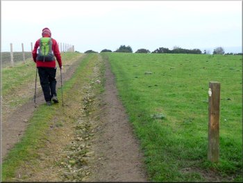
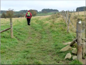
Starting on the track along Aldergate Bank
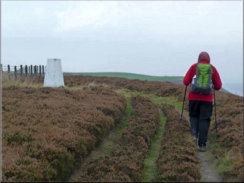
Moorland at the trig point on Rollgate Bank
During our walk the Sun’s rays made several failed attempts to penetrate
our Tupperware skies and visibility remained poor. The track continued
along the escarpment, occasionally via farm gates, first with arable
land and later with moorland on the left, for some 1.5 km past the 298
metre triangulation point at SE 634907 and, shortly thereafter at a
rather incongruous road sign, it descended down Rollgate Bank to SE
629912. |
Following a steep climb through the plantation we emerged on to a
relative plateau where we continued though pasture with the field boundary
on our left until a vehicle track crossed our path. Here we turned right
on to that track which after 150 metres reached and ran along the top
of Aldergate Bank. This route exposed the fine panorama of Sleightholme
Dale on our right but unfortunately the local weather over the moors
differed from the accurately forecast sunshine enjoyed elsewhere in
the region.
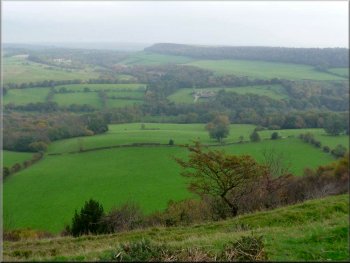
Sleightholme Dale in poor visibility
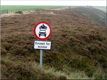
An incongruous traffic sign on the moor
|
The track descending Rollgate Bank |
Turning point off the track to a footpath at SE629912
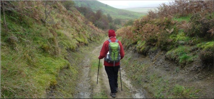
Track heading down from Otterhill Common
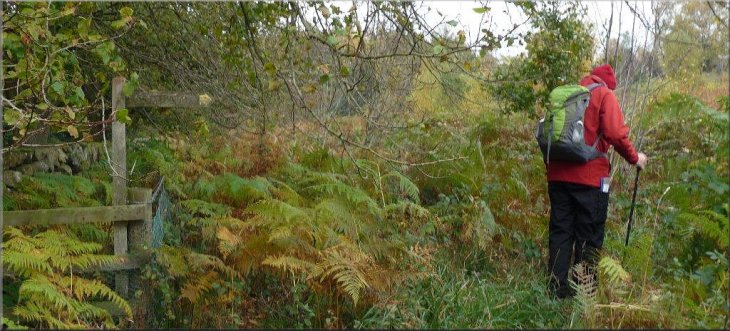
A discernable path ran through pasture immediately on the left of
the forest and joined a track towards a farm gate. Beyond it and a second
such gate, we swung left to enter woodland through a deer fence. |
Here at a farm gate where the moorland ends we turned sharp right
through about 140 degrees to pick up a right-of-way across alternating
heather-free moorland and pasture towards SE 633910 before veering left
downhill over Otterhill Common heading towards a band of woodland at
SE 638913.
Heading downhill over Otterhill Common
Entering woodland through a deer fence below Otterhill Common
|
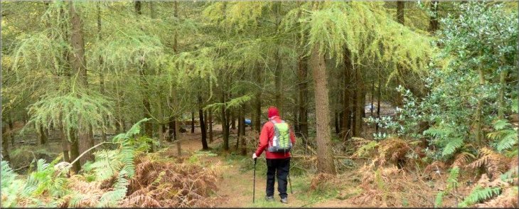
Dropping down through the forest towards Otterhills |
Approaching Otterhills farm
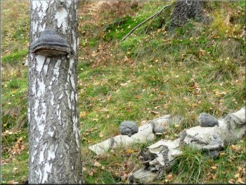
Bracket fungus on a birch tree
Initially the track went uphill, with a birch tree with bracket fungi
on our left and then the fine property of Penny Holme on our right.
In 100 metres the track, now surfaced, turned left and then right over
Rudland Beck ford and footbridge. |
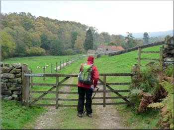
Dropping down through the forest we soon reached a farm track which
turned left in front of Otterhills farm and continued to a vehicle bridge
over Hodge Beck. Here we kept right and followed the track.
Otterhills bridge over Hodge Beck
Climbing steadily from Penny Holme with field boundaries on our right
|
Signed path at Rudland beck ford just beyond Penny Holme |
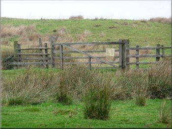
Veering right to a farm gate leading into woodland
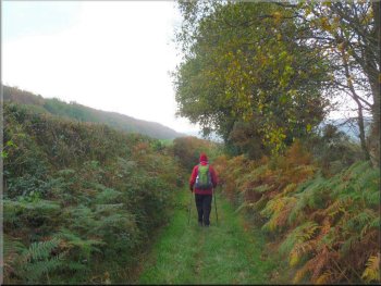
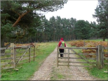
Bridleway towards Sleightholme Dale Road
The woodland path veered left at a notice warning that trespassers
would not be forgiven, and took the right-of-way around the left side
of the property known as Stonely Woods. Next we turned right on to the
access track for that house and after 280 metres at a left bend found
a bridleway on the right. This wound its way gently downhill for some
2 kilometres to the Sleightholme Dale Road with our parked car some
440 metres to the left. Total ascent/descent of 927 feet - Ray
Brown |
Once across the beck we immediately veered left on to a signposted
vestigial path running steeply uphill through moorland and scrub before
reaching a stile into the first of a succession of four pastures. Having
climbed steadily in the same general direction with field boundaries
on our right, we arrived at a group of trees in the fourth pasture where
we veered right to a farm gate leading into woodland. Looking back we
contemplated the Aldergate Bank escarpment we had traversed earlier
in our walk.
Looking back to Aldergate Bank escarpment
Bridleway towards Sleightholme Dale Road
|