| 2001 walks | 2002
walks | 2003 walks | 2004
walks |
| 2005 walks | 2006
walks | 2007 walks | 2008
walks |
| 2009 walks | 2010
walks | 2011 walks | 2012 walks |
| 2013 walks | 2014 walks | 2015 walks | 2016 walks |
| 2017 walks | 2018 walks | 2019 walks |2020 walks |
| 2021 walks | 1993-2000 library | Find a Route Index |
| A few Routes to print out | Request a Route... |
Route No. 449 - Tuesday 20 December 2011
Kirkbymoorside (via ford), Hutton-le-Hole,
Gillamoor circuit - 14km
North York Moors . . .
Route map from Ordnance Survey
Open Space service.
Map: OS Explorer OL26 North York Moors Western area
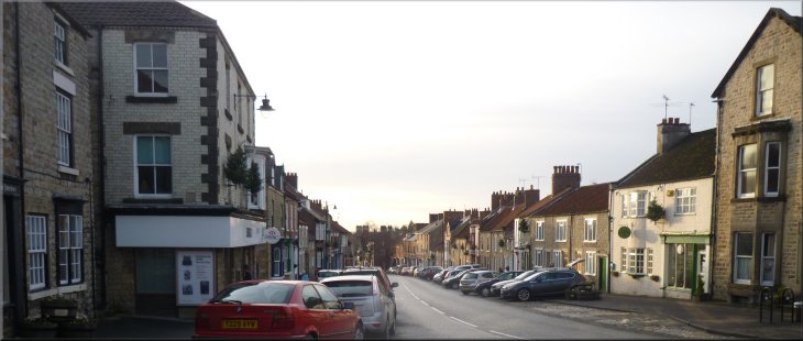
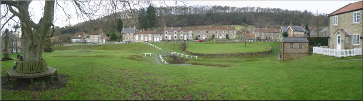
The main street in Kirkbymoorside |
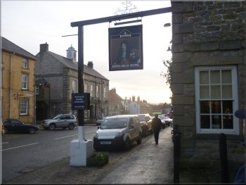
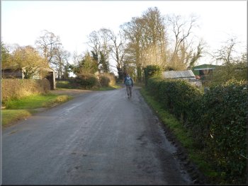
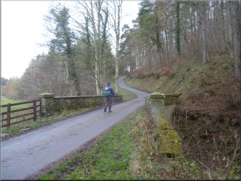
Leaving the car park in Kirkbymoorside
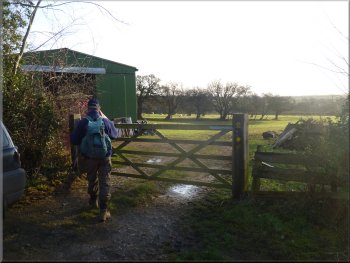
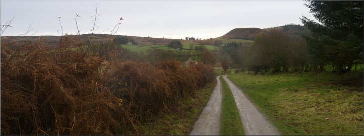
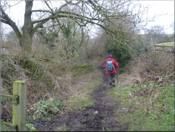
Start of the path across the fields from Kirkbymoorside
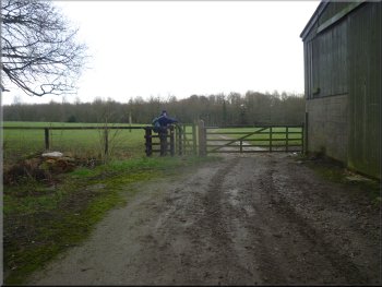
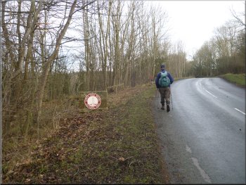
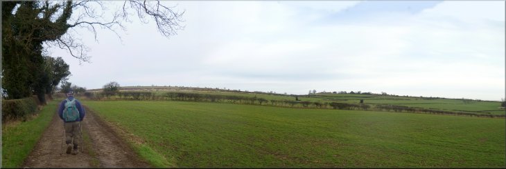
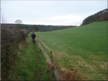
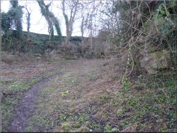
The road turned sharp right after about 100m and from the bend it's
called Old Road. After about 150m we turned left to walk along Swineherd
Lane. After about 500m at map ref. SE704866, we turned right off the
lane to follow a footpath across the fields, through some sheep pasture. |
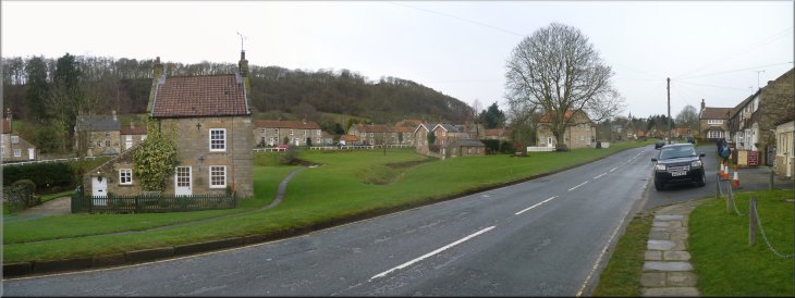
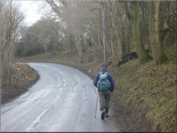
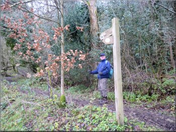
This morning Jim and I drove out to the little market town of Kirkbymoorside
on the southern edge of the North York Moors. We parked in the 'Pay
& Display' car park off the main street at map ref. SE695866. From
there we walked down the main street called Market Place just here and
then turned right along a side road called Howe End.
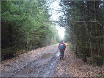
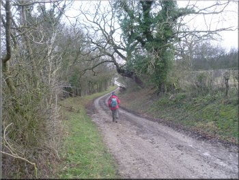
Swineherd Lane out of Kirkbymoorside
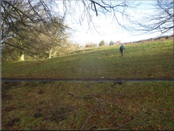
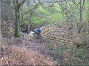
Crossing the fields from Kirkbymoorside
|
Crossing the fields from Kirkbymoorside |
Path down to the River Dove
I suggest that you take an old pair of trainers and a small towel.
Wear the trainers with no socks to cross the river and get dried and
put your boots & socks back on once you are across. You need comfortable
feet for walking! |
We followed the path down to the River Dove at map ref. SE709866.
Here the public footpath crosses the River Dove at a ford. There is
no bridge. It's only a small river fast flowing over a gravel bed, but
it's deep enough to get your feet wet and it's still near to the start
of the walk.
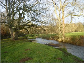
The River Dove crossing (no footbridge)
|
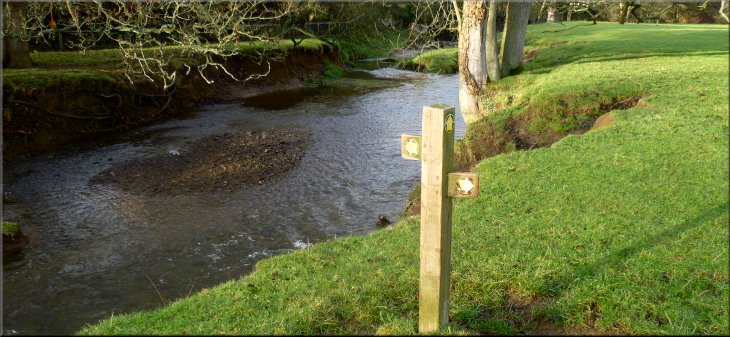
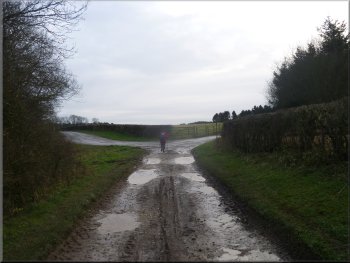
Site of the ford across the River Dove |
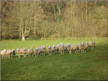
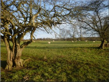
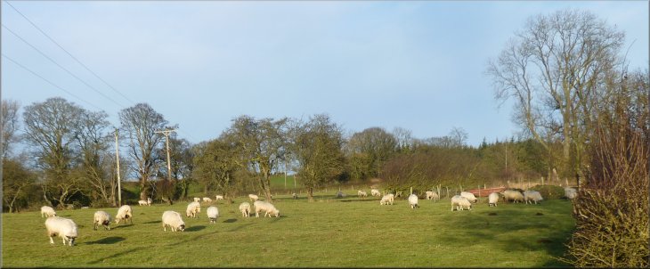
Flock of wary Texel ewes
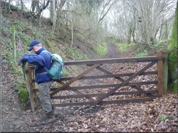
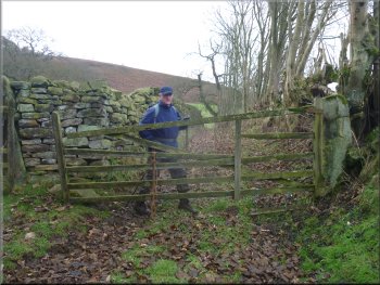
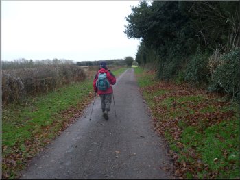
Gate out to the road, Grey Lane
Grey Lane heading towards Hutton-le-Hole
Path around Lingmoor Farm
Here the path skirts the northern side of the farm buildings and goes
along the hedge side at the edge of a field away from the farm. At the
end of the field there is a stile onto a grassy lane. Here there is
a notice indicating that the path from Lingmoor farm is being diverted
to the other side of the hedge. I could not see any obvious reason for
this. |
From the ford we climbed up the hillside to the road at the top of
the field. At the road, called Grey Lane, we turned left and walked
along the road towards Hutton-le-Hole for about 800m to a turning on
the right leading to Lingmoor Farm. We followed the public right of
way along the farm access road for about 800m to the farm.
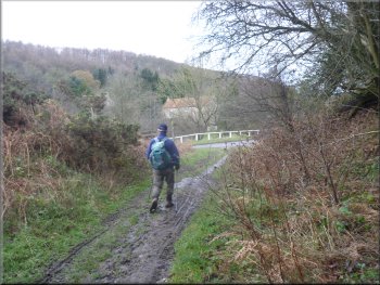
Climbing up from the River Dove to the road
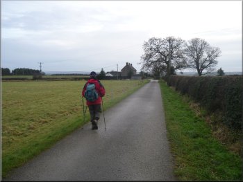
Road passing the National Park boundary
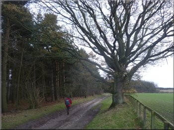
Access road to Lingmoor Farm
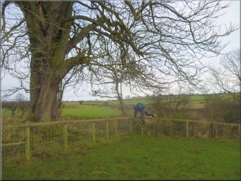
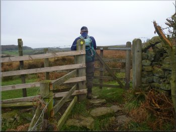
Stile to a grassy lane on the Tabular Hills route
|
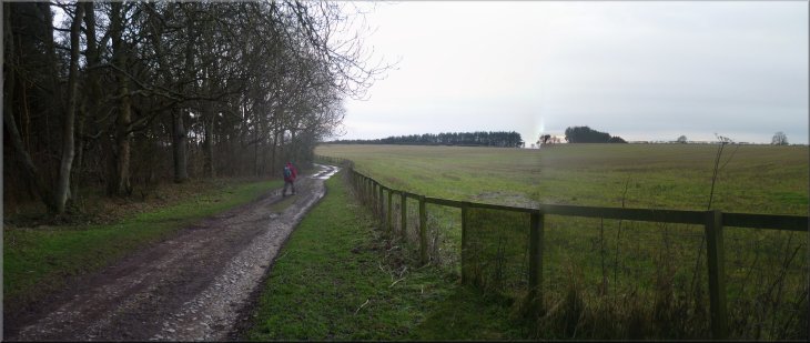
Tabular Hills route to Hutton-le-Hole |
Tabular Hills route to Hutton-le-Hole
Tabular Hills route to Hutton-le-Hole
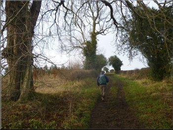
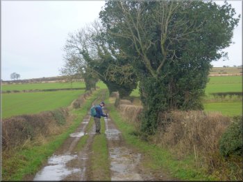
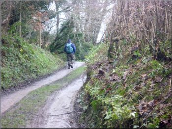
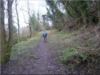
We walked along the grassy track, now called Bottomfields Lane, following
the Tabular Hills route for about 1.4km to the road into Hutton-le-Hole
at map ref. SE706896. |
The Tabular Hills walk goes along this lane and we will follow the
Tabular Hills route through Hutton-le-Hole to Gillamoor.
Tabular Hills route to Hutton-le-Hole
Tabular Hills route to Hutton-le-Hole
|
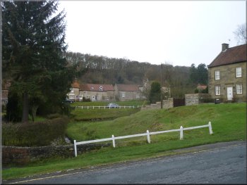
Entering Hutton-le-Hole
Hutton-le-Hole
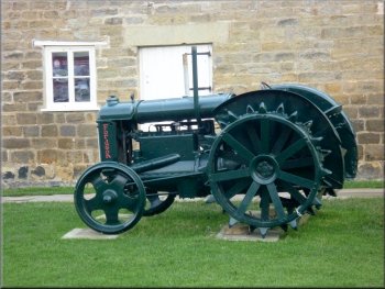
Tractor at the Ryedale Folk Museum
|
We planned to have a coffee in the village but everywhere was shut
so we continued through this very pleasant village to map ref. SE702902
where we turned left off the road to follow an old track across the
fields.
The church at Hutton-le-Hole
Leaving Hutton-le-Hole for Gillamoor
|
Part of the green at Hutton-le-Hole
The Tabular Hills route around The Nab heading towards Gillamoor
|
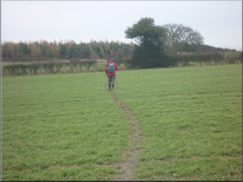
Heading towards Gillamoor
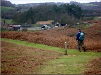
Passing Grouse Hall farm
Footbridge over a stream near Grouse Hall
From the footbridge we could see upstream what looked like a new weir
structure to control the flow into the mill race and so we speculated
that maybe someone is restoring the old mill? There were some Belted
Galloway cattle at the mill with their very wooly winter coats. |
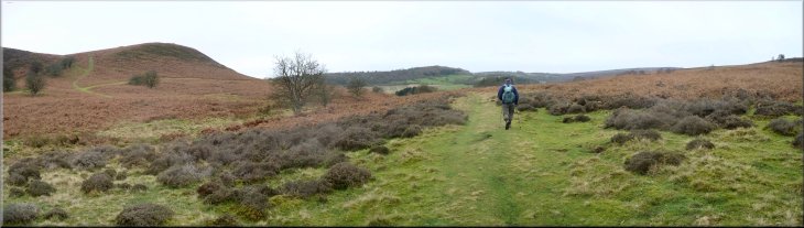
We followed this path around the foot of a bracken covered hill called
The Nab and continued along the Tabular Hills route past a large farmstead
called Grouse Hall and made our way down the slope to a footbridge over
the River Dove at Gillamoor Mill.
Heading towards Gillamoor
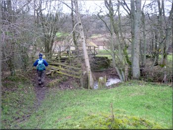
Footbridge over the River Dove at Gillamoor Mill
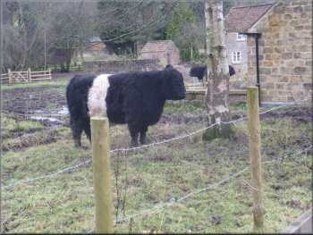
Belted Galloway cow at Gillamoor Mill
|
Looking back along the Gillamoor Mill access road to The Nab |
Heading away from Gillamoor Mill along the access road
Tabular Hills route up Low Bank to Gillamoor church
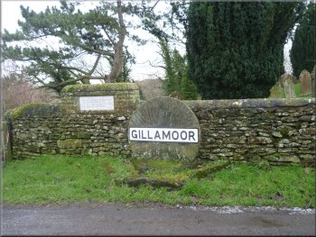
Village sign at Gillamoor church
This path climbed up the hillside on a track called Low Bank, to skirt
the back of the church in a rocky cutting on the edge of Gillamoor village.
|
Our route took us along the access road from the mill climbing up
towards the Gillamoor road. However before we reached the road, we turned
sharp left to continue along the Tabular Hills route.
Low Bank track up the hillside to Gillamoor church
Tabular Hills route up Low Bank to Gillamoor church
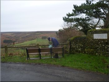
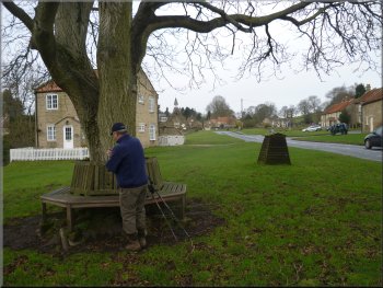
Our lunch stop by Gillamoor church
|
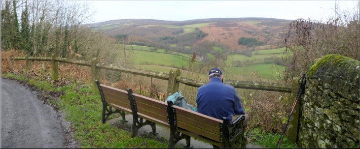
Our lunch stop at the view point by Gillamoor church |
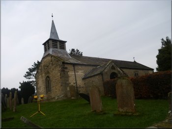
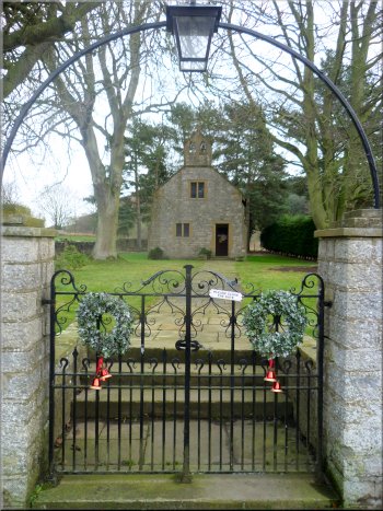
Gillamoor church
Here there is a bench to sit on and a lovely view over Lowna and up
the valley. |
We walked round the outside of the churchyard to the viewpoint next
to the church at map ref. SE683901.
Leaving Gillamoor for Kirkbymoorside
|
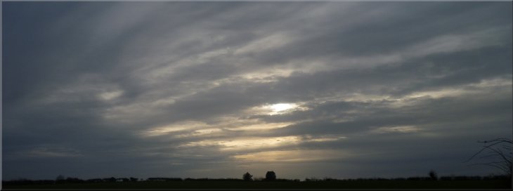
Already an evening sky shortly after 1.00pm |
Crossing several very muddy fields
Track through Hallgate plantation
The sticky mud made it quite heavy going until we reached a track
at map ref. SE691892. The track is called Hallgate Lane and we followed
it to Hallgate Plantation. |
From the church to took the path across the fields heading southeast.
There was a well marked path all the way. The arable fields did not
look to be muddy but lumps of very sticky soil clung to our boots.
Hallgate Lane heading towards Kirkbymoorside
Track called 'Back of Parks Road'
|
Track called 'Back of Parks Road'
|
Track called 'Back of Parks Road'
Access road leaving Low Park farm
We continued along the lane, now called Park Lane, for about a kilometer
back into Kirkbymoorside and the car park at the end of our walk. The
whole route had been 14km and it had taken us almost 5 hours to walk
including our lunch break. |
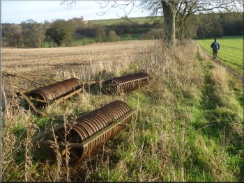
The track, now called Back of Parks Road took us through the plantation
and along the edge of the fields to map ref. SE701878. Here we turned
right to walk along the access road past Low Park farm on our right
and a little further on past Low Park Cottages on our left.
The turning to Low Park farm
Following Park Lane into Kirkbymoorside
|
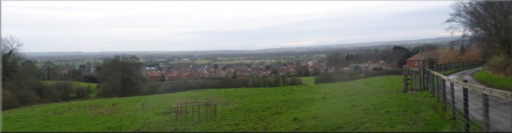
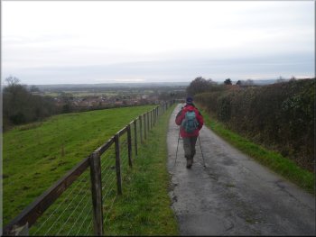
Looking over Kirkbymoorside from Park Lane |
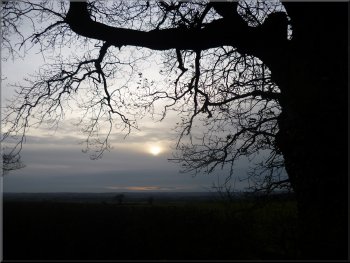
Winter sun in the early afternoon |
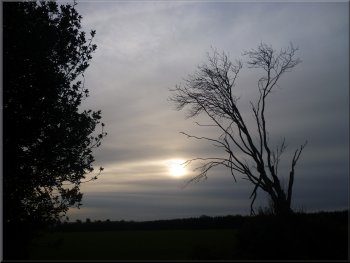
Winter sun in the early afternoon |