Looking east back to Newport Sands from the seat on the headland
This week my wife and I are staying in a holiday cottage on the Pembrokeshire
Coast a couple of kilometers east of Fishguard. After a wet day yesterday
when we visited Cardigan the weather forecast for today predicts a fine
bright day. Yesterday afternoon we called at the tourist information
office and got details of the bus, route number 412, from Fishguard
along the coast. I suggest that you park at the view point car park,
map ref, SM962375. This is off the coast road, A487, up the hill about
500m from the harbour at Fishguard Lower Town (not the main Fishguard
Harbour at Goodwick). This morning we caught the bus from the roadside
near our holiday cottage about 1.5km east of the view point car park.
(the buses stop anywhere along the coast road by request, just stick
your arm out!). |
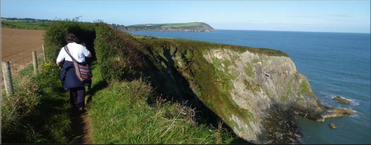
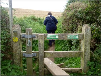
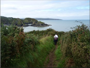
Setting off from the sea front car park at Newport
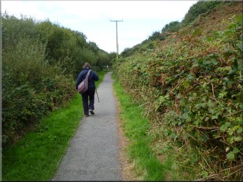
Coast path at Perrog, Newport
Path to the cliff top on Careg Germain
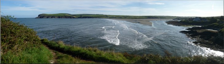
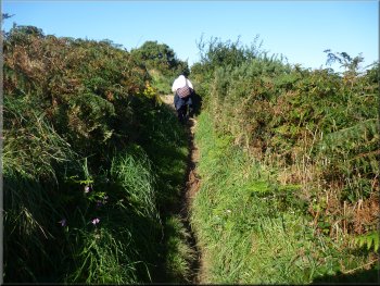
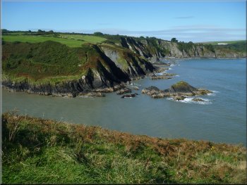
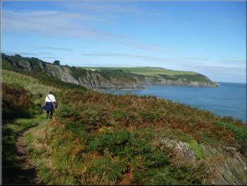
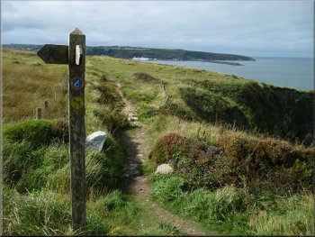
The Pembrokeshire Coast Path is a National Trail and like all the National
Trails it is marked on the OS Explorer series of maps by green diamonds
at about 1cm intervals on the map. For the first 600m the path followed
the edge of the shore at the same level as the shore, but then the path
began to climb up a rocky headland with a seat looking out over Newport
bay and Newport Sands. It was low water and the sunlight glistening
on the wet sands and the headland on the far side of the bay all looked
absolutely beautiful. |
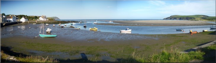
We traveled to Newport (Trefdraeth) by bus, a journey of only about
15mins. From the bus stop we walked back along the road for about 100m
and then turned right to follow a minor road down to the car park at
the beach, map ref. SM051396. We stopped and just looked at the scenery
of the bay for a few minutes and then we set off along the Pembrokeshire
Coast Path back towards Fishguard.
Coast path at Perrog, Newport
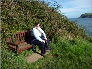
A seat to enjoy the view across Newport Sands
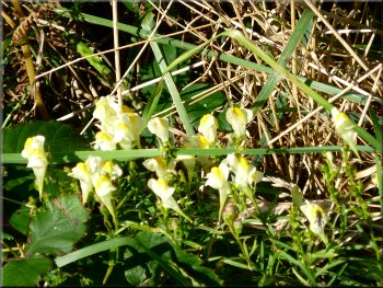
Common toadflax by the path
|
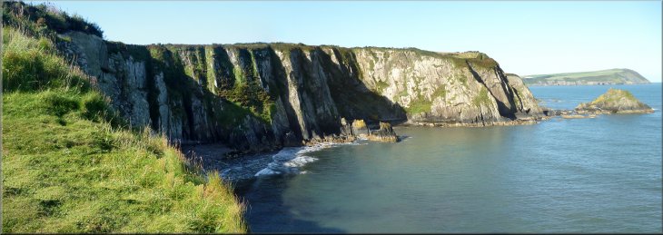
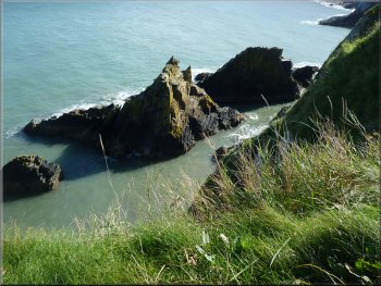
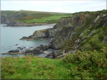
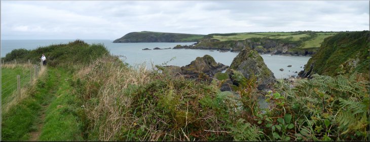
Careg Germain from the coast path
Heading for Aber Rhigian along the Coast Path
|
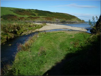
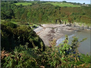
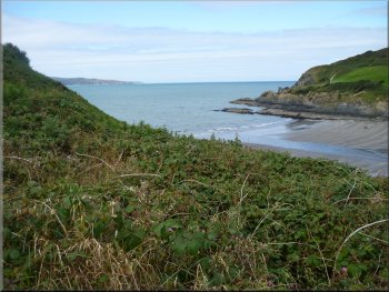
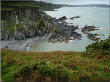
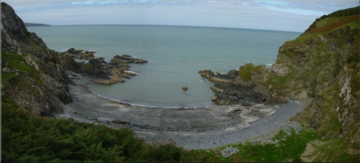
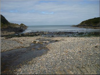
The beach at the inlet called Aber Rhigian
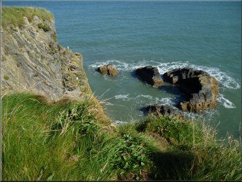
Rocky coast approaching Aber Rhigian
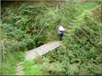
Here the path dropped down from the cliff tops to beach level to pass
the head of the inlet. |
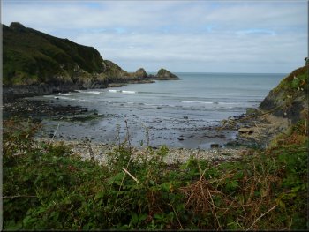
We continued along the coast path for a little over a kilometer from
the seat to a deep rocky inlet called Aber Rhigian.
Rocky coast approaching Aber Rhigian
The inlet at Aber Rhigian and the rocky coast beyond
|
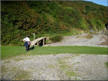
Heading along the cliff top to Aber Fforest
Path down to the beach at Aber Fforest
Here again we dropped down to beach level to pass the head of the inlet
and then climbed up the steep path to the top of the headland. |
Then the path climbed back to the cliff top and continued around
the rocky headlands for another 800m to the next deep inlet called Aber
Fforest.
Looking down to the beach at Aber Fforest
Start of the climb up from Aber Fforest
|
Looking back across the inlet at Aber Fforest
Path to the road into Cwm-yr-Eglwys
At the road we turned right still following the route of the coast
path down the hill to the sea front again. |
The path then followed the cliff tops for almost 1km to a minor road
at map ref. SM017398.
Heading towards Dinas Island on the Coast Path
Path through a caravan site leaving Cwm-yr-Eglwys
|
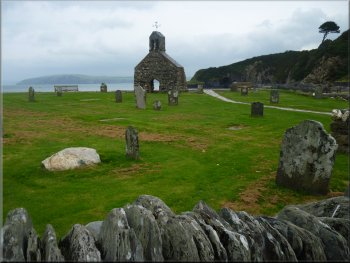
The ruined church at Cwm-yr-Eglwys
The plaques on the site explain that the church was destroyed in the
great storms of autumn 1859 in which the ship the Royal Carter was lost
along with many of the coastal trading brigs in use at that time. |
At the sea front in the hamlet of Cwm-yr-Eglwys there are the remains
of a ruined church. Only the gable end with the bell mount remains with
the gravestones in the churchyard.
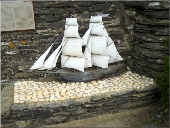
Model of a coastal trading brig at the time of the storms
|
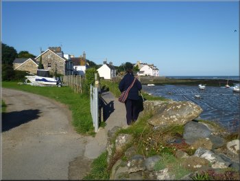
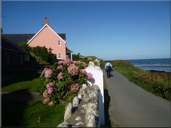
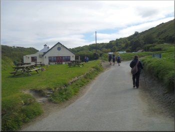
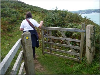
Wheelchair friendly path by-passing Dinas Island
Then we walked a circuit of Dinas Island, route
No 485, as our introductory walk when we arrived at our holiday
cottage at the weekend. We followed the road past the pub, The 'Old
Sailors' said to date from the end of the 1500's. |
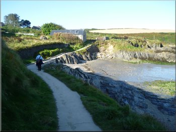
From the ruined church we a short cut across the neck of Dinas Head
along the wheelchair friendly path for about 1km the beach at Pwllgwaelod
which means 'The Bottom Cove' in English. We had already parked here
on Sunday 9 September 2012.
Road past The Old Sailors Inn at Pwllgwaelod
|
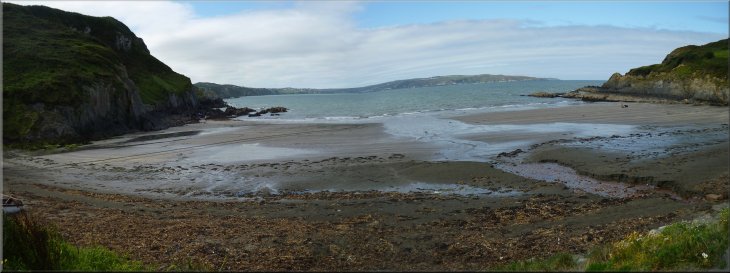
The beach at Pwllgwaelod |
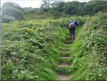
Path up to the cliff top from Pwllgwaelod
Coast Path along the cliff top
Looking back along the rocky coast to Pwllgwaelod
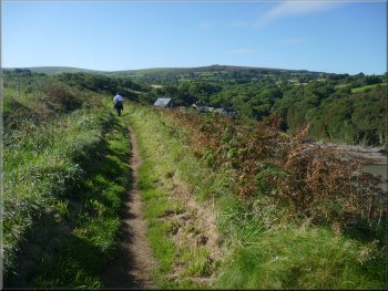
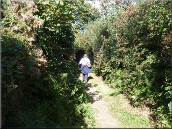
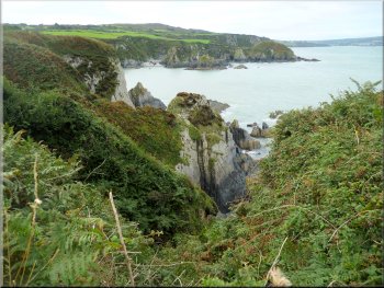
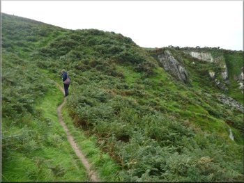
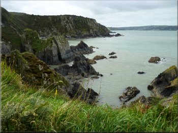
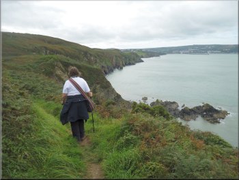
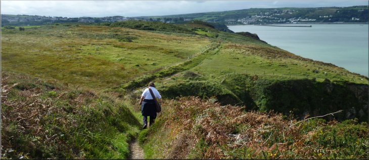
For the most part the path is high up above the sea on the cliff tops
with views up and down to coast to the rocky headlands and coves. I
have run out of superlatives to describe it all. |
Just past the pub the path turns off the road and climbs up to the
cliff tops again. All the way along this walk the coastal scenery is
amazing.
The inlet at Pwllgwaelod from the Coast Path
Coast Path along the cliff top
Scenery from the Coast Path heading for Aber Bach
|
Another rocky cove seen from the Coast Path heading for Aber Bach
|
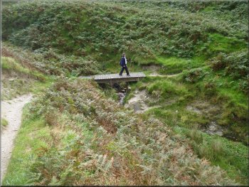
Crossing one of the many gullies that cut through the cliffs
View from the Coast Path near Aber Bach
Path down to the beach at Aber Bach
Yes you've guessed it! The path drops down to beach level around the
head of the inlet. |
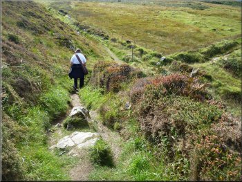
From Pwllgwaelod the path follows the cliff tops for almost 2km to
a long inlet called Aber Bach.
Climbing out of the gully
Crossing another gully
The beach at Aber Bach
|
The beach at Aber Bach
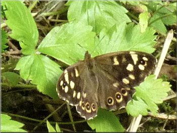
Speckled Wood butterfly by the path
We climbed up the road for about 100m and took the coast path off to
the right back to the cliff top. |
From the inlet this time the path heads inland for about 100m to
a hairpin bend on a minor road at map ref. SM996384.
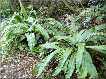
Harts tongue ferns as we climbed up to the road
Joining the road and a steep climb round a bend
|
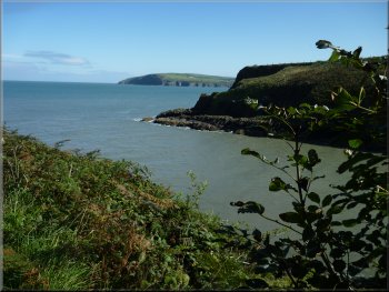
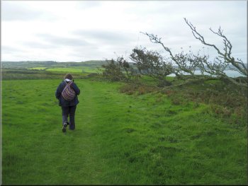
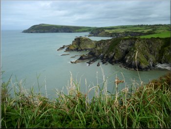
Looking north east along the coast from the cliff top path west pf Aber
Bach |
Views from the path heading for Penrhyn
Coast Path heading for Penrhyn
Cliff top path to the caravan site
Crossing the caravan site on the Coast Path
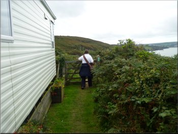
The coast path crosses the caravan site and leaves by a narrow path
down the side of one of the static caravans. |
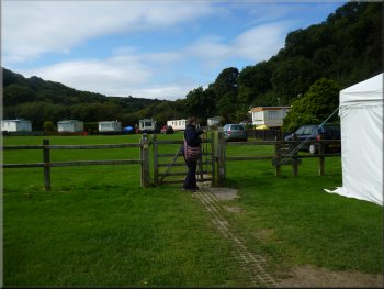
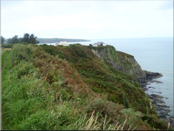
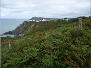
We continued along the cliff tops for another 2km to a large caravan
site at Penrhyn. This is the Fishguard
Bay Caravan & Camping Park.
Views from the path heading for Penrhyn
Buildings on the cliff top at the caravan site
Entering the caravan site on the Coast Path
Leaving the caravan site on the Coast Path
|
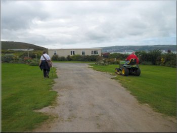
Heading to Fishguard from the caravan site
Looking back to the caravan site at Penrhyn
Coast Path heading for Fishguard
After about 1km we turned off the coast path on a footpath that led
directly back to our holiday cottage. (Brilliant, no car all day) To
complete the walk you need to continue along the coast path for another
1.5km back to the view point car park where I suggested you could get
the bus this morning. |
We continued along the coast path and we could see the large white
ferry from Rosyth heading towards Fishguard Bay. As we walked the ferry
progressed steadily towards the harbour and tied up alongside the quay.
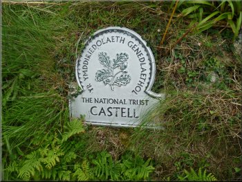
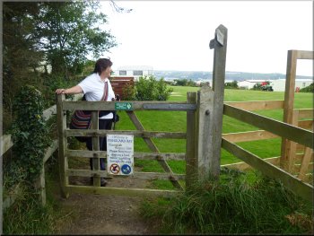
Part of the coast is owned by the National Trust
Coast Path heading for Fishguard
We turned off the Coast Path here to our cottage
|
Coast Path heading for Fishguard
Top of page
|