| 2001 walks | 2002
walks | 2003 walks | 2004
walks |
| 2005 walks | 2006
walks | 2007 walks | 2008
walks |
| 2009 walks | 2010
walks | 2011 walks | 2012 walks |
| 2013 walks | 2014 walks | 2015 walks | 2016 walks |
| 2017 walks | 2018 walks | 2019 walks |2020 walks |
| 2021 walks | 1993-2000 library | Find a Route Index |
| A few Routes to print out | Request a Route... |
Route No. 502 - Thursday 21 March 2013
Darley Bridge, Darley Beck, Padside Beck,
Dike Lane, Monk Ing Road, Quaker Burial Ground,
Dacre, circuit - 11km Nidderdale . . .
This is the 'Dacre
Walls Walk' published by Dacre Parish Council
Route map from Ordnance Survey
Open Space service.
Map: OS Explorer 298 Nidderdale at 1:25000
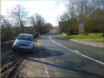
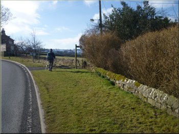
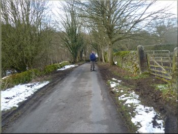
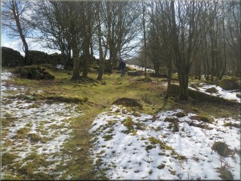
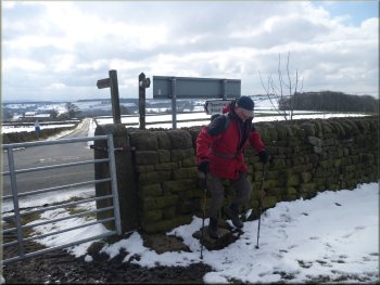
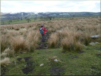
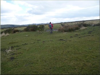
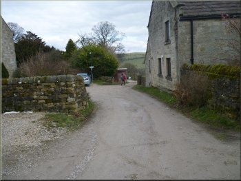
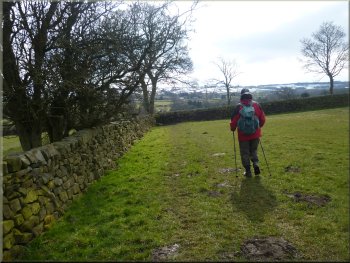
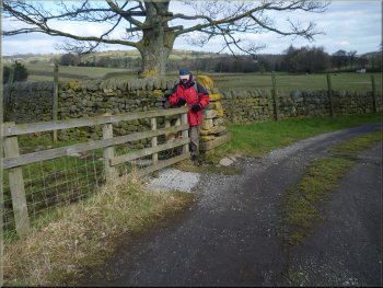
Our parking spot at Darley Bridge
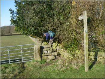
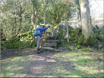
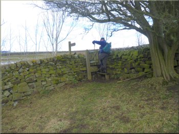
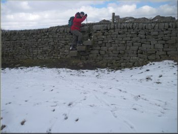
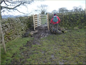
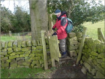
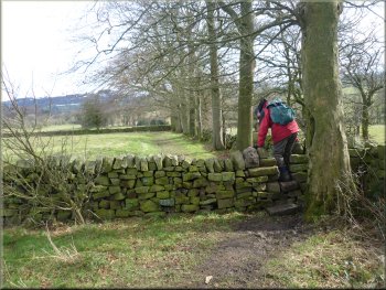
Stone step stile into the field
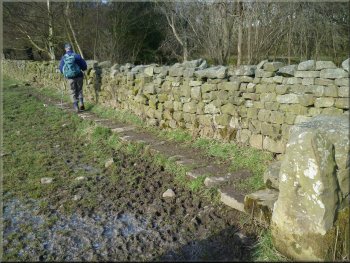
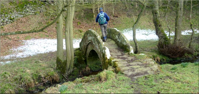
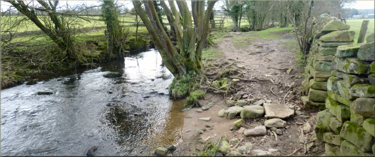
Stone causeway next to the wall
There was just room for us to squeeze on the end next to the bridge.
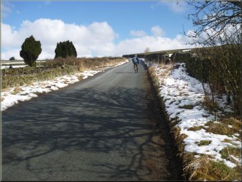
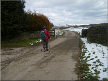
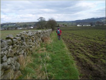
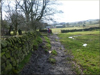
From there we walked south along the road past the mill centre for about
200m to a left hand bend in the road. At the start of the bend we turned
right off the road to follow a path along the field edge. After about
200m we came to a footbridge over Darley Beck on our right. We crossed
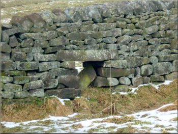
the bridge and on the other side of the beck there was a stone wall
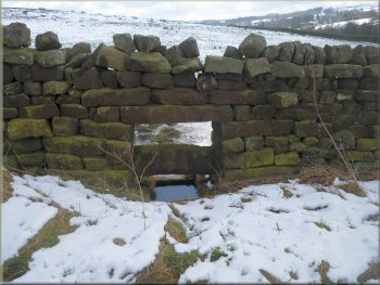
with a stile out to a path across the fields. The wall had stone slots
built into its base to allow the flood water to pass underneath when
the beck was in spate. |
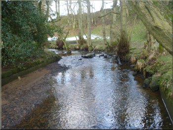
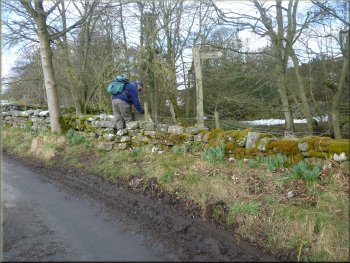
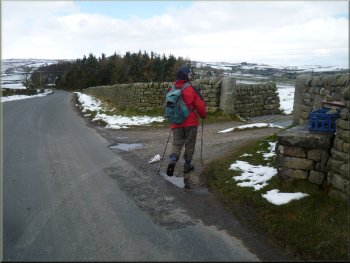
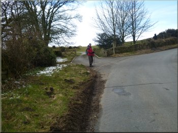
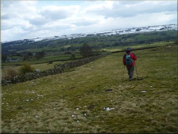
Our plan this morning was to park in a little informal muddy lay-by
off the B6451 opposite the Darley Mill Centre at map ref. SE193598 next
to the bridge over Darley Beck, about 1km south of Dacre. We planned
to walk 'The
Dacre Walls Walk', a route published by the Dacre Parish Council
and also the Nidderdale AONB. This route through the fields of Nidderdale
illustrates the skills of the dry stone wall builders of the area and
the leaflet include details of the features to look out for. When we
arrived at the lay-by most of it was taken up by a contractor working
on the local gas mains.
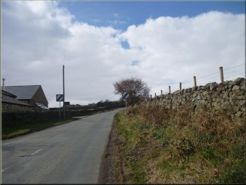
Our turning off the B6451 near Darley Mill
Path following the wall down the field
Footbridge over Darley Beck
|
Slots under the wall to allow flood water from the beck to drain away |
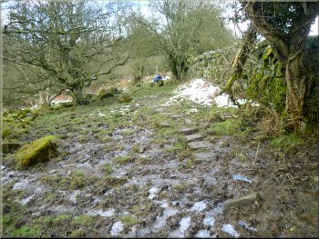
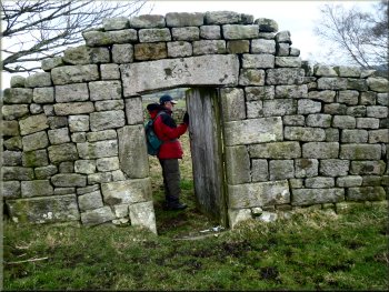
Stone steps up to a squeeze stile
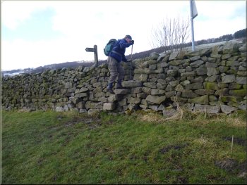
Stile on to the road near Oxen Close Farm
Path up to the wood from Oxen Close Farm
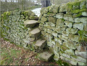
A cross-section of a typical dry stone wall
At the road we turned left to walk along the road for about 150m to
turn right off the road opposite the entrance to Oxen Close farm. We
followed the path alongside the stone wall climbing up the hillside
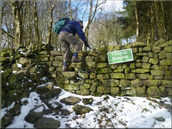
to a wood at the top. There's a large sign on the wall proclaiming 'Campsite
Boundary'. This turns out to be the boundary of the Thornthwaite
Scout Campsite & Activity Centre. |
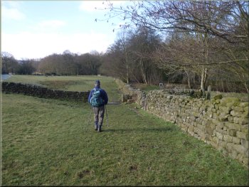
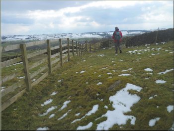
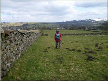
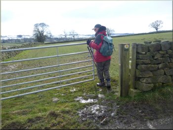
We followed the path along the edge of the fields to a minor road
at map ref. SE185595. The fields were all enclosed by dry stone walls
and at each boundary there was a stone step site built into the wall.
The steps consist of very large stone that pass through the wall to
provide a step on both sides, quite a substantial construction.
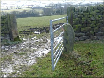
Poles slotted into this stone and it's pair to make a gate
Turning off the road opposite Oxen Close Farm
Path up to the wood from Oxen Close Farm
Entering the wood at the top of the hill
|
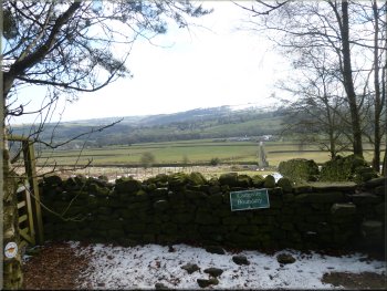
Looking back across Nidderdale
|
Woodland path heading for Carr Lodge Farm
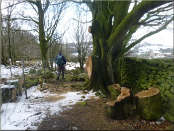
Woodland path heading for Carr Lodge Farm
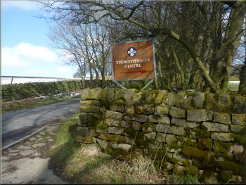
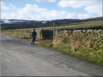
Scout campsite sign at the road
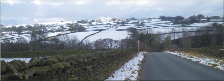
The road down to Padside Beck
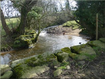
At the road we turned left and walked along the road down hill round
a long right hand bend to cross the beck at the bottom. Below the road
this is Darley Beck but upstream of the road it's called Padside Beck.
|
We continued through the woodland and dropped down across a particularly
wet field and paddled the last bit to join a stone farm access road.
This led us out to a minor road with a sign to the scout campsite.
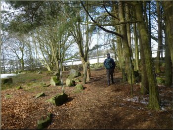
Woodland path heading for Carr Lodge Farm
Track out to the road near Carr Lodge farm
A cripple hole for sheep to pass,
closed by a board when not in use
Padside Beck from the road
|
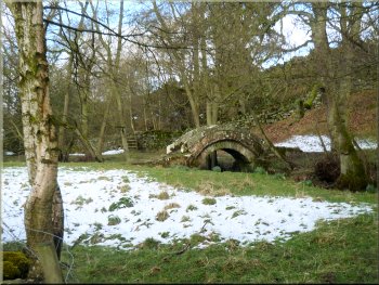
Pack horse bridge over Padside Beck
Pack horse bridge over Padside Beck
Woodland path above Padside Beck
Woodland path above Padside Beck
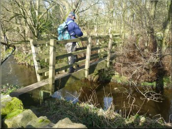
We crossed the bridge and followed the path through the woodland heading
upstream above the beck. After about 500m we came to a minor road at
map ref. SE169597, where we turned right to walk along the road. |
We crossed the beck and about 25m beyond the beck is a stile on the
right hand side of the road to a path leading to a wonderful old pack
horse bridge over the beck. It's one horse wide with low parapets that
would not interfere with the horses pack and panniers.
Turning off the road to the pack horse bridge
Stone step stile on the path heading upstream
Muddy woodland path above Padside Beck
Stile on to the road above Padside Beck
|
View back down the road towards Harper Bridge over Padside Beck |
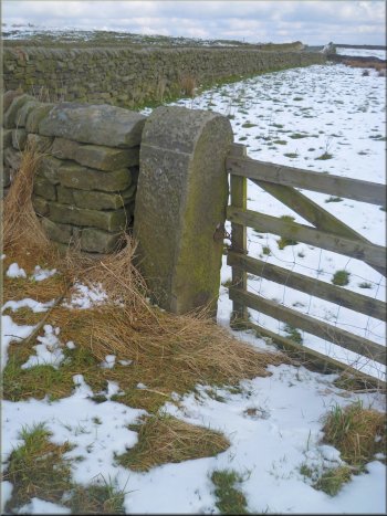
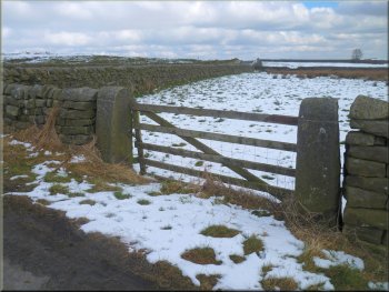
Round top dressed stone gate posts on the estate boundary
At the junction there is a gateway with dressed stone gate posts with
rounded tops and carefully tooled panels on the sides. The Dacre Walls
Walk leaflet explains that these mark the boundary of the old Ingleby
Estate in the 1800's. |
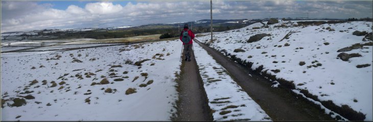
The road climbed up to a junction at map ref. SE174601. Along the
road there were a mixture of rough stone gate posts and some that had
a rounded top.
Water trough built into the wall for stock on both sides
Round top dressed stone gate posts on the estate boundary
Round top dressed stone gate posts on the estate boundary
|
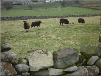
Our turning off the road to cross some boulder strewn open land
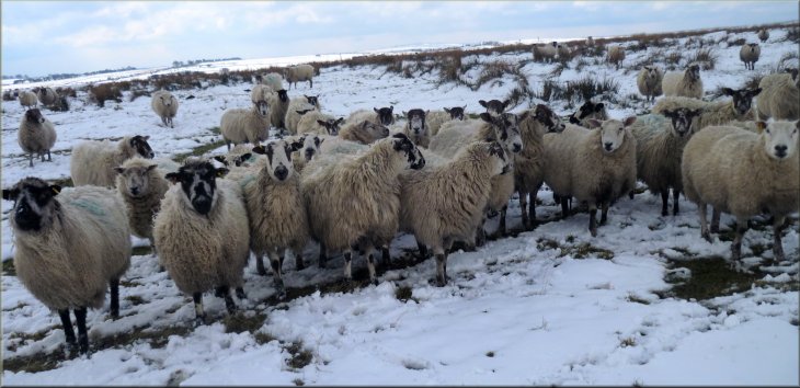
Sheep hoping we had come to feed them
|
Setting off over the open land
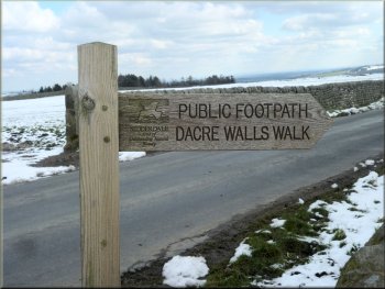
Sign marking the 'Dacre Walls Walk'
We made our way across this area followed by a flock of hungry sheep
to a stile on to a road at map ref. SE174607. We crossed the road and
walked along the farm access road towards Pasture Side farm. |
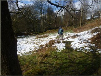
At the road junction we turn left off the road to cross a boulder
strewn area of open land. There was a thin covering of snow and there
was no discernable path.
Leaving the open land to cross the road
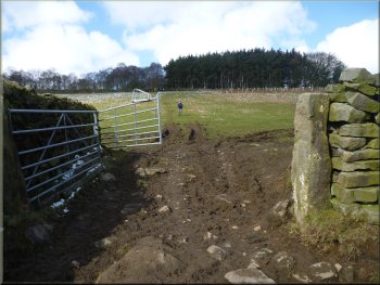
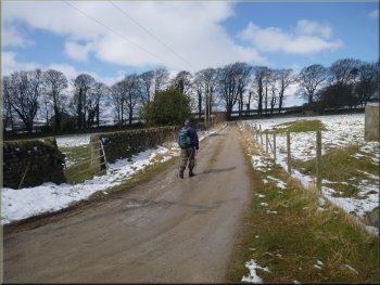
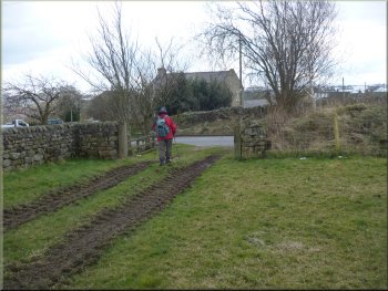
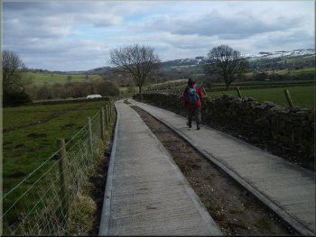
Start of the access road to Pasture Side farm
|
Access road to Pasture Side farm
Start of path to the left around the northwestern side of Pasture Side
farm
|
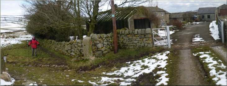
New tree planting next to Pasture Side farm
Leaving Monk Ing farm along Monk Ing Road
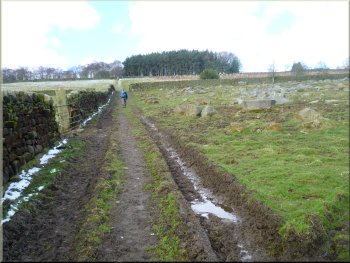
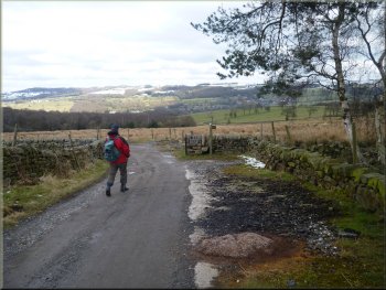
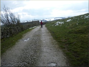
We followed the track past Monk Ing farm and continued along the track,
now a farm access road called Monk Ing Road. We another farm access
road called Lane Foot Road where our route joined the Nidderdale Way
route. We continued along Monk Ing Road following the Nidderdale Way
to a bend at map ref. SE184616. |
On my map the path appears to skirt the southeastern edge of the
farm buildings, but in fact the path on the ground goes round the northwestern
side of the buildings. There is a white arrow on a green background
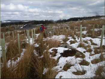
fixed to a telegraph pole at the farm entrance to indicate the route.
Just beyond the farm we passed through an area of new tree planting
to a gravel track by a pond.
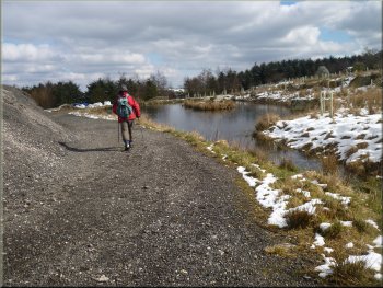
Pond by the path approaching Monk Ing farm
Turning right off the road
|
Following Monk Ing Road |
Very wet field covered with marsh grass
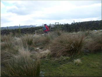
Crossing another marshy field
Squeeze stile turning down towards Dacre
Reaching the road above Dacre
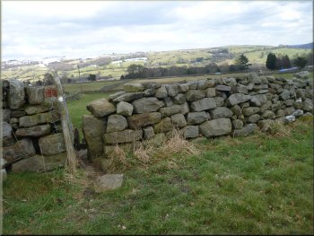
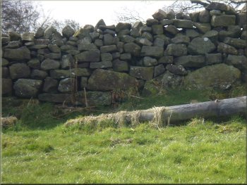
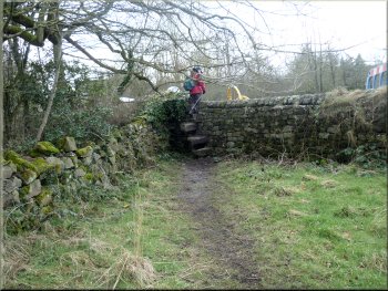
As we approached Dacre our path turned left through a squeeze stile
down the slope. Once through the site we looked back at the wall and
just as the Dacre Walls Walk leaflet described the wall was of a different
character to the general run of field walls hereabout. There were much
larger stoned in the base of the wall and it's construction had a more
random appearance. This wall is said to date from the 1500's. We followed
the path out to the road at map ref. SE190609. |
Here we turned off the road the right to continue along the Nidderdale
Way down a very wet field covered with marshland cotton grass. About
200m from the road we turned right away from the Nidderdale Way and
made our way through a pair of stone gateposts in a collapsed stone
wall. We continued along a path at the edge of the fields heading in
a southeasterly direction. A long stretch of wall on our left had been
repaired with new pedestrian gates installed and work to complete all
this was still in progress.
Stone gate posts in a collapsed wall
One of several pedestrian gates being installed
1500's random stone wall built on large boulders
Climbing up the road away from Dacre
|
Turning towards the Quaker Burial Ground
Path to the Quaker Burial Ground
'Zwartbles' Sheep by the Quaker Burial Ground
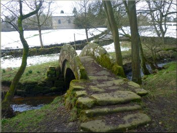
Through the gate is an information board about the Quaker Burial Ground.
We walked down the slope past the information board to a doorway, dated
1685, that led us into the enclosed burial ground. There was a seat
here and we sat for a while in this tranquil spot looking across Nidderdale.
|
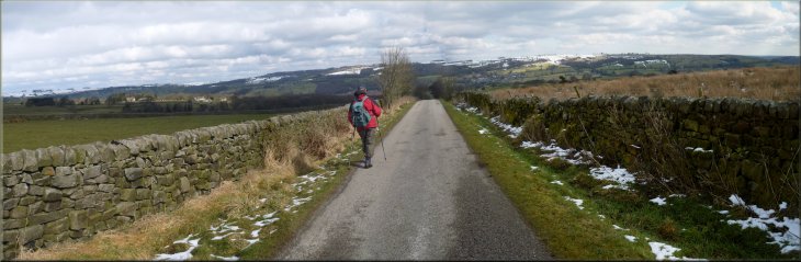
Here we turned right and walked up the hill along the road for about
500m to a right hand bend in the road. On the crown of the bend we turned
left onto an access road. After about 250m we came to some houses on
our left . The path led us up a grassy bank to by-pass the houses to
a gate in the wall on our left just beyond the houses.
Access road towards the Quaker Burial Ground
Path to the Quaker Burial Ground
Entrance to the Quaker Burial Ground
|
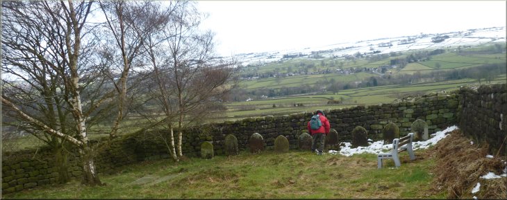
The Quaker Burial Ground above Dacre |
Returning from the Quaker Burial Ground
Following the path down to Dacre
We followed the path down the hillside to the back garden of a house
in Dacre village. The public right of way goes through this garden and
out to the road in Dacre at map ref. SE192607. |
Then we retraced our steps to the houses and took a path through
a stile from the access road at the houses into the fields.
Following the path down to Dacre
Path from a garden to the road in Dacre
|
Turning on to the access road to Pyefield House |
The access road to Pyefield House
Path by-passing Pyefield House
Path from Pyefield House down to Darley Beck
We turned off the access track on to a path across the fields and
drops down to Darley Beck at map ref. SE199601. |
We crossed the road and followed the farm access track towards Pyefield
House. About 200m before the access track reaches the house our route
turns right.
The access road to Pyefield House
Path by-passing Pyefield House
Path from Pyefield House down to Darley Beck
|
Darley Beck where our path meets it |
Path across the fields to Low Hirst Farm
Joining an access track at Low Hirst Farm
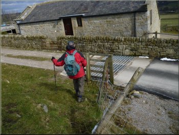
It had taken us around four and a half hours to walk including many
photo stops and a very pleasant sit at the Quaker Burial Ground. We
took off our muddy boots and went across to the cafe at the Darley Mill
Centre for a coffee and toasted tea cake to round off the walk. |
We followed the path across the fields past Low Hirst Farm to a stile
through the wall by Darley Bridge back to the lay-by next to our car.
The whole walk had been 11km.
Darley Beck near Low Hirst Farm
Stile to the lay-by at the end of the walk
|
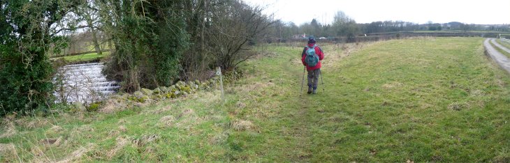
Passing a weir on Darley Beck near the end of our walk
|
Background Notes:
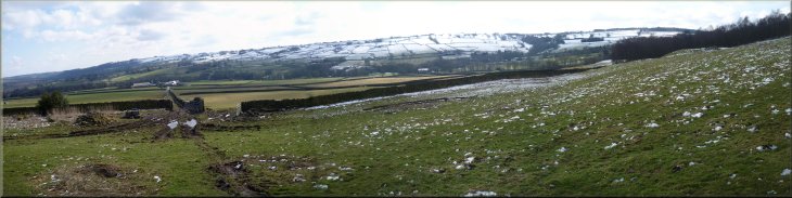
These days we are used to things being pretty much 'in your face', but the countryside isn't like that. Usually things in the countryside are understated and you have to look out carefully to notice things including wild flowers, wildlife in general and the man made artefacts that all go together to make up our countryside. This 11km circular walk is all about those lovely drystone walls that are such a feature of the Yorkshire Dales landscapes.
Recently I came across a leaflet published by the Dacre Parish Council and the Nidderdale AONB, which details a route to walk around the village of Dacre near Patley Bridge. It's called 'The Dacre Walls Walk'. It's a circular walk of 11km, about six and a half miles. The leaflet describes the features of the walls to look out for along the way. The walk starts near the Darley Mill visitor centre and follows Darley Beck upstream across the fields.
The walls here are typical of the field boundary walls built around 200 years ago and you will soon get to know the stone slab step stiles at each field edge. The route veers away from the beck and climbs over the hill top where there is the Thornthwaite Scout Camp Site and Outdoor Centre. From there we drop back down to Darley Beck except that here it has changed its name to Padside Beck.
We cross the beck on an ancient stone pack-horse bridge. It's just wide enough for a horse and the parapet walls are quite low so as not to interfere with the packs and panniers that the horses carried. Two or three hundred years ago strings of 20 or 30 pack-horses were the main means of transport for goods across the country and its interesting to try to imagine a string of pack-horses crossing this little bridge in those times.
The route follows Padside Beck upstream through some very pleasant woodland to a minor road where we turn right to walk along the road for a while. As we climb up from the beck the road side wall is different to the general field boundaries we passed earlier. Here the stones have been roughly squared off and give a more coursed appearence to the wall and the gate posts have been roughly dressed with semi-circular tops. After about 700m we reach a road junction and on the right at the junction are a pair of gate posts which that have been carefully dressed with semi-circular tops and toolled sides. These roadside walls and gateways were the boundray of lands managed by the Ingleby Estate in the 1800's.
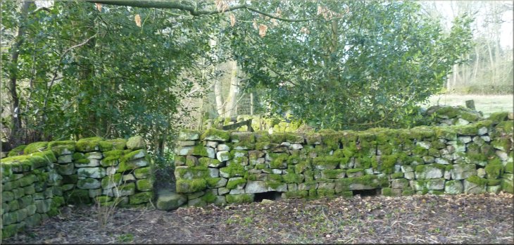
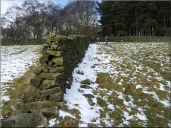
From the road Junction we cross some boulder strewn open land and then follow a farm access road to join the route of the Nidderdale Way for a few hundred metres, before dropping down across the fields towards Dacre. Just before reaching the village the path turns left to drop down from a higher field through a squeeze stile in the wall to a lower field, and it's worth stopping here to look back at the wall from the low side. The wall is founded on a series of large boulders and the wall construction on top of the boulders is much more random that other walls along our route. The leaflet explains that this section of wall is a remnant of a field boundary dating from the 1500's.
From the edge of Dacre we climb up the hillside to an old Quaker Burial Ground in a walled enclosure over looking Nidderdale. The entrance is through a door in a tall stone wall with the date 1682 over the door. It's a tranquill spot with a seat to spend a few quiet moments before continuing the walk through Dacre. The walk leaflet describes other features of the dry stone walls to lookout for including a cripple hole, and stang stoups but you'll have to do the walk to find out what they are. The route continues across the fields to rejoin Darley Beck and then follows Darey Beck upstream, back to our starting point and the end of this week's walk.
top of page
|