| 2001 walks | 2002
walks | 2003 walks | 2004
walks |
| 2005 walks | 2006
walks | 2007 walks | 2008
walks |
| 2009 walks | 2010
walks | 2011 walks | 2012 walks |
| 2013 walks | 2014 walks | 2015 walks | 2016 walks |
| 2017 walks | 2018 walks | 2019 walks |2020 walks |
| 2021 walks | 1993-2000 library | Find a Route Index |
| A few Routes to print out | Request a Route... |
Route No. 505 - Thursday 11 April 2013
Delamere Forest visitor centre, Blakemere Moss,
Sandstone Trail, Pale Heights circuit - 9km
Cheshire . . .
Route map from Ordnance Survey
Open Space service.
Map: OS Explorer 267 Northwich & Delamere Forest
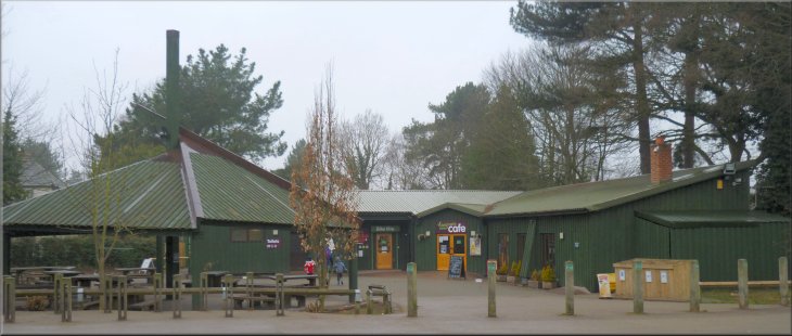
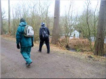
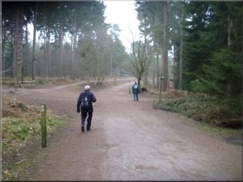
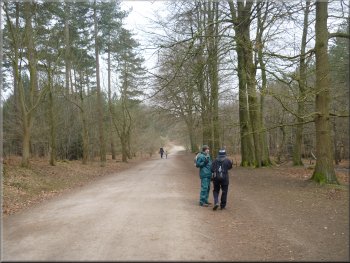
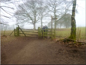
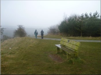
Our starting point at the visitor centre in the Delamere Forest at map ref. SJ547704
|
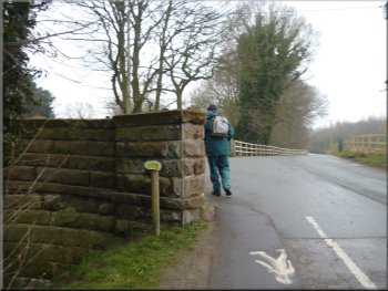
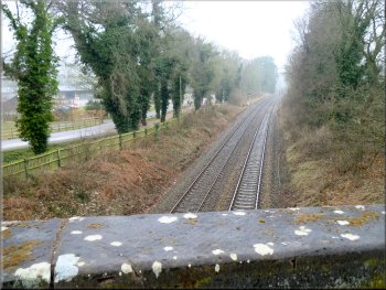
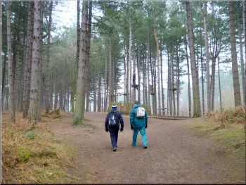
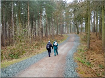
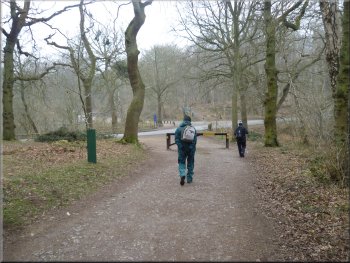
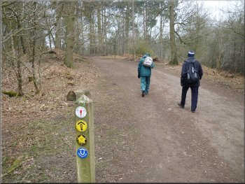
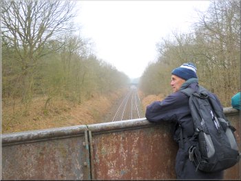
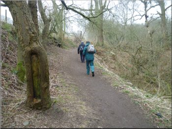
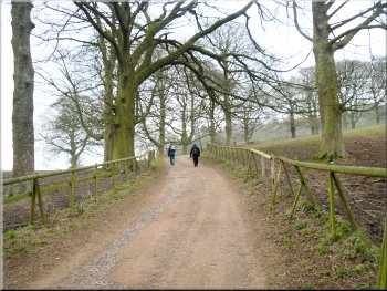
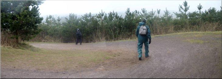
Turning off the road to cross the railway bridge
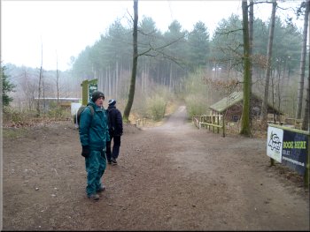
Path through the aerial adventure site
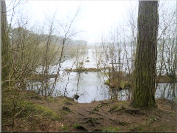
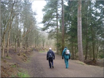
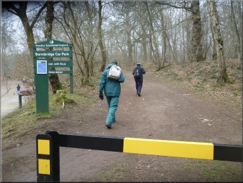
It was a dull, misty day today as we drove to the visitor centre in the Delamere Forest by the railway
about 600m off the B5152 at map ref. SJ547704. The forest of owned and managed by the Forestry Commission as a recreational area and there is
open access for the public. From the visitor centre car park we walked East, back along the road for about 250m and then turned left to cross the
road bridge over the railway. Once across the railway we turned right to follow a well walked path through a tree top adventure area. |
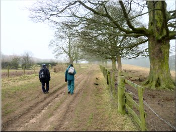
Over the last few years a family tradition has grown up whereby my wife and I and her two sisters and their husbands all have a Spring break together.
This year we are staying near Tarporley in Cheshire and today we three brothers-in-law are walking in the Delamere Forest and the three sisters are
going to visit various tourist attractions in the area.
Looking along the railway from the bridge
Broad track heading down to Blakemere Moss
|
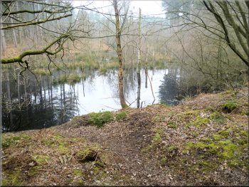
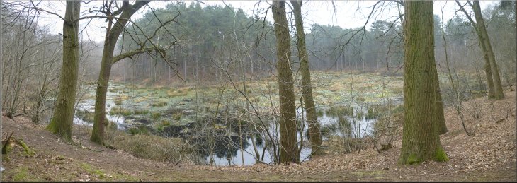
Wide track along side Blakemere Moss
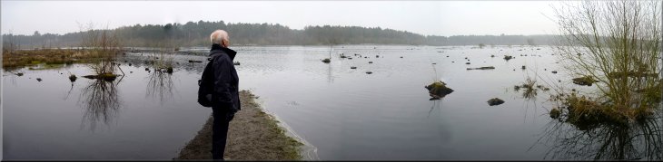
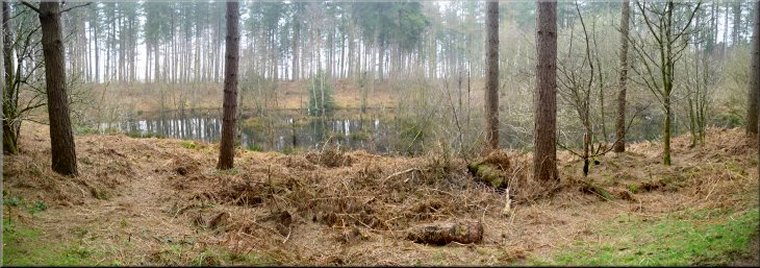
Looking across Blakemere Moss with vegetation protruding from the shallow water over the marshland
|
The marshy edge of Blakemere Moss
The marshy edge of Blakemere Moss
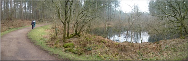
At the lakeside
track we turned left to follow the track around the edge of the lake. There is a waterlogged strip of woodland between the track and the open water
and there are few open views of the water. We followed the track along the shore of Blakemere Moss heading roughly North West for about 1.5km to the western end of the wetland area. |
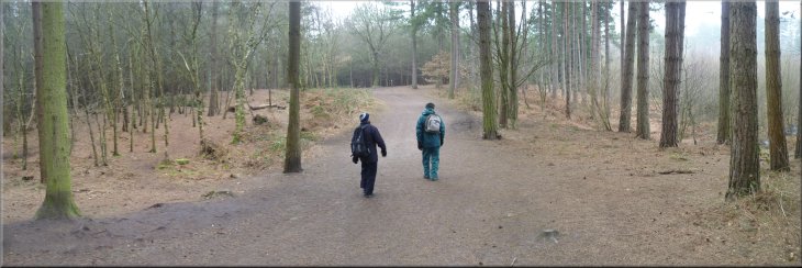
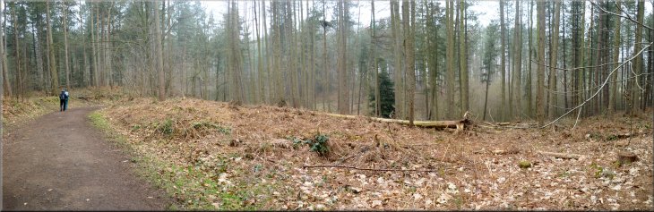
After about 400m
our broad path through the forest joined an even wider stony track at the edge of Blakemere Moss. This looks like a large lake but it is in fact a
flooded marshland with quite shallow water. It's an ideal habitat for all those insects that have an aquatic larval stage, particularly dragon fly and
damsel fly. The area is especially renown for a population of dragon fly called a white faced darter that is extremely rare elsewhere.
The track along the marshy edge of Blakemere Moss
Track around the Western end of Blakemere Moss
|
|
Track around the Western end of Blakemere Moss
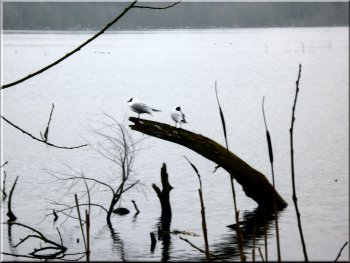
Two of the many black headed gulls on Blakemere Moss
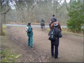
Two riders passed us as we admired a tree!
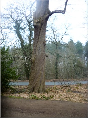
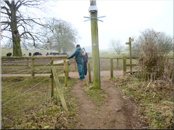
We reached a minor road at map ref. SJ550718
Here we turned right and continued along
these tracks for about 350m to a minor road at map ref. SJ550718. There was a very nice example of a sweet chestnut tree near the road with its
twisted bark spiralling up the trunk and as we stood to admire it two horse riders came by who clearly though we were a bit odd staring at a tree. |
Here the track curved round to our right around the waterlogged strip of woodland at the water's edge. The wide stony track that we were following
turned around the western end of the wetland until we were following the northern shore heading roughly East. We walked along this track to the
eastern end of the wetland and about 100m before we reached a road (B5152) we turned round to the left to climb a gentle slope along a similar
stony track through the forest for about 150m to a junction with yet another similar wide stony forest track.

Some of the many bat boxes along this part of the track
The track climbing up away from Blakemere Moss
A very nice example of a sweet chestnut tree near the road with its
twisted bark spiralling up the trunk
|
The meandering track through the forest past a series of woodland pools
The meandering track through the forest past a series of woodland pools
|

The meandering track through the forest
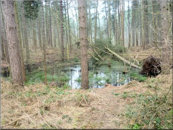
One of the forest pools that we passed
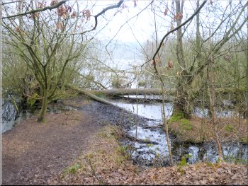
Reaching the road at map ref. SJ541716
There had been pools and ponds amongst the trees almost all the way and the name, Delamere Forest means forest of many pools. |
We
crossed the road and continued in the same direction along the forest track. We followed this wide stony track through the forest around a series of
large bends for almost 900m to a road at map ref. SJ541716.
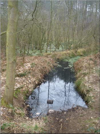
One of the forest pools that we passed
One of the forest pools that we passed
|
One of the forest pools that we passed
|
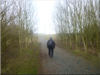
Our track now following the Sandstone Trail
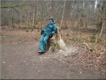
Tree stump carved into an arm chair
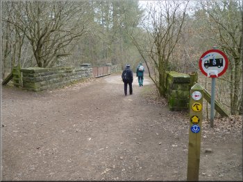
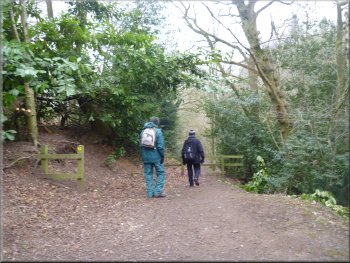
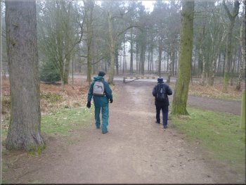
Crossing the railway bridge on the Sandstone Trail
We walked through the forest for about 600m along the Sandstone Trail to a bridge over the railway at map ref.
SJ540708. |
Here, at the road, our route had joined the route of the Cheshire Sandstone Way with its distinctive
yellow and black disc route markers.
Our track now following the Sandstone Trail
Our track now following the Sandstone Trail
Looking along the line from the bridge
|
Narrower path around the side of Eddisbury Lodge
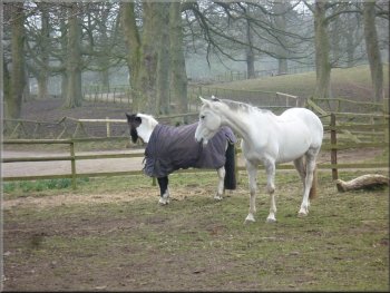
Horses at Eddisbury Lodge
We
turned left to walk a few metres along this access track and then turned off it to follow another access track on the right. |
We
crossed the railway bridge and continued on a narrower path around the side of Eddisbury Lodge to a farm access track at map ref. SJ540704.
Narrower path around the side of Eddisbury Lodge
Joining a farm access track at map ref. SJ540704
|
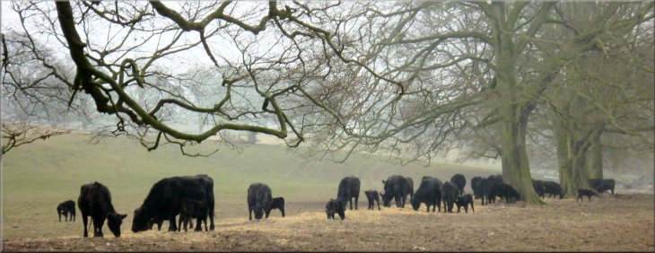
Aberdeen Angus cattle being fed by the track near Eddisbury Lodge
|
Heading South on the track East of Pale Heights
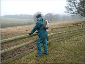
Misty view looking West from the track
The substantial poles of
one of these jumps made a fine seat for our lunch break. The mist had been with us all day and it was now thickening as a light drizzle started and we
set off again. |
We were still following the
route of the Sandstone Trail and we continued along the farm access track between the fields for about 700m to a gate across the track into some
woodland. Before the gate the track was widened out to accommodate a horse jump on either side of the track.
Heading South on the track East of Pale Heights
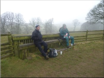
Our lunch break on a comfortable horse jump
|
Entering the wood below Pale Heights
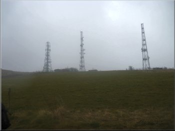
Radio masts on Pale Heights
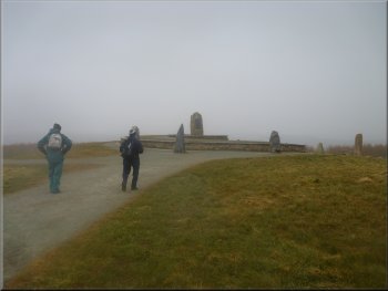
The Old Pale - geological monument on Pale Heights
It was a circular
structure raised up with a low wall and a stone centrepiece with a bronze plaque. The plaques described the history of the geology of the area and
there was an outer circle of rough columns of different types of stone each bearing the name of a county that can be seen from this high point. This is
The Old Pale on Pale Heights. |
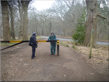
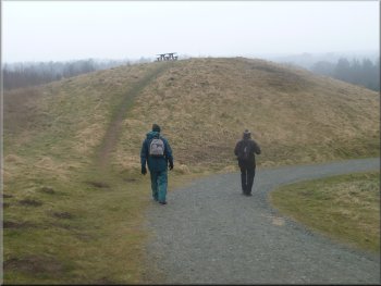
Through the gate into the wood the Sandstone Trail signs pointed to an alternative route up to Pale Heights, and that was our route too.
The gravelled path led us up the hillside to three radio masts on the ridge. Here we left the Sandstone Trail which was heading South. We turned
North on a path along the West side of the radio masts which, after only about 200m, brought us to a large monument on the hill top.
Sandstone Trail alternative route to Pale Heights
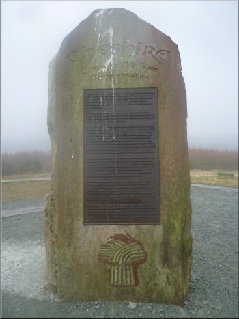
Information panel on the Old Pale monument
|
The track down from Pale Heights
|
|
The track down from Pale Heights
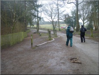
Approaching the road at the bottom of the hill
At the road we turned right to walk along the road past this car park for about 250m back to the visitor centre car
park and the end of our walk. The whole route had been 9km and it had taken us about four hours to walk including our lunch stop. |
By now the rain had set in and it continued for the rest of the walk. From Pale Heights we followed a wide track down
the hillside for about 600m to service road along the bottom next to the railway at map ref. SJ545704. Here there was a large car park and a large
sculpture of the white faced darter.
The track down from Pale Heights
Following the road back to the visitor centre
|
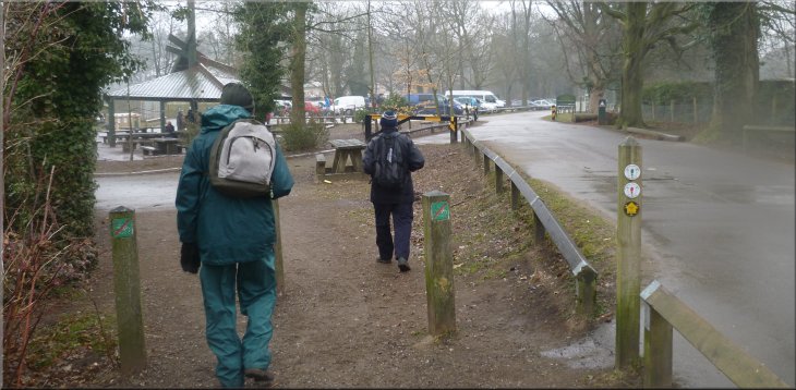
Returning to the Delamere Forest visitor centre car park
|