| 2001 walks | 2002
walks | 2003 walks | 2004
walks |
| 2005 walks | 2006
walks | 2007 walks | 2008
walks |
| 2009 walks | 2010
walks | 2011 walks | 2012 walks |
| 2013 walks | 2014 walks | 2015 walks | 2016 walks |
| 2017 walks | 2018 walks | 2019 walks |2020 walks |
| 2021 walks | 1993-2000 library | Find a Route Index |
| A few Routes to print out | Request a Route... |
Route No. 513 - Wednesday 24 July 2013
Garsdale Head, Clough Force, Moor Rigg,
Round Ing, Flust, South Lunds circuit - 8km
Grisedale, Cumbria . . .
Route map from Ordnance Survey
Open Space service.
Map: OS Explorer OL19 Howgill Fells & Upper Eden Valley
(This is another fine walk from Ray Brown - Thanks Ray)
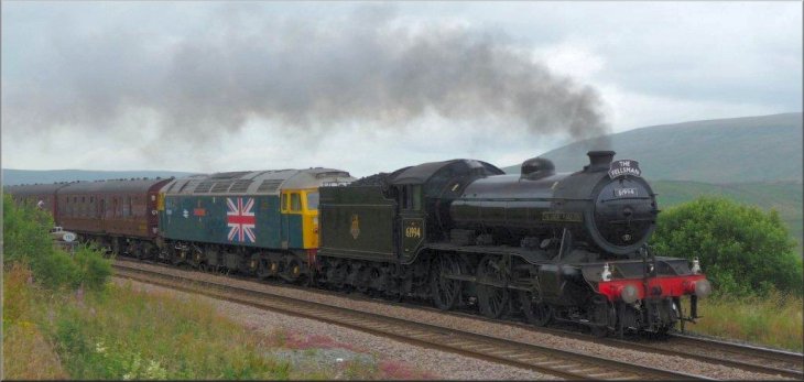
The Great Marquess heads The Fellsman excursion train through Garsdale Head
|
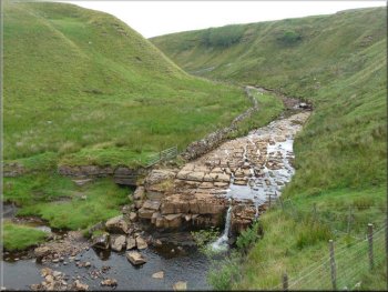
Clough Force on Grisedale Beck
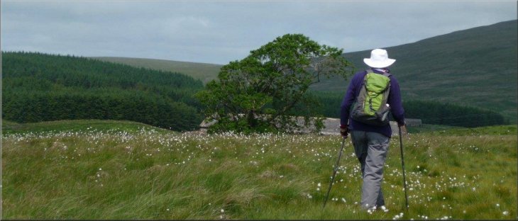
About 60 metres on our right a squeeze stile at SD 785921 provided access through that wall and we then veered left to walk along the rim of a ravine on our left with the small waterfall Clough Force below us. Following the July heat wave, the force was reduced to a trickle. |
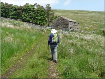
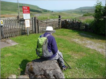
Ray's decription of the route - We put the car in the overflow park at Garsdale Head station and watched the weekly Fellsman steam excursion pass by before we set off down the station road to cross over the A684 road to a small gate. With a stone wall immediately on our left, we followed a rough animal track until confronted by a wall ahead.
Squeeze stile at SD 7826 9235
|
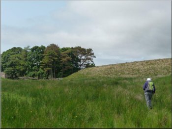
Approaching Blake Mire
|
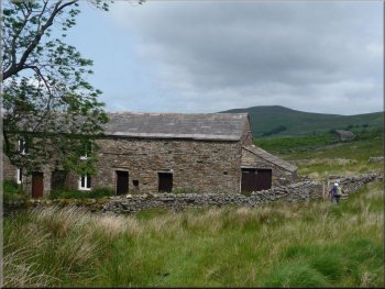
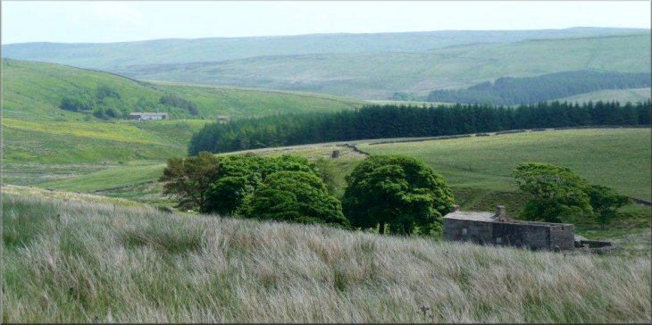
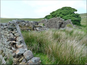
The old farmstead at Blake Mire
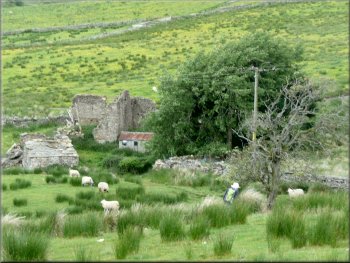
The ruined farm at Rowantree
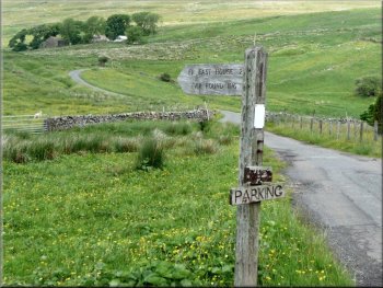
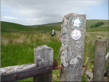
Signpost at Moor Rigg
However there was no clear path and the route looked difficult so we left it to follow the contour to a signpost and squeeze stile at SD 7826 9235 from where a vestigial track led directly to the property Blake Mire.
Skirting around to the right of the house we were directed by signposts, especially one at SD 7784 9290, towards the ruined farm of Rowantree. |
The note of a quad-bike announced the arrival of a rude and paranoid man who interrogated us about our route and then disbelieved our responses; his dog was well-behaved. The right-of-way we had been following is then shown on our OL19 map to drop down to the Grisedale Beck at this point
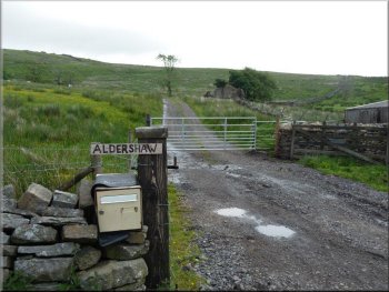
The ruined farm at Rowantree from Aldershaw entrance
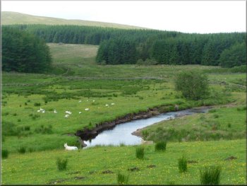
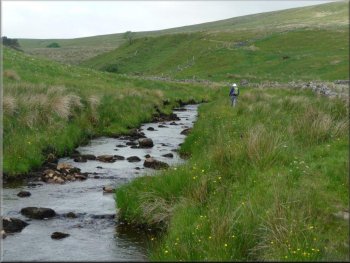
Grisedale Beck before we reached Moor Rigg
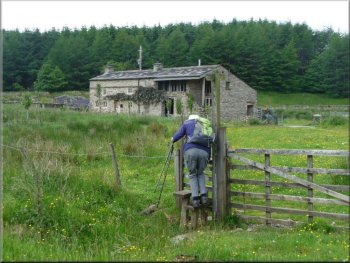
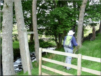
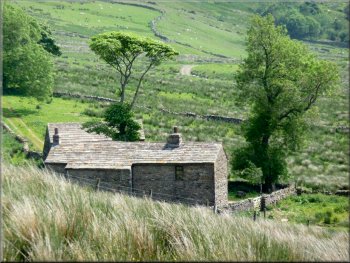
Path past the building at Reachey
|
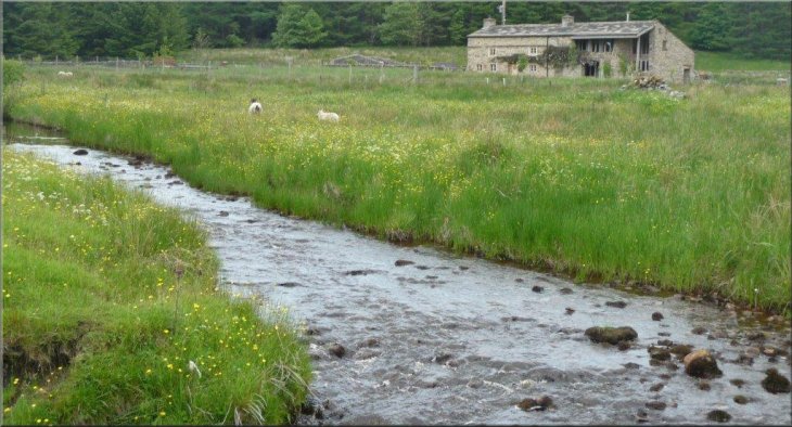
Grisedale Beck before Reachey
|
|
Lichen laden gatepost after Reachey SD 772 937
Heading towards Signpost by Galey Hill
Passing the house Reachey on our left, a path, initially with flagstones, followed the right bank of the beck towards Galey Hill. On reaching a copse at East Scale, the site of a Quaker graveyard, we turned right for a short scramble up to the signpost we had seen from a distance.
|
The right-of-way from Rowantree to the farm Moor Rigg, some 320 metres ahead, appeared less friendly than the alternative of turning left down the Aldershaw driveway for 70 metres to the surfaced road serving Grisedale. On reaching Moor Rigg a signpost "East House via Round Ing" sent us over rough pasture towards Grisedale Beck.
Following Grisedale Beck beyond Reachey
Turn before East Scale SD 768939
|
Returning towards Grisedale with Scale in the foreground
|
|
Ruins of Round Ing SD 7650 9416
The farmstead at Fea Fow
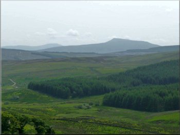
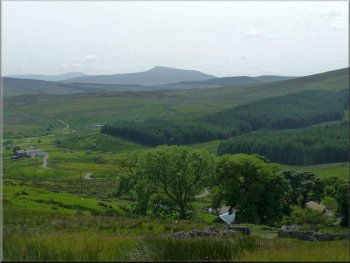
Distant Whernside and Ingleborough
At Flust we opted for the higher track rather than joining the lower right-of-way to East House. The track provided us with views of distant Whernside and Ingleborough and took us above the farm of Fea Fow and past a defunct lime kiln modified to an animal shelter before merging with a track rising from East House. |
Now following the contour whilst yomping over moorland and traversing a dyke we reached the ruined farmstead of Round Ing at the head of Grisedale. The return route involved a sharp right turn to face east and a climb up to a wall. When the farm Flust appeared ahead and slightly on the left, we yomped towards it via a squeeze stile at SD 7682 9419.
Approaching Flust (SD 7702 9423)
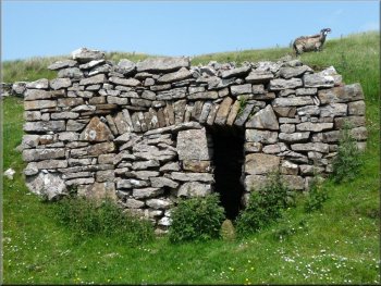
Lime Kiln (SD 7740 9415) Modified into an animal shelter
Above East House at SD 7777 9391
|
Stile at SD 7832 9349
A pause at South Lunds
With fine views of Dandrymire viaduct we descended over Garsdale Low Moor to the A 684, some 200 metres east of the station road.
The absence of well-defined footpaths over most of the rights-of-way used in this short route possibly reflects the fact that few would rate it as a five-star walk, but on a fine day it allows the rambler to experience and enjoy the remote and wild Grisedale - Ray Brown
|
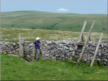
The track petered out to become pasture which in turn developed hillocks, mild impediments to the foot-weary. Bearing somewhat to our left we saw a stile at SD 7832 9349 and an adjacent gate which allowed us to proceed downhill over South Lunds pasture, avoiding sink holes, until we reached the railway, north of Lunds viaduct. Instead of crossing the footbridge we turned abruptly right through a small gate and took the right-of-way south, climbing up Cock Lakes via successive stiles at SD 7897 9290, SD 7890 9262 and SD 7883 9235.
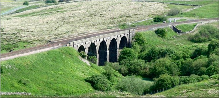
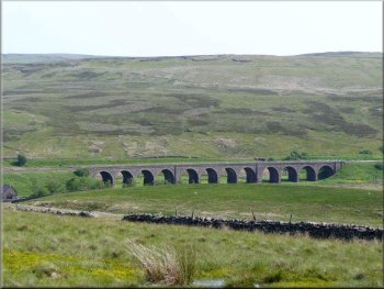
Five arches of Lunds viaduct on the Settle to Carlisle railway
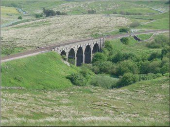
Dandrymire viaduct on the Settle to Carlisle railway
|
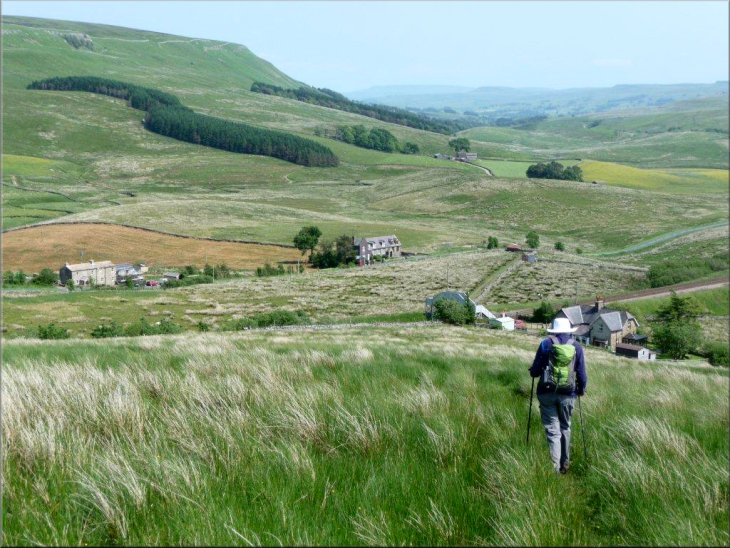
Heading down to South Lunds
|