| 2001 walks | 2002
walks | 2003 walks | 2004
walks |
| 2005 walks | 2006
walks | 2007 walks | 2008
walks |
| 2009 walks | 2010
walks | 2011 walks | 2012 walks |
| 2013 walks | 2014 walks | 2015 walks | 2016 walks |
| 2017 walks | 2018 walks | 2019 walks |2020 walks |
| 2021 walks | 1993-2000 library | Find a Route Index |
| A few Routes to print out | Request a Route... |
Route No. 523 - Friday 20 September 2013
Finsthwaite, Low Dam,
High Dam circuit - 3km
English Lake District . . .
Route map from Ordnance Survey
Open Space service.
Map: OS Explorer OL7 The English Lakes South Eastern area
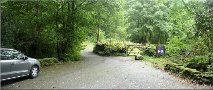
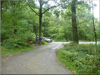
The turning off the road at Finsthwaite to the drive up the hill to the car park
|
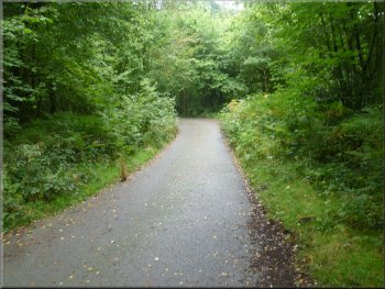
The drive up the hill to the car park
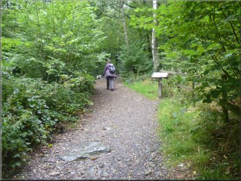
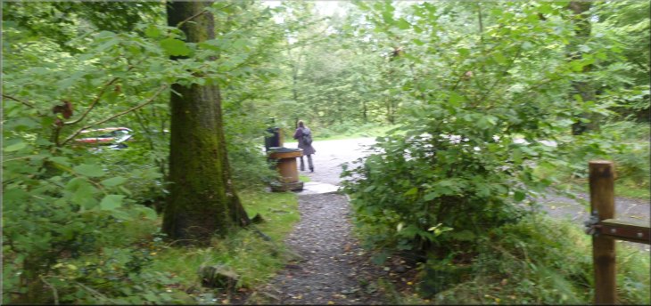
Path from the car park past the information board
The mill was powered by a waterwheel fed from High Dam and the smaller Low Dam high in the hills above the village. Our walk today is up to these two dams and around their lakes. There is a car park up a long tarmac drive off the road at the northern end of the village (map ref. SD368882). There is an information board on the track by the car park and at the edge of the car park is a large wooden bobbin that serves as a plinth for a cast metal relief map of the whole site. |
This week my wife and I have been staying in a holiday cottage in the tiny village of Near Sawrey close to Hawkshead. Today is our last day, so after packing our things in the car and returning the cottage keys to the agency we drove to Finsthwaite near Newby Bridge for a short walk before driving home. The Stott Park Bobbin Mill at Finsthwaite manufactured bobbins for the Lancashire textile industry using locally coppiced timber.
The car park entrance
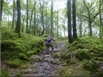
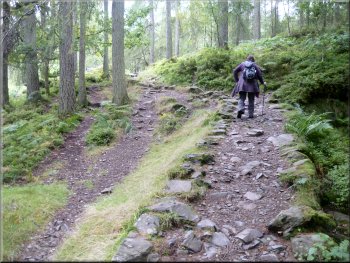
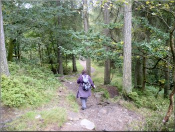
Path up the rocky wooded hillside
|
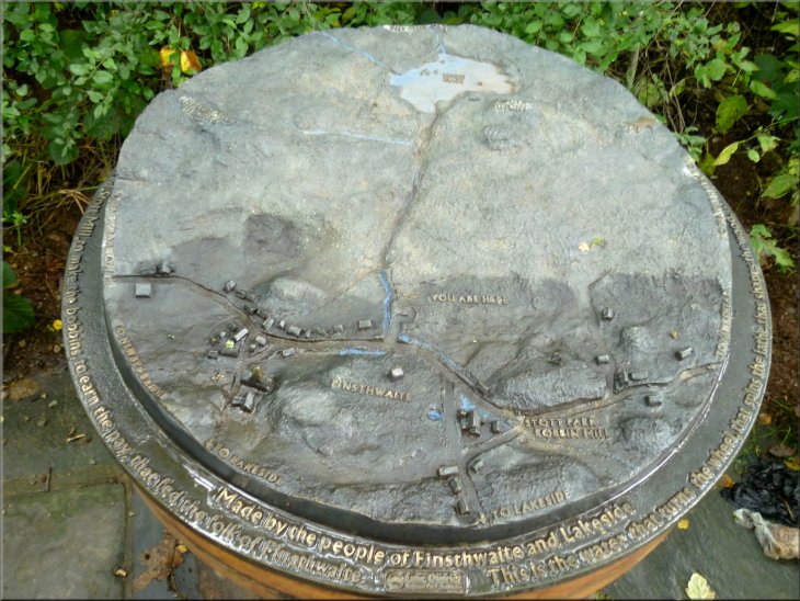
Cast metal relief map of the site set on a large wooden bobbin in the car park
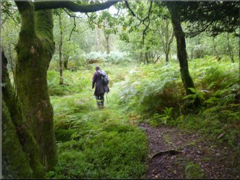
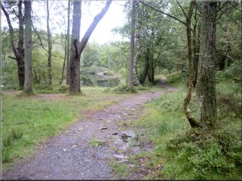
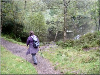
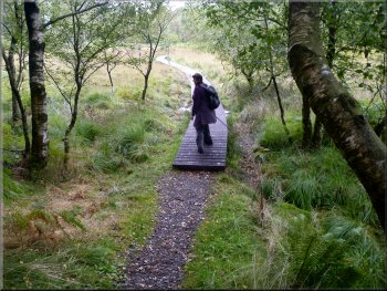
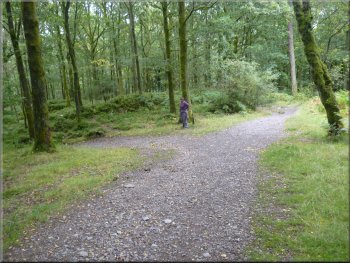
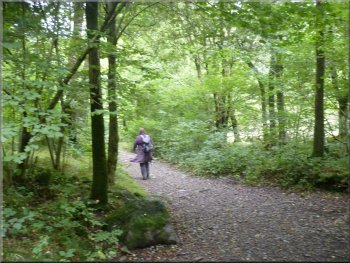
The path up the hillside from the car park heading for the Low Dam
|
A short rest on the climb up to Low Dam
Low Dam & the lake behind it
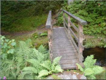
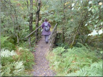
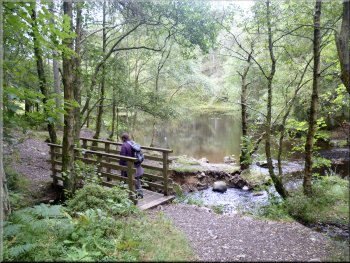
Footbridge over the outlet stream from Low Dam
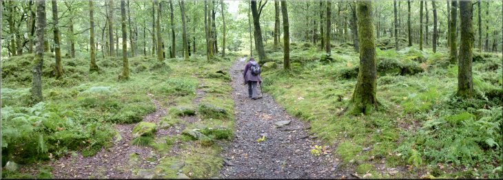
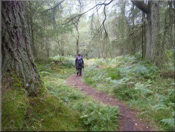
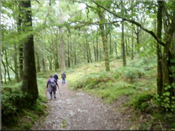
We crossed the dam and followed a path through the woods climbing up towards the High Dam lake. |
From the car park we followed the track straight up the hillside for about 500m to the small lake at Low Dam. It's in a very attractive setting with tall trees surrounding the lake right up to the water's edge.
The final part of the climb up to Low Dam
Crossing Low Dam
Woodland footpath from Low Dam up towards High Dam
|
The Low Dam lake surrounded by trees
|
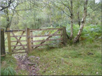
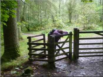
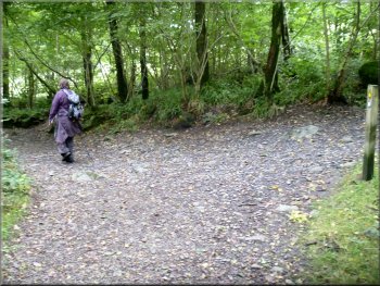
Our path didn't go through this gate but turned right in front of it
Path at the edge of High Dam lake
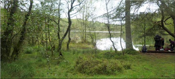
It's a popular walk and we passed two couples enjoying the view over the lake from a seat by the path at the north western side of the lake. A group of teenagers caught us up doing an expedition for their silver Duke of Edinburgh's award. |
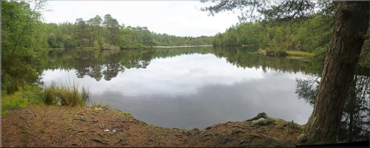
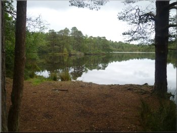
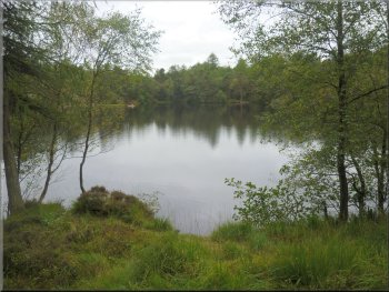
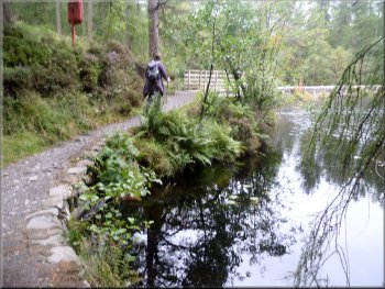
After about 400m we reached the side of the High Dam lake at map ref. SD362885. At the lake side we turned left to follow a well walked path around the edge of the lake.
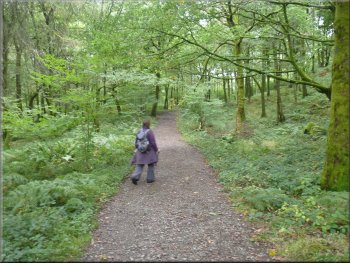
Woodland path heading for High Dam
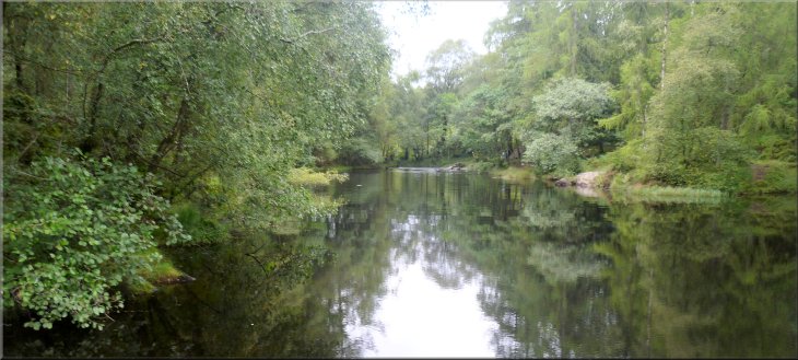
High Dam lake
|
Our first view of the High Dam lake as the path reached the lakeside
|
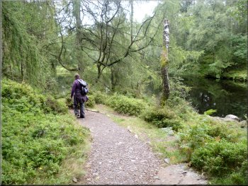
Path around the edge of High Dam lake
Path around the edge of High Dam lake
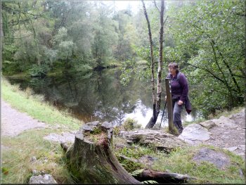
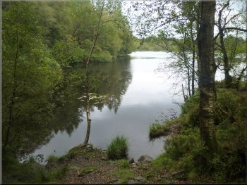
High Dam lake from the eastern shore
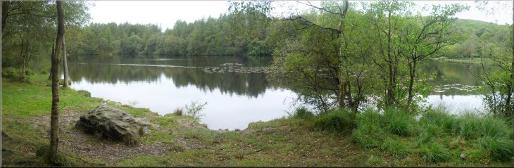
The whole lake and its surroundings are very pretty. We continued along the path to the dam at the south eastern corner of the lake at map ref. SD363886. |
At the northern end of the lake the path passed along a boardwalk across some marshy ground before entering woodland along the eastern margins of the lake.
High Dam lake from the western shore
Start of the boardwalk at the northern end of High Dam lake
Approaching the High Dam at the SE corner of the lake
|
High Dam lake from the eastern shore
|
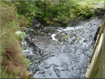
The outlet stream at High Dam
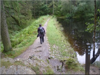
Path around the edge of the Low Dam lake
Path down through the woods from Low Dam
From Low Dam we retraced our steps down the hillside until we were about 350m from the car park. |
From here we followed the path down the side of the outlet stream from the lake to the Low Dam lake just below.
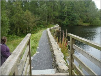
High Dam at the SE corner of the lake
Path around the edge of the Low Dam lake
Leaving the main path to follow the permissive path loop
|
Following the permissive path down through the woods
Rejoining the main path just above the car park
It had only been 3km all together and it had taken us almost two hours to walk with lots of photograph stops and pauses to admire the scenery. It had been a very enjoyable end to our week in the lake district before we had to drive home. |
Here we took a permissive path on the left making a loop out through the woods to join the original path just above the car park entrance. From there we followed the path back into the car park and the end of a very pretty walk.
Following the permissive path down through the woods
Following the main path back to the car park
|
Returning to the car park at the end of the walk
|