| 2001 walks | 2002
walks | 2003 walks | 2004
walks |
| 2005 walks | 2006
walks | 2007 walks | 2008
walks |
| 2009 walks | 2010
walks | 2011 walks | 2012 walks |
| 2013 walks | 2014 walks | 2015 walks | 2016 walks |
| 2017 walks | 2018 walks | 2019 walks |2020 walks |
| 2021 walks | 1993-2000 library | Find a Route Index |
| A few Routes to print out | Request a Route... |
Route No. 541 - Thursday 17 April 2014
Grosmont, Green End, Hill Fm, Hawthorn Hill Fm,
Greenlands Fm, Moor Lane Fm, Fairhead Fm circuit
11km - North York Moors . . .
Route map from Ordnance Survey
Open Space service.
Map: OS Explorer OL27 North York Moors Eastern area
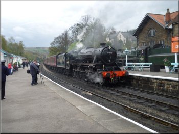
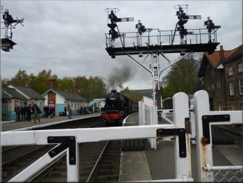
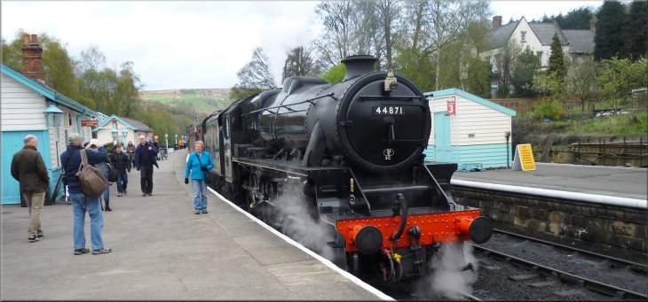
Black 5 loco 44871 at Grosmont station
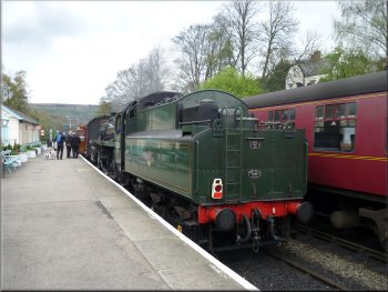
75029 The Green Knight at Grosmont station
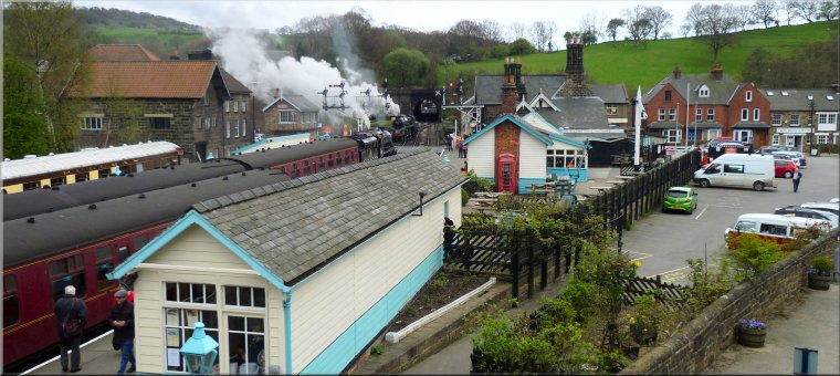
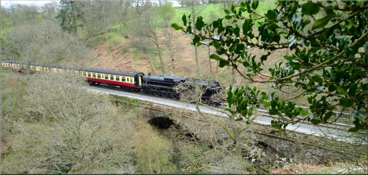
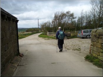
From the car park we crossed the footbridge over the railway to the platform at Grosmont station. There were two
steam engines manoeuvring at the station and another train hauled by a diesel engine pulled into the platform. We walked along the platform past all
the station facilities, ticket office, toilets, cafe & shop, to the road at the level crossing by the station. |
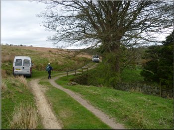
This week has been bright and sunny with lots of clear blue sky but the forecast for today is for a rather overcast day with plenty of dark clouds, but no
rain. So my mate, Jim, and I drove to Grosmont on the North York Moors and parked in the large 'Pay & Display' car park in woodland on the edge of
the village at map ref. NZ827054.
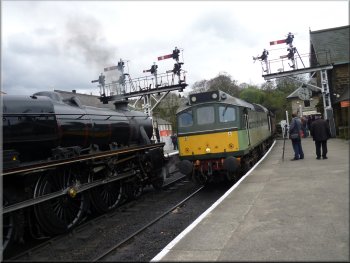
Train hauled by D7628 Sybilla arriving from Pickering
A last look at Grosmont station from the level crossing
|
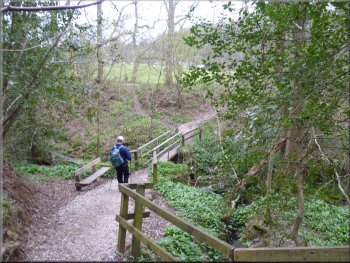
The footpath through Doctors Wood
|
Our turning into Doctors Wood
The footpath through Doctors Wood
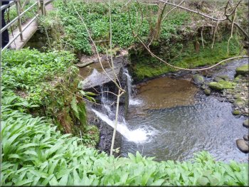
Waterfall on Lythe Beck
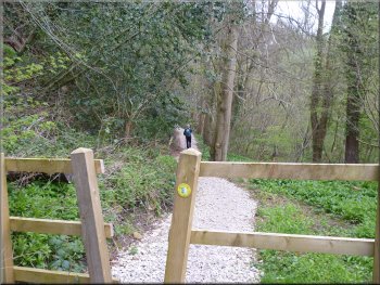
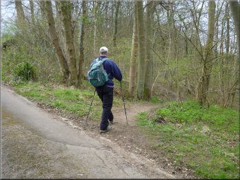
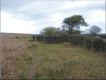
At the track we turned left and followed the public footpath along the track for about 200m. A few metres ahead there is a
farm gate across the access track and the public footpath goes through the gate and turns right to follow the edge of the field. However there is a well
walked path off the track to the right through the woods. |
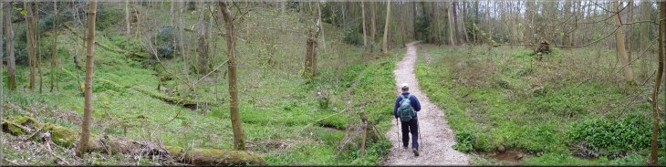
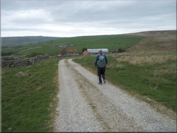
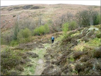
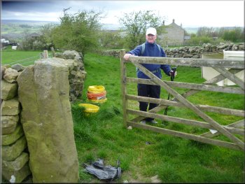
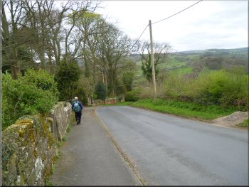
At the road we turned left to walk up the steep hill for about 200m to map ref. NZ830052. Here we turned right off the road to follow a footpath
through woodland called Doctor's Wood. The path winds down to cross Lythe Beck on a footbridge above a small waterfall and then rises up a little
bank to a farm access track.
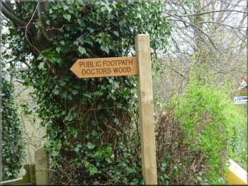
Sign post at our turning into Doctors Wood
Footbridge over Lythe Beck in Doctors Wood
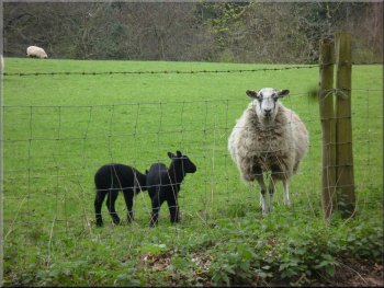
Ewe and lambs by the track
|
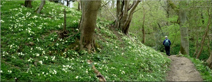
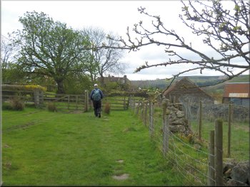
Informal path into the woods
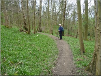
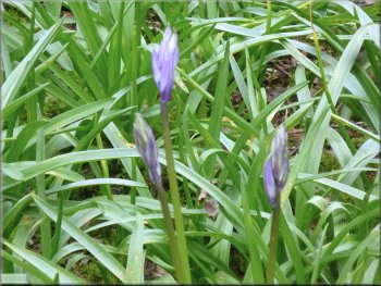
Bluebell foliage covers the woodland floor
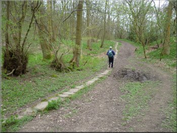
The old paved pannier way through the woods
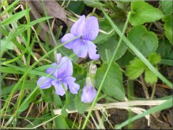
There were primroses and celandines with a few wild violets and an occasional wood
anemone. After about 400m we rejoined the public footpath as it entered the wood on our left along a track with an old paved pannier way along one
side of it. |
We took the path on the right through the woods to see the wild flowers covering the woodland floor. In a few weeks there will be wild garlic, bluebells
and wild orchids but we were a bit too early for them today.
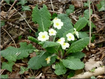
Primroses
Hardly any bluebells are in flower yet
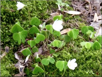
Wood sorrel in a mossy patch
|
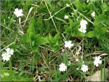
Stitchwort amongst the leaves of dogs mercury
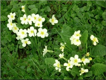
More primroses
Violets by the path
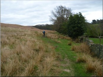
As the path left the wood to pass along the edge of fields
bordering the wood there were large drifts of primroses dotted with violets, a lovely sight. Almost 2km from our starting point we reached the hamlet
of Green End at map ref. NZ825035. |
We followed this track up through the woods towards Green End. The whole woodland floor is carpetted with bluebell foliage here but very few
flowers open yet but there should be a good show of them in a two or three weeks.
Path along the edge of fields bordering the wood
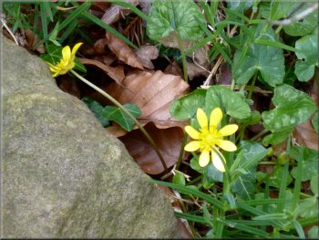
Celandines by the path
Continuing on the path towards Green End
|
Bank covered in primroses by the path
|
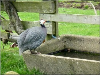
Guinea fowl at Green End
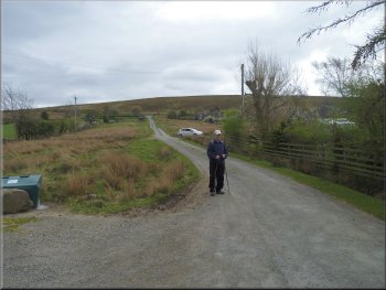
The access road at Green End
Path across the fields to the road at Hollin Garth farm
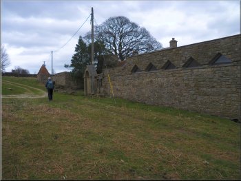
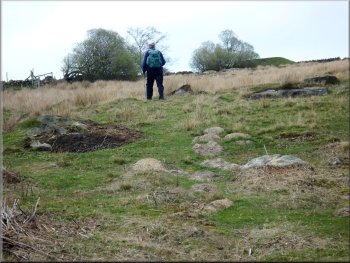
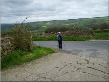
We continued along the road past
the farm for about 100m to map ref. NZ823028. Here we turned left off the road to follow a public footpath across the moor. |
At Green End we turned left to walk up the access road towards the public road but after about 100m we turned right off the access track to follow a
public footpath through Liberty Hall farm. We followed this path across the fields to the road at Hollin Garth farm.
Approaching the access road at Green End
Farm access track to Liberty Hall farm
Turning off the road on the path to across the moor
|
Reaching the road at Hollin Garth farm
|
Following the track past Lins Farm
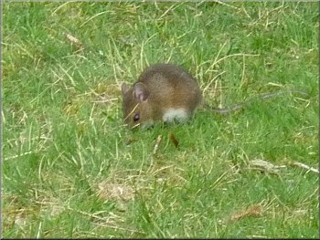
Wood mouse foraging in the grass by our seat
At the corner here there is a seat under a large holly tree where we sat for our lunch break.
It's a very pleasant spot and we saw a steam train pass by on its way to Grosmont. In the grass nearby was a large woodmouse foraging, taking no
notice of us at all. After a few minutes a couple came by with a border collie. The mouse disappeared in an instant and we did not see it again.
|
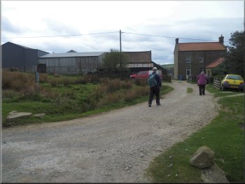
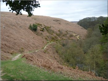
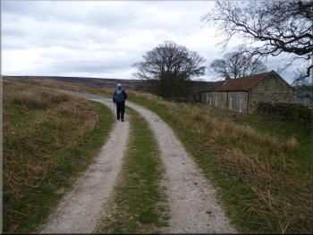
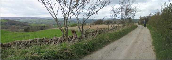
After about 600m we reached Hill Farm. In front of the farm we turned left and followed the track past Lins Farm heading generally eastwards for
about 350m. Here we came to the edge of a steep sided bowl of land with a loop of Eller Beck flowing in the bottom and the North York Moors
Railway passing across the southern edge of the bowl.
Following the track from Lins Farm
View from our lunch stop seat
|
Steam train on the down hill run from Goathland to Grosmont
|
Climbing up the moor to Hawthorn Farm
Joining the access track to Hawthorn Farm
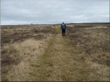
Path across the moor from Hawthorn Farm
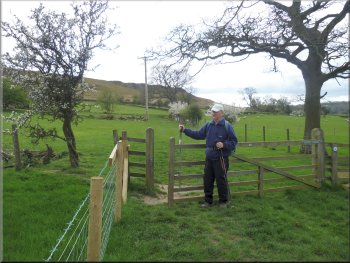
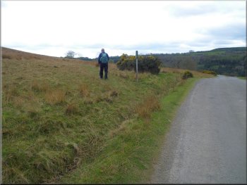
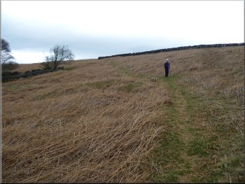
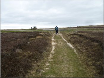
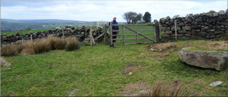
We turned left in front of the farm to walk along the farm access track for about 50m
before turning right off the access track to follow a path out across the moor for about 400m to map ref. NZ835028. Here two paths cross and we
turned left to head north for 350m to the public road at map ref. NZ836031. |
After our break we followed a well walked path, not shown on the map, around the rim of the bowl of land for about 350m where a path coming up from
Eller Beck under the railway crossed our path at map ref. NZ828023. Here we turned left to follow this path up the hillside. We walked along this path
for about 500m to the access track in front of Hawthorn Farm.
Following the wall round to Hawthorn Farm
Passing Hawthorn Farm
Reaching the road opposite the track to Greenlands Farm
|
The valley of Lythe Beck just beyond Greenlands Farm
|
Access track approaching Greenlands Farm
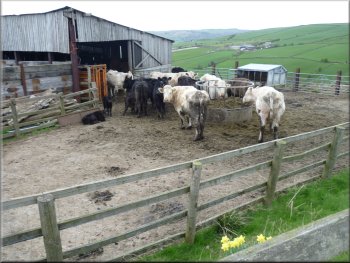
Cattle at Greenlands Farm
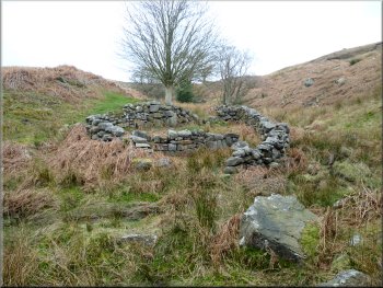
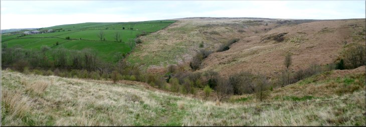
Sheep Bield or refuge above Lythe Beck
It's the same beck that we crossed in Doctors Wood near the start of the walk. Just across the beck there's a sheep 'bield' or sheep
refuge built from boulders. Here the path is not clearly defined and we made out way up the steep hillside following the wall on our left for about 250m
to a field gate in the wall at map ref. NZ842043. |
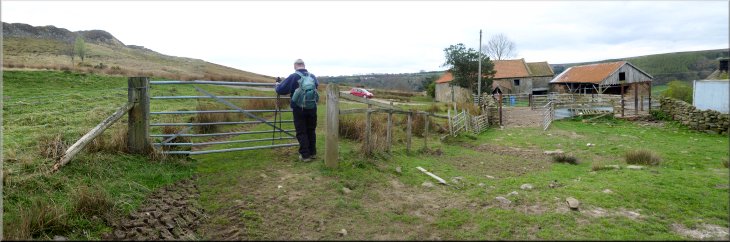
We crossed the road and walked along the farm access track for about 1km to Greenlands Farm. Beside the farm, where the access track turns left
into the farm yard, the path continues straight on over some rough ground and down the hillside over rough pasture to cross Lythe Beck at map ref.
NZ841041.
Following the path from Greenlands Farm to Lythe Beck
Dropping down the hillside to Lythe Beck
Starting the climb up from Lythe Beck
|
Our turning to the path to Moor Lane Farm
|
A handsome tupp by the path
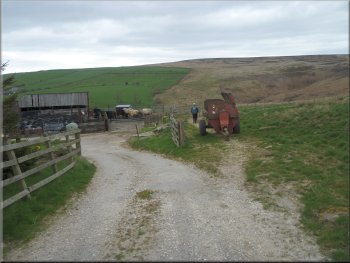
Farm access road leaving Moor Lane Farm
We continued through
the farm and followed the public footpath along the farm access track through Fairhead Farm to the road at map ref. NZ837051. |
Here we turned left through the field gate to follow a public footpath across the fields to Moor Lane Farm.
Gate to the track at Moor Lane Farm
The road near Fairhead farm
|
The farm access road between Moor Lane Farm and Fairhead Farm
|
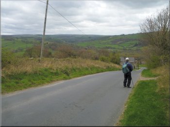
The road down into Grosmont (1 in 3 gradient)
Heading down into Grosmont past the entrance to Doctors Wood
After our cafe stop we walked back to the car park and the end of our walk. The whole route had been 11km and it had
taken us almost four and a half hours to walk including our lunch stop. |
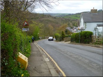
At the road we turned
left and walked along the road down the steep hill (1 in 3 or 30%) for about 1km back into Grosmont. We called at a cafe just beyond the level
crossing for a coffee and a toasted teacake
The road down into Grosmont (1 in 3 gradient)
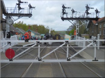
Back at the level crossing in Grosmont
|
The 44871 - Black 5 at Grosmont ready to leave for Pickering
|