| 2001 walks | 2002
walks | 2003 walks | 2004
walks |
| 2005 walks | 2006
walks | 2007 walks | 2008
walks |
| 2009 walks | 2010
walks | 2011 walks | 2012 walks |
| 2013 walks | 2014 walks | 2015 walks | 2016 walks |
| 2017 walks | 2018 walks | 2019 walks |2020 walks |
| 2021 walks | 1993-2000 library | Find a Route Index |
| A few Routes to print out | Request a Route... |
Route No. 545 - Tuesday 29 April 2014
Cat & Fiddle Inn, Errwood Hall (Goyt Valley),
Cats Tor, Shining Tor circuit - 12km
Derbyshire Peak District . . .
Route map from Ordnance Survey
Open Space service.
Map: OS Explorer OL24 The Peak District White Peak area
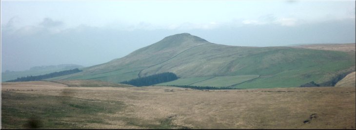
The view of Shutlingsloe from the track near the start of our walk
|
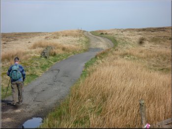
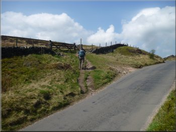
Setting off from our parking spot by the A537
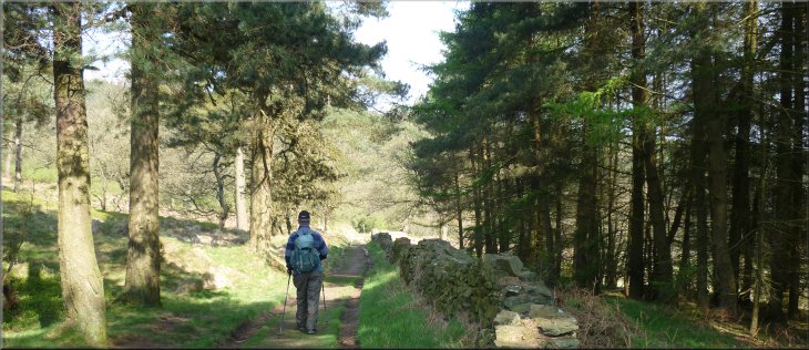
Our path heading for the Goyt Valley
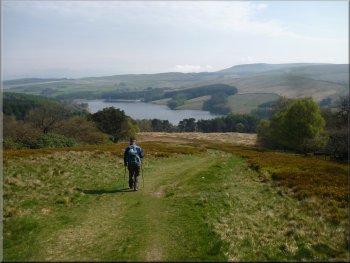
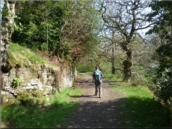
From our parking spot a moorland track leaves the road and after about 250m it bends round to the right to head towards the Goyt Valley along a high tongue of land. To the left of this track is a hill called Shining Tor at the end of a ridge that runs northwards to Pym Chair where a road coming up from the Goyt Valley crosses the ridge. |
My mate, Jim, and I have been given a three day pass each by our respective wives and we are spending them in Buxton in Derbyshire. This is our
second day and we drove from Buxton up past the Cat & Fiddle Inn on the A537 Buxton to Macclesfield road. There was room to park off the road
about 250m north of the pub at map ref. SK000721.

"To Macclesfield 6 miles" - milestone by the track
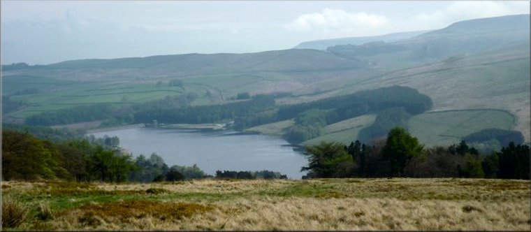
Looking across the head of the valley to Shining Tor
|
A more distant view of Shutlingsloe about 3.5km south of us
|
The track heading for the Goyt Valley
Dropping down to Errwood Reservoir
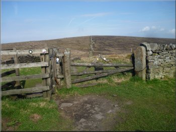
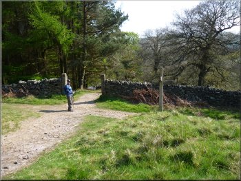
At the junction in the tracks we turned left to walk along the track above the parking area and picnic site for Errwood Hall. After about 200m we intersected the path coming up from the car park. |
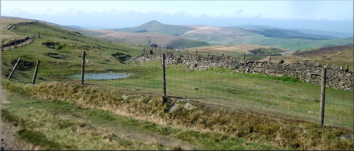
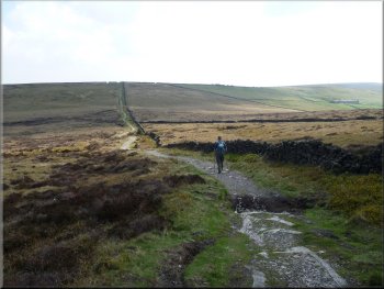
We continued on the path along our tongue of land gradually descending into the Goyt Valley towards the end of Errwood Reservoir. A little over 3km
from the start of the walk we had descended about 200m to a track at map ref. SK011746
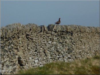
Male grouse defending his territory from our intrusion
Junction in the tracks where we turned left
|
Following the path above the Errwood Hall car park and picnic area
|
The carriage drive up to Errwood Hall
The hall is in ruins now having been demolished in the 1930's as part of the catchment area clearance
work for the Fernilee Reservoir (completed in 1938) |
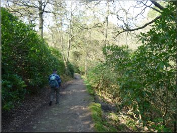
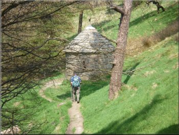
At the track from the car park we turned left to follow the old carriage route for about 300m up to the ruins
of Errwood Hall. It's a lovely wooded approach to the hall but the rhododendrons are
rampant and a bit too intrusive in this setting.
The carriage drive up to Errwood Hall
|
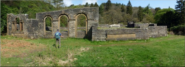
The ruins of Errwood Hall
|
Path round the hill to the cemetery
Joining the path up this valley to the road
Memorial chapel to "Miss Delores"
The Grimshawe family who lived in Errwood Hall were devout Catholics. On one of their many trips abroad
(in their private yacht) they met and befriended "Miss Delores", a Spanish noblewoman, who returned to Errwood Hall with the family. She lived there
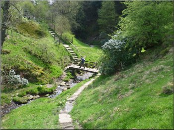
for the rest of her life and the little round chapel is a memorial to her. From the chapel we continued along the path to the road at map ref. SK002761. |
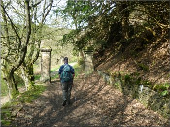
From the hall we followed the path spiralling round the hill behind the hall to the family cemetery on top of the hill. From the cemetery we retraced our
steps down from the hill and crossed the little valley beside the hall to join a footpath through open access country, behind the hall, climbing up the
valley below Foxlow Edge, to the road. Part way up the climb to the road there is a little round chapel just below the path.
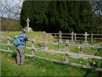
The Grimshawe family cemetery
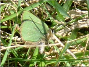
Green Hairstreak butterfly with wings closed
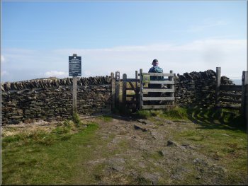
Joining the road below Pym Chair
|
Leaving the road for the path along the ridge
Looking back to crags by the track known as 'The Tors'
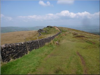
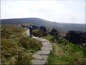
Looking back along the paved path to Cats Tor
The county boundary between Cheshire to the west and Derbyshire to the east runs along
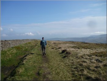
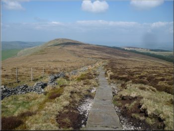
the ridge. From Cats Tor the path drops down to a saddle before climbing up again along the ridge for about 2.5km to the trig point on Shining Tor
(559m) at map ref. SK994737. Along the way Jim spotted a shiny beetle in the leaf litter by the paved path. It look as though it was made from
burnished copper, a lovely thing to see, but I haven't been able to identify it. |
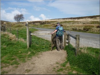
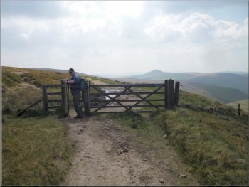
We turned left to walk up the hill along the road to the point where the road crosses the ridge at Pym Chair. Here we turned left off the road on to the
footpath along the ridge. We stopped here with the ridge wall as a comfy backrest for our lunch. After our break we continued climbing up along the
ridge to a summit called Cats Tor about 1km from the road.
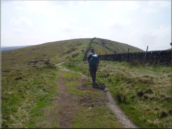
Following the ridge path to Cats Tor
Paved path heading for Shining Tor
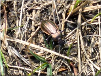
Copper coloured beetle by the path
|
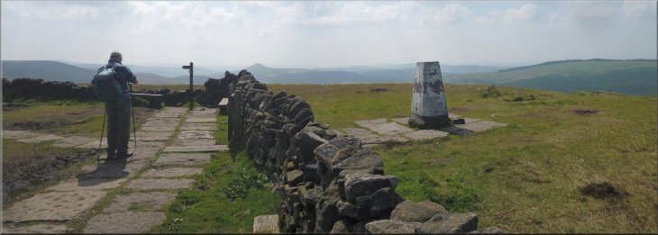
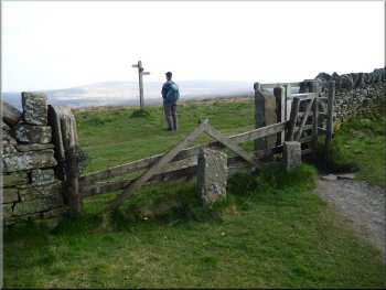
The trig point on top of Shining Tor
|
Leaving the top of Shining Tor
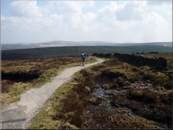
Rejoining the track to retrace our outward journey
After about 1km we were back
at our parking spot next to the A 537 and the end of our walk. The whole route had been 12km and it had taken us about 5 hours to walk. We drove
back into Buxton for a coffee in the Pavilion Gardens where there was free wifi for an email check on my ipad. |
After admiring the view from the top of Shining Tor, we turned left, still following the county boundary, to cross the head of the valley and rejoin our
outward route about 700m away at map ref. SK000731. At the track we turned right and retraced our outward journey.
Crossing the head of the valley from Shining Tor
Following our outward route back to the car
|
Approaching our parking spot off the A537 and the end of our walk
|