| 2001 walks | 2002
walks | 2003 walks | 2004
walks |
| 2005 walks | 2006
walks | 2007 walks | 2008
walks |
| 2009 walks | 2010
walks | 2011 walks | 2012 walks |
| 2013 walks | 2014 walks | 2015 walks | 2016 walks |
| 2017 walks | 2018 walks | 2019 walks |2020 walks |
| 2021 walks | 1993-2000 library | Find a Route Index |
| A few Routes to print out | Request a Route... |
Route No. 546 - Wednesday 30 April 2014
Monsal Head, Brushfield, Millers Dale,
River Wye, Cressbrook circuit - 8km
Derbyshire Peak District . . .
Route map from Ordnance Survey
Open Space service.
Map: OS Explorer OL24 The Peak District White Peak area
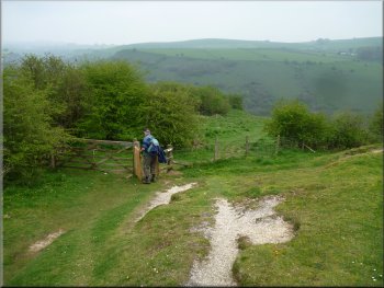
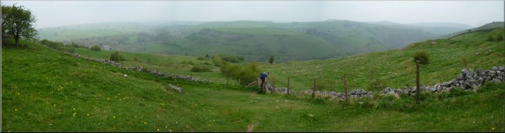
The view from Monsal Head on this rather misty morning
|
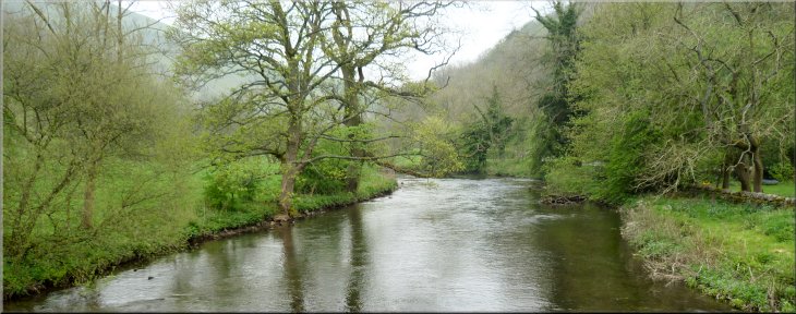
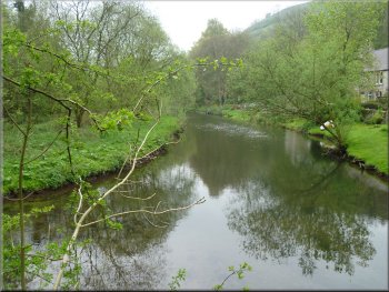
The River Wye by the car park
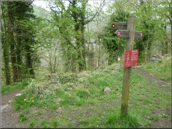
From the car park, at map ref. SK176722, we walked back along the road towards Monsal Head for about 100m to a crossroads. Here we turned right
and walked along the lane for a few metres to cross the River Wye. |
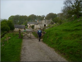
My mate, Jim, and I have been given a three day pass each by our respective wives and we are spending them in Buxton in Derbyshire. This is our
last day. This morning we drove to Monsal Head then down the steep lane to the valley bottom and stopped in a little car park by the River Wye.
The lane down to the bridge over the River Wye
|
The River Wye seen from the bridge by the car park
|
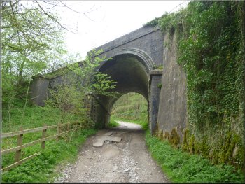
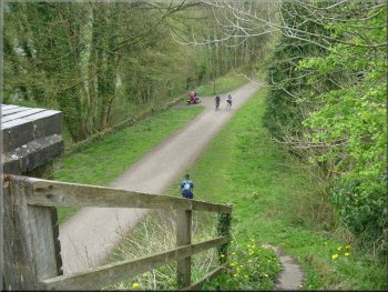
Bridge on the old railway taking the Monsal Trail over our track
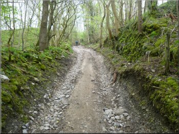
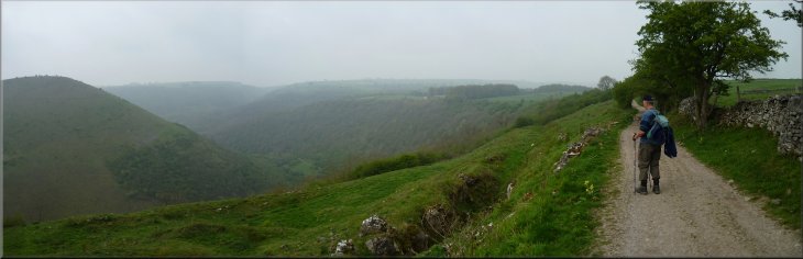
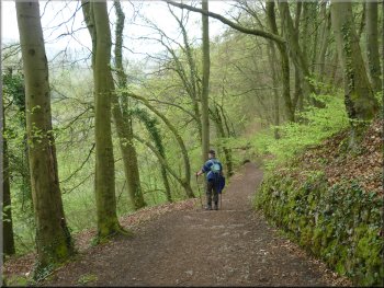
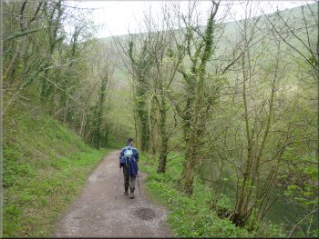
. . . the stony track still climbing up the valley side
From the railway bridge we continued along the
stony track climbing steeply up the valley side, round a hairpin bend in the track and up again. About 1km from the River Wye bridge the track levelled
out and then began to drop down gently to the hamlet of Brushfield. |
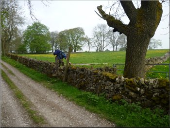
Once across the River Wye the lane became a stony track and turned left climbing steeply up the valley side. After about 250m the track passed
under a railway bridge. The railway is disused and now forms the Monsal Trail for cyclists and walkers.
Stony track climbing up the valley side . . .
Track dropping down into the hamlet of Brushfield
|
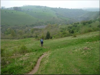
Misty view across the Wye valley on the way to Brushfield
|
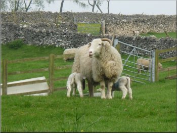
Ewe & lambs at Middle Farm, Brushfield
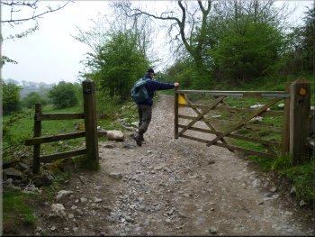
Turning off the track from Brushfield to a path to Litton Mill
Dropping down to Litton Mill in Millers Dale
Here we turned
right off the track to follow a path across the fields heading north east to Litton Mill. After around 350m the path began to drop down the steep valley
side into Millers Dale. |
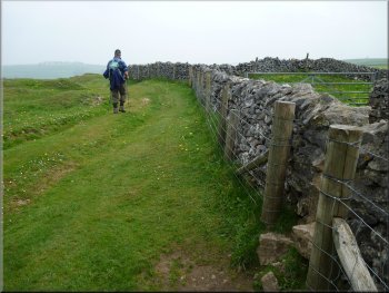
In Brushfield we turned right to follow a farm access track heading north west above High Dale for about 1km to map ref. SK152723.
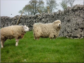
Two of the various tupps seen at Brushfield
The path across the fields to Litton Mill
Dropping down to Litton Mill in Millers Dale
|
Looking across Millers Dale from the path to Litton Mill
|
Joining the Monsal Trail on the old railway above Litton Mill
Path down to the River Wye from the old railway
The River Wye seen from the footbridge at Litton Mill
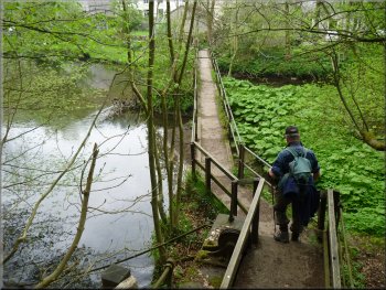
The woodland path led us to a footbridge over the River Wye. We stopped by the river for a while to watch the numerous large trout manoeuvring in the fast current at the footbridge. Then we followed the path out to the road at Litton Mill. |
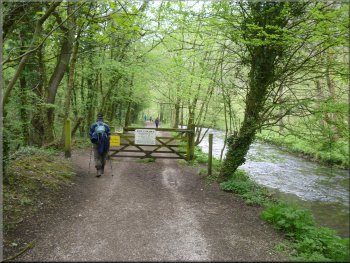
Just above the River Wye we came to the Monsal Trail along the disused railway. From the bridge over the railway we turned right to go down some steps on to the railway path and immediately turned left off the railway path to go down a narrow path through the woodland.
Our turning off the old railway down to the River Wye
Footbridge over the River Wye at Litton Mill
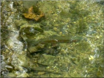
One of the large trout seen from the footbridge
|
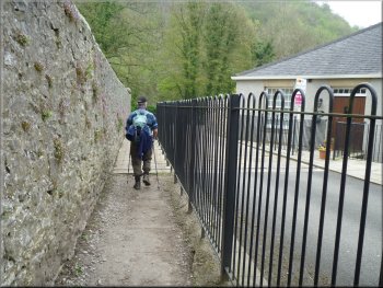
Permissive path through the yard at Litton Mill
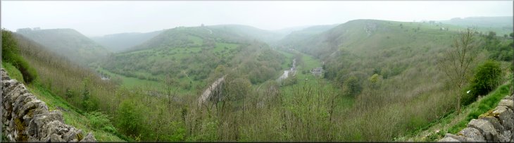
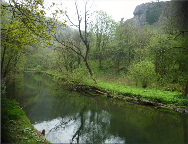
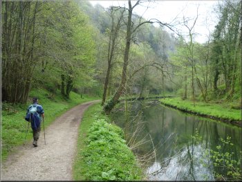
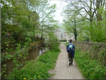
We followed this path by the river for about 2km to the village of Cressbrook. All the way the river is in a steep sided valley with high limestone cliffs most of the way. It's a beautiful and spectacular place. |
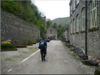
We Turned off the road to walk along a permissive path through the yard of Litton Mill which is now a residential apartment block. Beyond the mill yard we came to a very attractive path along the riverside.
Start of the path by the Wye from Litton Mill to Cressbrook
|
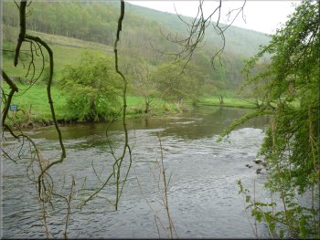
The River Wye between Litton Mill and Cressbrook . . .
The River Wye between Litton Mill to Cressbrook
|
The River Wye between Litton Mill to Cressbrook
|
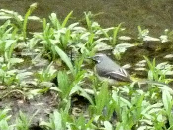
Grey wagtail feeding on the mudbank by the River Wye
|
Path beside the River Wye
|
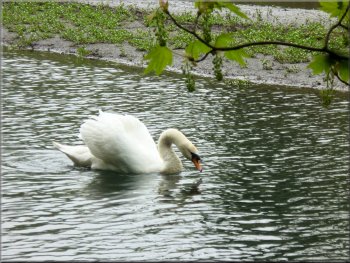
Swan on the River Wye - his mate was sitting on a nest nearby
|
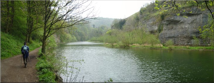
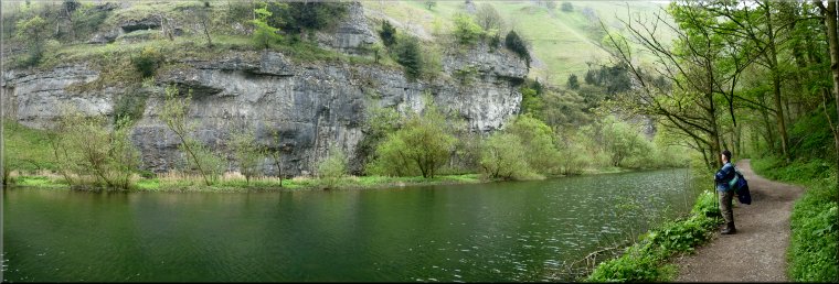
Most of the way between Litton Mill & Cressbrook the River Wye is bordered by limestone cliffs
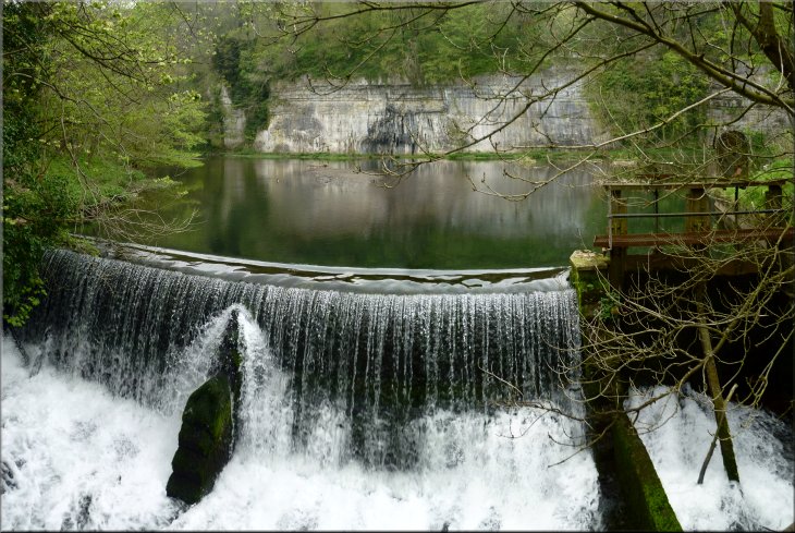
Weir on the River Wye at Cressbrook
|
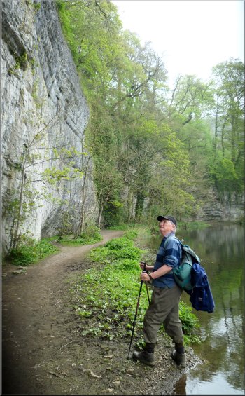
Path at the foot of the cliffs at Cressbrook
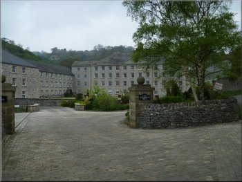
Cressbrook Mill now converted to residential apartments
The route including the steep climb out of the valley at the start and much gazing at the wonderful scenery. From the car park we drove home after a memorable three days of walking in the Derbyshire Peak District. |
At Cressbrook we had a look at the weir and then joined the road to walk along the valley for about 1km back to the car park and the end of our walk. The whole route had been only 8km but it had taken us around three hours to walk.
The path into Cressbrook
The path into Cressbrook
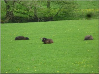
Jacob's sheep at Cressbrook
|
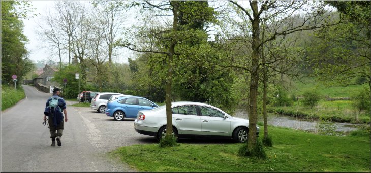
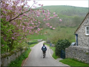
Returning to the car park at the end of our walk
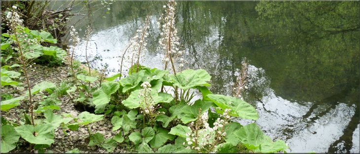
Some of the wild flowers we passed along the way . . . |
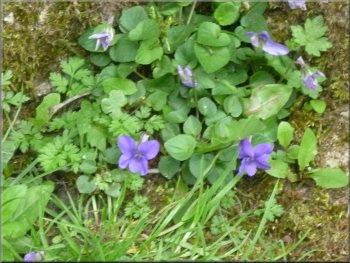
Violets
|
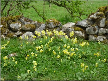
Cowslips
|
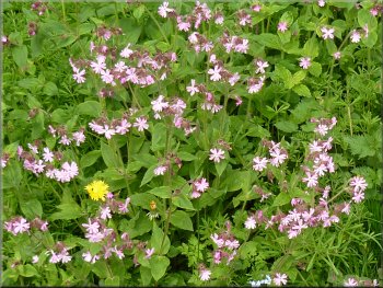
Red campion
|
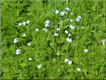
Forget-me-nots
|
|
|
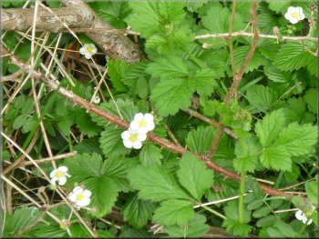
Wild strawberries
|
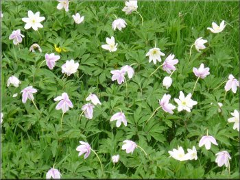
Wood anemones
|
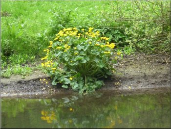
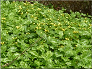
Kingcups
|
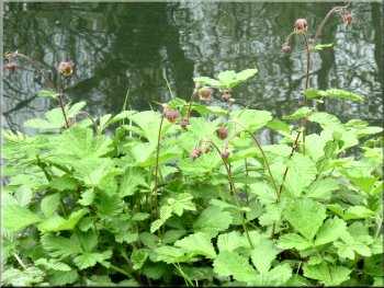
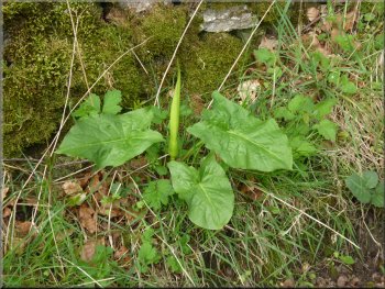
Water aven just coming into flower
|
|