| 2001 walks | 2002
walks | 2003 walks | 2004
walks |
| 2005 walks | 2006
walks | 2007 walks | 2008
walks |
| 2009 walks | 2010
walks | 2011 walks | 2012 walks |
| 2013 walks | 2014 walks | 2015 walks | 2016 walks |
| 2017 walks | 2018 walks | 2019 walks |2020 walks |
| 2021 walks | 1993-2000 library | Find a Route Index |
| A few Routes to print out | Request a Route... |
Route No. 555 - Thursday 26 June 2014
Danby Beacon, Nean Howe Rigg, Easington High Moor,
Scaling Dam Reservoir, Brown Rigg circuit - 11km
North York Moors . . .
Route map from Ordnance Survey
Open Space service.
Map: OS Explorer OL27 North York Moors Eastern area
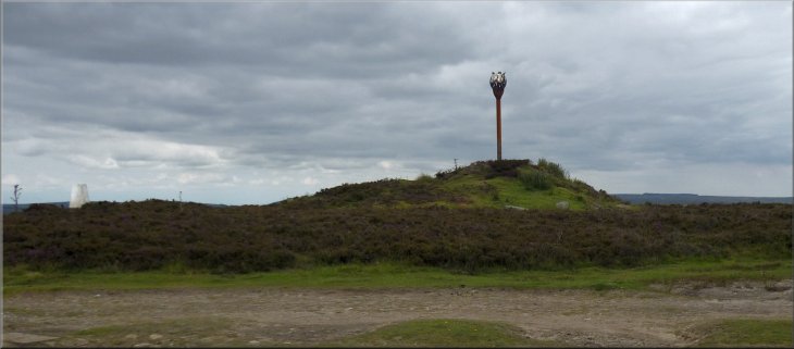
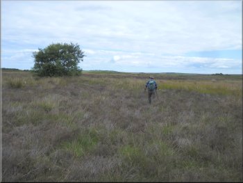
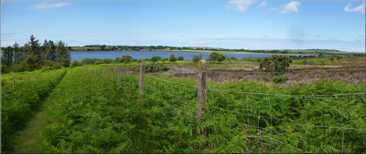
Danby Beacon
|

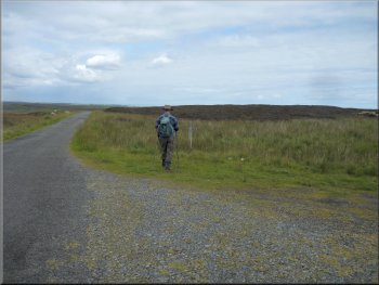
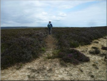
The road heading north west from Danby Beacon
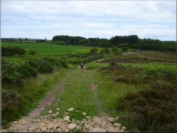
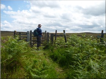
There are numerous paths & tracks but generally not where the public rights of way are shown on the map. We intended to use my GPS gadget to keep us on track across the moor. From Danby Beacon we set off along the road heading north west for about 550m to a track on the right hand side of the road. |
This morning my mate, Jim, and I drove out to Danby Beacon at map ref. NZ736093 on the northern edge of the North York Moors National Park above the village of Danby. We planned a circular walk across Easington High Moor to Scaling Dam Reservoir and back but navigation across the moor is awkward.
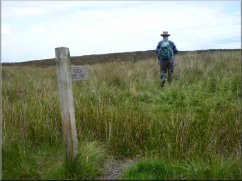
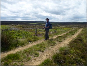
Sign post marking the bridleway to the right of the road
|
Sign post marking the bridleway to the right of the road

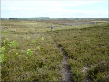
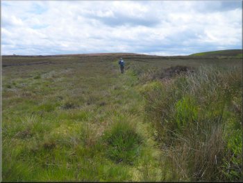
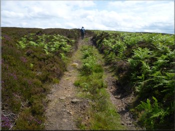
Feint path through the heather near Nean Howe
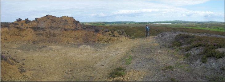
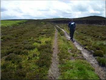
Here we turned right to follow the stony track. I was starting to think that my misgivings about navigating across the moor were unfounded when, after about 600m along the track we passed a small quarry on the left where the gravel had been won to surface the track. After the quarry the surface of the track changed from gravel to grass and then soon petered out all together. |
Here there is a finger post indicating a public bridleway running parallel to the road for about 500m to Nean Howe, an ancient burial mound. The start of the path is quite feint but then improves for a time before becoming almost invisible in the heather. We used the GPS to keep on track all the way along this path. At Nean Howe we came to a wide stony track crossing our feint path.
Short section of recognisable path
Stony track at Nean Howe
|
Small quarry where the stony track becomes a grassy track
|
Using the GPS to follow the route of the path
Using the GPS to follow the route of the path
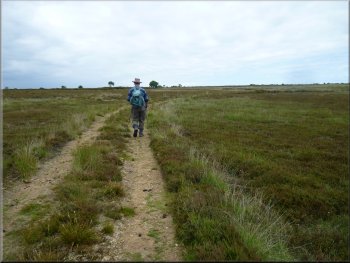
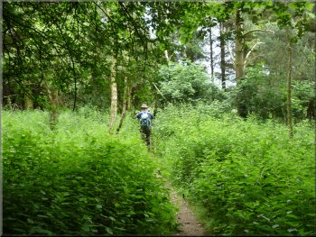
We continued to use the GPS to stay on track, sometimes finding a path of sorts and sometimes making our way over the rough moor. |
At map ref. NZ732110 where the map shows a fork in the path we could see no sign of the path straight ahead but we did find a narrow path hidden amongst the heather which the GPS confirmed was along the line of the right hand fork.
Narrow path through the heather for a while
Gravel track at map ref. NZ736121
|
Following the gravel track towards Scaling Dam Reservoir
|
The gravel track became a grassy track
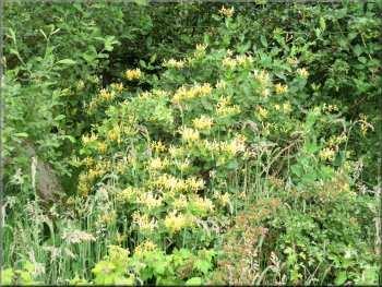
Honeysuckle in the hedge by the track
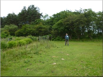
We went through a pedestrian gate at the side of the main field gate onto a grass track following the edge of the strip of woodland out towards the A171. About 70m before we reached the main road we turned right off the track to follow a water company permissive path almost hidden in the bracken. |
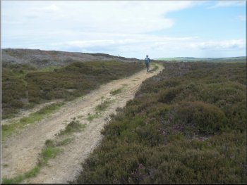
About 1km from the 'fork' in the path we came to another gravel track at map ref. NZ736121. We followed this track for about 200m before it become a grassy track and continued for another 150m to a gate at the edge of a strip of woodland, map ref. NZ738123.
Gate to a track leading out to the A171
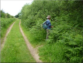
Turning off the track hidden in the bracken
|
Permissive path around the reservoir
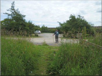
Car park at the western end of the reservoir
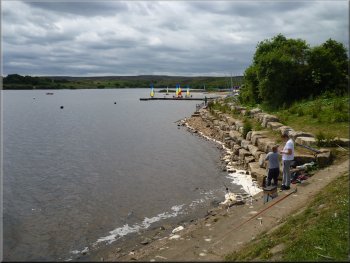
Anglers fishing from the dam
The path took us along the crest of the dam where numerous anglers were fishing and further along there were family groups of greylag geese resting on the top of the dam in the sunshine. They all took to the water as we approached. |
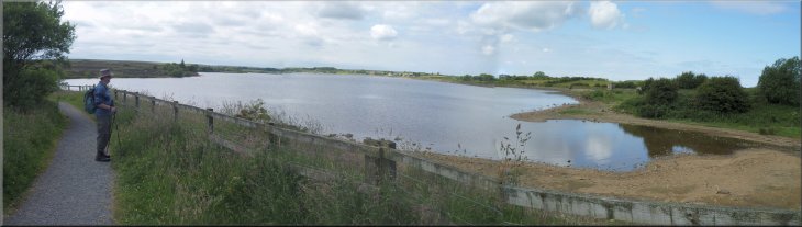
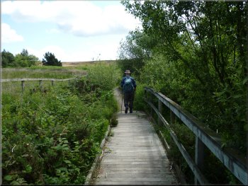
This path led us through a pedestrian gate and through the woodland to the Public car park at the western end of Scaling Dam Reservoir. We continued through the car park, past the administration building to continue along the permissive path around the reservoir.
Path through the woodland to the reservoir car park
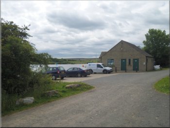
Admin building at the reservoir
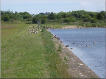
Families of greylag geese on the dam
|
Permissive path along the crest of the dam, part of the "Circular Walk"
|
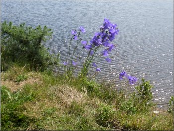
Large bell flower growing on the dam
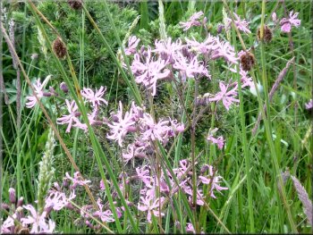
Ragged Robin in the marshy land east of the reservoir
Path to the eastern car park
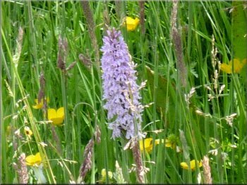
From this car park we continued along the permissive path through a very attractive marshy area full of wild flowers including a large patch of ragged robin and numerous pyramid orchids. |
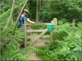
We continued along the permissive path, referred to as "Circular Walk" on the sign posts along the way, until we reached the public car park at the eastern end of the reservoir. At this car park there is a caravan selling hot food & drinks, a good spot for a lunch break.
Continuing along the Circular walk to the eastern car park
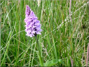
Pyramid Orchid in the marshy land east of the reservoir
Caravan serving hot food & drinks at the eastern car park
|
Permissive path at the eastern end of the reservoir
|
Another of the many orchids at the eastern end of the reservoir
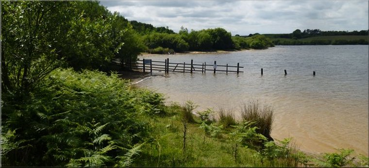
The reservoir viewed from the southern shore
Gate on to the open moor
After about 350m at a right angle corner in the fence(map ref. NZ745120), the permissive path turns right to continue around the reservoir. Here we kept straight on along the route of a public footpath. |
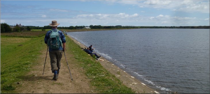
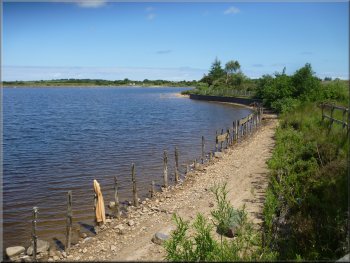
From this end of the reservoir and around it's southern edge the path is very pretty passing along the shore and through woodland & bracken with wild flowers all over. After about 1km along the southern edge of the reservoir the path turns away from the reservoir.
Permissive path around the eastern end of the reservoir
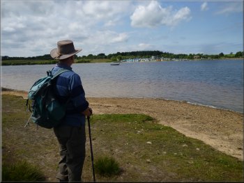
The reservoir viewed from the southern shore
We followed the edge of the earthwork
|
A last look back at the reservoir from the gate on to the open moor
|
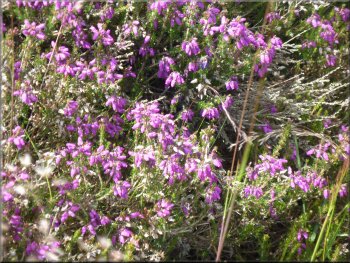
There were patches of bell heather in bloom all over the moor
It will be another month before the ling heather is in flower
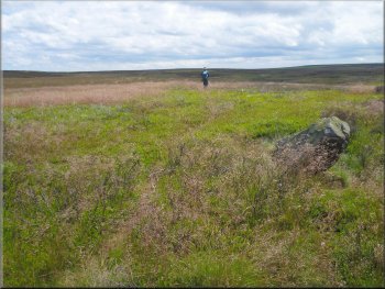
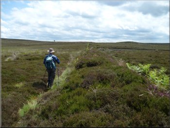
Using the GPS to navigate across the moor
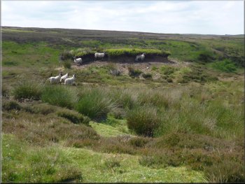
Sheep refuge under this peat hag
At this track we turned right to follow the track across the moor for about 400m to map ref. NZ745111. Here a footpath bears off to the right but we continued straight ahead following the route of a public bridleway along a moorland track. |
There is an earthwork of some kind running along the line of the path but very little sign of the path on the ground. We walked along the eastern edge of the earthwork where the change in vegetation caused by the earthwork makes for easier walking. After a few hundred meters the earthwork ended and we continued to rely on our GPS gadget to guide us across the moor until we reached a well defined track at map ref. NZ747113.
Continuing to walk alongside the earthwork
The trusty GPS brought us safely to this track
Following this moorland track to Brown Rigg End
|
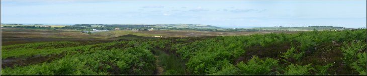
Looking back to the coast from the track at Brown Rigg End
|
The track leading up to Brown Rigg End
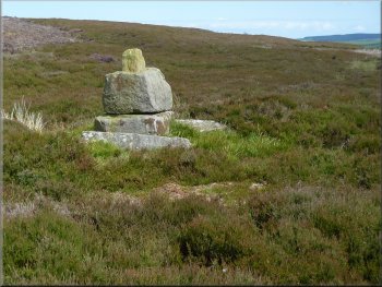
Stump Cross about 100m off the track at Brown Rigg End
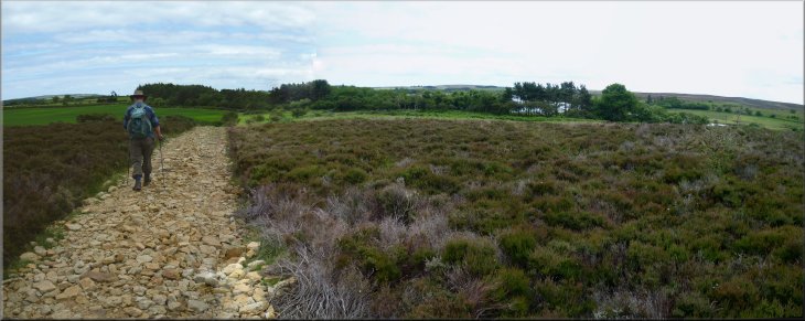
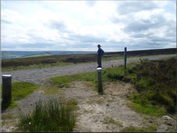
At the by-way we turned right and walked along this track for about 600m back to Danby Beacon and the end of our walk. The weather had been perfect and it was quite good fun using the GPS to find our way across the moor. We had a last look at the 360 degree panorama from Danby Beacon before driving home. |
We continued along this track for another 2km to Brown Rigg End and the moorland by-way at map ref. NZ743093. Just before we reached this track there were the remains of an old moorland cross about 100m east of our track so Jim sprinted across the heather to get a photo for me (my sprinting days are long gone & Jim's older than me!)
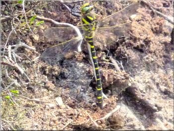
A female Common Hawker dragonfly (the males are blue where the female is yellow) resting on the heather by the track. They live around moorland bog pools.
By-way from Lealholm Rigg to Danby Beacon
|
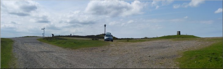
The parking area at Danby Beacon at the end of our walk
|