| 2001 walks | 2002
walks | 2003 walks | 2004
walks |
| 2005 walks | 2006
walks | 2007 walks | 2008
walks |
| 2009 walks | 2010
walks | 2011 walks | 2012 walks |
| 2013 walks | 2014 walks | 2015 walks | 2016 walks |
| 2017 walks | 2018 walks | 2019 walks |2020 walks |
| 2021 walks | 1993-2000 library | Find a Route Index |
| A few Routes to print out | Request a Route... |
Route No. 624 - Thursday 2 June 2016
West Burton, Newbiggin, Thoralby, Eshington Bridge,
Aysgarth church, Hestholme Bridge circuit - 11km
Wensleydale . . .
Route map from Ordnance Survey
Open Space service.
Map: OS Explorer OL30 Yorkshire Dales Northern & Central Areas
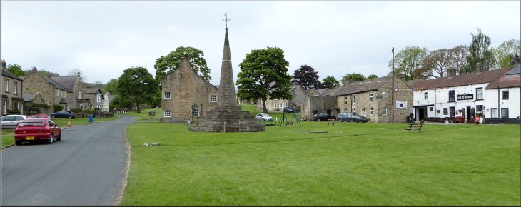
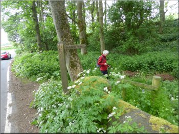
The market cross on the village green at West Burton
|
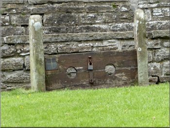
The old village stocks by the market cross
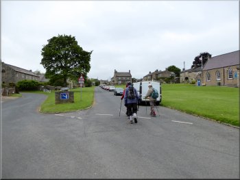
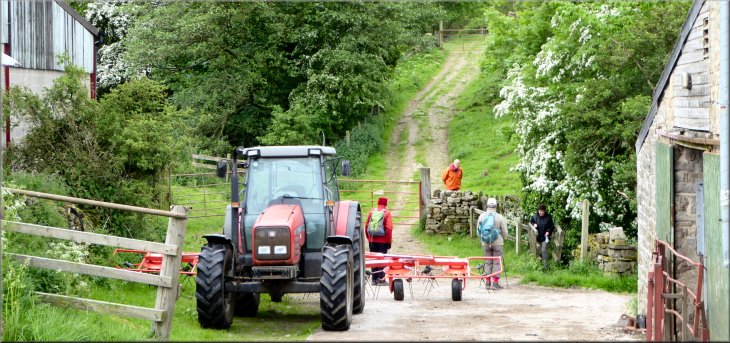
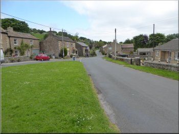
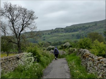
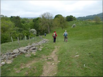
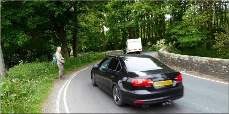
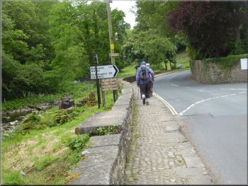
We parked on the roadside at the village green at map ref. SE 017 866 near the tall octagonal market cross with the old village stocks at its base. From the village green near the market cross we set off along the road out of the village in a south westerly direction towards Town Head Farm. |
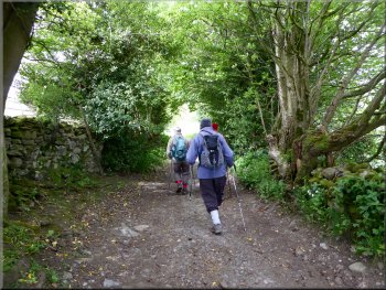
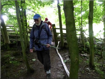
This morning my friend, Jim, & I drove to West Burton to meet Ray & Sylvia from Northallerton for another walk together. West Burton sits at the end of the tongue of land that separates Walden Dale and Bishopdale.
Setting off towards Town Head Farm
|
Dropping down past Town Head Farm to cross Little Beck
|
Footbridge over Little Beck
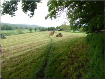
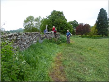
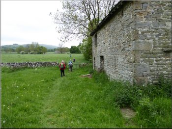
We passed a large stone barn with a small flock of ewes penned by the barn and their lambs congregated around the pen bleating. I assume the lambs had just been weaned (separated from the ewes to fend for themselves). |
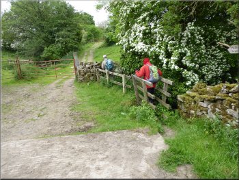
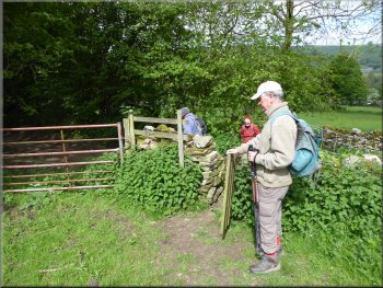
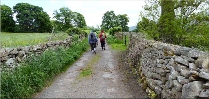
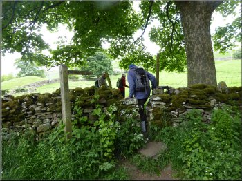
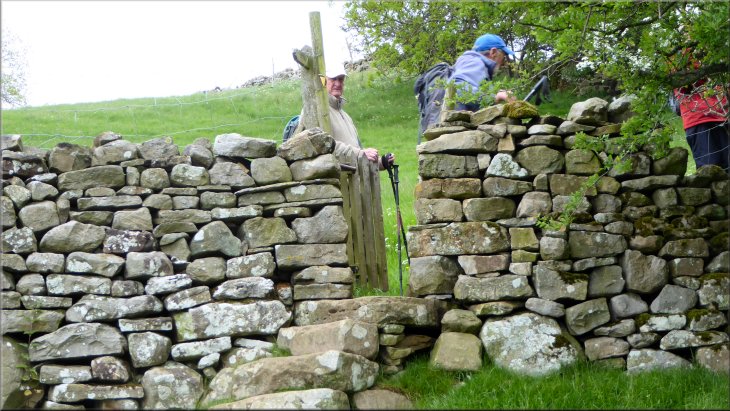
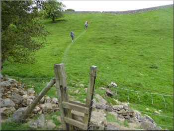
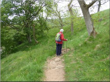
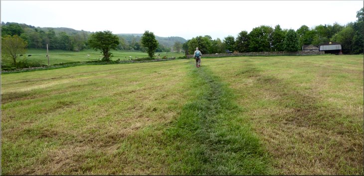
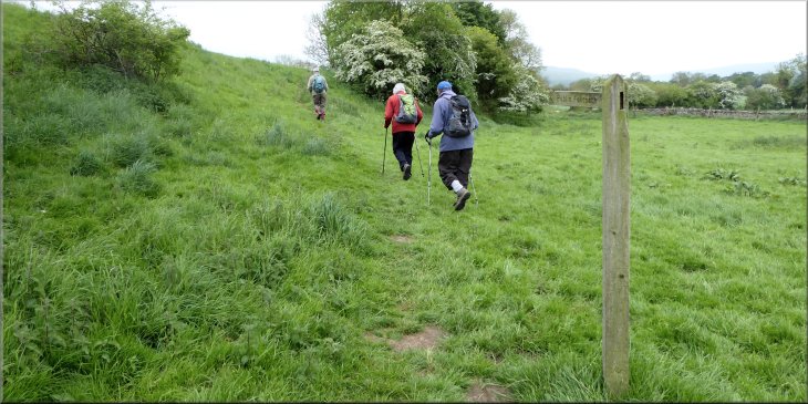
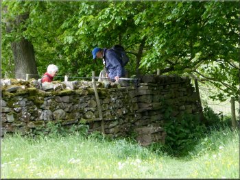
The road soon became a farm access track and dropped down past Town Head Farm to cross Little Beck. We followed the track up the slope and across the fields where the track became a footpath with a gated stile at each dry stone wall.
One of many stiles on the way to Newbiggin . . .
|
Following the path towards Newbiggin
|
. . . another stone squeeze stile . . .
Stile onto Ox Pasture Lane
Ox Pasture Lane at the edge of Newbiggin
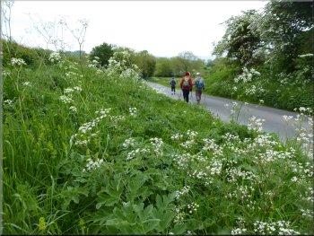
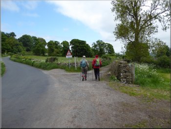
At the lane we turned left and followed the lane down to the road at the eastern edge of Newbiggin. At the road we turned right and followed the road for about 300m to cross the B6160, called Street Head Bank. |
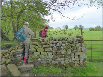
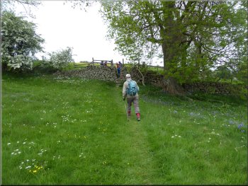
From here the path angled slowly down the Bishopdale side of the hill crossing the fields and numerous stiles to join a track called Ox Pasture Lane at map ref. SE 003 858.
. . . and another stone squeeze stile
Ox Pasture Lane heading for Newbiggin
Heading for the B6160 from Newbiggin
|
Crossing the Street Head Bank (B6160) heading for Thoralby
|
The lane through Thoralby
The lane through Thoralby
Turning onto Eastfield Lane
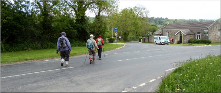
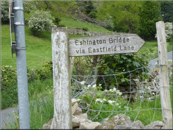
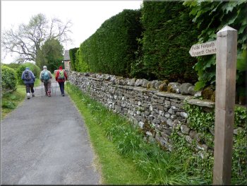
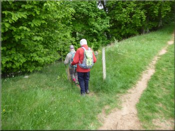
At the road junction we kept to the right and continued along the road out of the village for about 250m to a left hand bend in the road. Here we kept straight on leaving the main road and following a narrow lane called Eastfield Lane. There was a finger post at the start of the lane indicating that the lane leads to Eshington Bridge. |
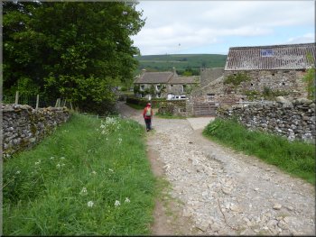
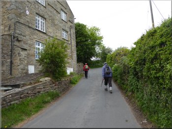
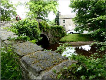
From the B6160 we followed the road across Mill Bridge over Bishopdale Beck and up into Thoralby. We walked through the village passing the old village pinfold on our left and on to a triangular village green at the road junction near the George Inn on Westfield Lane.
The lane through Thoralby
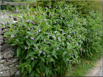
A patch of borage on the roadside
Turning onto Eastfield Lane
|
Eastfield Lane heading for Eshington Bridge
|
Lush foliage along Eastfield Lane
Turning away from Eshington Bridge at the end of Eastfield Lane
After just a few metres we turned left off the road to cross a stile and follow a footpath climbing up the field to a stile at the top. |
We followed the lane past Spickels Farm to the road at Eshington Bridge. At the road we turned left away from the bridge.
Looking across the valley to the slopes of Pen Hill
Turning left off the road heading across the fields to the A684
|
Following the path from Eshington Bridge towards the A684
|
Following the path from Eshington Bridge towards the A684
Crossing the steep sided little valley heading to the A684
The start of Church Lane off the A684
At the A684 we crossed the main road and then followed a the narrow Church Lane down through the huge graveyard to St. Andrews Church, Aysgarth. |
We continued along the footpath to the crest of the hill with a lovely view back across Bishopdale to Pen Hill. The path then drops down a steep sided little valley and climbs up again to the A684 at map ref. SE 013 883.
About to drop down the steep slope into a little valley
Crossing the A684 from the field path
Path through the graveyard
|
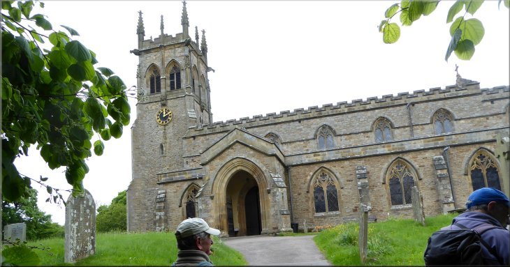
Approaching St. Andrews Church along the path through the graveyard
|
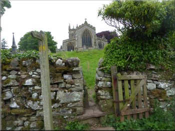
Looking back along the path to St. Andrews church
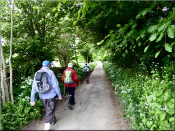
Following the path through the wood
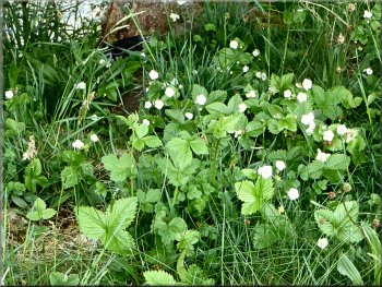
Patch of wild strawberries by the path
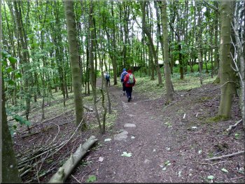
We followed the path through the wood and emerged into the fields beyond the wood. Here the path forks and we kept to the left hand fork following the field boundary down the hillside to the wooded bank of the River Ure. |
The public footpath goes up to the church and turns right along the side of the church to leave the church via another part of the graveyard and out to the fields above the River Ure. The path drops down from the church and then climbs up to a small wood.
Entering the wood on the path from the church
Heading down the valley side towards the River Ure
Path dropping down to the edge of the river
|
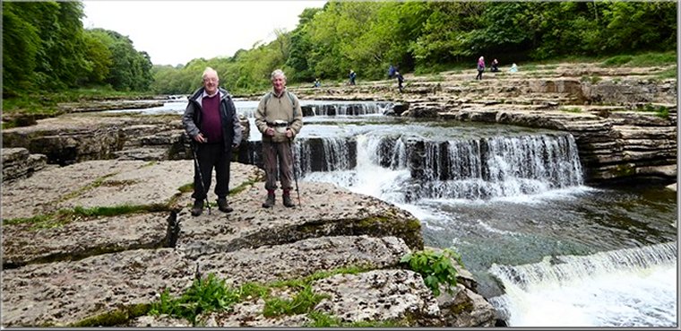
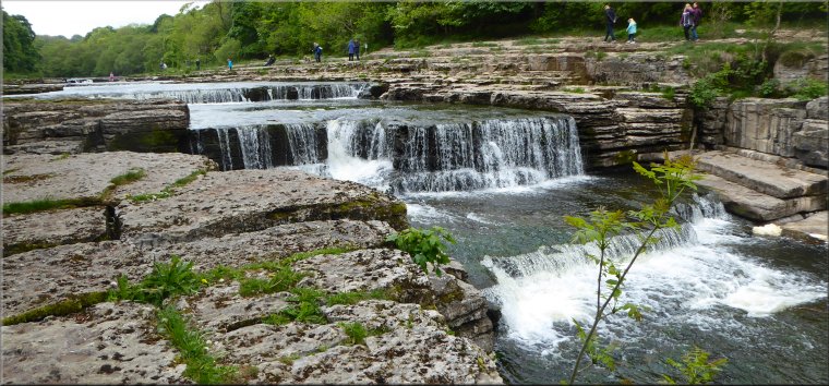
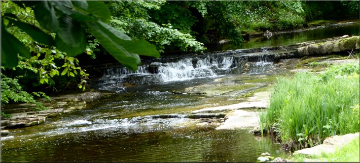
Jim & me at Lower Force on the River Ure (thanks for the photo Ray)
|
The riverside path next to Lower Force

A last look at the River Ure before the path turned away
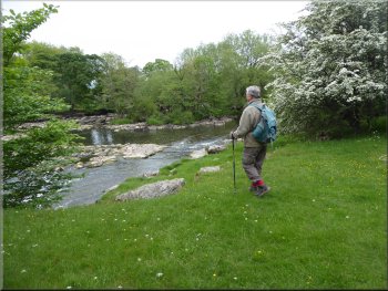
We continued along the public footpath along the river bank and across the fields to the A684 at Hestholme Bridge over Bishopdale Beck on its way to join the River Ure at "Froddle Dub" about 250m downstream. |
There was a path down to the rocky river side at Lower Force that gave us a lovely view of the falls. There were lots of people on the other side of the river that can be accessed from the Aysgarth Visitor Centre (map ref. SE 011 887).
The River Ure below Lower Force
Joining the A684 from the field path at Hestholme Bridge
|
Walking along the A684 across Hestholme Bridge over Bishopdale Beck
|
Turning off the A684 at Hestholme Bridge
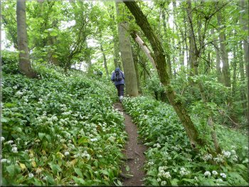
Carpet of wild garlic (ramsons) in the wood
The path climbed up through the wood to a large field where the first cut of grass had just been taken for silage and there were two tractors working to remove some incongruous ornamental conifers from the field edge. |
We crossed Hestholme Bridge keeping tight to the parapet wall to avoid the busy traffic. A few metres across the bridge on the right hand side of the road we turned off the road to follow a public footpath through a small wood full of wild garlic.
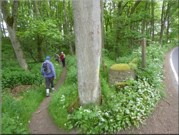
Path into the woods off the A684 at Hestholme Bridge
Path across the field from the wood to Edgley
|
Crossing the freshly cut grassland heading for the hamlet of Edgley
|
Turning off the road in Edgley
The Rocket Ship folly above Sorrel Sykes Farm
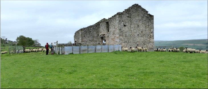
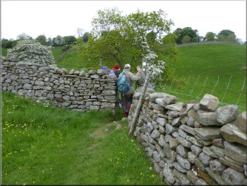
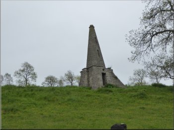
Above the path on one of the limestone terraces there are a some follies built in the mid 1800's. The first conical tower with stone buttresses is known as "The Rocket Ship", then there is a small gateway construction and then a round conical structure called the "Pepper Pot", which was used as a smoke house for curing bacon. |
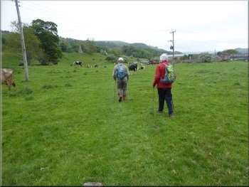
We followed the path across the field to the B6160 in the hamlet of Edgley. At the road we turned right and walked along the road for about 120m, then turned left off the road to follow a public footpath across the pasture land where a large herd of dairy cattle was grazing. The path leads below a limestone hillside past Sorrel Sykes Farm.
Crossing the pasture towards Sorrel Sykes Farm
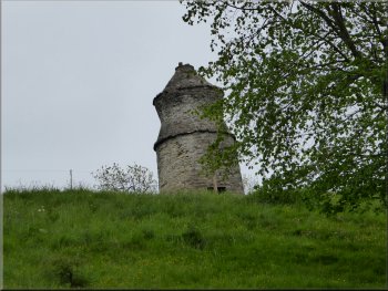
The Pepper Pot folly above Sorrel Sykes Farm
|
Heading southwards from Sorrel Sykes Farm towards West Burton
|
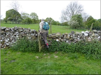
Another stone stile on the path back to West Burton
Stile onto the lane near Flanders Hall
Burton Bridge over Walden Beck
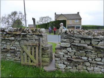
We followed the lane across a bridge over Walden Beck to join the B6160 on the edge of West Burton. We followed the road alongside the beck, leaving the B6160 where it turned right. |
We continued along the public footpath across the fields to a farm access lane at map ref. SE 020 872, near Flanders Hall.
Stone barn on the path from Edgley to West Burton
The lane past Flanders Hall
Leaving the B6160 heading back into West Burton
|
Natural weir on Walden Beck seen from the road back into West Burton
|
Following the road back into West Burton
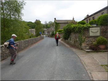
We crossed the road back to our cars by the village green and the end of our walk. The whole route had been about 11km and it had take us (well me actually, because the other three we very kind and kept on waiting for me to catch up) over three and a half hours to walk. |
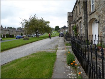
We followed the road back into West Burton and noticed a poem the "The Dipper" carved into a paving stone by the village green. The poem is written in local dialect and I think the line "Fer curtsey after curtsey" refers to the dippers habit of bobbing up and down as it stands on rocks amongst the fast flowing water that it likes.
Back at the village green at the end of our walk
|
|

|