| 2001 walks | 2002
walks | 2003 walks | 2004
walks |
| 2005 walks | 2006
walks | 2007 walks | 2008
walks |
| 2009 walks | 2010
walks | 2011 walks | 2012 walks |
| 2013 walks | 2014 walks | 2015 walks | 2016 walks |
| 2017 walks | 2018 walks | 2019 walks |2020 walks |
| 2021 walks | 1993-2000 library | Find a Route Index |
| A few Routes to print out | Request a Route... |
Route No. 633 - Wednesday 27 July 2016
Allenheads, Dirt Pot, River East Allen,
Spartylea Br, Elpha Green, Burnfoot circuit - 10km
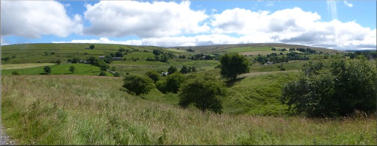
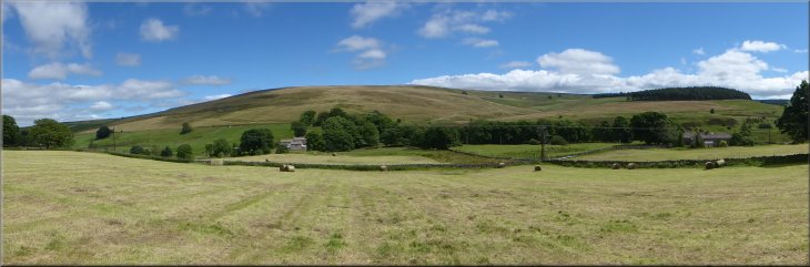
Northumberland . . .
Route map from Ordnance Survey
Open Space service.
Map: OS Explorer OL31 North Pennines
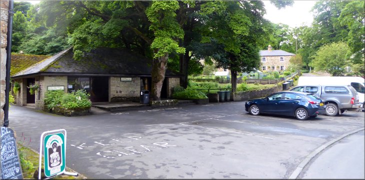
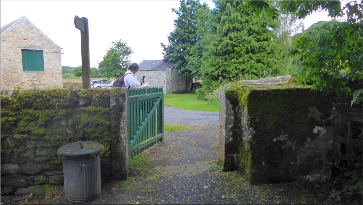
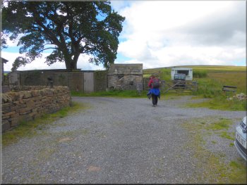
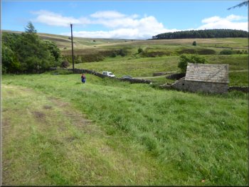
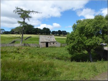
The small parking area in Allenheads in front of the Armstrong hydraulic engine museum
|
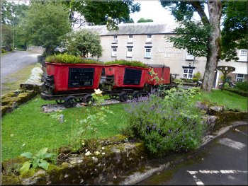
Mining tubs in front of the Allenheads Inn
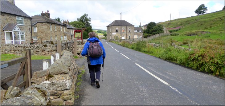
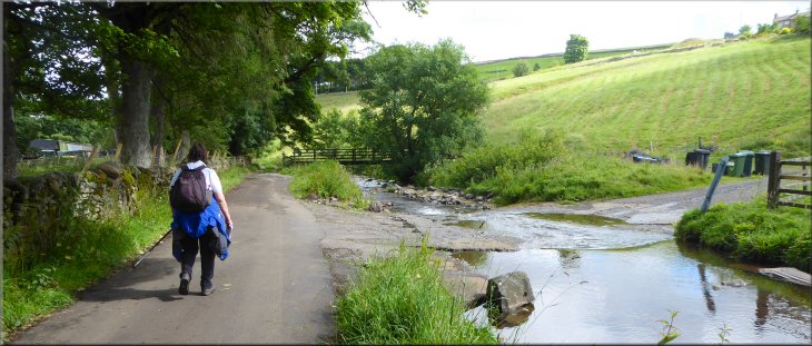
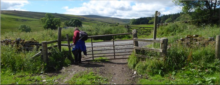
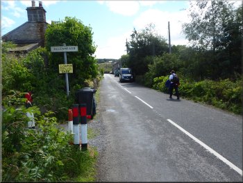
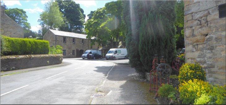
We parked in front of the museum at map ref. NY 859 453. There's a nice cafe there too where we had a coffee before starting our walk. From our parking spot we set off along the access track passing the Allenheads Inn on our right. |
This morning my wife and I drove to the village of Allenheads on the B6295 about 6km north from the River Wear. In the centre of the village, just off the B6295, is a small museum where the Armstrong Water Powered Engine from the 19th Century is displayed.
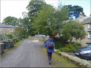
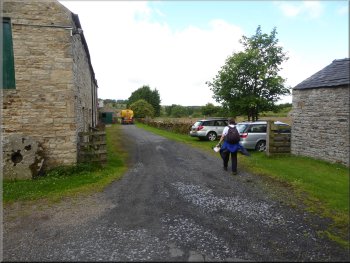
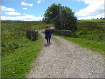
Setting off on the access track in front of the Allenheads Inn
|
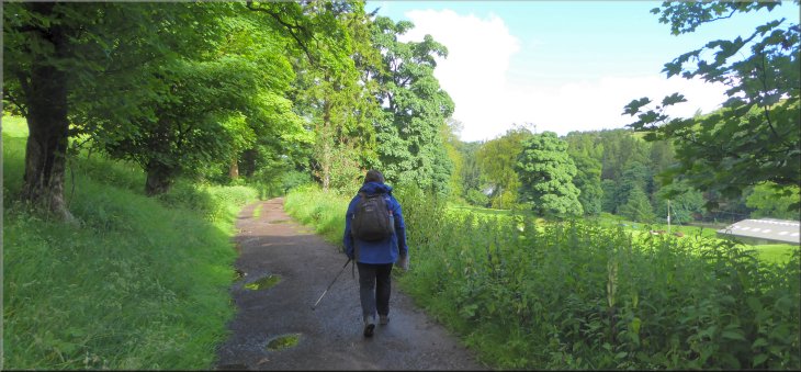
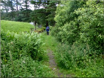
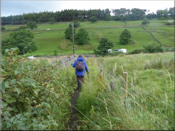
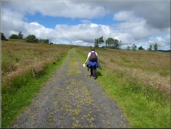
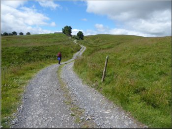
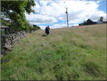
The access track heading north west from Allenheads at the start of our walk
|
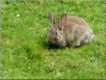
There were rabbits everywhere
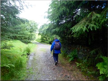
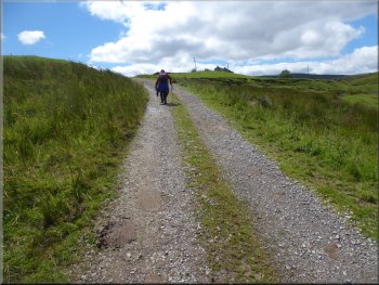
The grassy path soon became a stony track
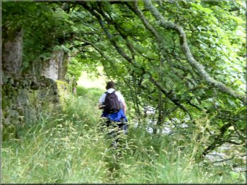
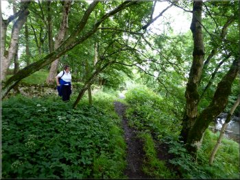
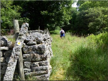
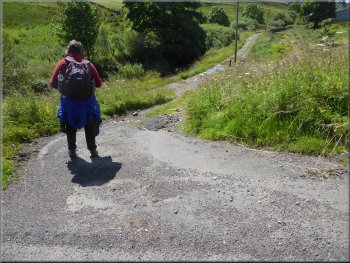
After about 100m where the track had become a drive to a private property the path turned sharp right between a fence line on the left and some bushes & trees on the right. The path bent round to our left with a row of tall pine trees on the right. |
After about 200m the access track bent round to the right and we kept straight on off the left of the track along a grassy path through the trees. The grassy path soon became a stony track.
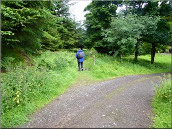
Keeping left along a grassy path off the stony access track
Path to our right off the drive to a private house
|
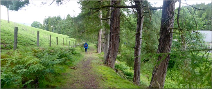
Path edged by pine trees with the River East Allen below on the right
|
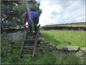
Our path joined the access track at High Shield
. . . track down hill from the stone house to a stone cottage
Path down the hillside from the stone cottage
Just before this property we turned right again down a narrow rather overgrown path straight down the hillside. We followed this path down to a footbridge across the River East Allen and on to the road heading north west from Allenheads village. |
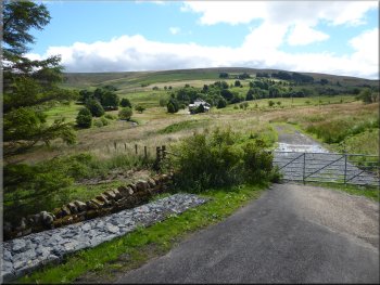
The path joined another access road and began climbing up the hillside with a large stone built house at the top of the slope. Here we kept to the right hand track and after another 50m we turned right down the access track to another property.
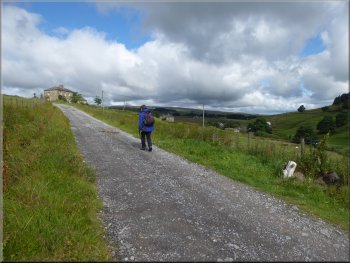
Following the access track uphill to a large stone house . . .
Path down the side of the stone cottage
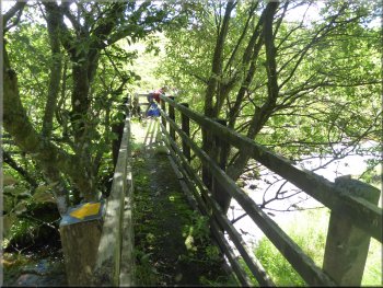
Footbridge over the River East Allen to the road
|
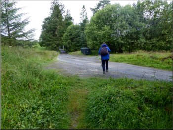
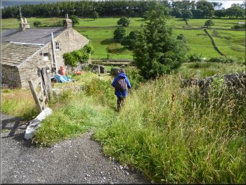
Following the road through Dirt Pit (the education centre is ahead to the right)
|
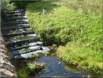
Cascade on the River East Allen in Dirt Pit
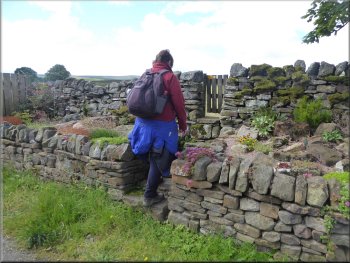
Turning left to cross the River East Allen
We walked along the road for about 150m to a sign post just off the road on our right. We turned right off the road here and followed a narrow path past the sign post and down towards the river. |
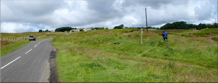
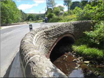
We followed the road for about 400m through the little settlement of Dirt Pot to a road junction at map ref. NY 851 464. We turned left at the road junction and crossed the road bridge over the River East Allen.
Following the road through Dirt Pit
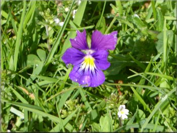
Wild pansy by the roadside
|
Turning off the road following the path by the sign post
|
Path from the sign post heading to the river bank
Overgrown path along the river bank
The riverside path joins the road here
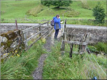
We walked along this narrow very pleasant lane for about 250m to the point where the road turns sharp right to cross a ford through the river. |
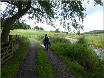
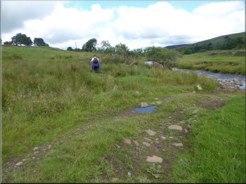
We continued along path down to the river bank and followed the river bank path to Peasmeadows. We continued along the riverside beyond Peasmeadows for about 200m until we reached a narrow road at map ref. NY 849 473.
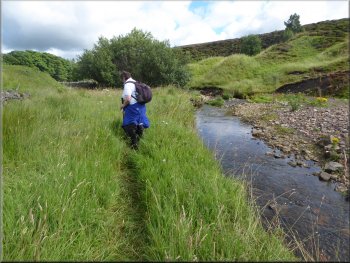
Narrow path along the river bank
Continuing along the pleasant riverside path
Following the road next to the river
|
The road turns sharp right here and crosses the ford over the River East Allen. Ahead is a stony farm access track
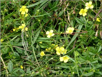
Wild Flowers along the river bank |
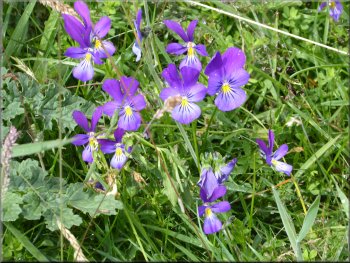
Tiny wild pansies
|
Tormentill
|
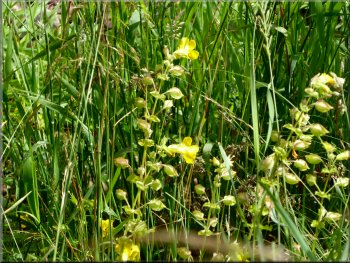
Yellow Rattle, the seed pods are starting to dry & rattle
|
Willowherb?
|
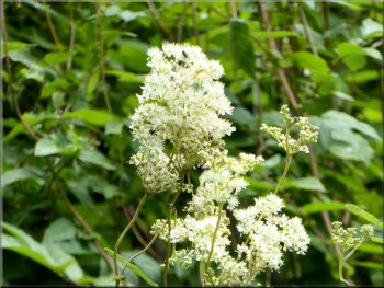
Meadow Sweet with a strong sweet scent
|
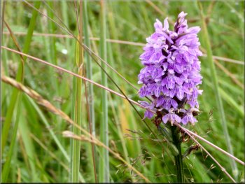
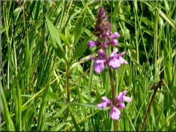
Wild Orchid
|
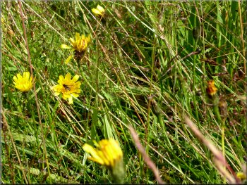
Smooth cat's ear, a type of dandelion
|
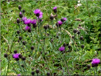
Knapweed
|
Following the farm access track from the ford along the river bank
|
Where the track bend left we keep straight on by the river
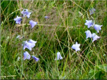
Harebells on the river bank
Continuing along the riverside path
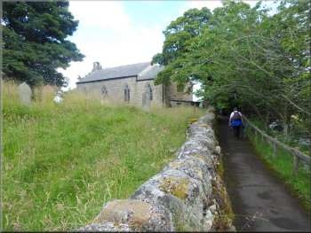
Here we kept straight on along a footpath still following the river bank for about 600m to a small church with a large cemetery on the river side. Here the path led us out to the road in the little settlement of Corn Mill. |
From the ford we continued along the western bank of the river along a stony track. After about 200m the track bends left heading for Coatenhill Farm Cottages.
Riverside path across the fields
Continuing along the riverside path
Approaching the church of St. Peter at Corn Mill
|
Reaching the road at Corn Mill from the riverside path by St Peter's church
|
The track through Corn Mill up to the road
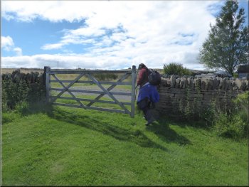
Gate on to the road from the Corn Mill track
Walking down the road to the junction at Spartylea Bridge . . .
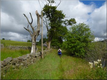
At the road junction we turned left and followed this road for almost 100m. Here there were numerous vehicles parked off the road on the right hand side opposite a stony track on the left leading up the hillside. |
At the road we turned left and followed the track from Corn Mill up the hillside for about 250 to the road at map ref. NY 847 486. At the road we turned right and walked along the road down the slope for about 150 to the road junction at Spartylea Bridge.
Climbing up to the road along the track from Corn Mill
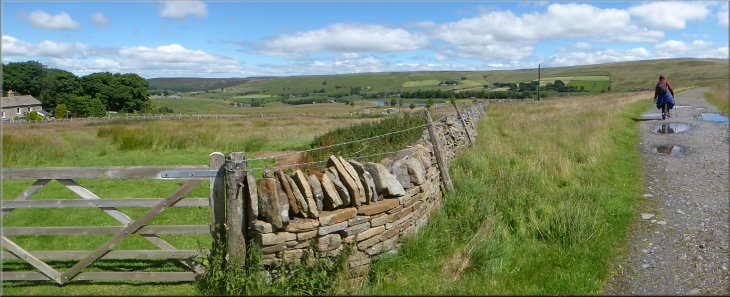
Looking back over Corn Mill and the River East Allen valley
. . . We turned left at the junction to follow this road
|
Turning off the road up the access track to Elpha Green farms
|
Track up the hillside to Elpha Green
Path out to the meadow from the first farm at Elpha Green
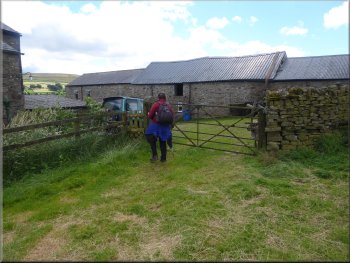
Gate into the second farm at Elpha Green
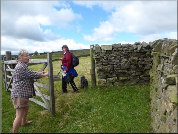
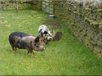
The lady farmer here was very friendly
The lady farmer was very friendly and we stopped and chatted for a while and she showed us her recently acquired Kune-kune pigs. I used to have a few pigs myself so it was all very interesting. After our chat we followed the path across the fields and out to a road at map ref. NY 840 482. |
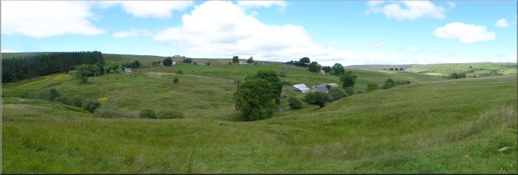
Here we turned left and climbed up the stony track for about 400m to the first of two farms called Elpha Green. Here we followed a path around the first farm and then southwards across a large meadow to the next farm also called Elpha Green. Here the farmer, a lady met us at the gate from the meadow with a small dog.
We turned right here at the first farm at Elpha Green
Looking back to the 1st farm at Elpha Green
Kune-kune pigs
We followed the path across the fields from Elpha Green
|
Turning left on to the road south west of Elpha Green (map ref. NY 840 482)
|
Turning off the road to the track by the Swinhope Burn
Track at Swinhope Mill(footbridge is just past the parked car)
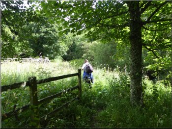
The path goes along the access road between the buildings and the burn to the end of the buildings where there is a footbridge across the burn on the left. We crossed the burn on the footbridge. |
At the road we turned right and walked down the road for about 100m to a sharp left hand bend. At the bend we turned right off the road to follow a stony track with Swinhope Burn on the left of the track for about 150m to Swinhope Mill.
Track by the Swinhope Burn
Footbridge over Swinhope Burn at Swinhope Mill
|
We crossed the Swinhope Burn on the footbridge
|
Looking back over the valley of Swinhope Burn
|
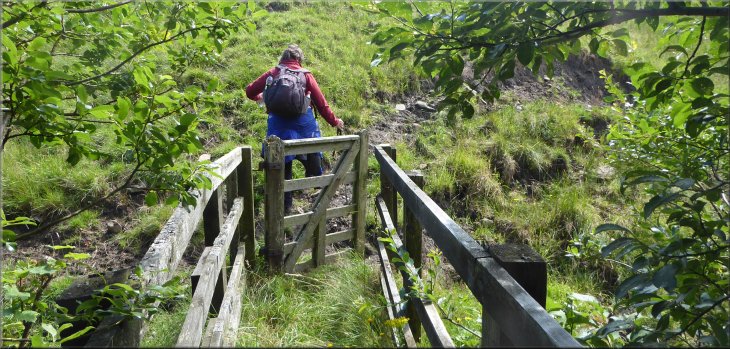
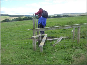
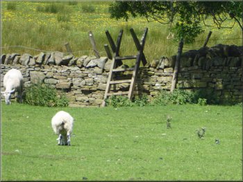
Stile at the top of a marshy bank
Path around White Ridge
We then turned left to follow the field edge south east to join the access track from White Ridge. We walked along the stony access track out to the road at map ref. NY 843 476. We crossed the road and took the footpath opposite across the fields. |
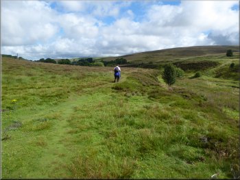
From the footbridge we followed the route of an indistinct path up a rather marshy hillside. Before we reached the properties at White Ridge the path crossed ladder stiles over the two walls on our right.
Path around White Ridge
Joining the access track at White Ridge
|
Following the access track from White Ridge out to the road
|
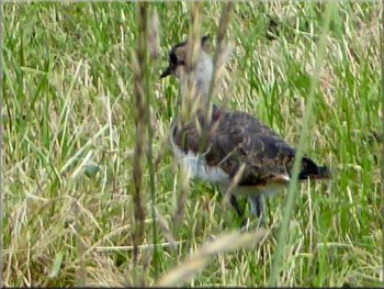
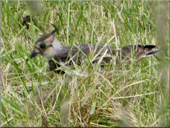
Young lapwing hiding in the long grass
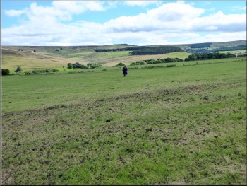
Path SE across the fields to Hammer Shields
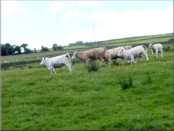
Cattle in full gallop
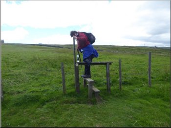
We continued along the path towards south eastern corner of the field where there is a ladder stile into the next field. The cattle began walking slowly towards us and as we neared the stile they broke into a full on gallop. We crossed the stile and they came to a halt nearby and settled down again as we continued across the next field, a quiet sheep pasture, to the road at map ref. NY 847 471. |
At the edge of the first field there was a fledgling lapwing keeping very still in the long grass. The parents were starting to become agitated but I had managed to get a couple of photos of the young bird and continued along the path as it dashed for better cover. We crossed the next field and came to the stile into the third field where there was a group of young cattle. As we crossed the stile they seemed to be taking a close interest in us.
Young lapwing hiding in the long grass
From this stile I saw the cattle taking a close interest in us
Looking back to the stile from the cattle field
|
We followed the path across the road at Hammer Shields
Looking south from the field path at Hammer Shields
|
Path across the fields to Burnfoot
Access track from Burnfoot
Access track from Burnfoot
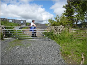
We dropped down a bank and crossed a ladder stile to join the access track next to the buildings. At the access track we turned right and walked along the access track for about 400m to the road at map ref. NY 849 464.
|
We crossed the road and crossed the stile opposite to pass around the northern side of Hammer Shields farm. We followed the path across the fields heading generally southwards to Burnfoot.
Stile to the access track at Burnfoot
Small out building at Burnfoot
Reaching the road where we turned left
|
Walking along the road to the bridge over the River East Allen
|
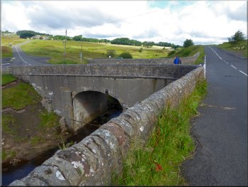
Bridge over the River East Allen
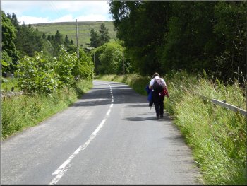
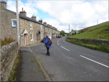
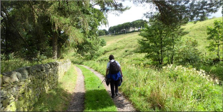
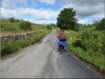
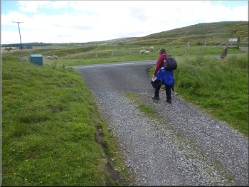
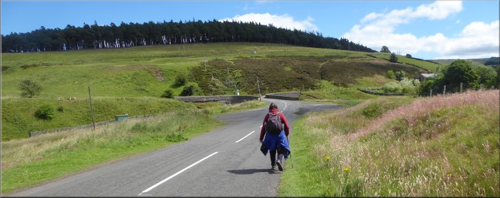
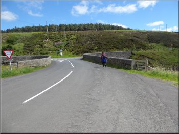
Road back to Allenheads
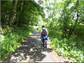
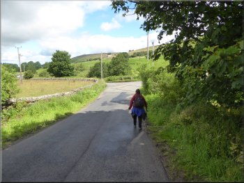
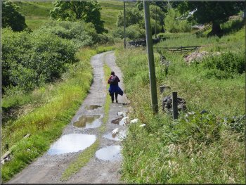
We walked along the road for about 1.5km back to our parking spot by the museum in Allenheads and the end of our walk. The whole route had been about 10km and it had taken me four hours to walk the route. |
At the road we turned left and walked along the road back across the bridge over the River East Allen to the road junction. At the junction we turned right towards Dirt Pit.
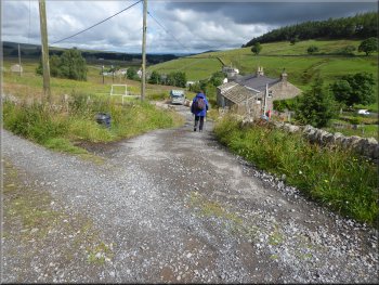
Road back to Allenheads
Road back to Allenheads
|
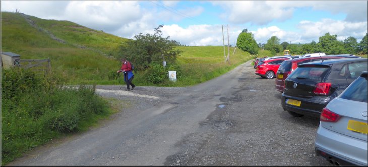
The end of our walk back at the car park in Allenheads
|