|
2001 walks |
2002
walks |
2003 walks |
2004
walks |
|
2005 walks |
2006
walks |
2007 walks |
2008
walks |
|
2009 walks |
2010
walks |
2011 walks |
2012 walks |
|
2013 walks |
2014 walks |
2015 walks |
2016 walks |
|
2017 walks |
2018 walks |
2019 walks |
2020 walks |
|
2021 walks |
1993-2000 library |
Find a Route Index |
|
A few Routes to print out |
Request a Route... |
Route No. 664 - Tuesday 4 April 2017
Great Stone of Fourstones, Ringstones farm,
Usherwoods farm circuit - 5km
nr. Ingleton, North Yorkshire . . .
Route map from Ordnance Survey
Open Space service.
Map: OS Explorer OL41 Forest of Bowland & Ribblesdale
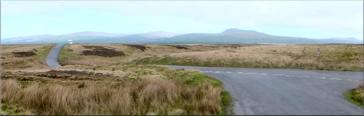
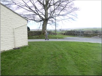
Looking across the moor to the Great Stone of Fourstones from our parking spot in the lay-by
|
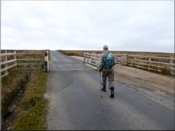
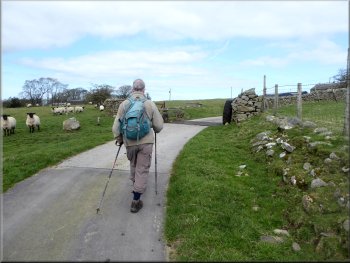
Cattle grid across the road on the Yorkshire/Lancashire border
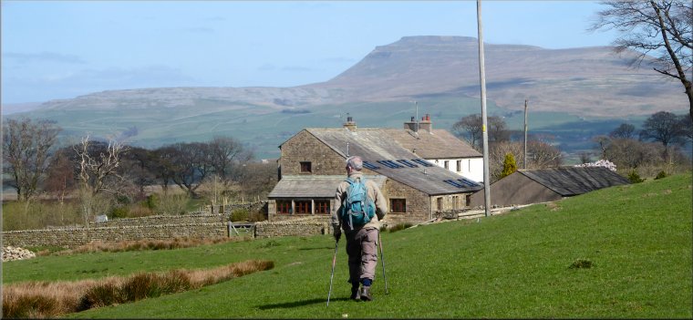
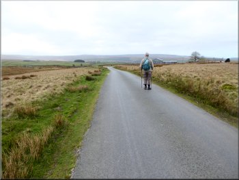
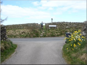
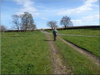
About 100m west of the road is The Great Stone of Fourstones in an area of open access moorland. More of this later. From the lay-by we set off along the road heading southwards across a cattle grid in the road at the North Yorkshire / Lancashire border. From the cattle grid we continued along the road for about 400m and then turned right at the road junction to walk along Ringstones Lane. |
My neighbour, Jim, and I are staying at a pub in Kirkby Londsdale for a few days. (We both have a 3-day pass from our respective wives) Today we drove from home along the A65 to Clapham where we turned on to the B6480 to High Bentham. From High Bentham we took the road heading south for about 3km to map ref. SD 671 663. Here there is a small lay-by where we parked.
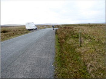
Heading southwards along the road
|
Looking back to the road junction where we turned into Ringstones Lane
|
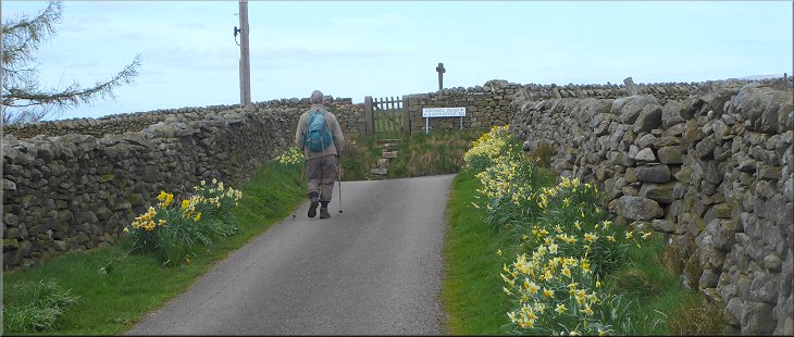
Ringstones Lane heading for Ringstones farm
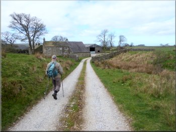
Following the access road to Ringstones farm
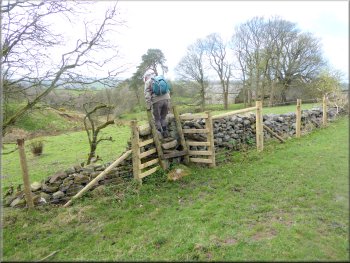
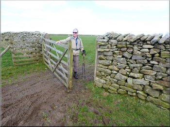
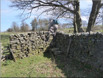
We followed the public footpath along the farm access road and at the farm buildings we turned left to walk though the farm buildings to a stile beyond them. |
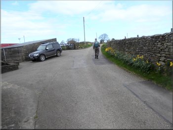
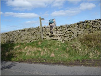
We walked along Ringstones Lane from the junction for about 700m to the access road to Ringstones farm. Here we turned right off the road to the farm.
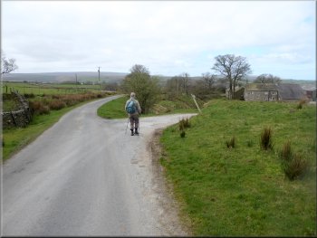
Turning right off Ringstones Lane to Ringstones farm
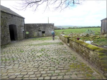
Walking through the farm buildings at Ringstones farm
|
Crossing the stile to the fields on the south side of Ringstones farm
|
Stile into a small conifer plantation
. . . it's a few meters along the wall to the right
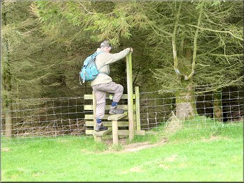
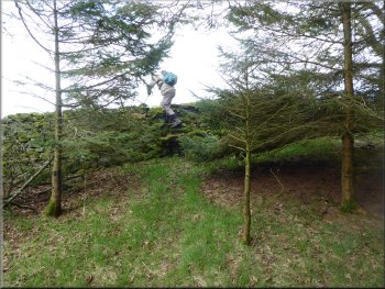
There is a stile in the wall a few metres from the corner of the plantation. We crossed stile from the wood into a field and almost at once crossed another stile on our left into the next field. We crossed this field passing the north side of Foss Bank farm to a step stile in the wall. |
From the stile we crossed the field east of the farm. In the far corner of the field we came to a stile into a small conifer plantation. We crossed the stile and continued through the plantation to a stone wall on the far side.
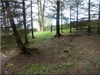
The stile out of the plantation is not in the corner . . .
And another stile into the field next to Foss Bank farm
|
Crossing the field next to Foss Bank farm
|
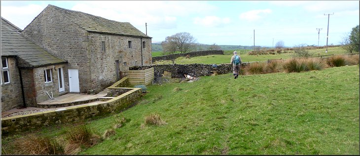
Looking back to Foss Bank from the access road to Beethams
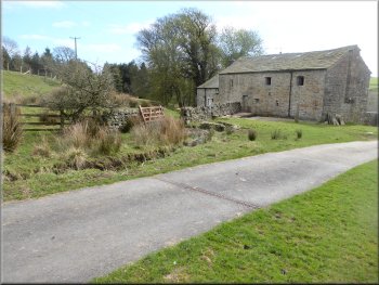
Re-joining the access road at Beethams
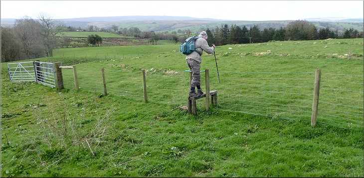
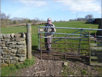
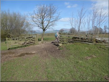
At the cattle grid gateway the public footpath heads across the field towards Rantree Fold farm. Then at the wall there is a public footpath back across the field next to the farm buildings to rejoin the access road at Beethams farm. All a bit bizarre! We followed the access road from Beethams farm out to Rantreefold Road at map ref. SD 660 658. |
We crossed this stile which took us onto a metalled access road heading generally northwards to Beethams farm. At this access road we turned right and walked along the access road towards Beethams farm. About 250m from Foss Bank farm we came to a cattle grid gateway where the farm access road turns right for the last 100m to Beethams farm but there's no right of way along this last 100m.
Nearing the cattle grid gate way at Beethams
Following the access road from Beethams to Rantreefold Road
|
Following the access road from Beethams to Rantreefold Road
|
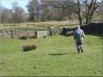
Crossing Rantreefold Road to the field path
Field path From Rantreefold Road to Whitepits Lane
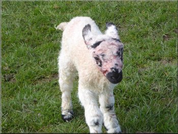
Just for a moment this new-born lamb mistook me for its mum
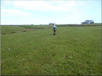
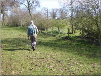
We continued along the public footpath across the field (the path is not worn on the ground we just navigated from the shape of the fields on the OS Explorer map). We followed the route of the path diagonally across the fields to a stile on to Whitepits Lane at map ref. SD 661 662. We crossed Whitepits Lane and climbed over the stone step stile opposite into the field. We followed the route of the public footpath across the field to Usherwoods farm. |
We crossed the road and climbed the steps up the bank at the road side to go through the pedestrian gate into the field. The field was full of ewes with their lambs and ewes about to lamb. Amongst some cotton grass to our left was the shepherd with his quad bike and two sheep dogs, tending to a ewe that was in the process of lambing.
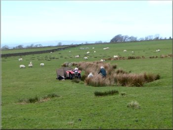
Shepherd tending to a ewe in labour
Following the path to Whitepits Lane
Stone step stile from Whitepits Lane
|
Approaching Usherwoods across the field from Whitepits Lane
|
Path leaving Usherwoods
Path from Usherwoods towards Fourstones Lodge
Track heading for Fourstones Lodge
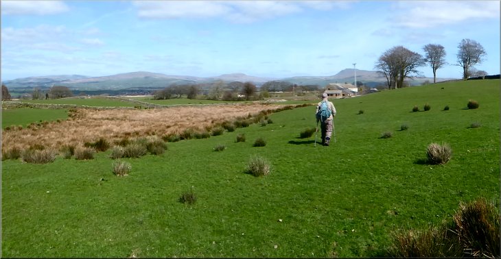
We passed to the north of the buildings and out to the open access land next to the farm at map ref. SD 668 665. From the edge of the open access land we followed the path southwards for about 250m to The Great Stone of Fourstones. |
On my map the path goes through the gardens of the houses at Usherwoods but there is a clear way in the field around the outside of Usherwoods and that's what we did. From Usherwoods we followed the public footpath eastwards to Fourstones Barn.
Path from Usherwoods towards Fourstones Lodge
Path heading towards Fourstones Lodge
Track passing to the north side of Fourstones Lodge
|
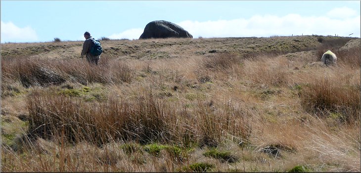
Heading across thee moor to the Great Stone of Fourstones
|
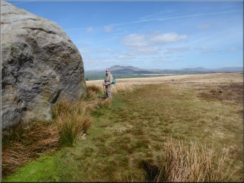
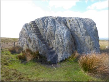
Looking at this large erratic boulder
The Great Stone of Fourstones
Looking back to the Great Stone of Fourstones
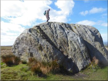
We climbed the stone steps cut into the side of the boulder and admired the view from the top. The three Yorkshire Peaks are clearly visible to the north and east. From the Great Stone we followed the path across the moor for about 100m back to our car at the lay-by and the end of our walk. The whole route had been almost 5km and it had taken me a little over two hours to walk the route on this lovely spring day. |
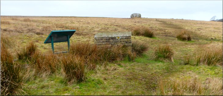
The Great Stone of Fourstones a very large erratic boulder left by the retreating ice at the end of the last ice age. It lies on the border between Lancashire and North Yorkshire. There were originally three other smaller boulders as well but the smaller ones have been broken up for good quality building stone in the distant past leaving just the biggest one of the original four.
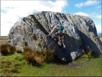
Climbing the stairs up the Great Stone of Fourstones
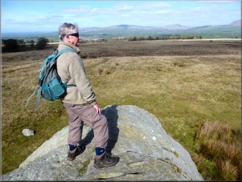
View from the top of the Great Stone of Fourstones
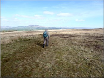
Crossing the last 100m of moor back to the car
|
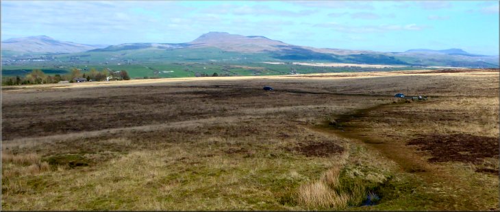
From left to right, Whernside, Ingleborough, & Pen y Ghent seen from the Great Stone of Fourstones
|