|
2001 walks |
2002
walks |
2003 walks |
2004
walks |
|
2005 walks |
2006
walks |
2007 walks |
2008
walks |
|
2009 walks |
2010
walks |
2011 walks |
2012 walks |
|
2013 walks |
2014 walks |
2015 walks |
2016 walks |
|
2017 walks |
2018 walks |
2019 walks |
2020 walks |
|
2021 walks |
1993-2000 library |
Find a Route Index |
|
A few Routes to print out |
Request a Route... |
Route No. 672 - Wednesday 24 May 2017
Grange-over-Sands, Hampsfell Hospice circuit - 6km
Morecambe Bay, Cumbria . . .
Route map from Ordnance Survey
Open Space service.
Map: OS Explorer OL7 The English Lakes South-Eastern Area
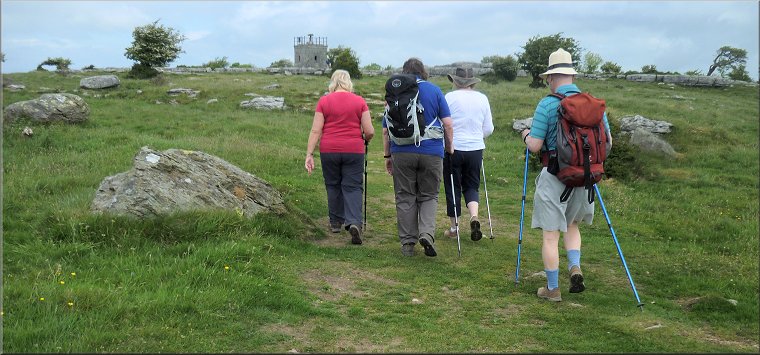
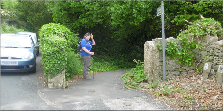
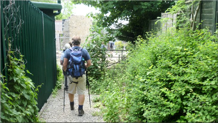
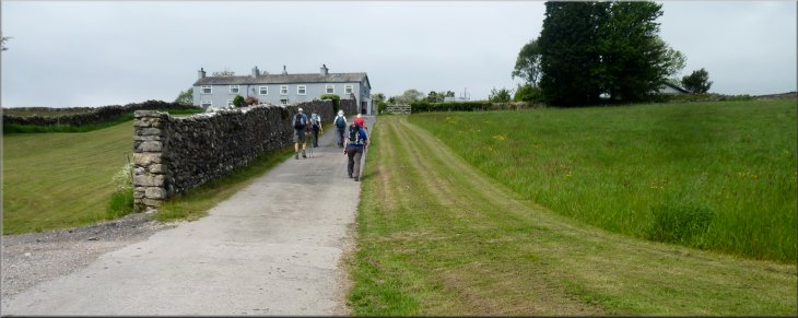
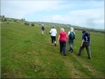
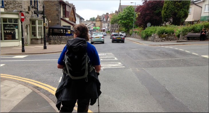
This week we are staying with some friends in a holiday cottage in Grange-over-Sands on the edge of Morecambe Bay south of the Lake District. So far the weather has been perfect, fine, dry, brilliant blue skies and warm sunshine with a gentle breeze. This morning we all walked from our holiday cottage to the crossroads where Grange Fell Road and Kents Bank Road meet at map ref. SD 406 778 to start our walk for today.
Arriving at the junction of Grange Fell Road and Kents Bank Road for the start of our walk
|
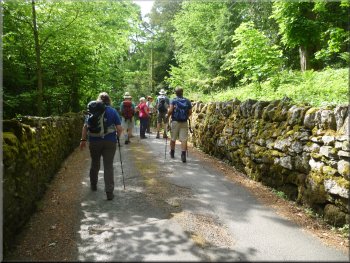
Leaving the crossroads along Pig Lane
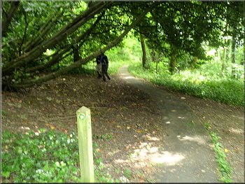
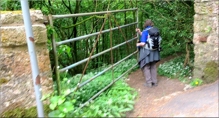
We passed the end of Charney Well Lane on the left and about 80m beyond Charney Well Lane we came to the entrance to some woodland on the right hand side of the road. |
At this crossroads we took the road heading north east called Pig Lane. At the end of Pig Lane we turned left in to Hampsfell Road and we continued along Hampsfell Road round a long right hand bend.
Turning left from Pig Lane into Hampsfell Road
|
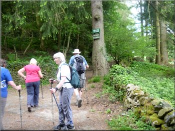
Turning right off Hampsfell Road to follow the woodland path
|
After a few metres we turned left to follow the higher path
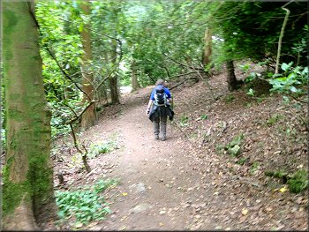
Woodland path below Hampsfell Road
At the road we turned left and walked along the road for about 80m to an old stone built lime kiln amongst the trees on the right hand side of the road. |
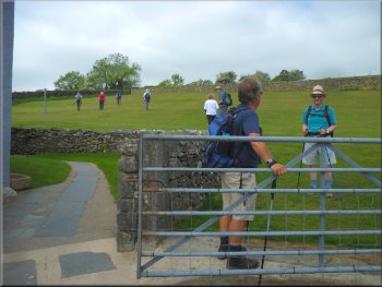
We followed the path through the wood as it looped away from the road and then back up to the road at map ref. SD 408 783. The path came up a slope and through a tubular steel gate on to the road.
Woodland path below Hampsfell Road
We rejoined Hampsfell Road and turned left to a lime kiln
|
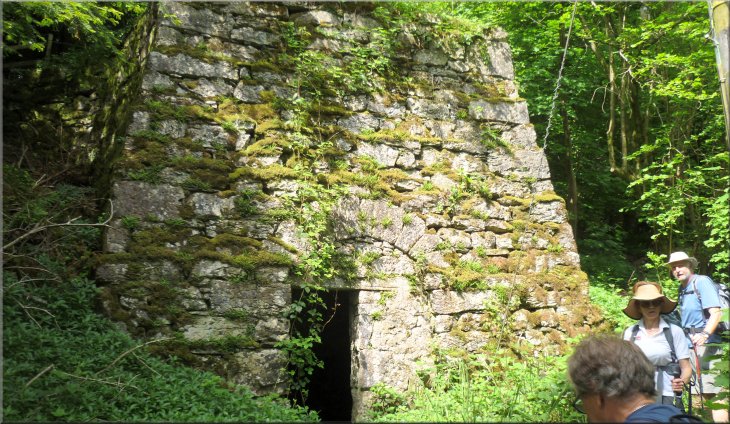
The old stone built lime kiln on Hampsfell Road
|
Taking the path up to the right of the old kiln
The path continued up with a wall to the right
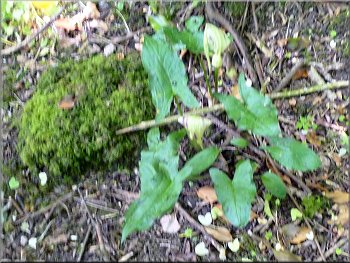
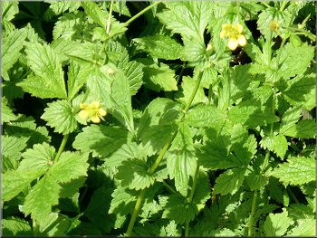
"Lords & Ladies" starting to grow some flowers
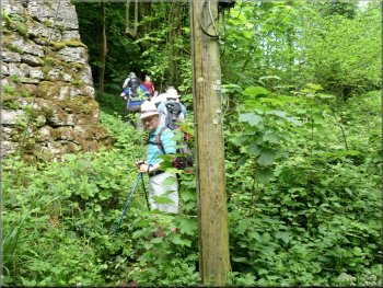
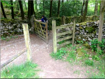
After about 800m from the old lime kiln the path turned left to head southwards and after another 200m we came out of the wood through a property, where there was some building work in progress, on to a street called Eden Mount. (the wooded hill to the east of this street is also called Eden Mount) |
At this lime kiln we turned right off the road to follow a footpath up the right hand side of the kiln into the wood. After about 50m along this path we came to a tree with two signs on it, "Hillside Cottage" & "Private No Parking". We continued past this tree following the path beside a stone wall on our right with an occasional view out of the wood across meadow land to High Farm.
Path continuing up past the tree with two signs attached
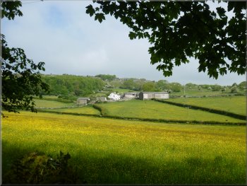
View across the meadows to High Farm
Heading towards the edge of the wood at Eden Mount
|
Leaving the wood through some building work to the street called Eden Mount
|
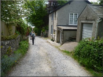
Walking down Eden Mount
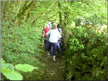
Just before the end of the track & the start of the street we turned right along a footpath leading us up the wooded hillside towards Hampsfell - there's a finger post at the turn. |
After about 120m along Eden Mount, at map ref. SD 402 781, we turned right along a gravel track. After about 150m this track brought us to the start of another street called Ashmount Road.
Turning right off Eden Mount
Sign pointing to Hampsfell to our right
|
Following the path up towards Hampsfell
|
Heading down to the farm near Spring Bank
We continued along the path down the slope to the farm and round the right hand side of the farm. Looking back from the farm there was another stone built lime kiln set in the hillside where it would have been easy to load the raw materials into the top of the kiln and remove the lime from the base. |
We followed the path up the hillside for about 130m to the fields at the top of the wood. Here we turned left and after just a few metres turned right to follow the path along the edge of the field next to a hedge. We climbed up the field and at the top of the rise we looked down to a farm and some cottages beyond
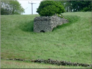
Lime kiln on the hillside above the farm
|
Heading up the access road to the cottages at Spring Bank
|
Start of the field path behind the cottages
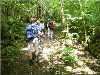
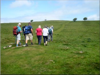
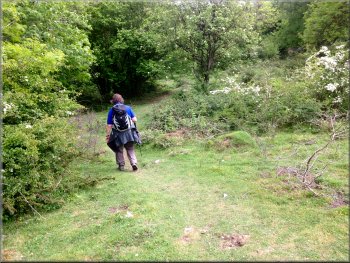
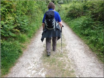
Following the track across Hampsfell
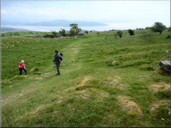
From the end of the wall the track continued across the field for another 130m to a gate in a wall. This wall is the boundary of the open access land on Hampsfell. We continued along the grassy track climbing up to the ridge of the fell. Near the ridge we sat on the grass for a few moments for a drink and to admire the view across an arm of Morecambe Bay to Arnside. |
We followed the farm access road away from the farm up the hillside to some cottages. Behind the cottages there was a footpath through a tubular steel gate into a field and diagonally across the field to the top left hand corner. Here the path crossed an access road and continued along a track climbing gently up to the end of the wall to our right.
Continuing along the path from Spring Bank Road
Following the track across Hampsfell
|
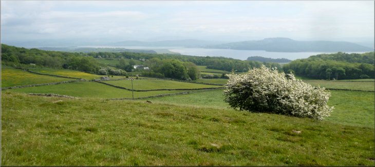
We stopped for a drink with this lovely view to admire
|
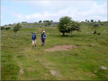
Heading for Hampsfell Hospice
Nearing Hampsfell Hospice & viewing platform
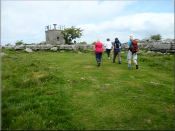
The Greek inscription over the door means "Rosy fingered Eos" where Eos is the name of the Greek goddess of the dawn. It's a quotation from the writings of the Greek poet Homer. We stood on the roof of the hospice for a while admiring the view out over Morecambe Bay and inland to the Lake District hills. |
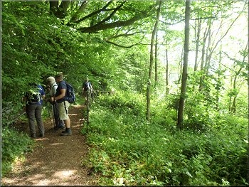
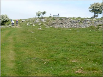
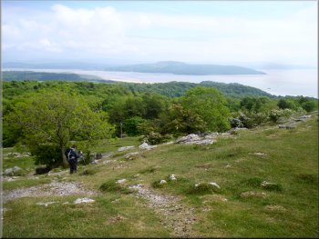
Then we resumed our gentle climb to the ridge and made our way for a few hundred metres between the limestone outcrops to the Hospice tower on Hampsfell. The Hospice was built in the 1800's as a shelter for travellers and has a view finder on the roof of the little tower.
Heading through the limestone to Hampsfell Hospice
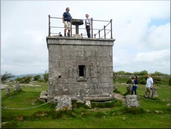
Taking in the 360⁰ view from the Hospice platform
|
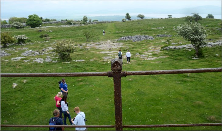
Looking south from the viewing platform at Hampsfell Hospice
|
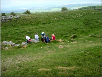
Our lunch spot near Hampsfell Hospice
After our lunch the rest of the group were planning to head northwards from the Hospice before circling back to Grange. However I could still feel the effects in my wonky knees of our walk over Arnside Knott yesterday so my wife and I took a shorter route. |
Then we walked about 150m east of the Hospice tower and sat on the grass for our lunch with a fine view across the bay to Arnside. It was a lovely place.
Setting off after our lunch break
|
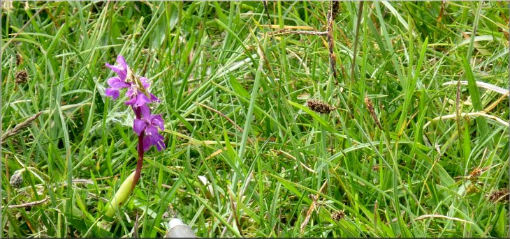
Wild orchid in the grass as we headed for Eggerslack Wood
|
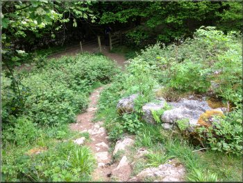
Path down through the limestone outcrops to Eggerslack Wood
Final drop down to the path around Eggerslack Wood
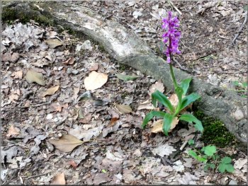
Wild orchid by the path
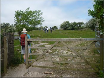
From the gate at map ref. SD 405 791, we walked along the track around the edge of the wood for abut 400m to the road near High Farm at map ref. SD 405 787. |
We followed a footpath heading south east from our lunch spot past a wall corner at map ref. SD 401 793, and down through the limestone outcrops to a track around the edge of Eggerslack Wood.
Path down through the limestone outcrops to Eggerslack Wood
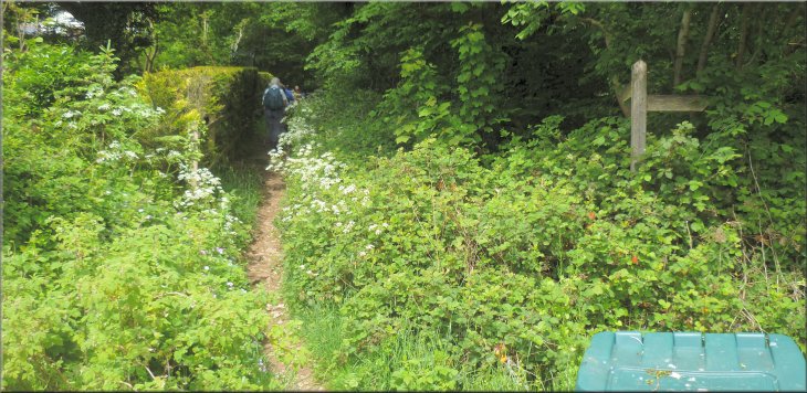
Gate to the path around Eggerslack Wood
Path around the edge of Eggerslack Wood
|
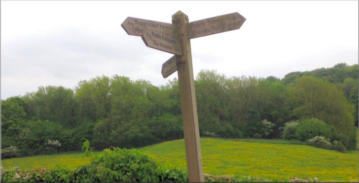
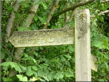
Sign post where the path from Eggerslack Wood joins the access road from High Farm
|
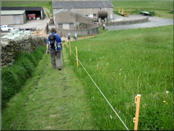
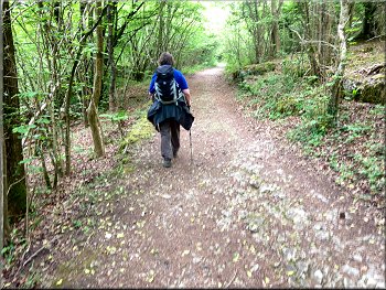
Track from High Farm down towards Grange
Out lying buildings on Hampsfell Road near Grange
Just beyond the hotel on the left hand side of the road is the tubular steel gate into the wood that we had come through on our way out this morning. |
Here we turned left and followed the road, called Hampsfell Road, down the hillside for about 450m to a bend in the road next to the Hampsfell House Hotel at map ref. SD 408 783.
Track from High Farm down towards Grange
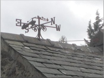
Weather vane by the side of Hampsfell Road
|
Turning left off Hampsfell Road to the woodland path down towards Grange
|
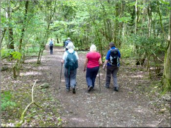
Returning along the woodland path to rejoin Hampsfell Road
The whole route had been about 6km and including our lunch stop and various pauses for photos & to admire the views. It had taken me almost three hours to walk it. Another lovely walk through the amazing scenery of Morecambe Bay and the limestone hills here. |
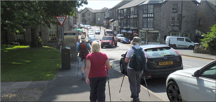
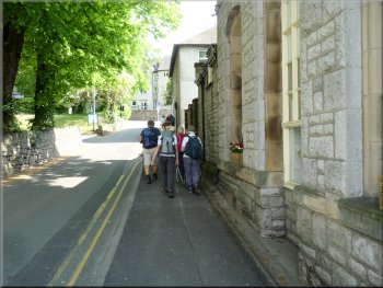
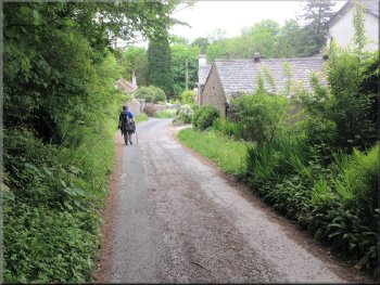
We turned left here off the road and retraced our steps through the wood and rejoined Hampsfell Road lower down the hill in Grange. We walked along the roads in Grange back to our starting point at the junction of Grange Fell Road and Kents Bank Road at the end of our walk.
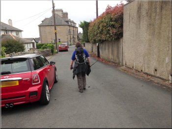
Walking along Hampsfell Road into Grange at the end of our walk
|
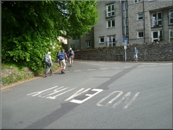
The crossroads at the junction of Grange Fell Road and Kents Bank Road at the end of our walk
|