|
2001 walks |
2002
walks |
2003 walks |
2004
walks |
|
2005 walks |
2006
walks |
2007 walks |
2008
walks |
|
2009 walks |
2010
walks |
2011 walks |
2012 walks |
|
2013 walks |
2014 walks |
2015 walks |
2016 walks |
|
2017 walks |
2018 walks |
2019 walks |
2020 walks |
|
2021 walks |
1993-2000 library |
Find a Route Index |
|
A few Routes to print out |
Request a Route... |
Route No. 683 - Thursday 17 August 2017
West Burton, Cauldron Falls, Morpeth Scar,
Templars Chapel, Morpeth Gate circuit - 8km
Wensleydale . . .
Route map from Ordnance Survey
Open Space service.
Map: OS Explorer OL30 Yorkshire Dales Northern & Central Areas
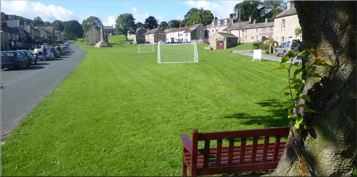
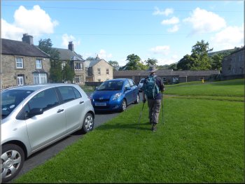
The village green in West Burton where we parked along with many other visitors
|
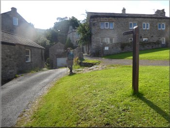
Setting off to a left hand bend in the road into the village
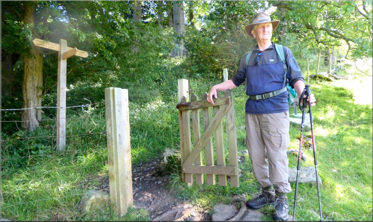
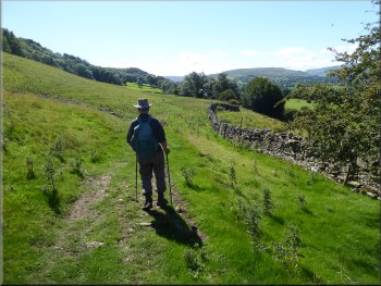
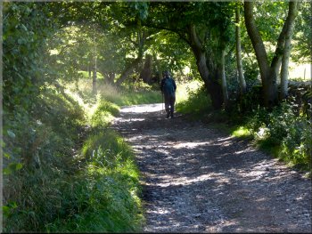
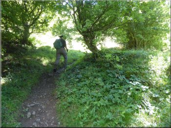
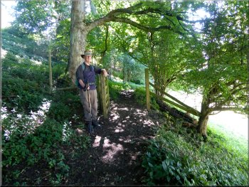
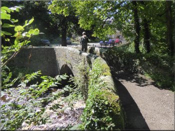
It's a popular place to start a walk and there were as good many cars parked there already when we arrived. From our parking spot we walked back along the road to a sharp left hand bend at map ref. SE 018 867. Here we turned right off the road at the bend on to an access track between the houses. We followed this track for about 50m to a stone arch pedestrian bridge over Walden Beck. |
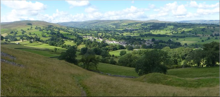
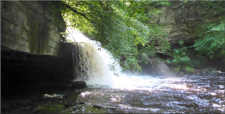
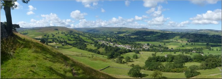
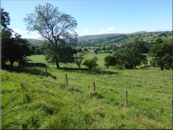
Last night there was heavy rain but it is all forecast to clear away this morning giving way to a fine sunny day with clear blue skies. My friend, Jim, and I drove out to West Burton just off Wensleydale at the junction of two side valleys, Waldendale and Bishopdale. We parked on the roadside at the village green.
Access track between the house to the waterfall
|
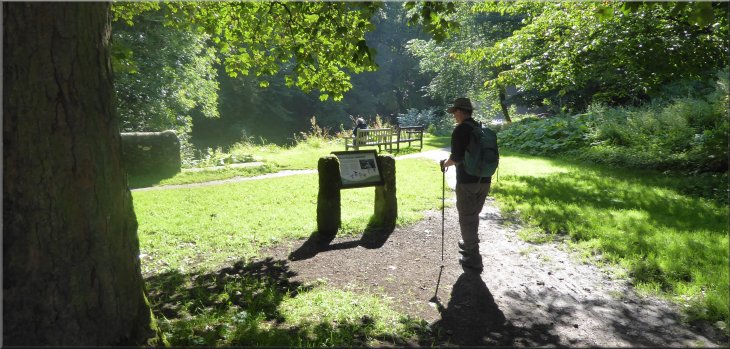
Information board about the waterfall next to the footbridge over Walden Beck
|
|
|
We did not cross the footbridge over the beck but instead we walked along a path beside the beck towards the waterfall called Cauldron falls. After another 50m or so we had a good view of the waterfall. The overnight rain had filled the beck and the falls were thundering down into the deep pool like a cauldron being vigorously stirred, hence the name (see the information board next to the footbridge).
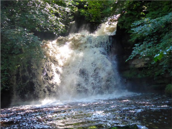
Cauldron Falls on Walden Beck - s fine sight after last night's heavy rain
|
Cauldron Falls on Walden Beck
|
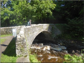
Footbridge over Walden Beck
|
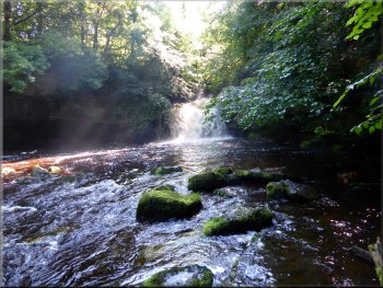
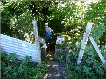
After a lingering look at the falls we returned to the footbridge and crossed the beck. There was a footpath along the opposite bank of the beck which we followed to its end at the falls. From this side of the beck we were looking up from under the rock shelf that the water was pouring over. Then we walked back along the bank of the beck to rejoin the path from the footbridge.
Cauldron Falls seen from the north side of Walden Beck
|
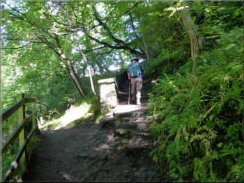
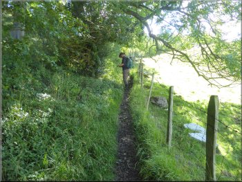
Path up through the tress from Walden Beck
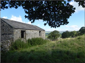
Old stone barn as we came out of the trees to the field path
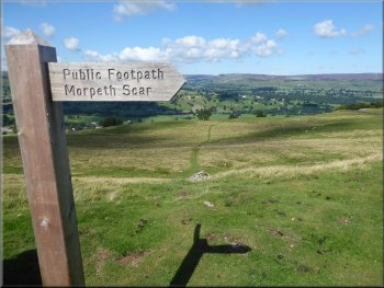
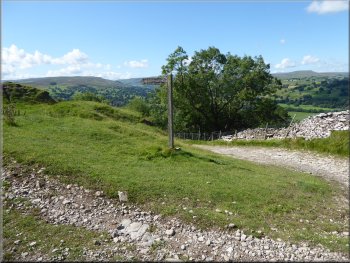
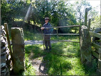
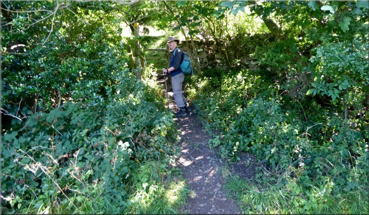
At the edge of the wood there was a finger post with three arms. One arm informed us that we had come from West Burton, the left arm indicated the path to Morpeth Gate (an ancient track way & the word 'gate' in this context comes from the old Viking word for street or road) and the right arm pointed to Morpeth Scar. |
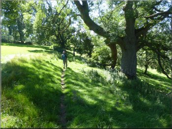
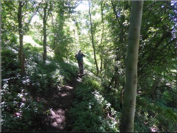
We followed the path up some steps through a belt of trees, that lined the beck, to the fields and continued along the footpath across the fields past an old stone barn. We climbed up across a large open field to some woodland at map ref. SE 022 868. We passed through a pedestrian gate into the woodland.
Looking out to Wensleydale from the path by the old barn
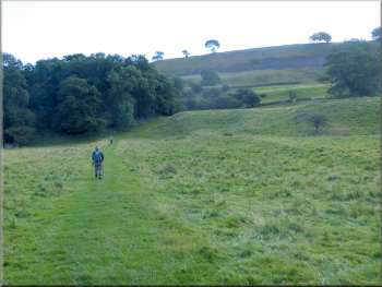
Path across the field to some woodland
|
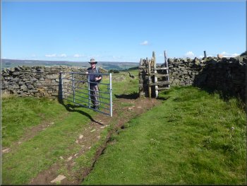
Gate & finger post as we entered the woodland
|
Path climbing up the edge of the woodland
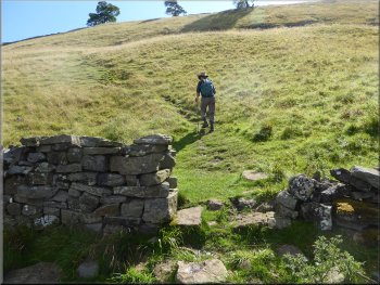
Start of the zig-zag path up the hillside
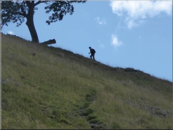
Jim almost at the top of the zig-zag path
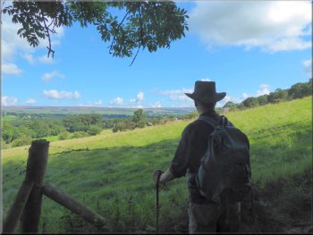
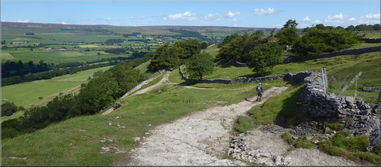
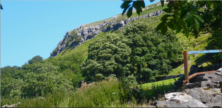
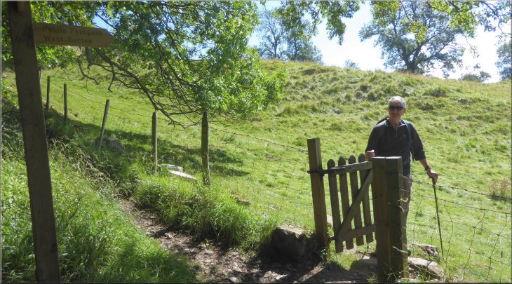
We followed the steep zig-zag path to a wall at the top of the steep bank. At the wall we sat for a breather with an amazing view in front of us, as we looked back from the top of the zig-zag path over West Burton at the junction of Waldendale & Bishopdale. We had to leave this lovely spot and continued through the gated squeeze stile in the wall. |
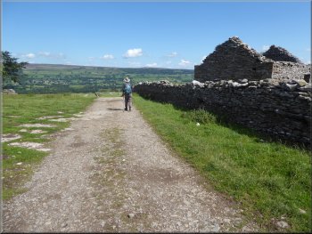
Today our route was to Morpeth Scar, straight up the hillside. It's a total climb of about 150m straight up from West Burton. We followed the path around the edge of the wood and across the fields to the edge of open access land at map ref. SE 023 867. From the start of the open access land there was a steep bank about 150m wide but climbing over 50m.
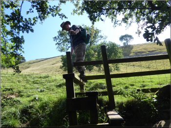
Stile to the fields at the top of the woodland
Climbing the zig-zag path up the hillside
Gated squeeze stile at the top of the zig-zag path
|
Looking back from the top of the zig-zag path over West Burton at the junction of Waldendale & Bishopdale
|
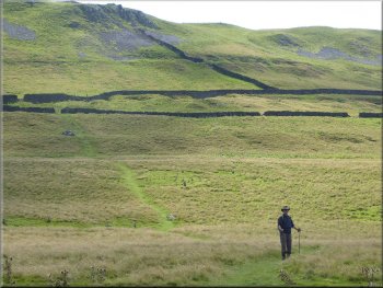
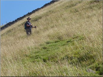
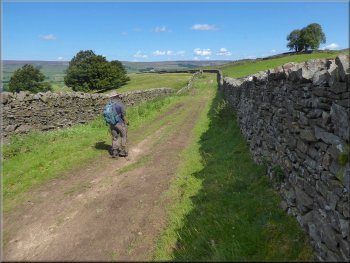
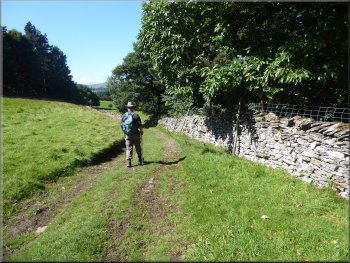
Path across the moor to an access track at map ref. SE 026 865
Following the access track towards Morpeth Scar
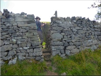
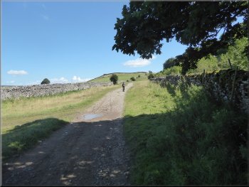
At this track we turned left and walked along this walled access track for about 1.5km past Morpeth Scar to the track called Morpeth Gate. |
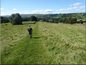
Through the stile we followed the path across the rough moorland pasture for about 250m to an access track at map ref. SE 026 865.
Looking back across the moor from the access track
Following the access track towards Morpeth Scar
|
Track at Morpeth Scar dropping down to join the track called Morpeth Gate coming up from West Burton
|
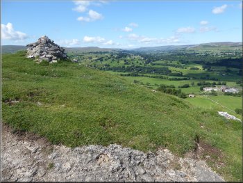
Cairn by the track at Morpeth Scar
Following Morpeth Gate around the lower slopes of Pen Hill
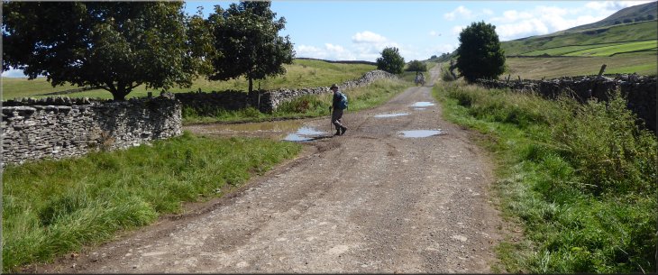
Here we turned left off Morpeth Gate on to a farm access track. This track leads eventually to Swinithwaite, although we were not going as far as that. |
At Morpeth Gate we turned right and continued along this walled track between the fields around the lower slopes of Pen Hill for about 1km to map ref. SE 038 881.
Junction of Morpeth Gate with our track from Morpeth Scar
Following Morpeth Gate around the lower slopes of Pen Hill
|
Turning left off Morpeth Gate on to the track leading to Swinithwaite
|
Following the track towards Swinithwaite
Path from the hairpin bend down to the Templars Chapel
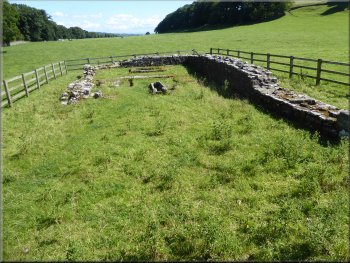
Remains of the 'Preceptory' of Templars Chapel
There are just the base of the walls left with one adult stone coffin and two children's stone coffins each with its stone slab lid over grown beside the coffin in the grass. The rectangular base for the Altar in also visible above the stone step across the chapel separating the Sanctuary from the Nave. |
We walked along this track down a couple of steep sections where the track had been concreted. After about 600m (from the Morpeth Gate track) there was a hairpin bend in our track at the bottom of a steep concrete section of the track. On the crown of the hairpin bend we turned left off the track to follow a public footpath that led us down across the fields to the site of the Knights Templars' chapel or 'Preceptory'.
Nearing the hairpin bend in a steep concrete section of track
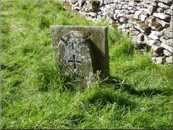
Victorian replica of a Templars boundary marker
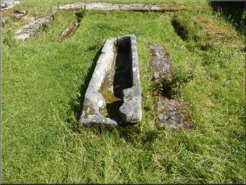
Stone coffin with its lid in the grass next to it
|
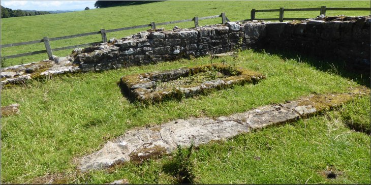
Base of the Altar & stone sill between the Sanctuary and the Nave
|
The path southwest from the Preceptory
Footpath towards Morpeth Gate from the Preceptory
Looking up Waldendale from the footpath
Here we joined the Morpeth Gate track again, this time at map ref. SE 026 875. As we passed through the gate on to Morpeth Gate track, looking back there was the craggy shape of Morpeth Scar above the fields and the woods. |
From the Templars Chapel we turned southwest following a public footpath along the edge of the fields next to a steep wooded bank. We continued along this path for a little over 2km.
Footpath towards Morpeth Gate from the Preceptory
Footpath towards Morpeth Gate from the Preceptory
Gate from the footpath on to Morpeth Gate
|
Looking up to Morpeth Scar from the junction of the footpath & Morpeth Gate
|
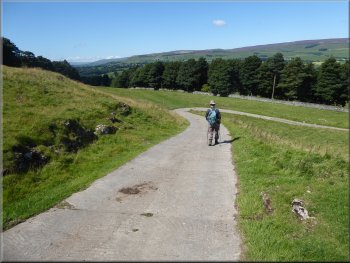
Following Morpeth Gate down the hillside
At the top of the bank there is a pedestrian gate into the woodland. We turned left here to go up the bank and through the gate into the woodland. |
At the Morpeth Gate track we turned right and walked down the track for about 500m. Here, at the bottom edge of a strip of woodland there is a narrow path up a steep bank on the left hand side of the track.
Following Morpeth Gate down the hillside
|
Footpath off to the left up the bank at the side of Morpeth Gate
|
Path along the edge of the wood next to the cow pasture
Waldendale seen from the path at the edge of the wood
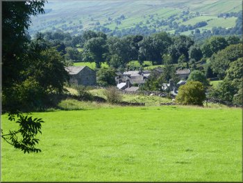
West Burton seen from the path at the edge of the wood
We followed the woodland path for about 350m until we came to the finger post we had passed on the outward leg of our walk at map ref. SE 022 868. This time we turned right towards West Burton. |
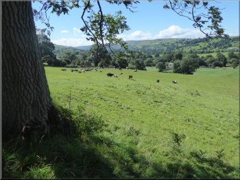
We continued following the footpath along the bottom edge of the woodland next to a large field that was full of dairy cattle grazing in the warm sunshine. There was no fence between the wood and the pasture and the cattle had access to the woodland.
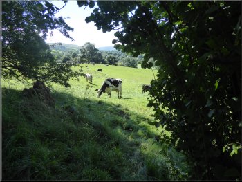
Dairy cattle grazing by the edge of the wood
Following the path along the edge of the wood
Nearing the end of the woodland path
|
Re-joining our outward route at the edge of the wood
|
Path across the field to the old stone barn
The footbridge over Walden Beck
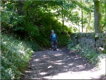
Then back along the access track between the houses out to the village green and our parking spot at the end of our walk. The whole route had been about 8km and it had taken us around three hours to walk in the warm sunshine. |
From the wood we retraced our outward route across the fields to the old stone barn and down through the woodland to the bridge over Walden Beck near the waterfall.
Path down through the trees to Walden Beck
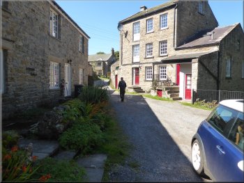
Track between the houses back to the village green
|
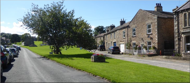
Back in West Burton with visitors' cars, including ours, still lining the village green
|