|
2001 walks |
2002
walks |
2003 walks |
2004
walks |
|
2005 walks |
2006
walks |
2007 walks |
2008
walks |
|
2009 walks |
2010
walks |
2011 walks |
2012 walks |
|
2013 walks |
2014 walks |
2015 walks |
2016 walks |
|
2017 walks |
2018 walks |
2019 walks |
2020 walks |
|
2021 walks |
1993-2000 library |
Find a Route Index |
|
A few Routes to print out |
Request a Route... |
Route No. 684 - Thursday 24 August 2017
Hawes, Appersett, Hardraw,
Hardraw Force, Pennine Way circuit - 8km
Wensleydale . . .
Route map from Ordnance Survey
Open Space service.
Map: OS Explorer OL30 Yorkshire Dales Northern & Central Areas
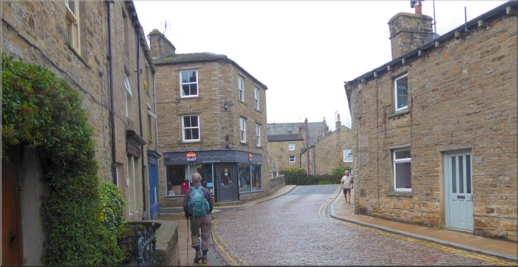
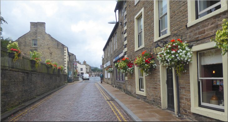
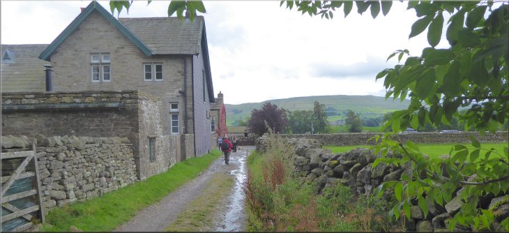
Setting off through Hawes along a cobbled street called 'The Hill'
|
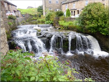
Waterfall on Gayle Beck seen from the cobbled street
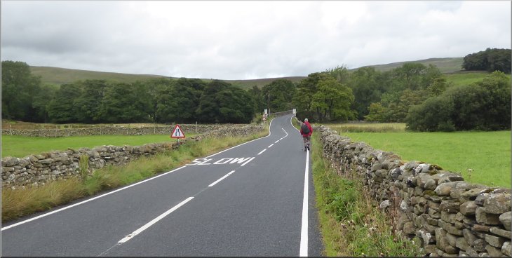
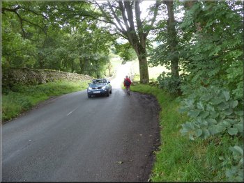
We walked across the road bridge over Gayle Beck where there is a pretty waterfall that can be seen from the road. We followed the A684 through the town where the road is called Turfy Hill and is two-way again. |
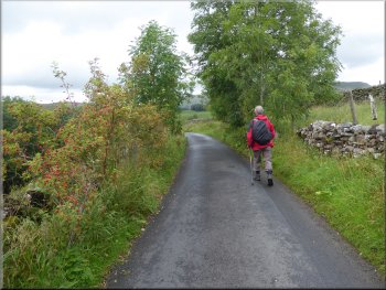
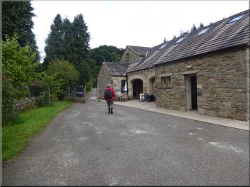
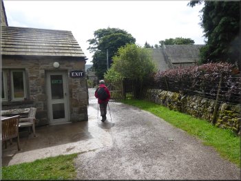
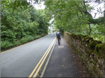
This morning my friend, Jim, & I drove up Wensleydale to Hawes and parked on the road side on the A684, Burtersett Road, at map ref. SD 876 897, as it enters Hawes from the east. From our parking spot we continued along the A684, now called The Hill where the one-way road is cobbled.
Walking along 'The Hill' through Hawes
|
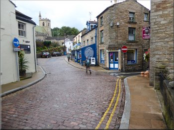
Approaching the road called 'Turfy Hill' on our way through Hawes
|
Looking north from the A684 as we left Hawes
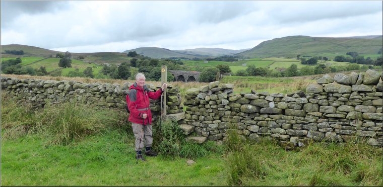
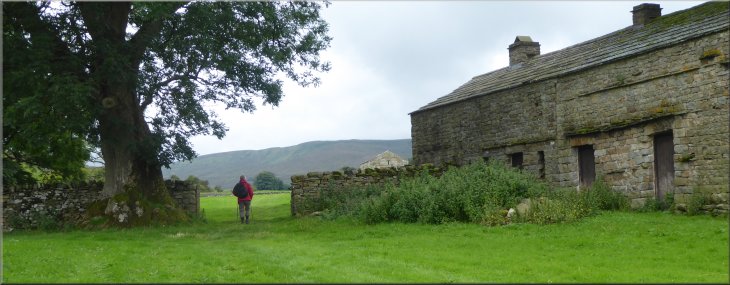
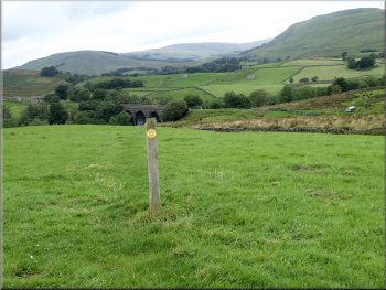
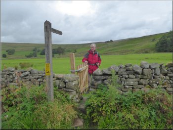
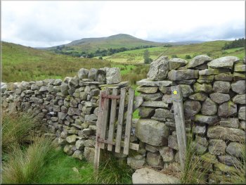
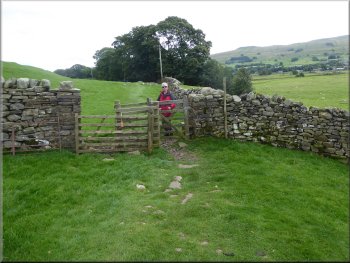
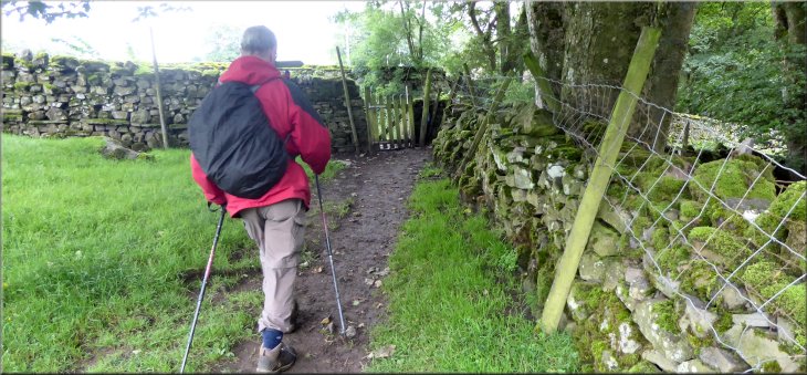
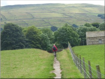
Nearing the gate to the field path at map ref SD 864 899
On the bend a farm access track goes off to the left with a marker post by the gate. After about 200m there were some farm buildings on our left and an old stone barn in the field on our right. Ahead the path continued through a tubular steel farm gate and along the edge of the field. |
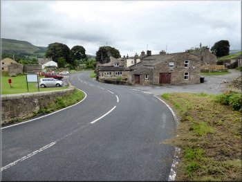
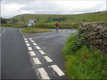
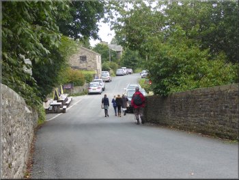
We continued past the public toilets on the road side here and up to the junction with the B6255 which goes off to the left. We stayed on the A684 as it bent to the right and headed down hill for about 250m to a right hand bend in the road.
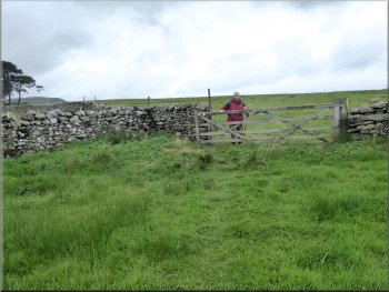
Turning left off the A684 at map ref. SD 866 900
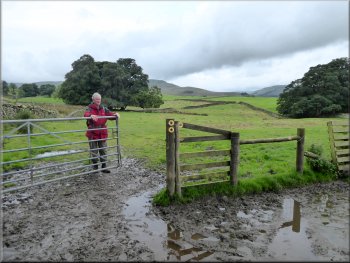
Muddy gateway to the field path, heavy rain last night
|
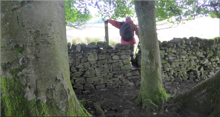
Stile to the next field almost hidden amongst the trees in the field corner at map ref. SD 862 899
|
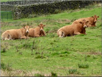
Limousin cattle ignored us as we passed by
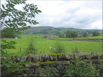
There was a small herd of limousin cattle laying in the grass but they took no notice of us. We followed this path across another field and into a field with a large stone barn at the far side. |
There were some trees in the corner of the field ahead of us and the stile through the wall was almost hidden behind the trees. We crossed the stile and continued along the edge of the next field.
Gated stile with a large stone barn at the far side of the field
|
Large stone barn at map ref. SD 860 899 where we turned right across the field
|
We crossed the field from the stone barn to this gate
Stone step stile at map ref. SD 857 902
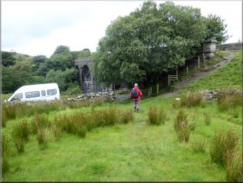
Stile to the lane at the viaduct
When we reached the lane there was a small lay-by with a white van from a the local Low Mill outdoor centre parked there. On the viaduct there was a group of youngster from the centre all in the correct gear with hard hats. An instructor was settling himself on the viaduct parapet and lowering a rope to the field below. There were two members of the team in the field awaiting the intrepid students who were about to abseil down from the viaduct. We watched the first of them make a safe descent and then continued along the lane for about 300m to the hamlet of Appersett at the A684. |
At the barn we turned right and followed a path diagonally across the field to the far left hand corner. At the field corner there was a wooden field gate which we passed through and continued across a large field where a short marker post in the middle of the field indicated the route. At the far side of the field we came to a stone step stile in the wall which we climbed over. From here we could see the stone viaduct over Widdale Beck on the disused railway below. The path crossed the field heading down to the lane where it passed under the viaduct at map ref. SD 856 903.
Marker post on the path heading down to the viaduct
Nearing the lane at the old railway viaduct
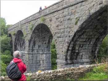
Outdoor centre team preparing to abseil from the viaduct
|
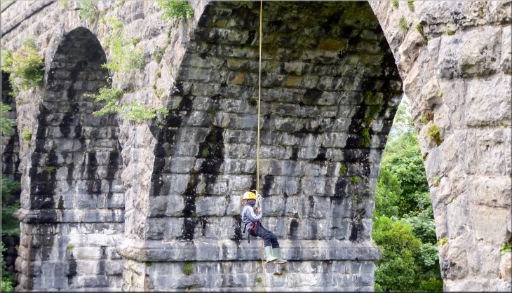
We watched the first student make a safe descent from the viaduct
|
Heading for Appersett along the lane from the viaduct
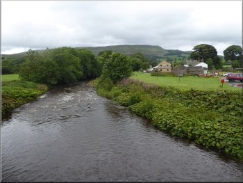
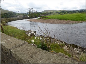
Widdale Beck seen from the A684 bridge at Appersett
We should have turned off the road here and the footpath runs next to the road in the field almost to the River Ure where there is a pedestrian gate back onto the road. But we followed the road stepping off into the road side foliage to allow the traffic to pass instead of being safely on the field path! |
At the main road (A684) we turned left and crossed the road bridge over Widdale Beck. Just over the bridge there was an old farm lime kiln in the field beside the road. Just beyond the farm there was a pedestrian gate into the field which I failed to notice.
Looking back to Appersett along the A684
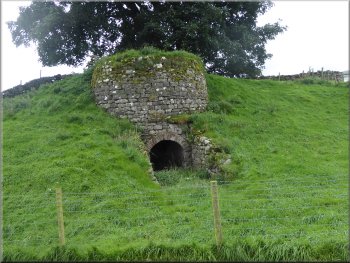
Old farm lime kiln by the A684 at map ref. SD 857 906
|
Following the A684 to the bridge over the River Ure (We should have been on the footpath in the field on the left)
|
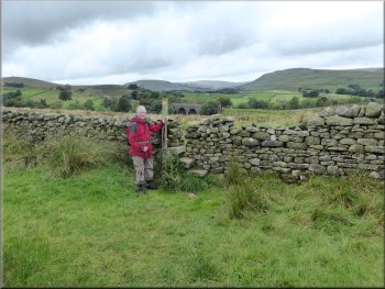
Road junction at map ref. SD 857 910
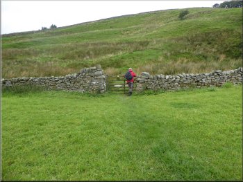
Gate at map ref. SD 858 911
Swaledale tupp briefly blocked our path
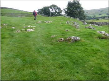
Here we turned left and climbed diagonally up the hillside to a wooden gate in a stone wall. Through the gate the path followed the contour round the hillside for about 300m and then dropped down across a little valley. After another 100m part way up the hillside climbing out of the little valley we came to a wooden finger post indicating a footpath off to our right.
|
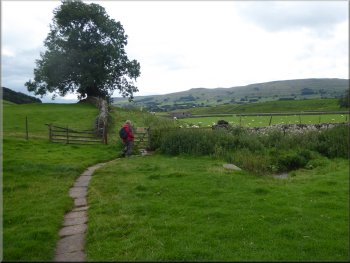
We crossed River Ure on the road bridge and followed the road around a left hand bend. About 100m from the bridge there is a road junction on the right and at the junction we turned right off the road onto a path across the field. At the far side of the field we passed through a wooden gate into some rough moorland.
Turning off the road to the field path at the junction
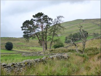
I just like this group of trees
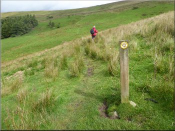
Marker post on the path contouring round the hill side
|
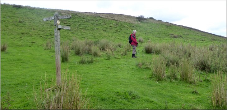
Finger post at map ref. SD 856 916 where we turned right on to the path to Hardraw
|
Looking west from the stile at map ref. SD 859 915
Stile on the field path to Hardraw
Field path nearing Hardraw
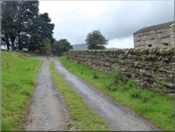
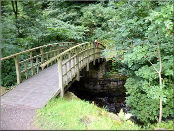
We turned right at the walled track and walked along the Pennine Way route for about 150m to the road in the village of Hardraw. |
We turned right at the finger post and followed this footpath across the fields and stiles for about 800m to a walled track at map ref. SD 865 913. This walled track is the route of the Pennine Way.
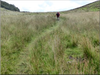
Path across the moor towards Hardraw
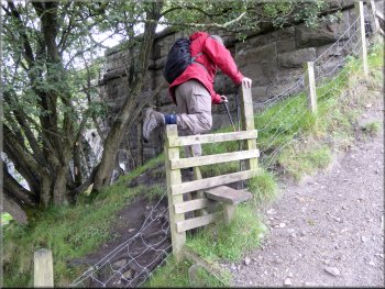
Stile on the field path to Hardraw
Gate from the field path to the Pennine Way walled track
|
Following the Pennine Way track to the road in Hardraw
|
Green Dragon pub left from the road bridge over Hardraw Beck
Path past the closed visitor centre to the waterfall
Path through the parkland to the waterfall
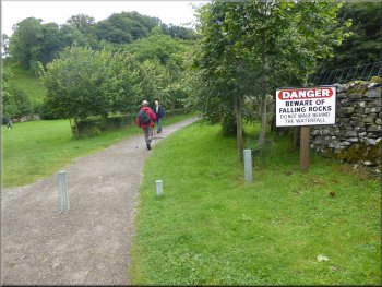
From the pub we followed the path out past a visitor centre building that did not seem to be in use. We followed the path through parkland next to Hardraw Beck for about 400m to the waterfall. |
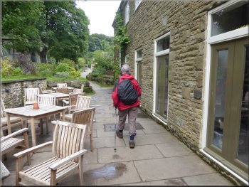
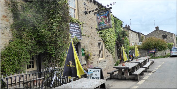
At the road we turned left and followed the road past the village hall and over Hardraw Beck to The Green Dragon pub on the left hand side of the road. Here we went into the pub and queued at the bar to buy two tickets to visit the waterfall on Hardraw Beck called Hardraw Force.
Path from the back of the pub to the waterfall
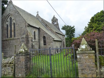
Village church next to the path
Path by Hardraw Beck to the waterfall
|

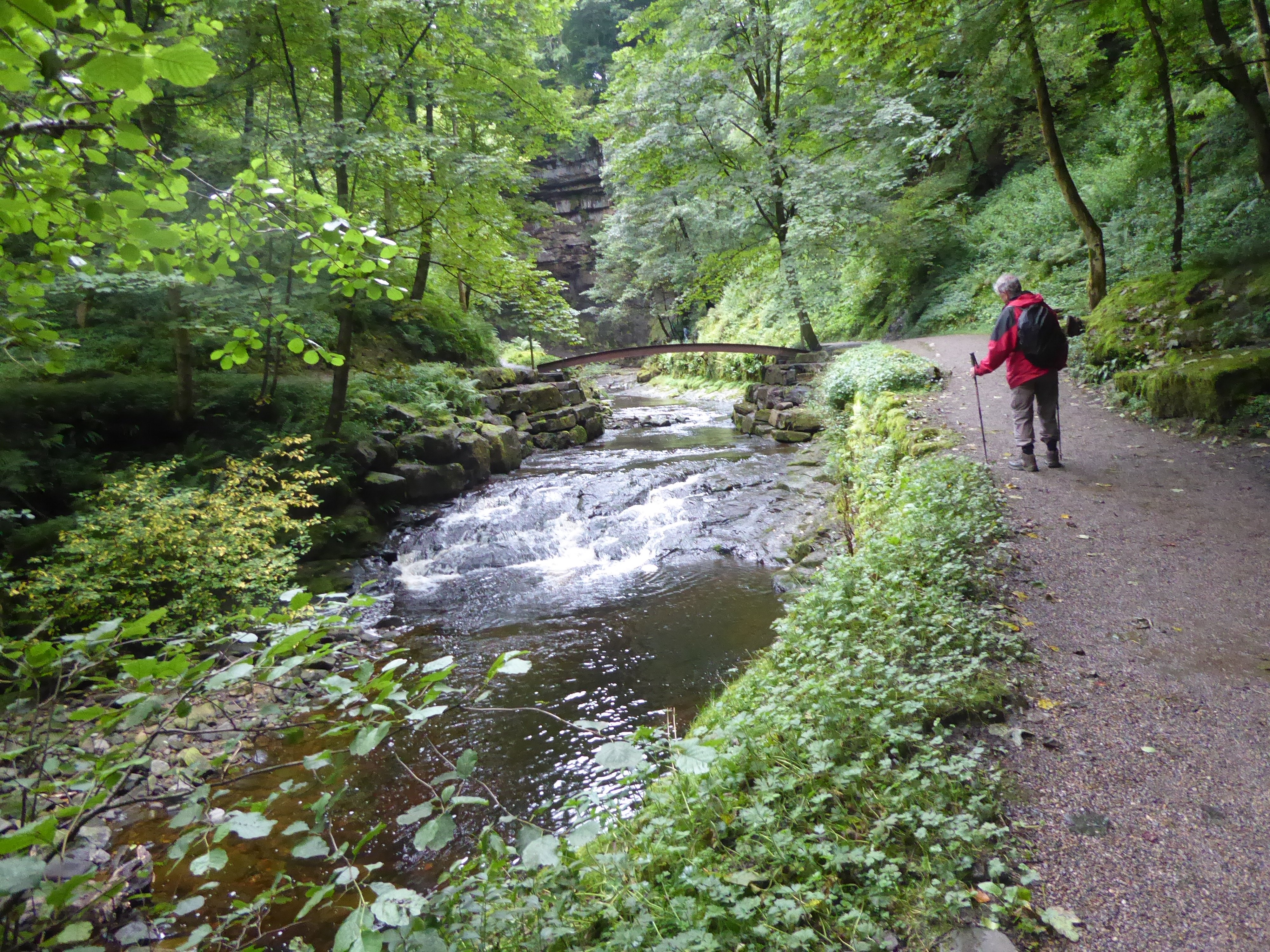
Hardraw Force with a drop of around 30m
|
Crossing the beck to return along the opposite bank
Crossing back over the beck to the pub
The beck drops over a horseshoe shaped rock shelf that is undermined so the water has a clear drop of around 30m. From the falls we made our way back through the parkland to the road in front of the pub.
|
There had been heavy rain overnight and there was a reasonable flow of water over the falls but the beck here is quite small and can almost dry up at times.
Returning to the pub along the beck
Returning to the Green Dragon pub
|
From the Green Dragon pub we crossed the road to rejoin the Pennine Way
|
The Pennine Way track opposite the Green Dragon pub
Pennine Way path across the fields from Hardraw
Pennine Way path from Hardraw nearing Brunt Acres Road
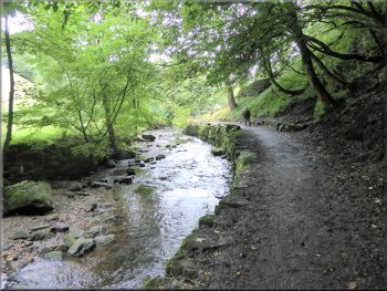
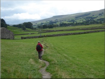
The track from the road in Hardraw took us out to a paved footpath across the fields from the village with fine views of Wensleydale. About 1km from the village we came to Brunt Acres Road. |
We crossed the road and took the track opposite along the side of the buildings. This track is the route of the Pennine Way. We followed the Pennine Way route for a little over 2km back to the A684 in Hawes.
Paved Pennine Way path leaving Hardraw
Pennine Way path across the fields from Hardraw
Looking across the fields to Hawes from map ref. SD 874 907
|
Gate from the field path on to Brunt Acres Road
|
Heading back to Hawes along Brunt Acres Road
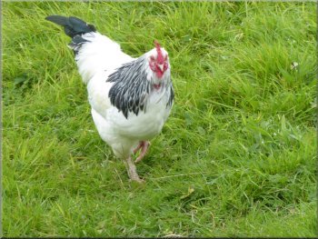
Free range Sussex hen by the road
Turning right off the road to the shortcut across the field
Paved path of the Pennine Way heading back into Hawes
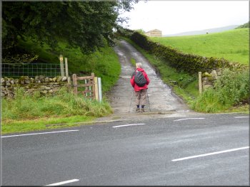
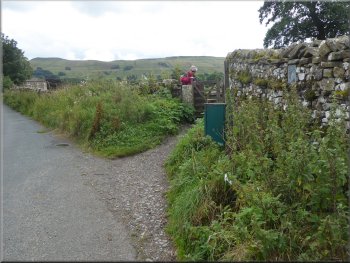
We turned right at the road and followed it back to its junction with the A684. At the main road (A684) we returned to our car at the end of our walk. The whole route had been about 8km including our visit to Hardraw Force and the whole trip had taken us about three & a half hours to walk. |
At the road we turned right and followed the road around a bend in the River Ure to the road bridge over the River Ure. About 150m from the road bridge the road bends to the left but here we kept straight on along a paved footpath across the field to rejoin the road after about 200m.
Bend in the River Ure on the way back to Hawes
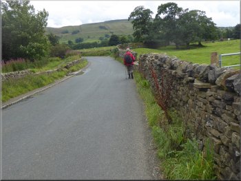
Walking along Brunt Acres Road back into Hawes
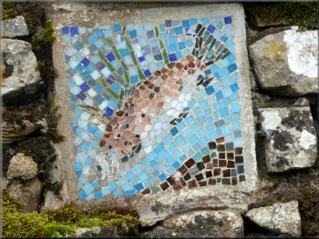
Trout mosaic in the wall at our turning off the road
Walking along the road back into Hawes
|
(I had never been to Hardraw Force before mainly because you have to pay to see it and I am a Yorkshireman, but I have paid to see the Ingleborough Waterfalls Walk and to see High Force on the River Tees so I'm completely inconsistent)
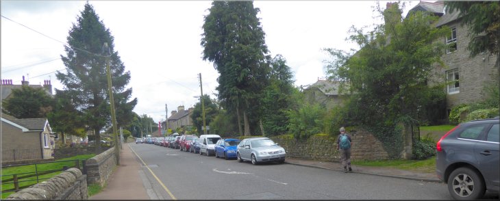
Returning to our parking spot on the A684 in Hawes at the end of our walk
|
Footnote:
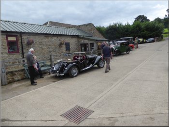
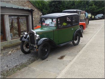
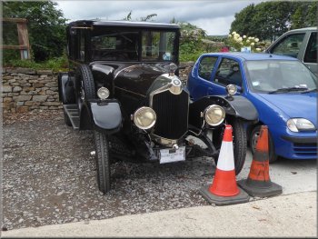
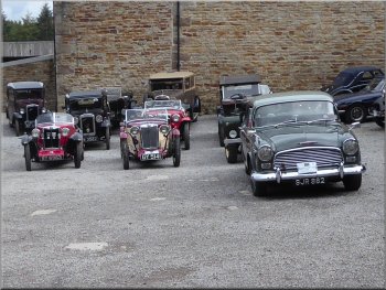
On our way home we stopped at the Berry Farm Cafe in Swinithwaite and by chance came across a large vintage car rally called "The Heather & Honey Run". The entire car park was full of amazing vintage cars and their occupants were feasting in a large marquee in the cafe courtyard so the cafe itself was no busier than usual. Jim & I had a look round the car park and I took a few photos before we continued on our way home.
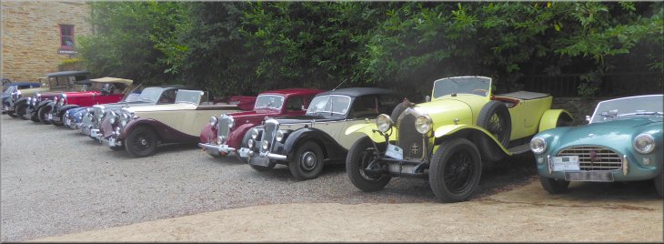
Vehicles from the "Heather & Honey Run" parked at Berry farm Cafe at the end of the event
|
|
|
|
|
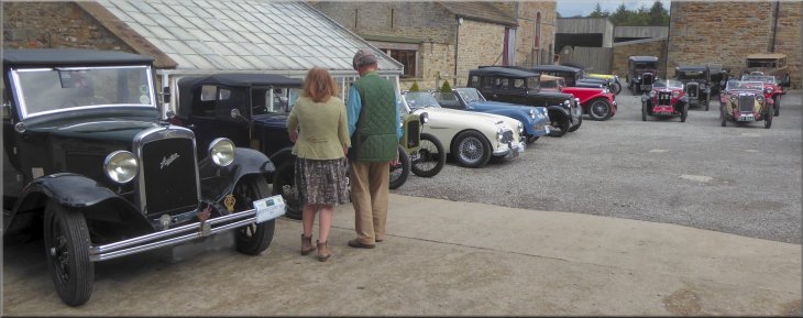
Vehicles from the "Heather & Honey Run" parked at Berry farm Cafe at the end of the event
|