|
2001 walks |
2002
walks |
2003 walks |
2004
walks |
|
2005 walks |
2006
walks |
2007 walks |
2008
walks |
|
2009 walks |
2010
walks |
2011 walks |
2012 walks |
|
2013 walks |
2014 walks |
2015 walks |
2016 walks |
|
2017 walks |
2018 walks |
2019 walks |
2020 walks |
|
2021 walks |
1993-2000 library |
Find a Route Index |
|
A few Routes to print out |
Request a Route... |
Route No. 691 - Wednesday 4 October 2017
Ferry to Belvedere: Lakeside Way, Soney Gap,
Salmon Cubes, Robin's Hut 10km circuit
Kielder Water & Forest, Northumberland . . .
Route map from Ordnance Survey
Open Space service.
Map: OS Explorer OL42 Kielder Water & Forest
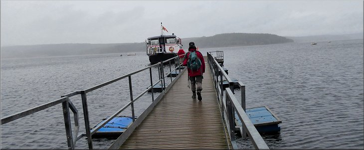
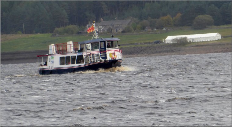
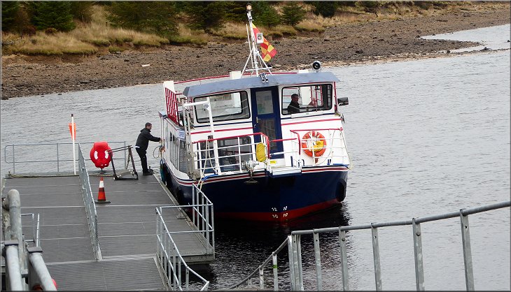
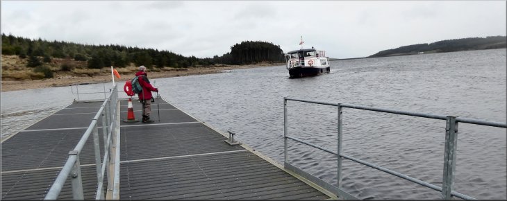
Boarding the ferry, 'Osprey' at the Leaplish jetty
|
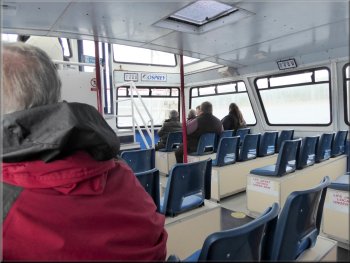
Peering through the rainy windows for a view of the lake
It was raining hard and people who boarded after us were very wet by the time they had walked from the car park and along the jetty. The ferry trip is a tour of Kielder Water and we picked up passengers at Tower Knowe. From there we passed close to the valve tower next to the dam before we reached the jetty at The Belvedere. We were very fortunate and the rain had stopped by the time we landed and did not start again until we were back at Leaplish! |
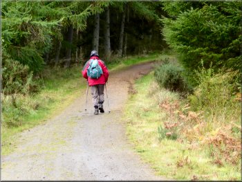
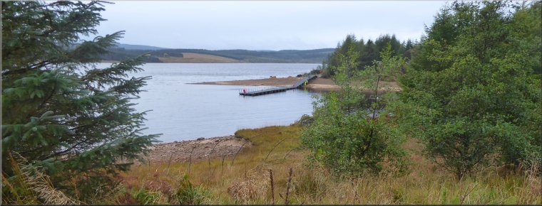
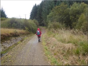
My friend, Jim, & I have our respective wives agreement to spend a few days exploring the Kielder Water & Forest Park. We are staying at a very nice pub on the edge of the park near the Kielder Water dam. This morning we drove to the Leaplish Waterside Park to get the 10.30am ferry to the Belvedere on the north shore of Kielder Water at map ref. NY 683 884.
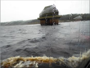
The valve tower near the Kielder reservoir dam
|
Leaving the ferry at The Belvedere jetty
|
The Belvedere as we climbed up from the jetty
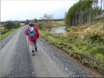
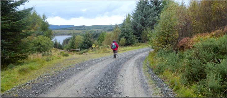
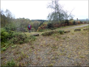
From the jetty we made our way up the grassy track to The Belvedere and continued for about 50m past The Belvedere to join the route of the Lakeside Way on a forest track at map ref. NY 683 884.
|
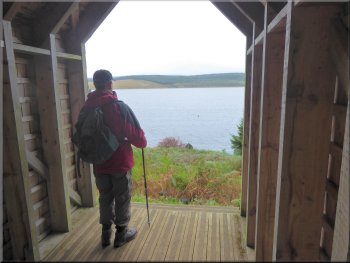
From the jetty we climbed up to The Belvedere, a seat with a view, at the edge of the forest above the lake edge. The Belvedere is a bit of an architectural folly and provides a shelter with a view of the lake.
Investigating The Belvedere
|
Leaving The Belvedere along the Lakeside Way
|
Right turn in the Lakeside Way just north of The Belvedere
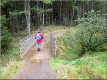
Bridge over Pot Burn at the head of the small inlet
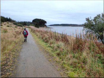
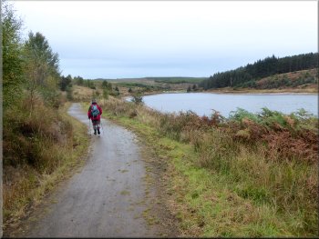
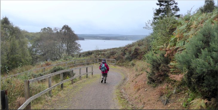
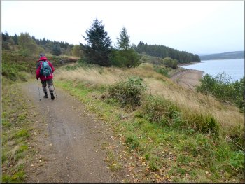
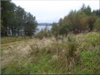
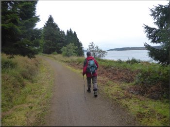
We followed the Lakeside Way track above the lake shore around the foot of Wind Hill past the headland called Cock Stoor. |
We followed the Lakeside Way up the slope for about 60m where it turned right to wind its way around a small inlet of the lake to the foot of Wind Hill.
Lakeside Way near the top of the small inlet
Lakeside Way along the east side of the small inlet
|
Looking back from the Lakeside way to the jetty at The Belvedere as we headed along the Lakeside Way towards Cock Stoor
|
Lakeside Way near Cock Stoor
Bridge over the stream running down from Soney Gap
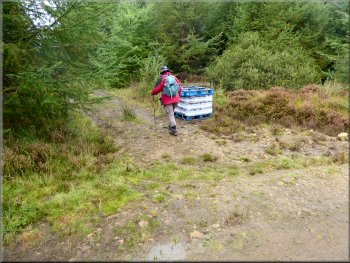
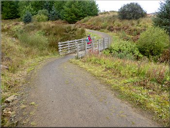
Our left turn off the Lakeside Way at map ref. NY 688 895
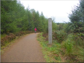
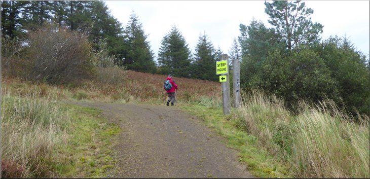
Here there was another large pack of bottled water for Saturday's marathon and we turned left off the Lakeside Way to follow a track up the hillside for about 300m to join a forest access road at map ref. NY 685 896. |
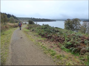
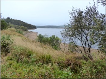
We continued along the Lakeside Way beyond Cock Stoor for about 1km along the western side of a larger inlet of the lake to map ref. NY 688 895.
Lakeside Way along the west side of the larger inlet
Nearing the head of the larger inlet
Public footpath climbing up from the Lakeside Way
|
Joining the forest access road at map ref. NY 685 896 near a pond on the right of the road
|
The forest access road above Soney Gap
Start of a long straight section of the road
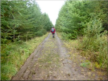
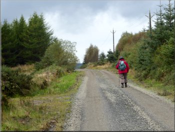
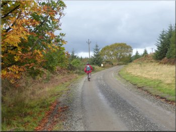
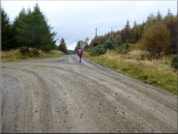
On a long straight part of the road we were passed by a large articulated lorry loaded with timber. At the western end of the long straight part of the access road there was a right hand bend at map ref. NY 676 899. |
Here we turned left and walked along the access road past a pond on our right and above a small valley called Soney Gap. The access road was taking us across the neck of a short peninsular.
The forest access road above Soney Gap
Passing a junction in the road at map ref. NY 677 898
|
Right turn in the road at the end of the long straight
|
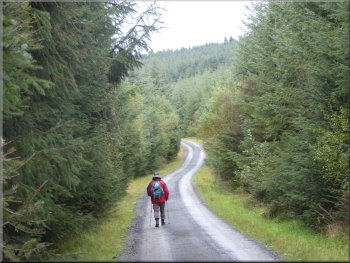
Following the access road below Hazel Crags
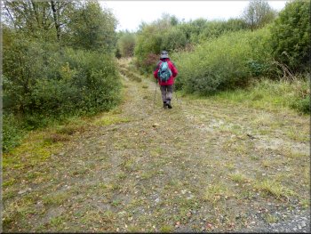
Our left turn off the forest access road
Here we turned left on to a grassy track that we followed for about 120m towards the lake shore to a 'T'-junction with another track at map ref. NY 670 904. This track is the route of the Lakeside Way and we turned left to rejoin the Lakeside Way route.
|
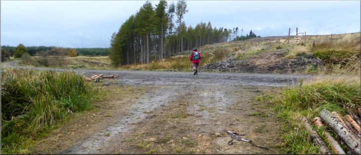
We followed the access road round the right hand bend and through an area of "forest harvesting" with stacks of logs by the roadside. This was clearly the origin of the lorry load of logs that had passed us earlier. We continued along the access road for about 800m from the right hand bend to map ref. NY 670 905.
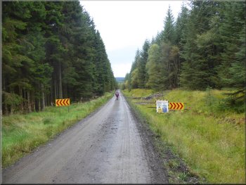
Start of the forest operation where timber is being extracted
Re-joining the Lakeside Way above the lake shore
|
Walking along the Lakeside Way towards the Tyne Salmon Cubes
|
Lakeside Way nearing the Tyne Salmon Cubes
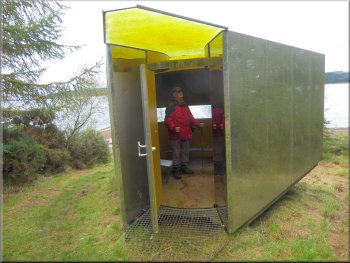
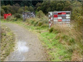
The purpose of the exhibition was to illustrate the life cycle of the salmon that can now make their way up the Tyne to breed thanks to improved water quality. There is an information board about the cubes and the return of salmon to the Tyne. |
After a few hundred metres we came to a series of large sculptural cubes by the track. These are four of the original ten 'Tyne Salmon Cubes' that formed exhibition that visited various locations in the Tyne valley.
The Tyne Salmon Cubes by the Lakeside Way
|
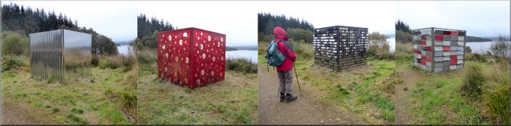
The Tyne Salmon Cubes by the Lakeside Way
|
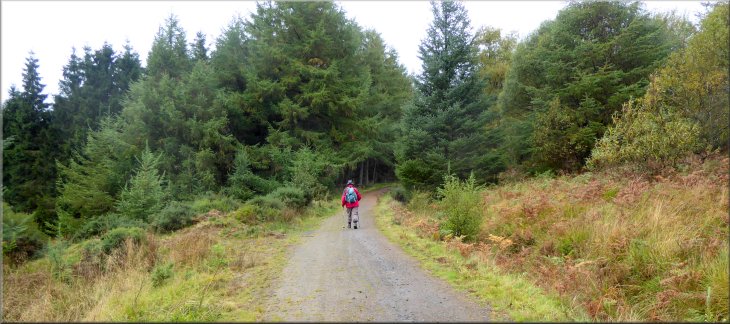
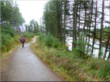
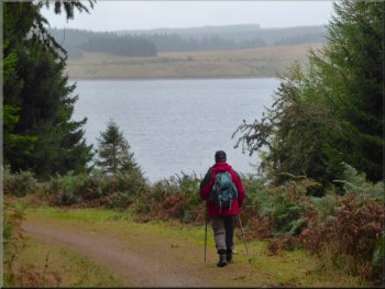
Lakeside Way going towards Plashetts Incline
Lakeside Way along the west side of the peninsular
Lakeside Way along the west side of the peninsular
The railway took tubs of coal from the mine down the valley side to the railway in the valley bottom that is now lost beneath the lake. From the incline we continued along the Lakeside Way for about 2km along the western side of the peninsular to Robin's Hut on the end of the peninsular at map ref. NY 671 883. |
From the cubes we continued along the Lakeside Way to Plashetts Incline. There is an information board here that explains that long before there was any though of a reservoir here there was a coal mine. The incline here that descends into the water of the lake is all that remains of a railway incline.
Looking down Plashetts Incline to the lake
Looking south along the west side of the peninsular
Lakeside Way near the southern end of the peninsular
|
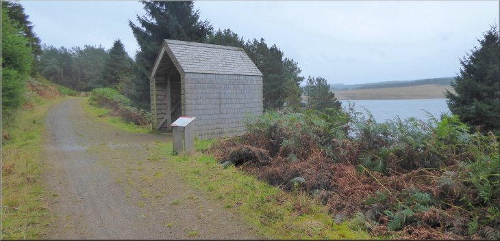
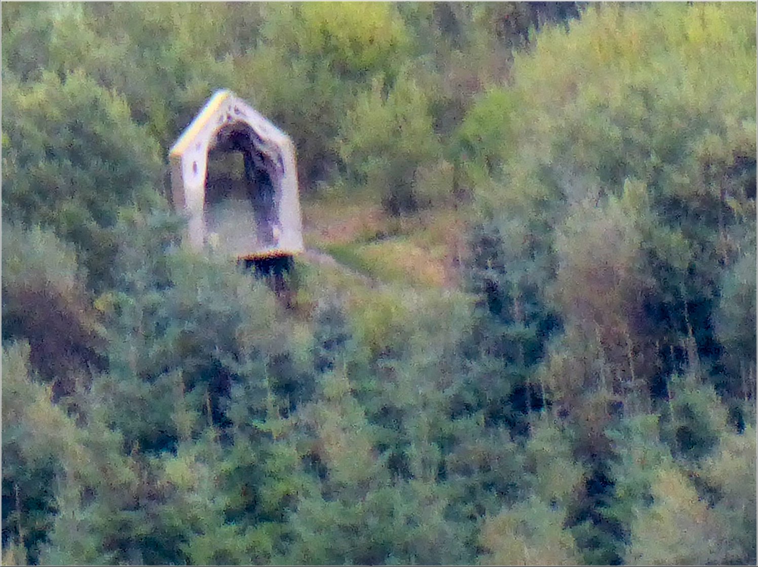
Robin's Hut next to the Lakeside Way
|
View of the lake from Robin's Hut
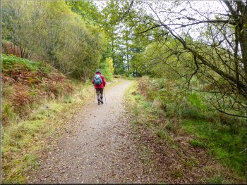
Lakeside Way heading back to The Belvedere
Across the lake from Robin's Hut there was Freya's Cabin (where we had our lunch yesterday) just visible amongst the trees above the southern shore of the lake. |
Across the lake from Robin's Hut there was Freya's Cabin (where we had our lunch yesterday) just visible amongst the trees above the southern shore of the lake.
Freya's Cabin seen across the lake from Robin's Hut

Lakeside Way heading back to The Belvedere
|
Turning right off the Lakeside Way on to the grassy track back to The Belvedere & the jetty
|
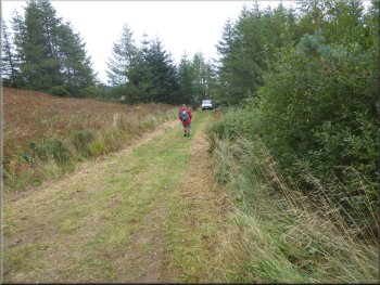
Grassy track back to The Belvedere
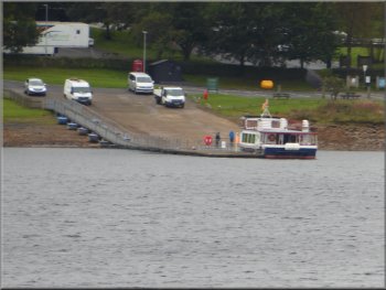
The ferry beginning its journey from the Leaplish jetty
The ferry route back to Leaplish included a tour of the upper part of the reservoir before we landed back at the Leaplish jetty and the end of today's trip. The whole walk was about 10km and we had plenty of time to complete the walk and have some lunch in the three & three quarter hours between landing from the morning ferry (11.20) and boarding the afternoon ferry (15.05). (Note: The Lakeside Way uses well maintained and well signed tracks and this is the route we followed for most of the walk. However my OS Explorer map shows a public footpath close to the lake shore but I could not find any trace of it.) |
Here we turned right off the Lakeside Way to follow the grassy track down to The Belvedere where we sat inside to have our lunch. From here we were able to watch the ferry, 'Osprey', set off from the Jetty at Leaplish Waterside Park and make its way to the jetty at Tower Knowe, then sail on towards the dam and round the valve tower and then head to our jetty at The Belvedere. We made our way down to the jetty and watched the ferry splashing though the choppy water to pick us up punctually at 15.05.
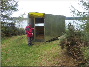
Entering The Belvedere for our lunch
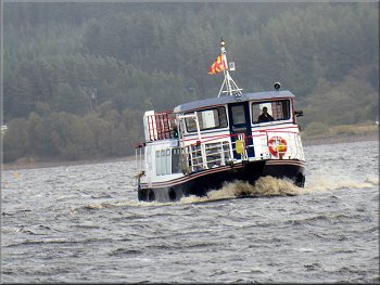
Ferry crossing the choppy lake to pick us up
|
Waiting at The Belvedere jetty for the ferry back to Leaplish
|