|
2001 walks |
2002
walks |
2003 walks |
2004
walks |
|
2005 walks |
2006
walks |
2007 walks |
2008
walks |
|
2009 walks |
2010
walks |
2011 walks |
2012 walks |
|
2013 walks |
2014 walks |
2015 walks |
2016 walks |
|
2017 walks |
2018 walks |
2019 walks |
2020 walks |
|
2021 walks |
1993-2000 library |
Find a Route Index |
|
A few Routes to print out |
Request a Route... |
Route No. 716 - Thursday 19 April 2018
Brown Hill Woods, Plumpton Rocks,
Braham Hall, Crimple Beck circuit - 8km
Harrogate . . .
Route map from Ordnance Survey
Open Space service.
Map: OS Explorer 289 Leeds, Harrogate, Wetherby & Pontefract
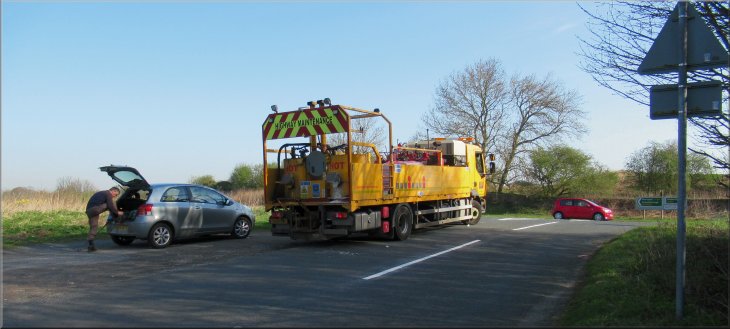
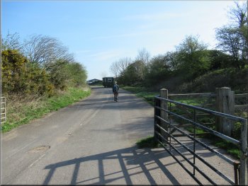
Our parking spot at the junction of a minor road and the A66 a few hundred metres outside the Harrogate by-pass
|
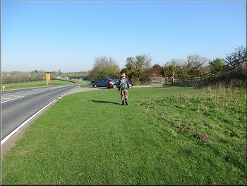
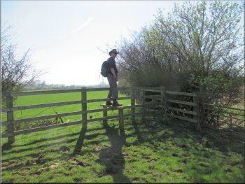
Heading for our tuning off the A66
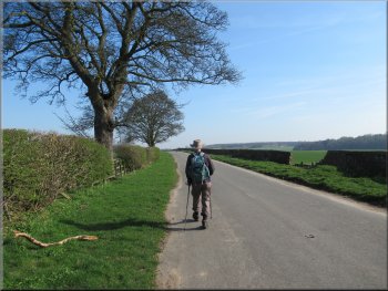
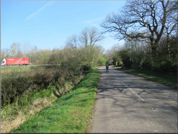
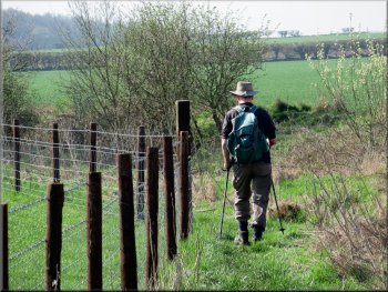
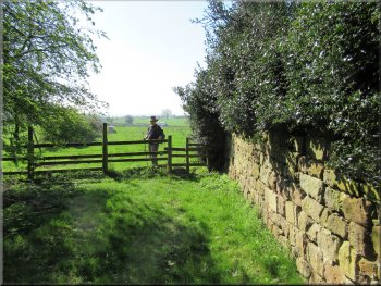
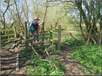
Following the bridleway northwards along the old road
There is a public bridleway along it and we were following the route of the bridleway. As soon as we began walking along this old road we could see a good deal of activity ahead and as we approached a young woman with identity badge around her neck and two-way radio in her hand asked us if we wouldn't mind waiting a few minutes whilst they finished filming a shot of a car driving along the road for an episode of Emmerdale. Obviously for so worthy a cause we simply had to wait. After a few minutes we were able to proceed for a few hundred metres to another similarly equipped young woman who asked us to wait again whilst they filmed another 'take' of the car driving along the road. Again after a few minutes we were able to continue along the old road to its end next to the Harrogate by-pass (A658) at map ref. SE 351 547.
|
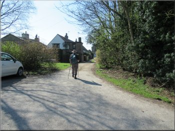
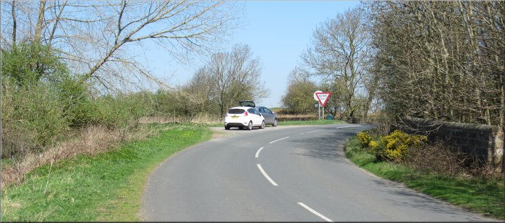
Today was the hottest April day since records began in the late 1800's, 23degC as we ended our walk. For our walk today we parked at the junction of a minor road and the A66 at map ref. SE 349 535 at the corner of Brown Hill Wood, a few hundred metres outside the Harrogate by-pass. When we arrived there was a large lorry and a team of workmen re-painting the white lines on the road at the junction. At 9.15am when we started our walk it was already quite warm with clear blue sky all around. From our parking spot we crossed the A66 and turned left towards the Harrogate by-pass. After about 70m we turned right along a farm access road. On the map it looks like any other fenced farm access track but in fact it is a metalled road made redundant after the building of the Harrogate by-pass.
Bridleway along the old road off the A66
Nearing the northerly end of the old road
|
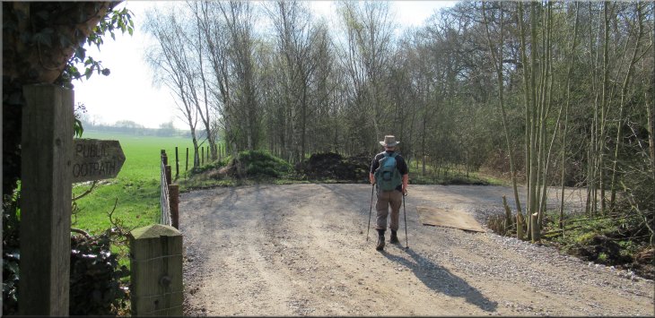
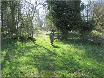
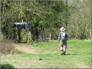
Turning right on to a footpath heading roughly southeast towards the Plumpton Rocks visitor attraction
|
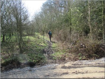
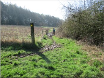
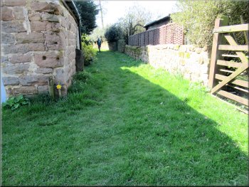
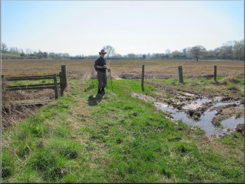
Footpath heading SE from the end of the old road
Footpath heading SE towards Plumpton Rocks
We joined a bridleway coming in from our left
. . . after only about 25m we turned right along the bridleway
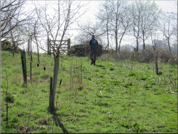
We continued along the bridleway for another 200m where we turned left following the bridleway along a track towards Plumpton Hall. After only about 25m we turned right off the track to Plumpton Hall to follow the bridleway though some young woodland and out into fields with a view of Plumpton Hall on our left. |
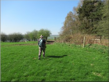
Here we turned right to almost double back along a public footpath heading roughly southeast towards the Plumpton Rocks visitor attraction. The path was quite muddy after all the rain in recent days and weeks. After about 500m the path joined a bridleway coming in from our left.
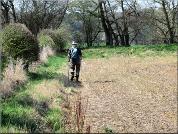
Footpath heading SE from the end of the old road
A lovely scene in the spring sunshine
Turning left on the bridleway towards Plumpton Hall . . .
Gate from the young woodland to the fields
|

Plumpton Hall away to our left
|
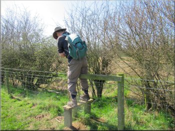
Stile on to the Plumpton Hall access road
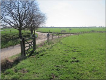
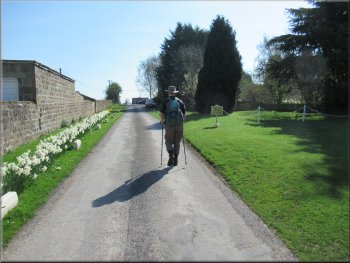
We followed the access road in a semicircle around the edge of the Plumpton Rocks visitor attraction to the stone gate house at the entrance at map ref. SE 355 534.
|
We continued across the fields to a stile on to another access road leading to Plumpton Hall on the left but we followed the access road to our right.
Access road around the edge of Plumpton Rocks site
|
Leaving Plumpton Rocks site via the gate house on the access road
|
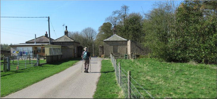
Access road to Plumpton Square
Track past the houses to the fields
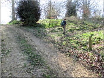
Stile to the field
We headed diagonally across the field to the bottom corner where there was a stile onto the main road (A66). From the stile we crossed the road to another stile opposite into the fields on the far side of the road. |
We passed through the entrance and at once turned left towards the buildings called Plumpton Square on the map. After about 100m we turned right off the access road to follow a public footpath along a track down the side of houses for about 100m to a stile into a field.
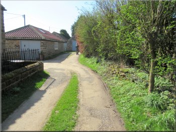
Turning off the access road to a track by the side of the houses
Track from the houses to the fields
Crossing the field to the A66
|
Crossing the A66 from this stile to the stile opposite
|
Nearing the gateway at the top of the slope
Path through the outcrops heading towards Braham Hall
Looking back to the sunny side of the outcrop we had passed
More large outcrops further down the valley side
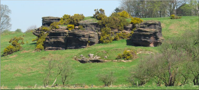
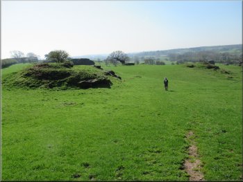
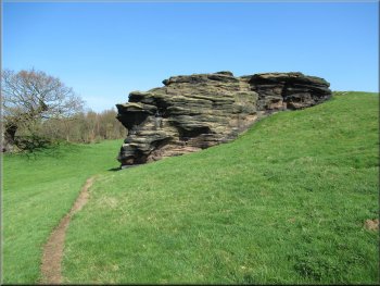
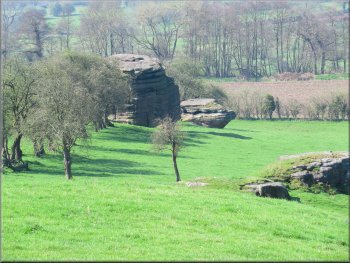
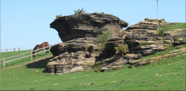
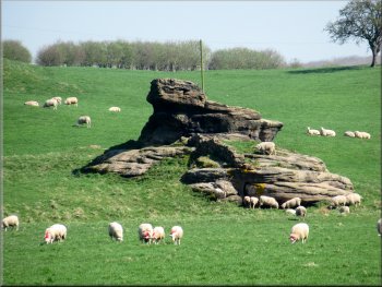
We made our way along the valley side towards Braham Hall passing some of these impressive rock formations along the way. The pattern of the sand beds laid down millions of years ago can be seen clearly in these ancient rocks. I believe these outcrops are what remains of a layer of gritstone after the erosion caused by the glaciers of past ice ages. |
We continued along the route of the public footpath up the right hand edge of the field to a gateway at the top of the rise. From this gateway we were looking across the valley of Crimple Beck (or the River Crimple as it is rather grandly known). Scattered along this side of the valley are many weathered gritstone outcrops that culminate, away to our right, in some similar outcrops around a small lake at the Plumpton Rocks visitor attraction.
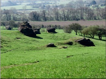
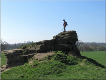
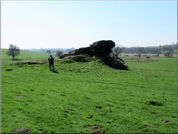
Gritstone outcrops in the Crimple valley seen from the gateway
Jim's tiny figure gives the scale of these rocky outcrops
Weathered columns of gritstone below us
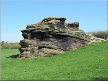
Bedding planes in the gritstone clearly visible in the sunshine
|

Heading for the corner of the boundary fence of the land around Braham Hall
|
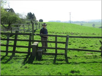
From this stile we walked to the power line pole ahead
Jim still retains his youthful vigour!
Rectangular pond beyond the 'landmark' rock
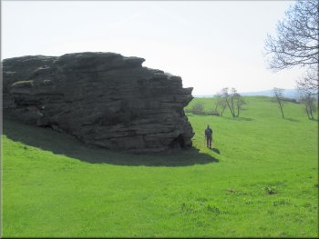
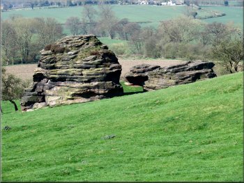
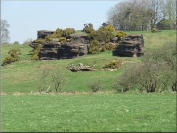
We continued past a rectangular pond with a large diesel powered pump standing at one end. Beyond this pond we came to a series of horse paddocks below Crosper Farm and more of these fascinating gritstone outcrops. |
We continued past the grounds of Braham Hall to a power line pole at the edge of the slope down into the valley. From there we could see down the hillside to a particular rocky outcrop next to a marshy area. We made our way down to this rock and from there around the marshy area to a stile.
From the power line pole we could see this 'landmark' rock
below us and almost due south

Marshy land next to the 'landmark' rock
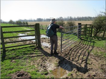
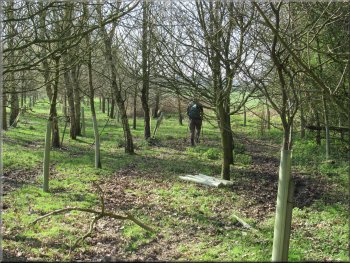
Gate into the first of a series of horse paddocks
|

Yet another outcrop below Crosper Farm
|
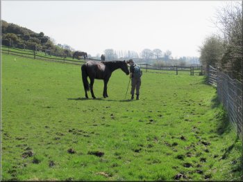
Jim makes friends with everyone
|
An impressive outcrop just below Crosper Farm
|
Stile out of the last horse paddock
At the corner of the field we turned right to Crimple Beck
Nearing the flood bank by the Crimple Beck
(Note: it looks as though originally the path did not cross the hedge but stayed in the same field to the corner where there is still a small wooden footbridge across the ditch but access to it is completely blocked by barbed wire now) On our side of the hedge we turned right at the corner and walked about 60m along the field edge to the path along a low flood bank next to the Crimple Beck. |
Just beyond the farm about halfway along a larger field there was an unmarked stile through the hedge on our right. Here we followed the public footpath over the stile to cross from one side of the hedge to the other and continued with the hedge now on our left hand side to the corner of the field.
Stile to cross the hedge half way along this field edge
Disused footbridge where the path used to cross the ditch

Turning right to follow Crimple Beck upstream
|
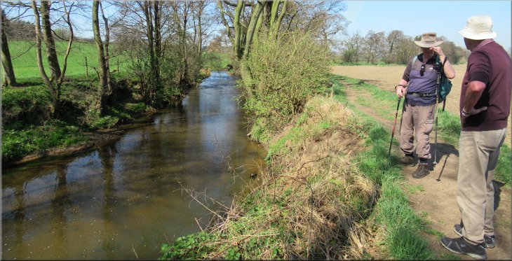
The gentleman talking to Jim overtook us on his walk from Spoffoth
|
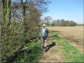
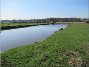
Following the path upstream beside Crimple Beck
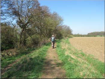
Nearing the end of our walk along the Crimple Beck

The road bridge over Crimple Beck
After about 500m we came to the end of our walk at the little parking area at the junction with the A66 where we had left the car. The whole walk had been about 8km and, including about 15 minutes delay for the 'Emmerdale' film makers it had taken us around three hours to walk on this very warm day. |
At the beck we turned right and walked along the bank next to the beck heading roughly northwest for about 2km to a minor road at map ref. SE 349 531, next to the road bridge over the Crimple Beck. At the road we turned right and walked along the road up the hill with Brown Hill Wood on our right hand side.
Winter floods have damaged all the stiles beside the beck
Following the path to join a minor road
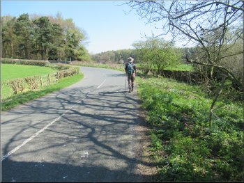
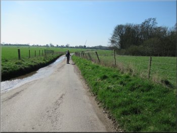
Following the road past Brown Hill Wood
|
The end of our walk at the little parking area next to the A66
|
All the way back along Crimple Beck we could see these gritstone outcrops across the valley.
Note: If the name Crimple sounds familiar maybe it's because the ICI Research department head quarters were in Harrogate near the River Crimple but see also Wikipedia on Crimplene.
|


|