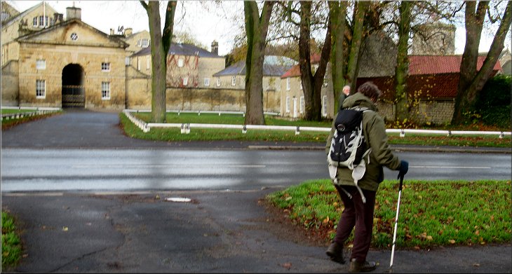
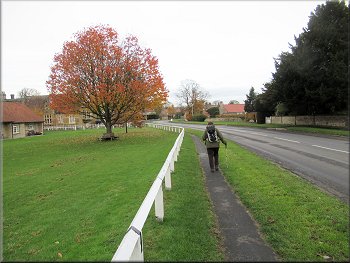
Setting off from the village hall car park opposite Hovingham Hall
|

|
|
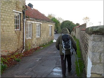
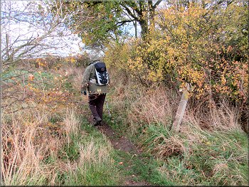
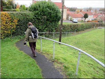
Path along the side of the Malt Shovel pub yard
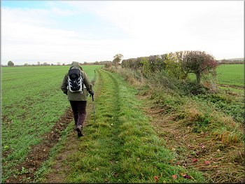
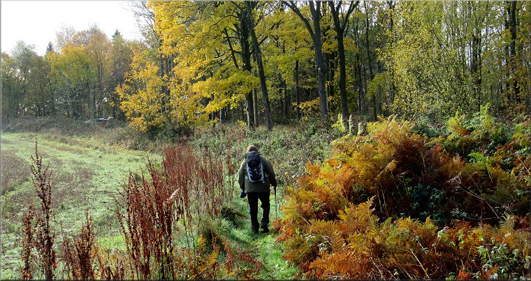
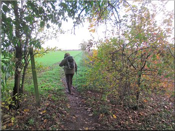
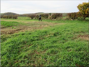
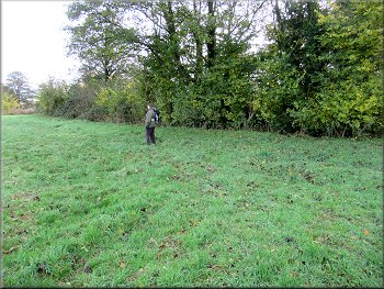
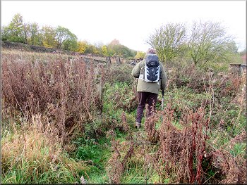
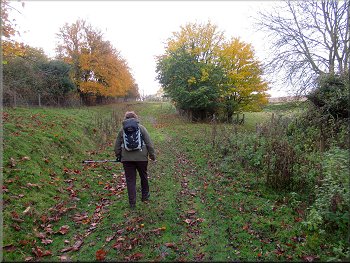
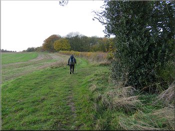
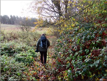
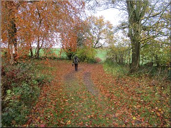
Following the path along the edge of the fields
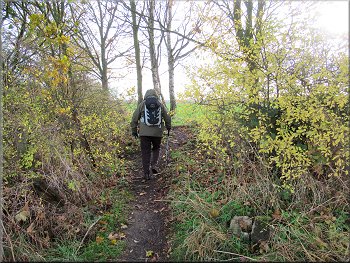
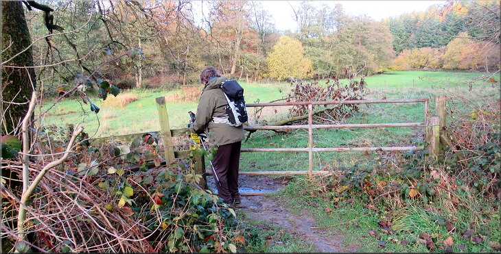
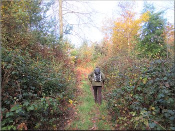
Between the village hall and the pub is a public footpath along the edge of the pub yard. We followed this path out of the pub yard and past a tennis court on our right to the fields east of the village. We walked along the edge of a large field for about 900m to a little wooden footbridge over a ditch at the end of the fields.
|
This morning my wife & I did a short walk to see the last of the autumn colour before the heavy rain and gales forecast for this weekend. We drove to Hovingham in the Howardian Hills and parked at the village hall car park (map ref. SE 668 757) where there is an honesty box with a suggested donation of £1 per car per half day. The village hall car park is next to the Malt Shovel pub on the Main Street in Hovingham.
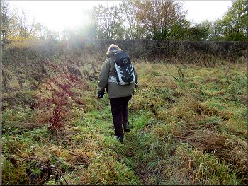
Start of the path along the field edge
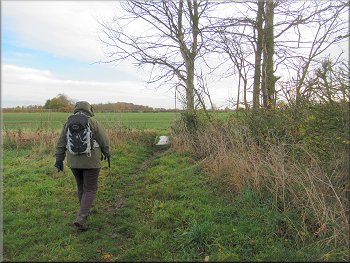
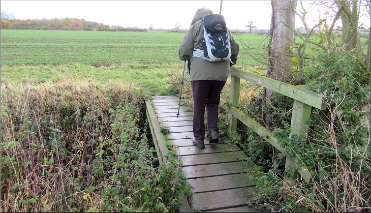
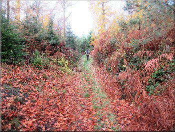
Nearing the footbridge over the ditch at the end of the field
|
Across the footbridge at the end of the field we turned left
|
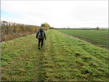
Path along the edge of the field from the footbridge
. . . then a right turn into the next field
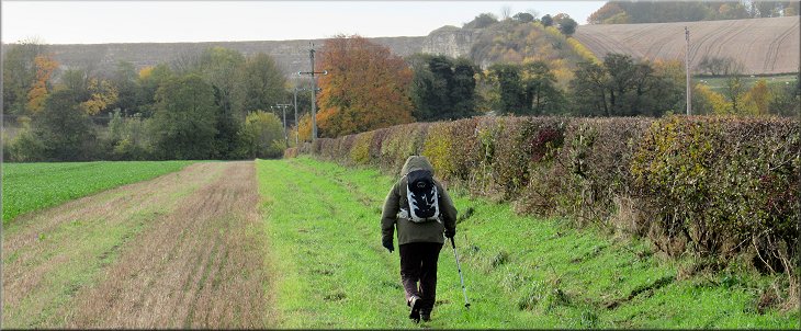
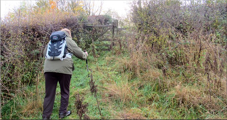
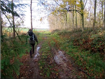
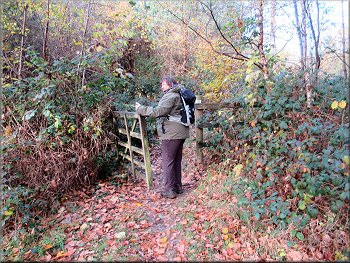
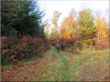
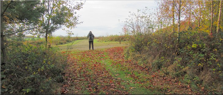
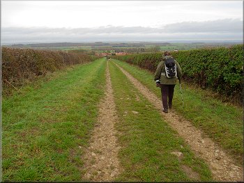
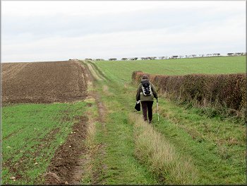
At the wooded corner the map shows the path continuing straight on but in fact the path turned left for a few metres and the turns right through the trees and then continued along the northern edge of the next field. However as soon as we emerged from the trees we turned right along a bridleway at the field edge with the hedge on our right. We continued along this bridleway at the field edge across two large fields towards Wath. |
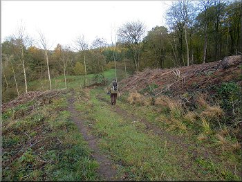
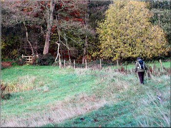
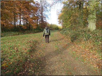
We crossed the footbridge, quite slippery on this damp morning, and then we turned left keeping to the edge of the field heading northwards. After about 100m we came to the corner of the field and turned right still following the footpath along the northern edge of the field. After another 200m we came to the end of the field at a little wooded corner.
Left turn at the wooded field corner . . .
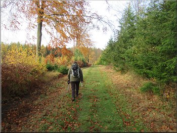
Bridleway along the field edge heading for Wath
|
Bridleway along the field edge heading for Wath
< |
The corner of the field next to Wath Beck
Our left turn at the edge of Wath
Bridleway with the fence now on our left
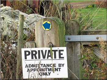
The arrow above the Private sign showed the bridleway going left along the side the fence. It was all very overgrown. After just a few metres there was a gap in the fence on our right where we crossed the fence and continued along the route of the bridleway climbing up the hillside as close to the fence on our left as the weeds would allow. At the top of the slope we came to a bridleway gate on to the road, B1257.
|
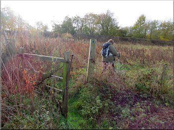
We came to the corner of the field next to Wath Beck where we turned left following the tall hedge next to the beck. After about 100m we turned right following the bridleway along a farm track over a bridge across the beck. We continued along the farm track for about 100m to a gate into a very overgrown field of weeds. There was a prominent 'Private' sign at the gate.
Following the farm track across Wath Beck
Path here through a gap in the fence
Heading for the gate at the top of the slope, fence on our left
|
Bridleway gate on to the road, B1257, at the top of the field
|
Left turn off the B1257 opposite the business units at Wath
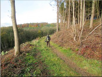
Bridleway climbing up from Wath past the quarry
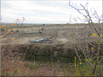
Looking down into Wath Quarry from the track
We followed the track climbing up past a large quarry (Lafarge Aggregates) on our left to the corner of Wath Wood. As we climbed up past the quarry there was a fine view looking back, northwards across the Vale of Pickering towards the North York Moors in the hazy distance. |
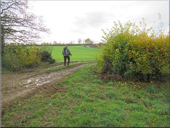
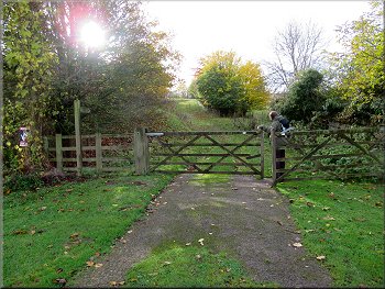
Through the gate we crossed the road and turned right to walk along the grass verge for about 150m. Here we turned left through some double field gates following the route of a bridleway along a grassy track climbing the hillside opposite the little cluster of business units at Wath.
Left turn off the B1257 opposite the business units at Wath
Bridleway climbing up from Wath past the quarry
Following the track to the corner of Wath Wood
|
A fine view looking back, northwards across the Vale of Pickering towards the North York Moors in the hazy distance
|
Bridleway along the edge of Wath Wood
Bridleway gate to join the Centenary Way
Following the Centenary Way down to Wath Beck
Here we turned left following the Centenary Way westwards along a forestry track. We followed the track bending round to our right and dropping down into the valley of Wath Beck. |
We continued along the bridleway in the field along the edge of Wath Wood to a bridleway gate in the corner of the field. Through the gate we joined the route of the Centenary Way.
Bridleway along the edge of Wath Wood
Following the Centenary Way down to Wath Beck
Following the Centenary Way down to Wath Beck
|
Gate to the fields by the beck in the bottom of the valley
|
Path across the field in the bottom of the valley
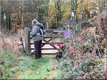
Gate on the Centenary Way to climb up through the wood
Centenary Way route up from the little valley
After a few metres we came to a gate onto a path along forestry tracks climbing up through the woodland and bending round to our left. About 300m from the valley bottom we reached a junction in the forestry tracks. Here we turned right joining the route of a bridleway along the route of the Ebor Way. |
At the bottom of the slope we came to a gate into a field in the bottom of the little valley. We followed the path across the valley bottom to the wood on the far side of the valley. There was a footpath to our left along the edge of the wood but we kept straight on along the Centenary Way.

Entering the wood across the valley
Centenary Way route up from the little valley
Centenary Way route up from the little valley
|
Junction where we turned right to join the Ebor Way route
|
Following the Ebor Way route to the edge of the wood
Following the Ebor Way route at the edge of the wood
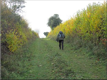
Continuing along the Ebor Way route across the fields
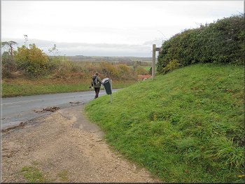
After about 900m along the path between the fields we reached the road on the edge of Hovingham. At the road we turned right and walked down towards the village. |
We continued along the Ebor Way route for about 500m to the edge of the woodland. From the edge of the woodland we followed the Ebor Way along a straight track.
Following the Ebor Way route to the edge of the wood
Continuing along the Ebor Way route across the fields
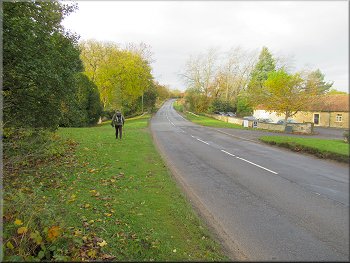
Turning right at the road heading into Hovingham
|
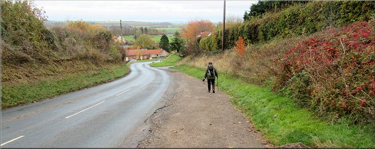
Walking down the road into Hovingham
|
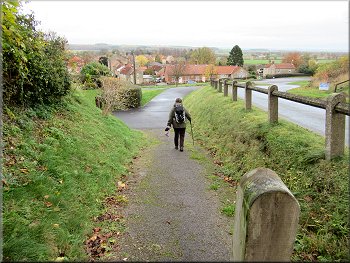
Path that cuts the corner off down to Main Street
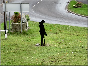
Silhouette of a World War 1 solder for remembrance day
Walking along Main Street back into Hovingham
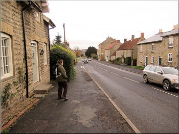
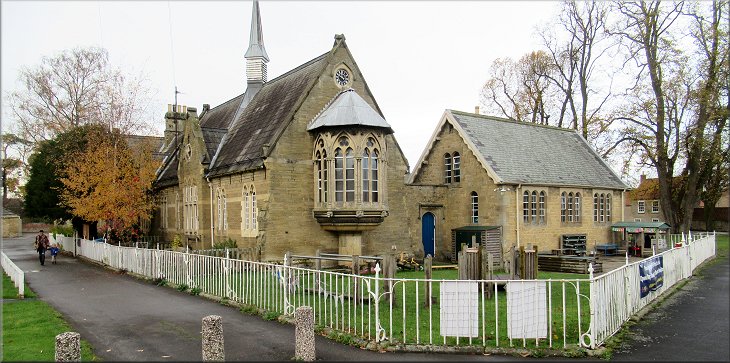
We walked along Main Street past the old schoolroom building with its lovely Oriel window dating from the mid 1800's. We returned to the village hall and the end of our walk. The whole walk had been just a little over 6km and it had taken me almost two and a half hours to walk, I'm just getting slower and slower! |
We crossed the road and followed a surfaced footpath down to the Main Street through Hovingham. On the green next to this path there was a silhouette figure of a World War 1 soldier ready for Remembrance Sunday this weekend.
Following the path down to Main Street
Walking along Main Street back into Hovingham
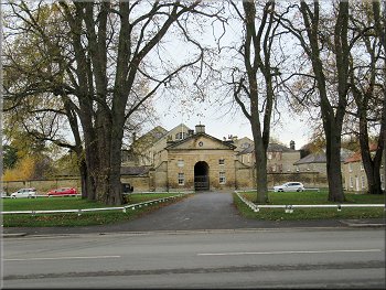
The entrance to Hovingham Hall opposite the village hall
|
The school building with its Oriel Window dating from the mid 1800‘s
|