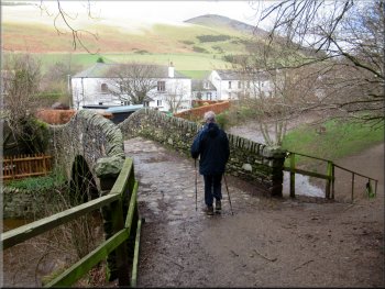
My friend, Jim, and I have been staying in a pub in Peebles in the Scottish Borders for a couple of nights to do short walks in the Tweed Valley Forest Park. Today is our last day and really it is just the long drive home. We are both getting on in years and we will be doing the journey in stages with a good break between them but we cannot leave this lovely area without a very short walk up to a great view point (a 'lookout' if you are American). So this morning we drove from Peebles to Innerleithen and parked at the side of Leithen Road at map ref. NT 332 371 next to a track leading to a bridge over Leithen Water.
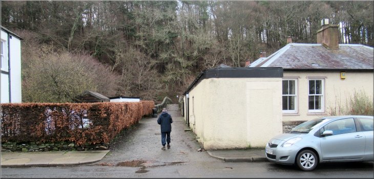
Setting off from Leithen Road to the bridge over Leithen Water
|

|
|
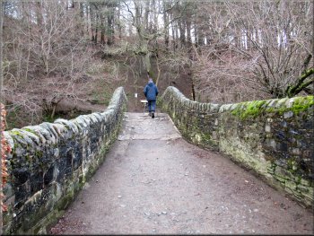
Crossing the Leithen Water bridge
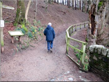
After about 50m we came to an information board with a map of a way-marked route up through Pirn Wood and around the site of an iron age hill fort. We planned to walk up to the site of the fort and come back the same way before setting off on the long drive home. The route is marked by posts with a blue band around the top. |
From our parking spot we walked along the track off the road to a little stone arch bridge across Leithen Water. There has been quite a lot of rain recently and the river is quite a torrent with surging brown water & white foaming waves. We crossed the bridge and turned right along a track climbing gently up the hillside.
Turning right from the bridge
|
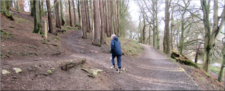
Just past the large information board on our left we took the left hand fork in the path
|
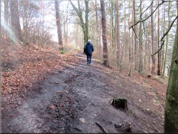
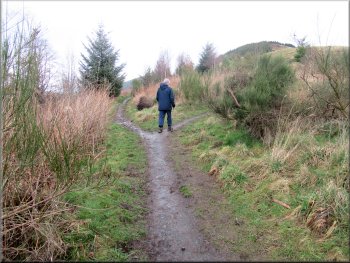
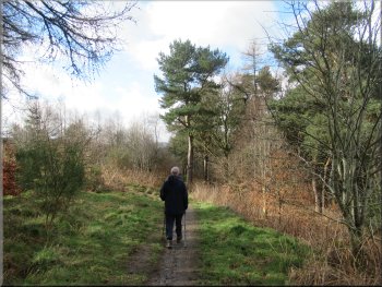
Following the 'Blue Route' up the hillside
After about 130m we came to a junction in the track where we followed a hairpin bend round to our left. |
Just past the information board the path forks. The right hand fork seems to keep at low level along the river bank. We too the left hand fork, the 'Blue' route, climbing steadily up the wooded hillside.
Following the hairpin bend round to our left
|
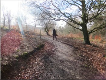
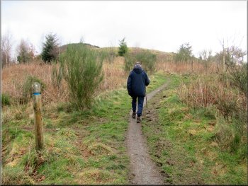
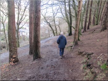
Following the 'Blue Route' up towards the site of the hill fort
|
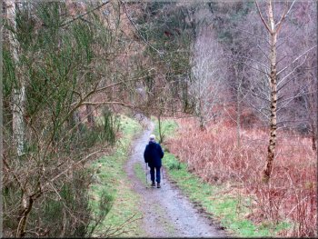
We took the right hand fork in the track here
The right hand path from the fork
The right hand fork was the return Blue Route from the fort site. We took the right hand fork and followed it directly up to the hill fort site cutting the Blue Route short by about 1km. |
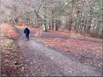
We continued climbing up the hillside after about 220m there was a fork in the path where the blue route continued along the left hand fork to go around the hill fort summit.
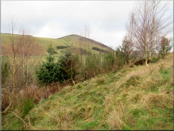
Lee Pen seen from the path to the hill fort
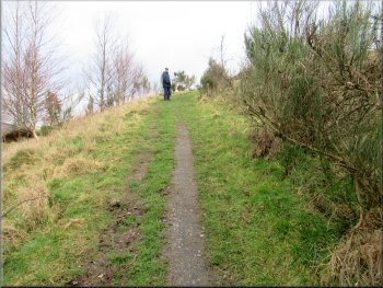
Path up to the site of the hill fort
|
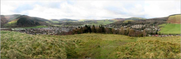
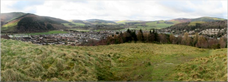
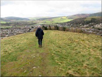
View from Pirn Hill Fort over Innerleithen and the Tweed Valley
At the site of the hill fort there is a circle of seven stone plinths each with a stone flag top with an embossed image relating to the history of the site. There is a lovely panorama from here over Innerleithen and the River Tweed valley, and along the valley of Leithen Water to the north. |
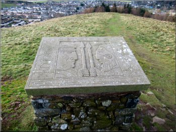
One of the seven plinths at the hill fort site
|
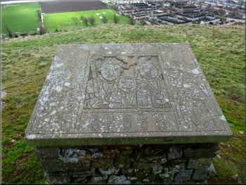
One of the seven plinths at the hill fort site
|
Leaving the hill fort site by the way we had come
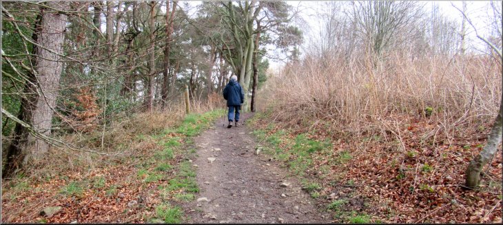
Following the Blue Route back down the hillside
Back down to the information board
It was a fine start the day and the view from the old fort site was amazing in the morning sunshine. The walk took us about an hour before we had to start the drive back to our homes near York. |
We stopped at the site of the fort for some time admiring the view and then we made our way back down the way we had come. The whole walk there and back was less than 1.5km but the climb was just the exercise we needed.
Following the Blue Route back down the hillside
Back round the hairpin bend
Back over the Leithen Water bridge
|
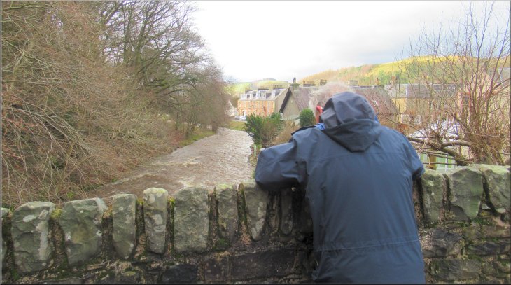
A last look at Leithen Water before returning to the car at the end of our walk
|