Remnants of the stone circle at Simon Howe
Menu:
National Parks
The approximate route is shown by a blue line.
Use your mouse to drag the map to the area of interest and
zoom in/out using the controls on the left hand side of the map.
Please use my map to find the route on your own large scale
walking map such as the OS Explorer series at 1:25000.
If you have time if you do this walk please let me know how you get on.
That would be very helpful to me to keep my information accurate and up to date.
Please note that I provide this free service to you as a fellow walker on the
understanding that you walk
the route entirely at your own risk and that the information is not used for
any commercial purpose.
Library Route 930523
Saltergate, Havern Beck, Wardle Green, Simon Howe,
Wheeldale, Roman Rd, Cropron Forest, Raper's Farm,
Newtondale Halt, Hudson's Cross circuit - 21km
North York Moors . . .
Map: OS Explorer OL27 North York Moors Eastern area at 1:25000
General Directions (see markers on the route map)
1.) Start at the Saltergate car park off the A169 pickering to Whitby road at map ref. SE852937. From the car park walk northwards along the right hand side of the road towards the hairpin bend on Saltergate Bank for about 350m. Here turn right off the main road to follow a bridleway through the plantation down the bank to emerge back on the A169 opposite the access track to Glebe Farm. Cross the main road and follow the footpath along the farm access track, past the farm and on to the open moor. The path follows the top of the steep slope down into the valley of Havern Beck. About 800m from the A169 the path reaches the edge of Pifelhead Wood and bends to the right to begin a steep descent down the valley side to Havern Beck in the very wet and marshy valley bottom. Here the path heads westwards to an unmanned level crossing on the North York Moors tourist steam railway. Continue over the level crossing and up to the forestry access road along Newtondale at map ref. SE842953.
2.) At the forest access road turn right to walk northwards along Newtondale for about 600m. Turn left here off the forestry access road on to a path climbing steeply up the valley side for almost 300m to an access track at the top of the slope. Here turn right and continue along a wet track along a fire break for about 700m to map ref. SE835963. Here turn left and continue westwards along the fire break to join a forestry access road at map ref. SE831962. Follow the forestry access road for about 800m to a bridleway on the right along the edge of a field for about 100m to the remains of the farmstead at Wardle Green.
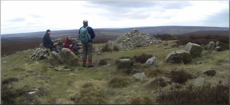
3.) At Wardle Green go through the pedestrian gate to the open moor, drop down to cross the stream and follow the path up the moor past the large semi-circular sheep stone shelter and continue up to join the route of the Lyke Wake Walk on Simon Howe at map ref. SE829981. The trig point on Simon Howe is at map ref. SE831982.
4.) From Simon Howe take the Lyke Wake Walk route heading westwards for about 1.8km to the stepping stones over Wheeldale Beck. Once across the beck turn left to take the path climbing diagonally up the hillside to the south west for about 450m to the Roman Road, known locally as Wade's Causeway. At the Roman road turn left and follow the Roman road for about 1km to a minor road at map ref. SE803972. Continue southwards along the road across the ford over Wheeldale Beck and up the gentle rise along the road for about 700m to a forestry access road on the left at map ref. SE800963.
5.) Here turn left off the public road to follow the forestry access road first north east for about 250 and then round a right hand bend to for another 100m to a pretty pond on the right of the road. Continue along the forestry access roads for a little over 1km to a cross roads at map ref. SE812961.
6.) At this crossroads turn right to head south passing Brown Head a few hundred metres away to the right. As the forestry access road bends round to the right to head south west at map ref. SE811956, opposite the access road to Brown Head on the right, turn left on to a footpath in the edge of the forest for 100m then across fields for about 500m to the Forest Drive at map ref. SE811950 near Brown Howe. Cross the road and continue along the path heading south for about 1km to Heads Road at map ref. SE811940 near Raindale Head.
7.) At Heads Road turn right and follow the road for about 700m around a series of bends to cross a stream to map ref. SE871941. Here there is another access road on the left and opposite there is a footpath into the forest. Turn right off the access road to follow the footpath through the forest dropping down to cross the valley of Sole Beck and then climbing up to a bend in a forestry access road near Raper's Farm. Continuew along the access road past Raper's Farm and down into Newtondale. Follow the road along the bottom of Newtondale next to the railway the railway station called Newtondale Halt.
8.) Just before the station there is a bridge carrying the railway over a track. Go under the bridge and turn left to follow a path between the railway and the stream that downstream becomes Pickering Beck. After about 250m there is a footbridge on the right over the stream. Cross this bridge and follow the path straight up the hillside. It's a steep slimb with flights of steps in places. The path reaches the moor top at Hudson's Cross, map ref. SE838946. At Hudson's Cross turn left to follow the path around the cliff top above Newtondale for almost 700m to map ref. SE845948. From here, EITHER retrace the outward route back via Glebe Farm, OR cross the open access moorland to join a public footpath at map ref. SE847943 and follow the path to the main road (A169) at the hair-pin bend on Saltergate Bank. Then follow the road back to the car park.
(top of page)