Menu:
National Parks
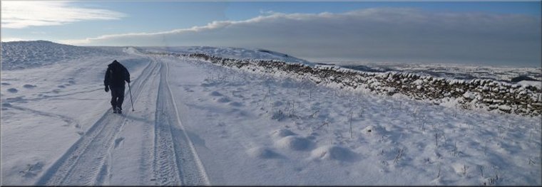
The approximate route is shown by a blue line.
Use your mouse to drag the map to the area of interest and
zoom in/out using the controls on the left hand side of the map.
Please use my map to find the route on your own large scale
walking map such as the OS Explorer series at 1:25000.
If you have time if you do this walk please let me know how you get on.
That would be very helpful to me to keep my information accurate and up to date.
Please note that I provide this free service to you as a fellow walker on the
understanding that you walk
the route entirely at your own risk and that the information is not used for
any commercial purpose.
Library Route No.941217
Nether Silton. Kepwick, Atlay Bank, Cleveland Way,
Oak Dale, Big Wood, Over Silton circuit - 18km
North York Moors . . .
Map: OS Explorer OL26 North York Moors Western area
General Directions (see markers on the route map)
1.) Start at the village green in Nether Silton, map ref. SE455923. From the village green walk along the road through the village for about 100m to pass the church on the right hand side. Turn right off the road around the side of the churchyard and take the public footpath heading south east from the village across the fields for about 1.5km to the road at the eastern edge of Kepwick at map ref. SE466907.
2.) At map ref. SE466907 cross the road and continue along the public footpath opposite to climb up Atlay Bank and along the ridge to the junction in the paths at Gallows Hill, map ref. SE485899. From this junction take to path (public bridleway) heading north east climbing up the moor to join the Cleveland Way at map ref. SE488909.
3.) From map ref. SE488909 follow the Cleveland Way northwards along the Hambleton Drove Road for about 5km to the road at the foot of Black Hambleton, map ref. SE479959. At the road turn left to continue along the Cleveland way route down into Oak Dale for about 1.1km to Oak Dale farm.
4.) Turn left here opposite Oak Dale farm to drop down to a pedestrian gate in the corner of the small field. Follow the path across a footbridge over the beck and climb up through Big Wood to follow the path along the top of the escarpment for a little over 1km to Thimbleby Bank where the path begins to drop down the hillside and skirt the bottom of the slope to map ref. SE451944.
5.) At map ref. SE451944 the path forks. Take the left hand fork (although both track go to Over Silton) and continue for about 1.2km through the forest to the road junction in Over Silton at map ref. SE451932. At the junction turn left and follow the road for about 250m to a public bridleway on the right hand side of the road. Turn right off the road and follow this bridleway past Greystone Farm to the road at the western edge of Nether Silton. At the road turn left and follow the road back into the village and the end of the walk at the village green.
(top of page)