Menu:
National Parks
The approximate route is shown by a blue line.
Use your mouse to drag the map to the area of interest and
zoom in/out using the controls on the left hand side of the map.
Please use my map to find the route on your own large scale
walking map such as the OS Explorer series at 1:25000.
If you have time if you do this walk please let me know how you get on.
That would be very helpful to me to keep my information accurate and up to date.
Please note that I provide this free service to you as a fellow walker on the
understanding that you walk
the route entirely at your own risk and that the information is not used for
any commercial purpose.
Library Route No. 950318
Newgate Bank, Rievaulx Bank, Roppa Wood,
Car Cote Ridge, Spout House, River Seph, Laskill,
Feather Holme Farm, Fair Hill Farm, circuit - 16km
North York Moors . . .
Map: OS Explorer OL26 North York Moors Western area
General Directions (see markers on the route map)
1.) Start at the Forestry Commission car park at the top of Newgate Bank off the Helmsley to Stokesley road (B1257) at map ref. SE564890. From the car park entrance, off the B1257, follow the forestry access track north east through the plantation for about 400m out to Rievaulx Moor. From the edge of the plantation continue along the track around the top of the escarpment for about 1.8km to map.ref. SE580905. Here take the path on the left heading diagonally down the escarpment at Rievaulx Bank to reach the south western corner of Roppa Wood.
2.) From the south western corner of Roppa Wood follow the path along the western edge of Roppa wood to the north western corner of the wood at map ref. SE586916. Cross the stile by the gate here on to the open moor (Helmsley Moor). Follow the path northwards across the moor for about 3km to map ref. SE581943. The path across the moor is not well defined in places and a compass bearing may be needed. At map ref. SE581943 turn left to follow a path dropping down from the moor above Hollin Bower and then bending to the right and dropping down steeply to the road at Spout House, map ref. SE574935. Here there is the Sun Inn and an old thatched building, now a museum that was the old Sun Inn.
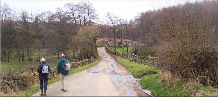
3.) At the road by the Sun Inn turn left and walk along the grass verge on the right hand side of the road for about 500m then turn right to follow a bridleway along the access track leading to Helm House farm. After about 200m the farm track crosses the River Seph. Just across the bridge keep straight on where the track bears right, and continue to follow the bridleway along the field edge for about 300m to meet another bridleway coming down the valley from Helm House farm. Turn left here and follow this bridleway down the valley for about 2.2km to a minor road called Knolls Lane at map ref. SE562910. At the road turn left to follow the road over Laskill Bridge across the River Seph and past Laskill Farm with its holiday cottages to reach the junction with the B1257 at map ref. SE564907.
4.) At the junction with the B1257 turn right and walk along the grass verge of the road for about 800m to map ref. SE565901 just beyond Feather Holme Farm. Turn right here off the road to follow a public footpath down the side of the farm and across the fields following the River Seph downstream to a footbridge across the river at map ref. SE561897. At the footbridge turn left away from the river and cross the large field passing a single large mature tree in the middle of the field to reach the edge of Fair Hill Farm at the far side of the field. Follow the path around the farm for about 200m to map ref. SE561892 and there turn left to head directly away from the farm and climb up the hillside across a small field, a farm access track and then another small field to a stile into the edge of a conifer plantation. Continue on the path climbing up the hillside along the edge of the plantation with fine views up Bilsdale and over to Easterside Hill. After about 300m the path along the edge of the plantation reaches the road (B1257) at map ref. SE565892. At the road turn right and walk up the road for about 200m to a point just past a small old quarry on the right of the road. From here there is an informal path up through the heather and sapling trees to the view point at the Newgate Bank car park and the end of the walk.
(top of page)