Menu:
National Parks
The approximate route is shown by a blue line.
Use your mouse to drag the map to the area of interest and
zoom in/out using the controls on the left hand side of the map.
Please use my map to find the route on your own large scale
walking map such as the OS Explorer series at 1:25000.
If you have time if you do this walk please let me know how you get on.
That would be very helpful to me to keep my information accurate and up to date.
Please note that I provide this free service to you as a fellow walker on the
understanding that you walk
the route entirely at your own risk and that the information is not used for
any commercial purpose.
Library Route No. 950401
Moorgate(Hawnby), Thorodale, Hambleton Drove Road,
Black Hambleton, Wheat Beck, Hawnby Moor circuit - 21km
North York Moors . . .
Map: OS Explorer OL26 North York Moors Western area
General Directions (see markers on the route map)
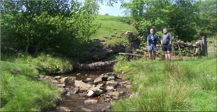
1.) Start at Moor Gate, map ref. SE539917, about 2km north of the village of Hawnby on the road between Hawnby & Osmotherley where there is a small parking area off the road. From the parking area cross the road at the cattle grid and follow the path opposite around the foot of Hawnby Hill for about 700m to Hill End House at map ref. SE536909. Just before the house there is a bridleway on the right heading down the hillside across the field to some woodland. Continue along the bridleway down through the woods to the River Rye and follow it along the river bank and across a footbridge. Continue along the bridleway out to a track around the edge of woodland by a ford at map ref. SE530970. At this track turn right and follow the track around the edge of the woodland and through a field (with a fine view across the valley to Hawnby Hill) to a farm access track at map ref. SE529911.
2.) Turn left to walk along the farm access track for about 400m, through Mount Pleasant Farm to another farm access track just beyond the farm. At this track turn left and walk down the slope for about 200m to a footpath off to the right at map ref. SE524910. Follow this path along the edge of the fields for about 600mto the edge of woodland at map ref. SE519908, where there is a sharp bend in an access track coming up the hill from Arden Hall. There is a public bridleway along this track which the route follows up Thorodale for about 2.3km to the edge of the plantation at map ref. SE502915. At the edge of the plantation turn right and follow the footpath climbing up onto the edge of Great Arden Moor. At the top of the slope the path turns round to the left and continues along a moorland access track for about 2.2km, skirting the ends of two small side valleys off Thorodale before reaching the Hambleton Drove Road.
3.) At the drove road turn right and follow the route of the Cleveland Way along this broad trackway northwards over Black Hambleton and dropping down around Black Hambleton along the edge of a forestry plantation for about 4km to map ref. SE479952. Here a bridleway comes out of the forest on the left of the track and there is a footpath off to the right of the track.
4.) At map ref. SE479952 take the footpath on the right across the moor for about 800m to join a bridleway along a farm access track. Turn right and follow this track for about 1km to Dale Head Farm. From Dale Head farm follow the bridleway dropping down to cross Wheat Beck. About 100m beyond the beck there is a footpath forking off the bridleway to the right. Follow this footpath across the moorland for about 1.7km to Lower Locker Farm at map ref. SE509940.
5.) Continue along the footpath past Lower Locker Farm above Wheat Beck heading downstream for about 1.2km to Far House. At Far House (map ref. SE516935) turn left and follow the footpath down to a footbridge across Wheat Beck. Across the footbridge turn right and follow the footpath up to a farm access track. At the track turn right and follow the farm access track for about 1.5km through Hagg House Farm and Street-gate Farm to a minor road at map ref. SE528933. At the road turn left and walk along the road for about 250m to a footpath off the right hand side of the road at map ref. SE528935.
6.) At at map ref. SE528935 take the path on the right down across the fields to cross Blow Gill and then climb up the moorland hillside next to a conifer plantation. Beyond the top edge of the conifer plantation the path follows a line of grouse shooting butts to a moorland track at map ref. SE541937. At the moorland track turn right and follow the track southwards for about 2km back to the parking area at Moor Gate and the end of the walk.
(top of page)