Menu:
National Parks
The approximate route is shown by a blue line.
Use your mouse to drag the map to the area of interest and
zoom in/out using the controls on the left hand side of the map.
Please use my map to find the route on your own large scale
walking map such as the OS Explorer series at 1:25000.
If you have time if you do this walk please let me know how you get on.
That would be very helpful to me to keep my information accurate and up to date.
Please note that I provide this free service to you as a fellow walker on the
understanding that you walk
the route entirely at your own risk and that the information is not used for
any commercial purpose.
Library Route No. 950409
LWW Route(A171), Jugger Howe Beck, Scar Wood,
Harwood Dale, Falcon Inn, Ravenscar Mast circuit - 18km
North York Moors . . .
Map: OS Explorer OL27 North York Moors Eastern area
General Directions (see markers on the route map)
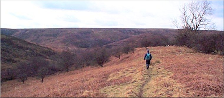
1.) Start at the large lay-by off the A171 Whitby/Scarborough coast road at map ref. NZ944002. The lay-by is the old A171 before road improvements were carried out. It's about 1.5km SE of the Flask Inn and about 3km NW of the Falcon Inn on the route of the Lyke Wake Walk. Follow the lay-by NW across the head of Burn Howe Dale to a public footpath on the left. The footpath goes south west above Burn Howe dale for about 1.2km then drops down the steep hillside to a foot bridge across the beck in Burn Howe dale and after another 150m, crosses Jugger Howe Beck. The path follows Jugger Howe Beck for about 100m and then crosses back over the beck and climbs up the valley side. The path runs near the top of the valley side, following the beck down the valley for about 1.7km before dropping down to cross Helwath Beck at map ref. SE947983.
2.) At Helwath Beck, the path forks here. Keep to the right hand fork following Helwath Beck for about 100m to its confluence with Jugger Howe Beck and continue down the valley following the beck. Here the path passes through ancient woodland called Scar & Castlebeck Woods(link), managed by the Woodland Trust. Continue along the path to join a bridleway and cross the beck on a footbridge. From the bridge follow the track up to the road at map ref. SE952968 next to Chapel Farm. At the road turn right and walk south along the road for about 300m. Turn left here off the road to follow a public footpath across the fields for about 11.3km to the road at map ref. SE962958 next to Keasbeck Farm. At the road turn left and walk along the road for about 600m, round several bends and finally round a right angle bend to the right.
3.) Just over 100m beyond this right angle bend there is a public bridleway on the left along a farm access track. Follow this bridleway across the fields and then through Harwood Dale Forest for about 1.8km to the road (A171) at map ref. SE975978. Cross the main road and follow the minor road opposite round to the Falcon Inn on the right hand side of the road.
4.) From the Falcon Inn follow the footpath along the edge of the forest for about 500m to join a bridleway. Continue along the bridleway for about 2km along Pye Rigg to the edge of the forest at map ref. NZ968002. Continue across the open moor along a track to the Ravenscar Transmitter Mast about 1km to the north at map ref. NZ969011. At the mast the route joins the route of the Lyke Wake Walk. The route heads roughly WSW across the moor along a well walked track for about 2.5km to the A171. At the main road cross to the lay-by opposite and the end of the walk.
(top of page)
