Menu:
National Parks
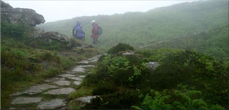
The approximate route is shown by a blue line.
Use your mouse to drag the map to the area of interest and
zoom in/out using the controls on the left hand side of the map.
Please use my map to find the route on your own large scale
walking map such as the OS Explorer series at 1:25000.
If you have time if you do this walk please let me know how you get on.
That would be very helpful to me to keep my information accurate and up to date.
Please note that I provide this free service to you as a fellow walker on the
understanding that you walk
the route entirely at your own risk and that the information is not used for
any commercial purpose.
Library Route 970614 Gribdale Gate, Roseberry Topping,
Hutton Village, Codhill Heights, Percy Cross Rigg,
Lonsdale Farm, Captain Cook's Monument circuit - 16km
North York Moors . . .
Map: OS Explorer OL26 North York Moors Western area at 1:25000
General Directions
The walk starts at the parking area at Gribdale Gate, map ref. NZ 592 110, almost 2km east of Great Ayton railway station. From this parking area follow the Cleveland Way heading initially northwards then bending round to the west to the summit of Roseberry Topping (320m) about 3km from the start at Gribdale Gate.
From the trig point on Roseberry Topping return along the Cleveland way path to the point (map ref. NZ 587 127) where the Cleveland Way forks. Take the left hand fork to Hutton Lowcross Wood. Continue along the Cleveland Way around the edge of the wood for about 500m to map ref. NZ 597 129. Turn left here off the Cleveland Way to follow a bridleway along a forest track descending through the forest to the road at the edge of Hutton Village(Map ref. NZ 599 140).
At the road turn right to walk along the road into the village. After about 200m turn left along a residential side street signed as a public footpath. Follow the footpath out of the end of the cul-de-sac to climb up the hillside into the woodland. About 250m from the end of the cul-de-sac the path crosses a bridleway running along a forest track.
At the bridleway turn left and follow the bridleway going north and west to the edge of the forest at map ref. NZ 608 138. Continue along the bridleway for another 450m to cross the Cleveland Way route at map ref. NZ 611 134. Still following the bridleway look out for a path on the right across this open access moorland to divert off the bridleway and go over the top of Codhill Heights (296m) and drop down again to rejoin the bridleway.
Follow the bridleway across the little valley called Sleddale and climb up to the minor road called Percy Cross Rigg. At the road turn right to walk along the road with Lonsdale Plantation on the left. (Note: there is an iron age hut circle just to the right of the road on the moor.) After about 800m there is a gate onto the open moor at the end of the road at map ref. NZ 606 118. Turn sharp left here to follow a track down through Lonsdale Plantation to join a public road to the east of Oak Tree Farm.
Follow the road down to cross Lonsdale Beck and climb up past Lonsdale Farm, round a left hand bend in the road to join the route of the Cleveland Way at map ref. NZ 605 104. Turn right off the road here to follow the route of the Cleveland Way through Coat Moor Forest and out to Captain Cook's Monument on Easby Moor at map ref. NZ 590 101. At the monument turn right to continue along the Cleveland Way dropping down through the open access woodland back to the road at Gribdale Gate and the end of the walk.
(top of page)