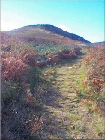
Cleveland Way climbing up the eastern end of Cringle Moor
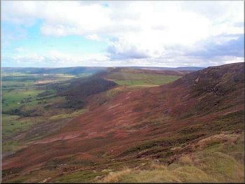
Looking east along Cringle Moor to the Wainstones
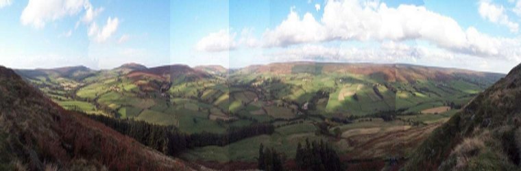
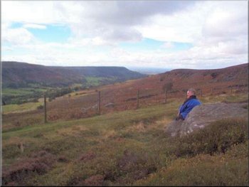
We were then able to follow this track for about 2 miles, all the way along the ridge of Cold Moor until it met the Cleveland Way over looking Tesside. The view there is magnificent. The Tees estuary is visible behind the distinctive shape of Rosberry topping and at this distance the steaming industrial towers and installations of Teesside have an appeal of their own. The Cleveland Way was paved a few years ago and it has proved to be a really good job. There has been little or no erosion since the paving and cobbles were installed and the paving itself has blended into the landscape completely. At the Cleveland Way we turned left to descend from Cold Moor and then climbed up the steep cobbled steps onto Cringle Moor. There is the view over Teeside to the right and the view back towards Bilsdale to the left so we could stop for a breather, "to admire the view" as often as we liked. On Cringle Moor we paused for a few minutes to take in the panorama from the Alec Falconer memorial stone seat looking out to the north sea on the right and sweeping right round to the Pennine hills to the left. By now it was about half past twelve so we headed down from the moor to Lord Stone's Cafe, hidden away half underground amongst the trees beside the road at the top of Carlton Bank. There we had a mug of tea and a hot chicken bun with stuffing, very tasty and quite filling. |
We followed the lane for about a quarter of a mile and turned off right up a dead end road leading to Beak Hills farm. After about 100 yards there is a footpath (not signposted) to the right up a farm track. After about 50 yards the track turns right but the path goes straight on up the field to a gate at the top leading on to the moor. There is a footpath arrow sign on the gate. We followed the path as it wound its way up the moor. After a few hundred yards the path petered out and we had to make our way through the heather. We walked along the top of a spur of land leading onto the ridge of Cold Moor. We aimed for two large boulders near the skyline about 400 yards ahead and after that we kept towards our right but without loosing any height until we struck a track coming up the top of the next spur.
The Wainstones from the end of Cringle Moor
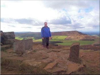
Pausing at the Alec Falconer seat on Cringle Moor
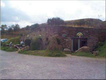
Lord Stones Cafe (completely refurbished around 2012)
|
Seat shaped boulder overlooking Scugdale
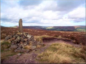
Cock Howe on the ridge above Chop Gate
From Cock Howe we followed the bridle way down a long spur of land directly back into the car park at the village hall in Chop Gate. The whole route is around 10 miles with a few climbs and took us about 5 hours including a stop at the cafe. We provide a guided walk for a group of friends about once a month and now that we're sure the route is properly open we will walk this route with our friends on Saturday. |
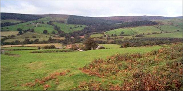
Just after leaving the cafe we turned off the Cleveland Way and followed the stone road towards the glider club on the moor. A few hundred yards before the glider club we took the path to the left across the moor to Brians Pond and then followed the path above Scugdale to Barker's Craggs and then on to Barker's Ridge. We stayed on the stone track for about one and a quarter miles to Cock Howe.
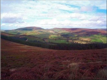
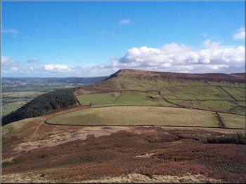
The head of Bilsdale seen from Barkers Ridge
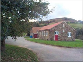
Village Hall in Chop Gate
|