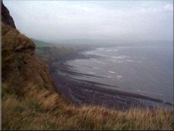
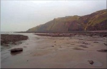
Robin Hoods Bay from the Ravenscar headland
We parked by the information office near the cliff top and set off on the track to the headland down the golf course. The rain had stopped but it was still overcast and misty. We followed a group of German visitors to the headland path and exchanged comments about the weather as we passed. The path down the headland is steep and slippy and we descended carefully to the rocky shore. |
I had checked the tide times on the Scarborough Evening News web site, and found that it was low water after mid-day to-day, ideal for a beach walk. So this morning I drove to Ravenscar with my son who is visiting York this weekend. He works in London so it was a rare opportunity for a good walk and a chat.
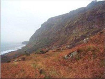
Steep awkward descent down the Ravenscar headland
|
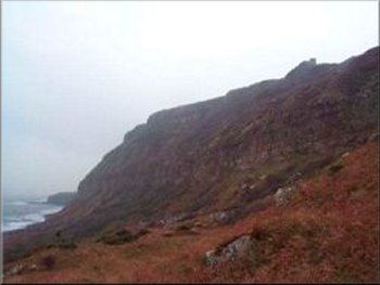
Steep awkward descent down the Ravenscar headland
Steep awkward descent down the Ravenscar headland
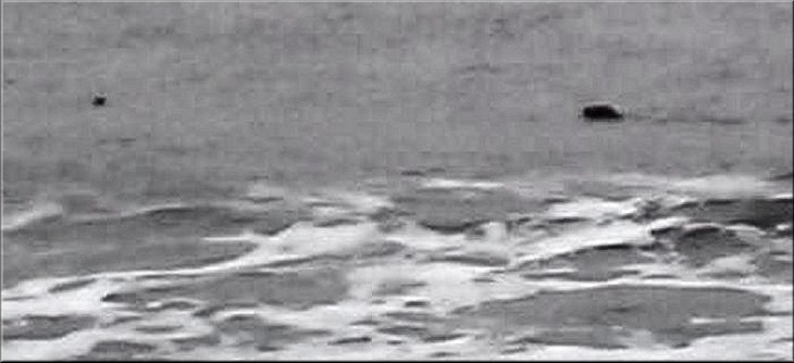
There was a strong southerly breeze and the seals were resting in the calmer water on the north side of the rocks. We saw five of them bobbing in the swell. They seemed to come to look at us and after 10 or 15 minutes slowly dispersed again. |
Below the headland a rocky scar extends out to sea for a few hundred yards and at low water there are usually a few seals on the rocks or close inshore. We picked our way across the rocks encrusted with barnacles and small mussels to the seaward edge.
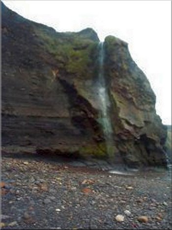
Little waterfall down the cliff to the beach
as we made our way along the beach to Stoop Beck
|
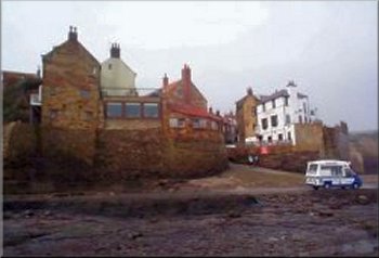
The slipway at Robin Hoods Bay
The vegetable casserole with rice was very tasty - I'm not vegetarian myself, I love my roast meat too much, but the cafe/bookshop is an interesting place. After the meal we climbed the village street to the disused coastal railway and followed the path along the railway track for almost four miles back to Ravenscar. Half an hour before we got back it started to drizzle and a few hundred yards from the car the rain started in earnest and did not ease for over an hour. The whole route was about 7 miles. |
We made our way over the seaweed covered rocks around the bay to Stoupe Beck and then Boggle Hole where there is a Youth Hostel and along the beach to Robin Hoods Bay. The mist had lifted and though still overcast it was not a bad day for a walk. We called in at a vegetarian cafe and bookshop on one of the many side alley ways up the steep village street in Robin Hoods Bay.
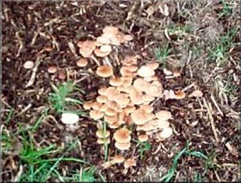
Another kind of autumn fungus
|